Nearby
📍 Location Details
Latitude:
Longitude:
Accuracy:
Updated:
0 km
100 km
Path
km
-
km
m
m
Hike Type
Round trip
Circular
Crossing
Partially circular
Recommended Period
All
Hiking
Snowshoeing
Ski-mountaineering
Mountaineering
Via ferrata
Climbing
Mountain bike
Trekking
Active filters:
Tags: hiking,summits,liguria
Showing 33 results
with active filters
Loading...
Edited by:
Maurizio Loconti
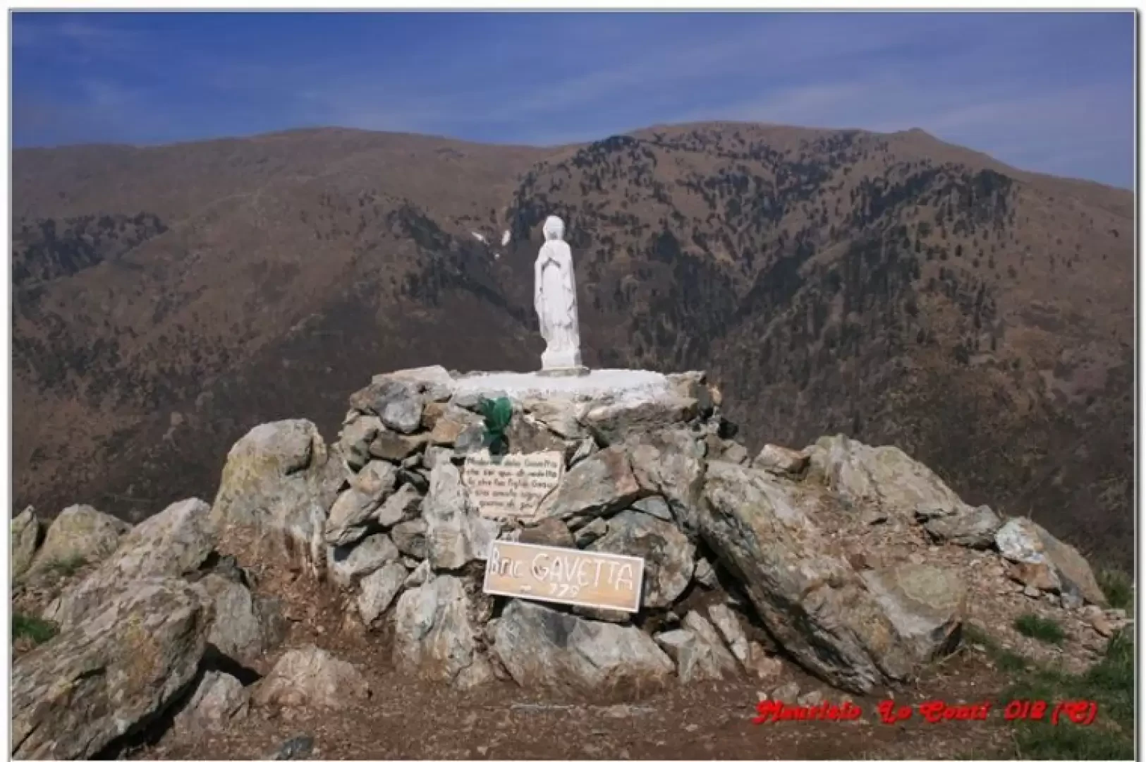
Bric Gavetta, from Agueta
A ring above Arenzano, shelters and paths between the mountains and the sea.
T2
11.50 Km
510 m
Edited by:
Maurizio Loconti
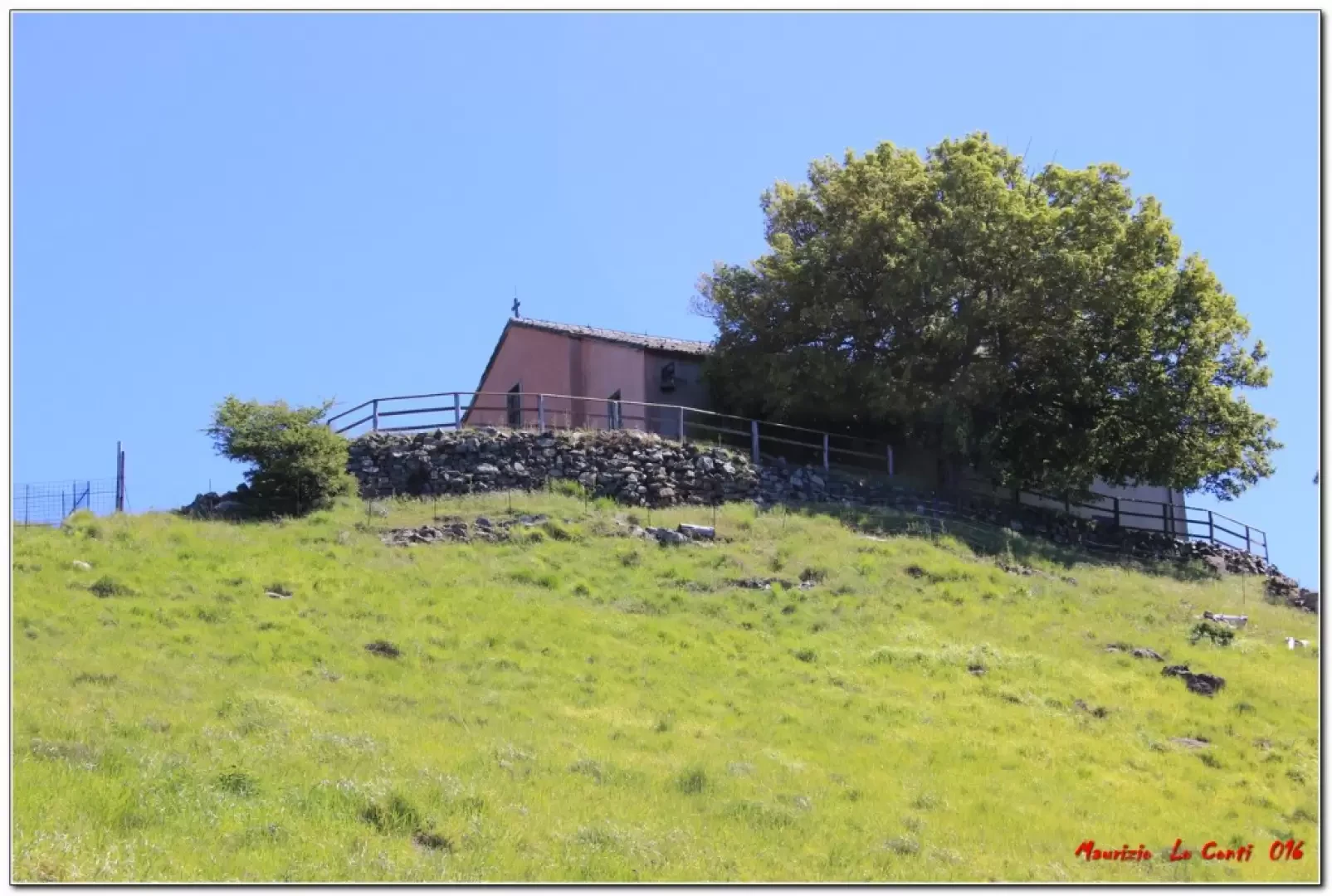
Mounts Dragnone and Castellaro, from Pieve di Zignago
Beautiful ride through the living green of spring on a weather day that was nothing short of fantastic. In truth,...
T2
6.00 Km
470 m
Edited by:
Maurizio Loconti
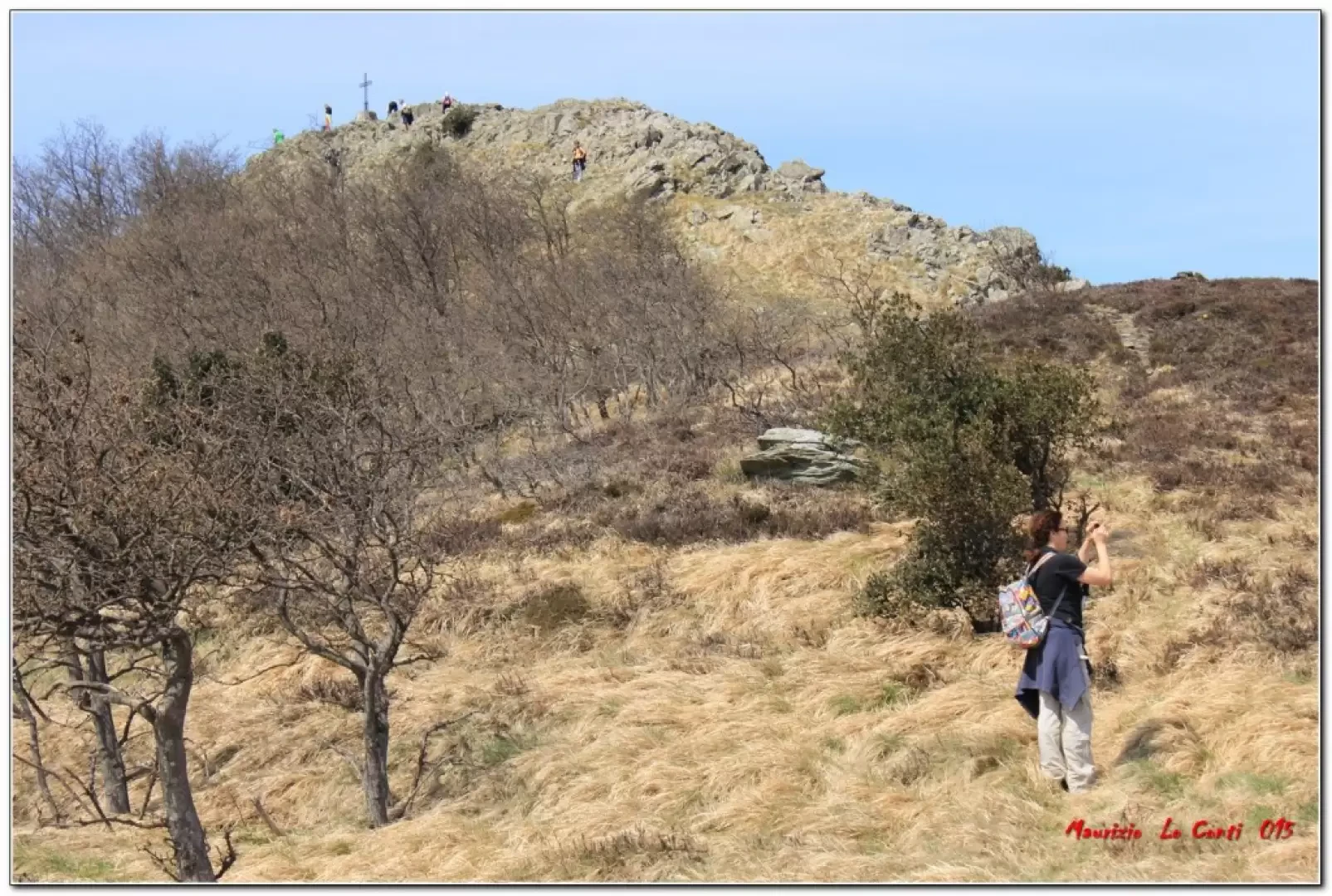
The Priafaia Mountain Ring
A ring from Ceresa in the Alpicella area (SV) Monte Beigua park.
T2
0.00 Km
500 m

Edited by:
fabio_olmo
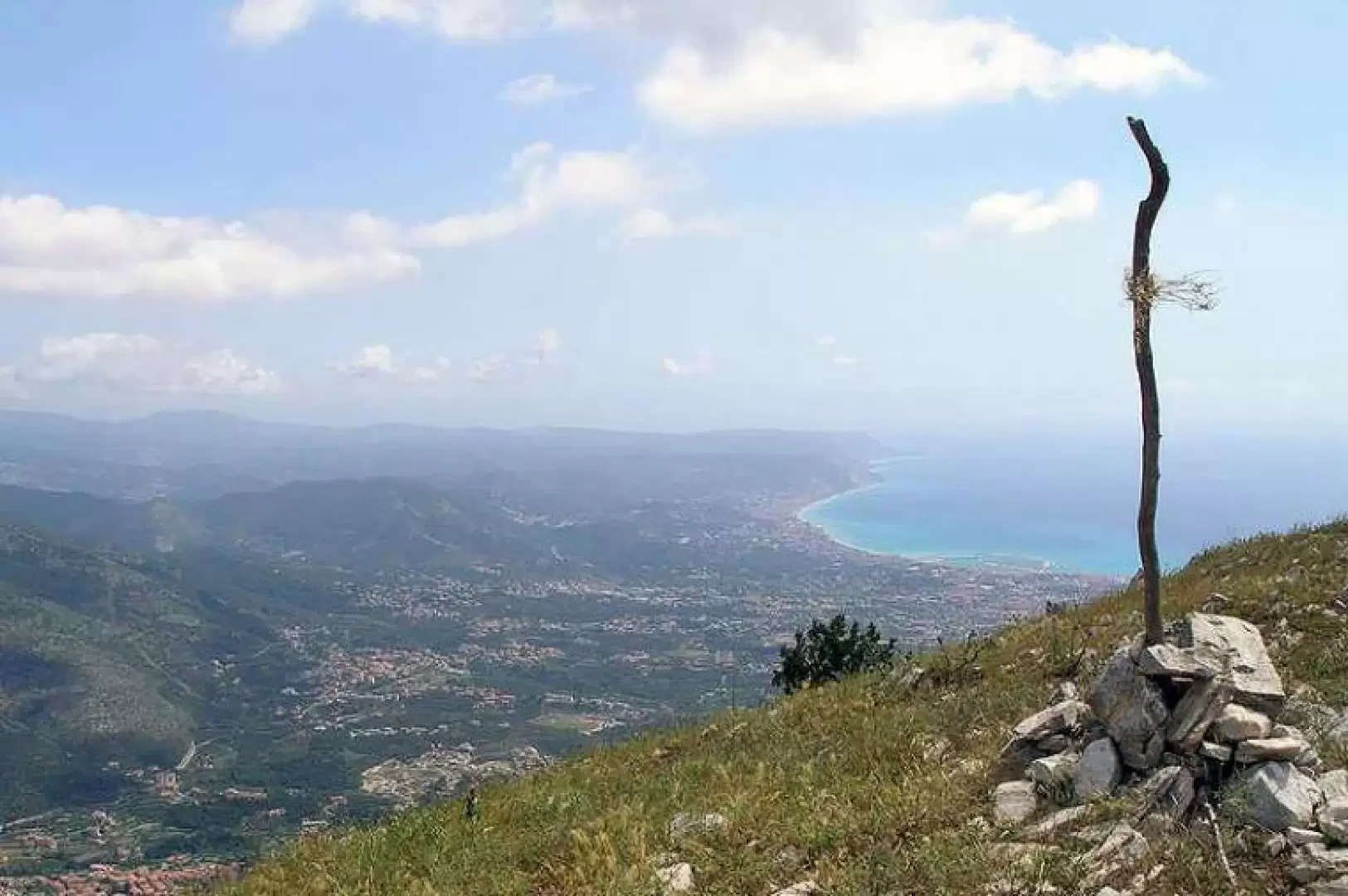
Mount Acuto
A mountain whose ridge towards the sea divides the Pietra Ligure-Loano-Borghetto and Albenga sides. It is interesting for its panorama...
T2
0.00 Km
91 m
Edited by:
Maurizio Loconti
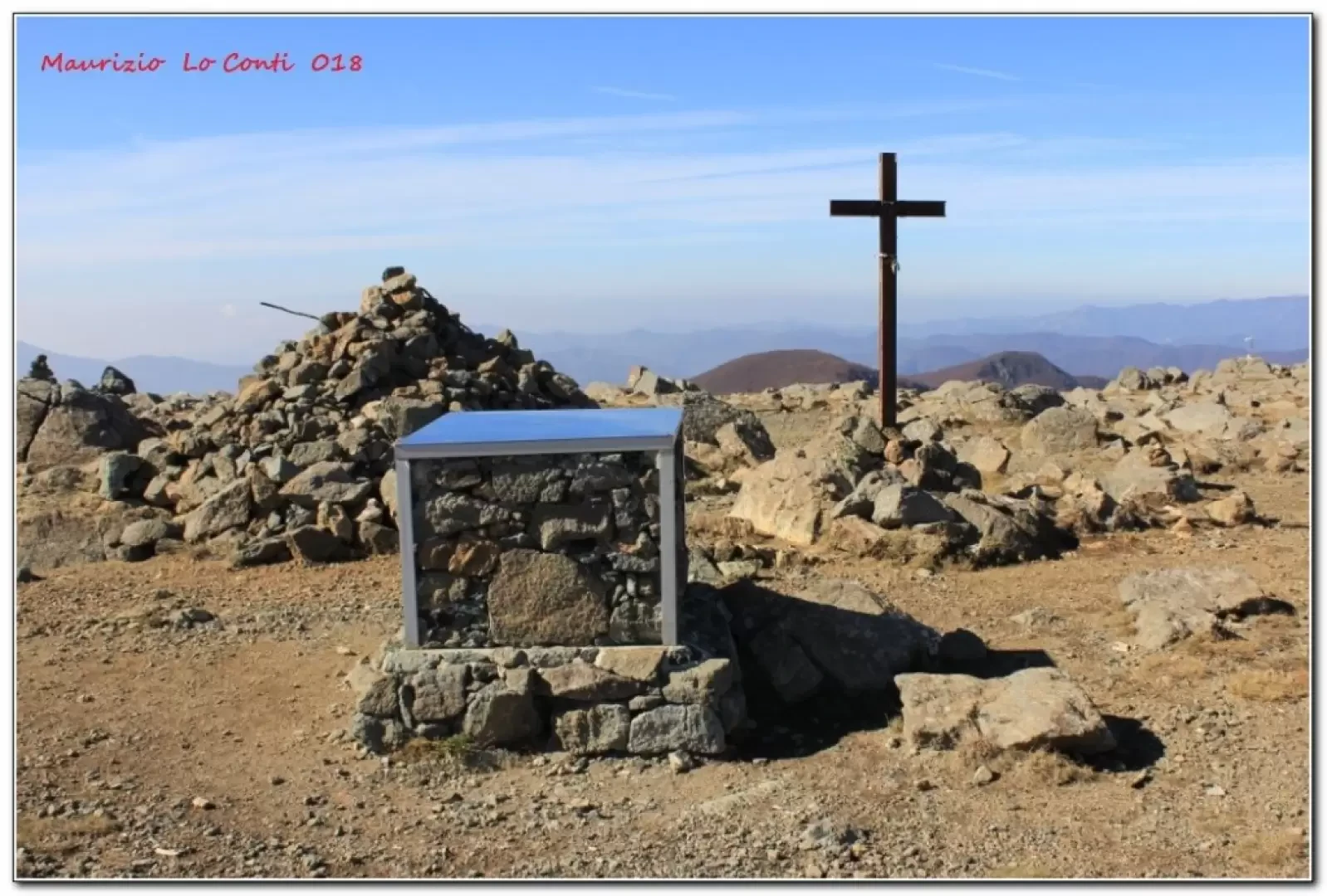
Monte Aiona, from the Casermette del Penna
The Aiona is one of the highest mountains in the Ligurian Apennines and the excursion takes you through stupendous fir...
T2
13.00 Km
480 m
Edited by:
Maurizio Loconti
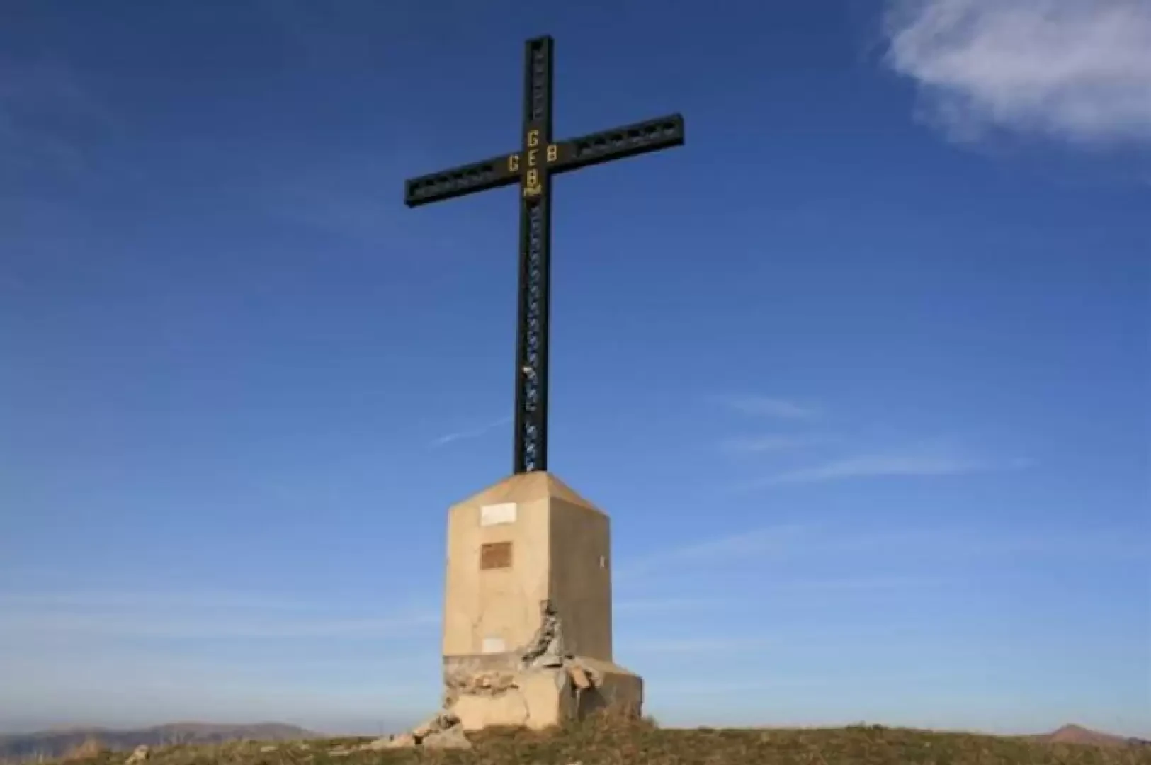
Mount Darkness
Simple and beautiful tour through a beautiful beech forest reaching Monte Buio, a peak that rises not far from Monte...
T2
0.00 Km
300 m
Edited by:
Maurizio Loconti
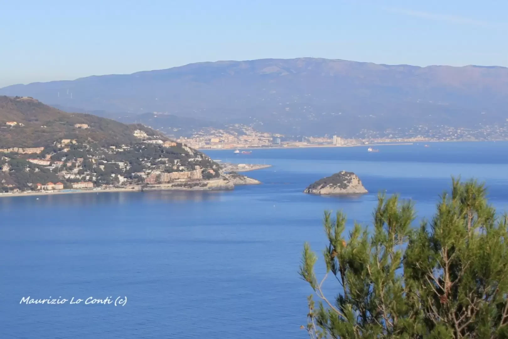
Monte Capo Noli
The Monte di Capo Noli loop, a tour of history amidst exceptional views.
T2
8.00 Km
512 m
Edited by:
Maurizio Loconti
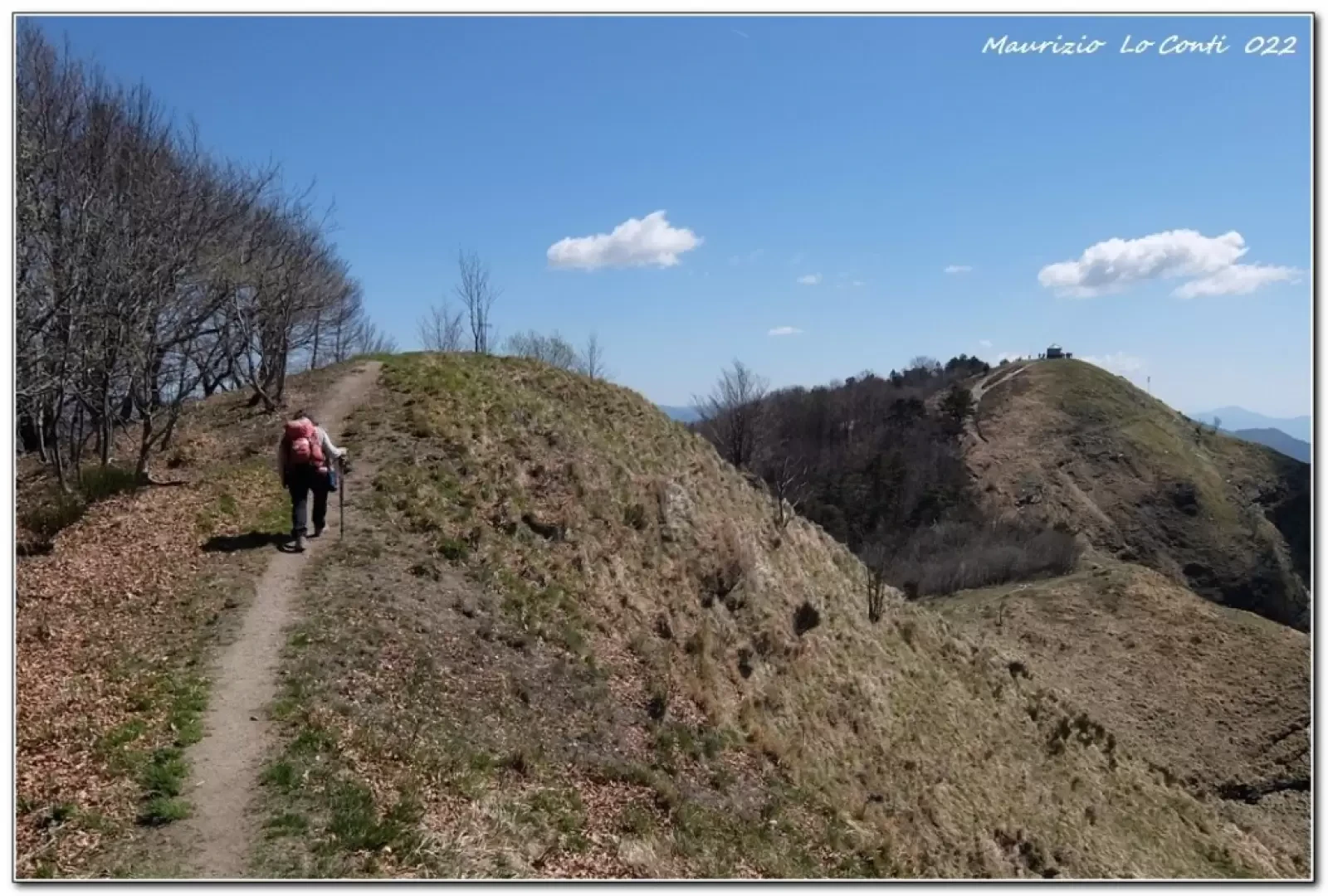
Mount Caucasus, from Corsiglia
Corsiglia, a hamlet of the municipality of Neirone, is a preferable starting point, rather than the main locality, because it...
T2
12.00 Km
725 m
Edited by:
Maurizio Loconti
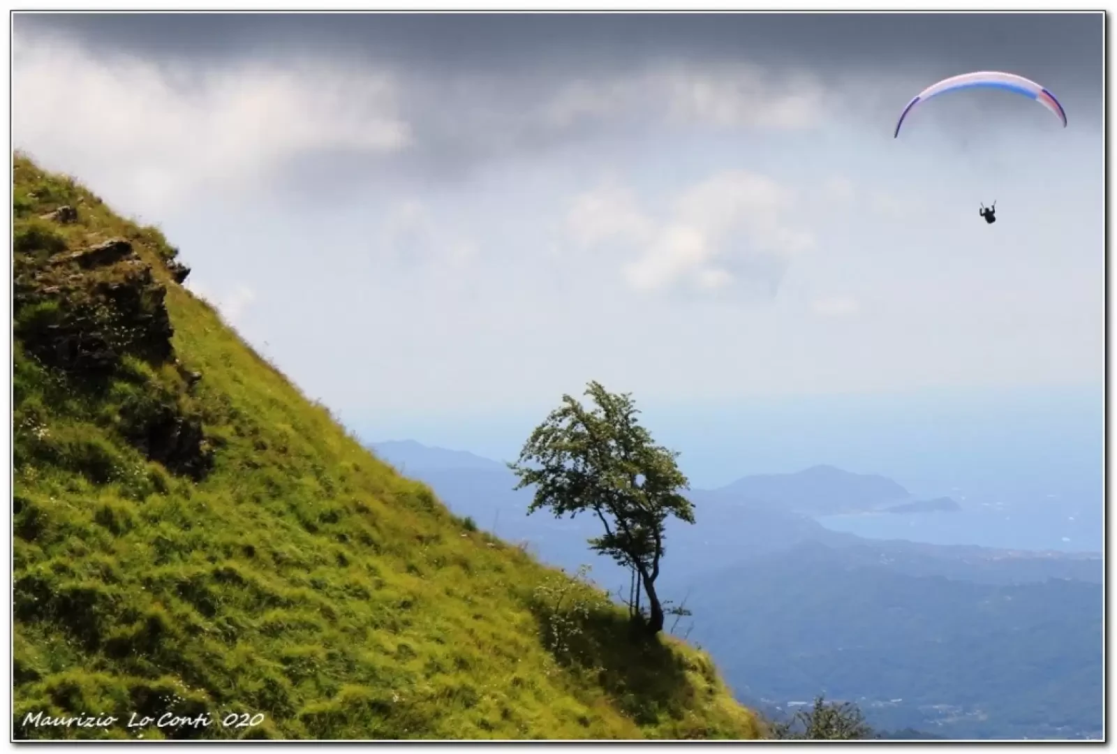
Mount Caucasus, from Fontanabuona
Barbagelata (1115 m) is one of the highest villages in the Ligurian Apennines, while Caucasus (1245 m) is a mountain...
T2
8.00 Km
345 m
Edited by:
Maurizio Loconti
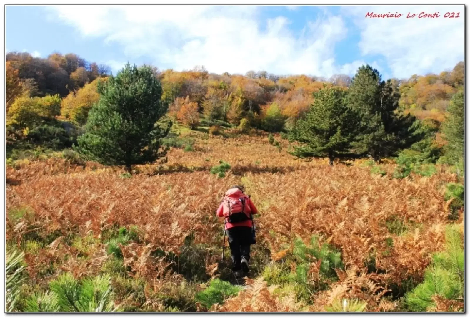
Monte Cucco, from Brizzolara
Mount Cucco is a peak that stands out along the southeast buttress of the Ramaceto. The summit is grassy, with...
T2
6.00 Km
525 m
Edited by:
Maurizio Loconti
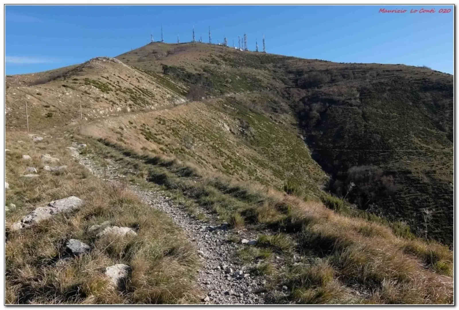
Monte Fasce, from Apparizione
Although the city is just a stone's throw away, the excursion highlighted here should not be underestimated; it is a...
T2
8.00 Km
674 m
Edited by:
Maurizio Loconti
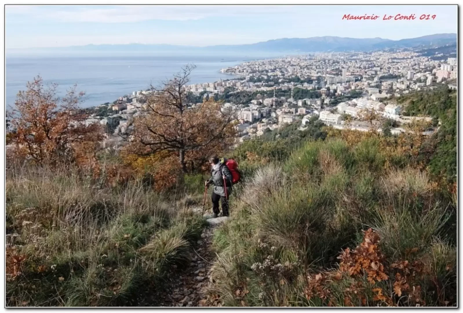
Monte Fasce, from Quinto al Mare
From Quinto al Mare to Monte Fasce
T2
8.00 Km
832 m