Nearby
📍 Location Details
Latitude:
Longitude:
Accuracy:
Updated:
0 km
100 km
Path
km
-
km
m
m
Hike Type
Round trip
Circular
Crossing
Partially circular
Recommended Period
All
Hiking
Snowshoeing
Ski-mountaineering
Mountaineering
Via ferrata
Climbing
Mountain bike
Trekking
Active filters:
Tags: hiking,summits,lys-valley
Showing 9 results
with active filters
Loading...

Edited by:
Massimo Martini
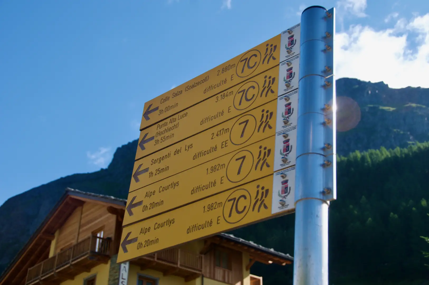
Alta Luce, from the Staffal car park
A round-trip route ascending to the summit of Alta Luce (Hochlicht, 3,184 m), situated on the ridge separating the Lys...
T3
12.92 Km
1409 m


Edited by:
Ivano Ruffoni
Alta Luce, dal Gabiet
Itinerario escursionistico che conduce ad ammirare il magnifico ghiacciaio del Lys (Lysgletscher) da un incredibile belvedere. Lo sguardo, dalla vetta,...
T2
10.60 Km
881 m

Edited by:
Massimo Martini
Balma di Oropa, from Pillaz
The Balma di Oropa is a border peak between Valle d'Aosta and Piedmont. The ascent to the Balma allows, on...
T2
13.00 Km
1074 m
Edited by:
Ivano Ruffoni
Croix Corma, from Fey dessus
Itinerary in a not-too-frequented area of the Aosta Valley. During the ascent, after the village of Pesse, one can observe...
T2
8.00 Km
823 m

Edited by:
Massimo Martini
Mont Crabun, from Fey dessous
There are places that have the misfortune to be little known and the good fortune to be little frequented: the...
T2
14.51 Km
1699 m

Edited by:
Giancarlo Beretta
Mont de Prial
This excursion goes up a beautiful valley dotted with alpine pastures and huts, many of which are well maintained, and...
T2
10.00 Km
1288 m

Edited by:
Massimo Martini
Punta dei Tre Vescovi
Vetta posta in territorio piemontese ma comodamente raggiungibile dal villaggio di Niel nella Valle di Gressoney. Il percorso discretamente impegnativo...
T3
7.00 Km
949 m

Edited by:
Giancarlo Beretta
Punta Lazoney
L'escursione si sviluppa nel vallone di Niel, laterale alla media Valle di Gressoney sopra Gaby, e consente con un bel...
T3
8.11 Km
1237 m
Edited by:
Massimo Martini
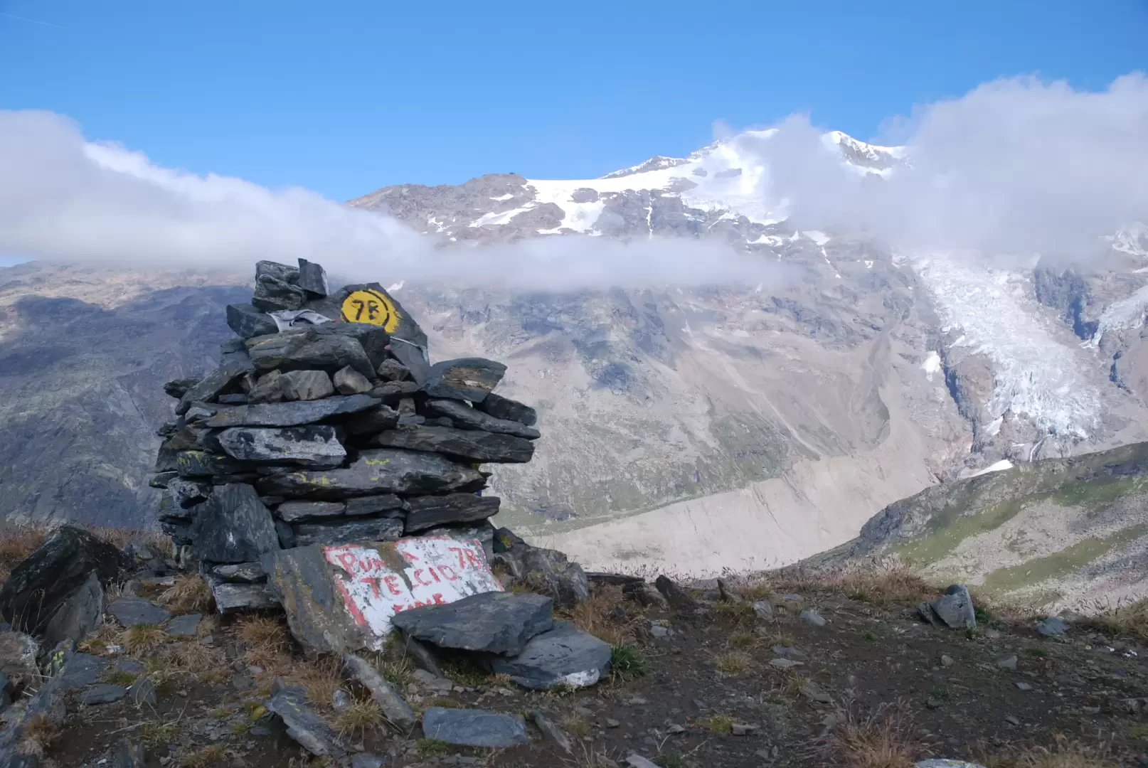
Punta Telcio, from Staffal
Punta Telcio (2833 m), easily recognisable by its obvious avalanche barriers, is located on the south-east side of the Moos...
T3
18.55 Km
1209 m