Nearby
📍 Location Details
Latitude:
Longitude:
Accuracy:
Updated:
0 km
100 km
Path
km
-
km
m
m
Hike Type
Round trip
Circular
Crossing
Partially circular
Recommended Period
All
Hiking
Snowshoeing
Ski-mountaineering
Mountaineering
Via ferrata
Climbing
Mountain bike
Trekking
Active filters:
Tags: hiking,valsavarenche
Showing 28 results
with active filters
Loading...

Edited by:
Massimo Martini
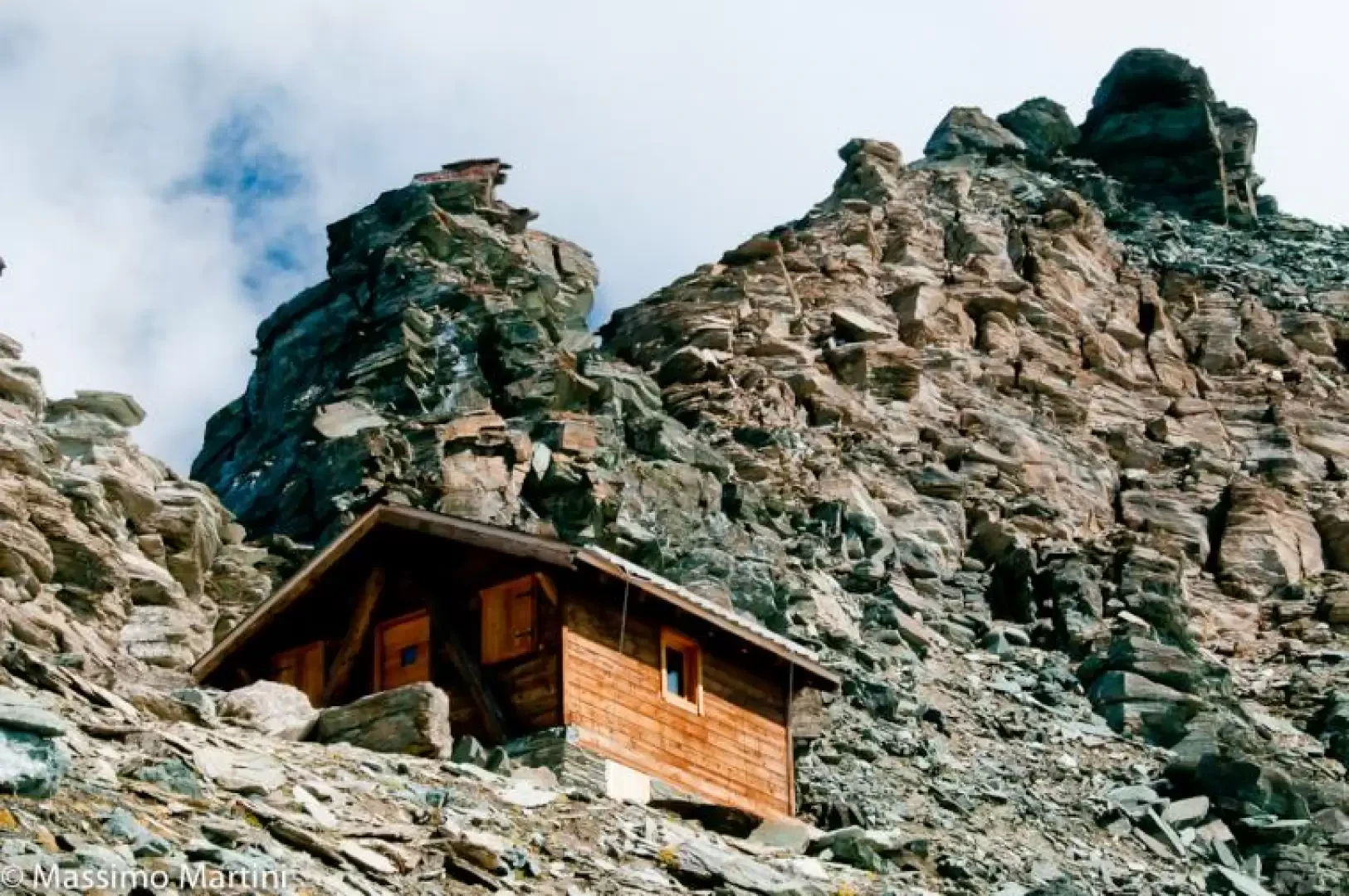
Grivola Bivouac, from Tignet
The ascent to the Bivacco Grivola should normally only be the first stage of the rewarding ascent to the Punta...
T4
15.00 Km
1752 m

Edited by:
Giancarlo Beretta
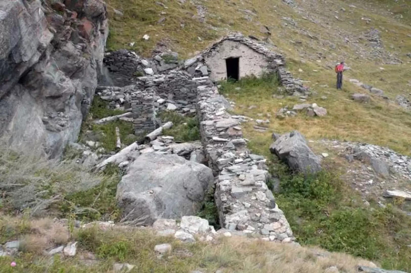
Bocconère damon, from Dégioz
The reference point for this excursion is a panoramic hut in the Gran Paradiso National Park, which is located on...
T2
6.83 Km
735 m
Edited by:
Giancarlo Beretta
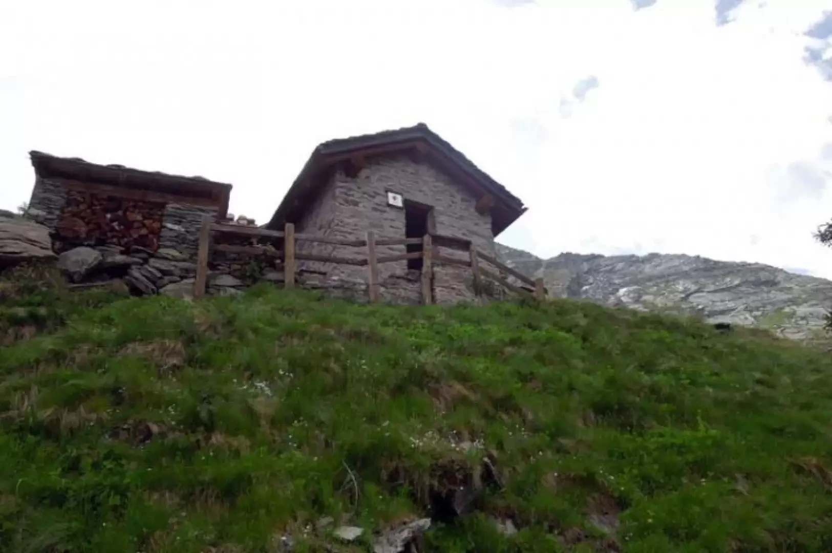
Arolla P.N.G.P. cottage
The ascent to this scenic hut in the Gran Paradiso National Park takes place on the steep wooded slopes of...
T3
6.00 Km
947 m


Edited by:
Massimo Martini
Casotto PNGP di Orvieille, da Eau Rousse
L'itinerario qui proposto rientra nel novero dei classici all'interno del Parco nazionale del Gran Paradiso. Il percorso, dal dislivello di...
T2
7.62 Km
515 m

Edited by:
Massimo Martini
Casotto PNGP di Orvieille, da Vers le Bois
Affascinante itinerario da percorribile anche fino ad ottobre inoltrato. Immersi nel Parco Nazionale del Gran Paradiso si può gustare al...
T2
12.10 Km
623 m

Edited by:
Giancarlo Beretta
Cima di Entrelor
La Cima di Entrelor, frequentatissima nella stagione invernale anche se solo fino all’anticima, è un possente massiccio roccioso che si...
T4
14.00 Km
1411 m


Edited by:
Massimo Martini
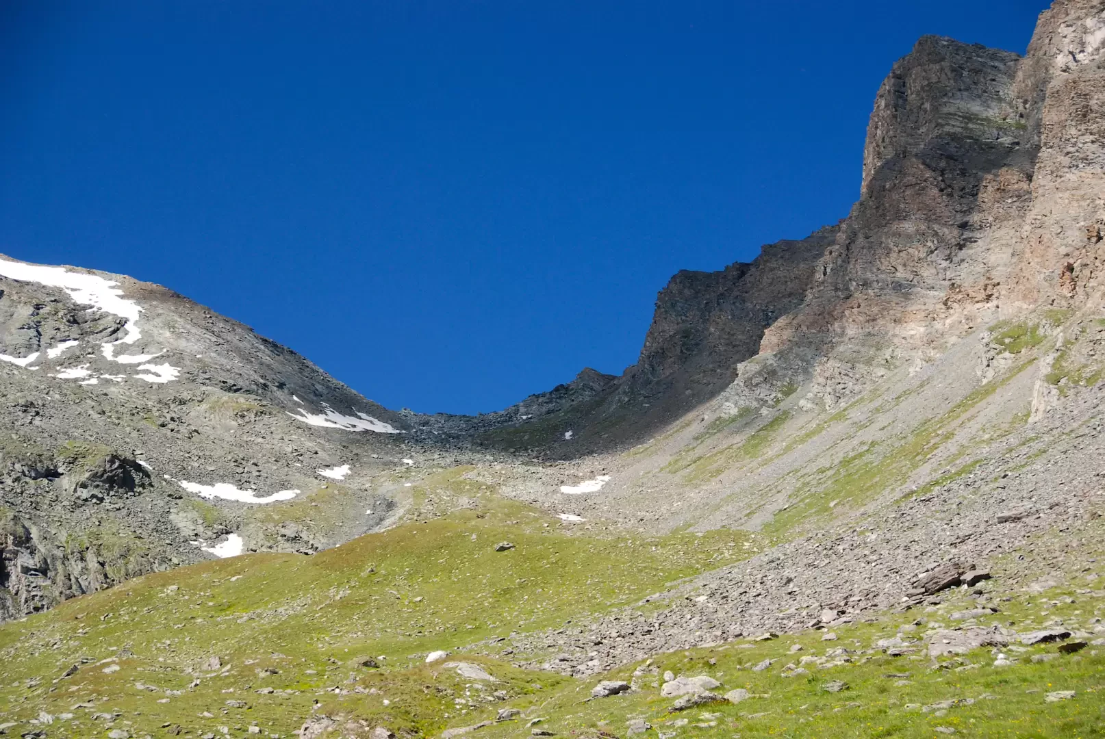
Col Entrelor, from Eaux Rousses
The Col Entrelor is an Alpine pass in the Graian Alps, located in Valle d'Aosta, in the municipality of Valsavarenche....
T2
20.36 Km
1333 m


Edited by:
Massimo Martini
Col Manteau, da Eau Rousse
Il Col Manteau è un passo montano situato nella parte bassa della Crête Chandelly, che unisce l'omonima punta e la...
T2
18.87 Km
1148 m