Nearby
📍 Location Details
Latitude:
Longitude:
Accuracy:
Updated:
0 km
100 km
Path
km
-
km
m
m
Hike Type
Round trip
Circular
Crossing
Partially circular
Recommended Period
All
Hiking
Snowshoeing
Ski-mountaineering
Mountaineering
Via ferrata
Climbing
Mountain bike
Trekking
Active filters:
Tags: hiking,walks,valtournenche-valley
Showing 5 results
with active filters
Loading...

Edited by:
Massimo Martini
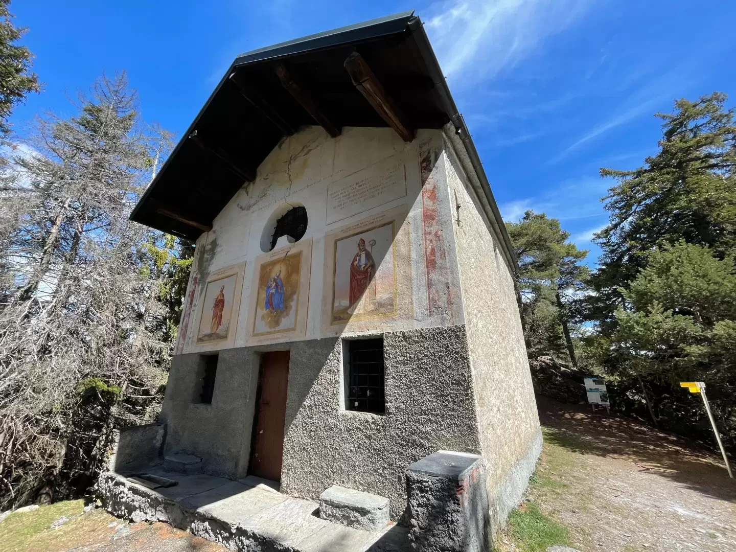
Chapel of Saint-Pantaléon, from Mognod
The hike to the chapel of Saint-Pantaléon winds its way between the houses of Mognod and the open pastures dominating...
T2
5.68 Km
191 m
Edited by:
Massimo Martini
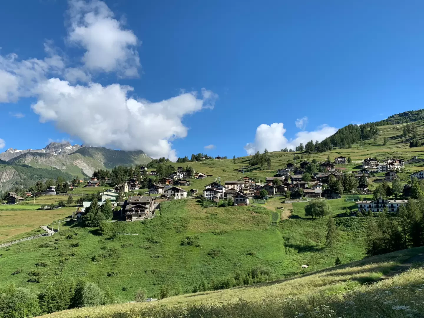
Corgnolaz, from the Vieu car park
Chamois holds several records. It is one of the highest municipalities in Italy and is the only one that can...
T1
10.30 Km
250 m
Edited by:
Massimo Martini
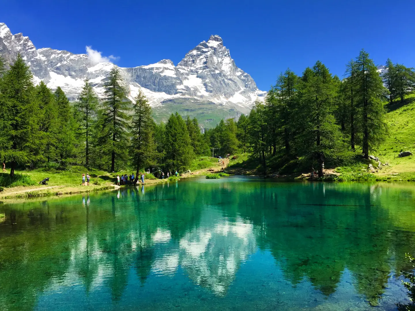
Lago Blu, from the Hotel Chalet Valdotain car park
A short circular walk that follows Regional Road 46 in the Valtournenche, just above the village of Breuil-Cervinia, ending at...
T2
0.36 Km
11 m
Edited by:
Massimo Martini
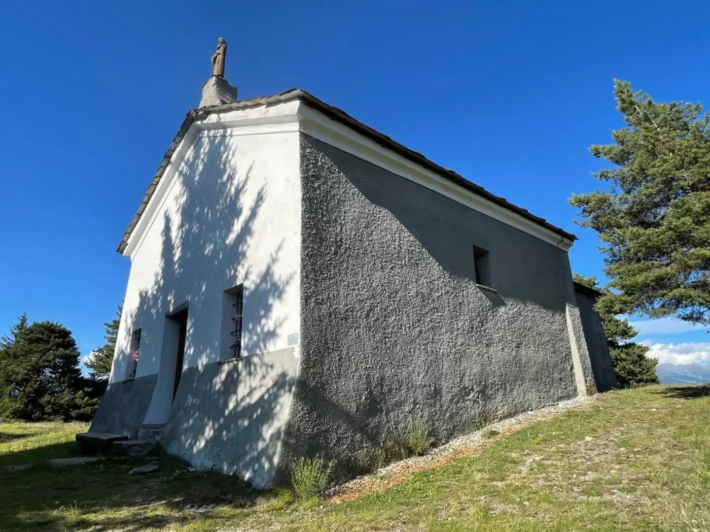
Puy de Saint-Evence, from the Col Saint-Pantaléon
This short route follows the ridge that separates the Valtournenche valley from the plateaus of Saint-Denis and Verrayes, winding through...
T2
5.00 Km
160 m

Edited by:
Massimo Martini
Ru de Liès, from Les Grands-Moulins
The Ru de Lies itinerary in Antey-Saint-André is an evocative route that allows you to explore one of the historical...
T1
4.73 Km
43 m