Nearby
📍 Location Details
Latitude:
Longitude:
Accuracy:
Updated:
0 km
100 km
Path
km
-
km
m
m
Hike Type
Round trip
Circular
Crossing
Partially circular
Recommended Period
All
Climbing
Hiking
Mountain bike
Mountaineering
Ski-mountaineering
Trekking
Snowshoeing
Via ferrata
Edited by:
Maurizio Loconti
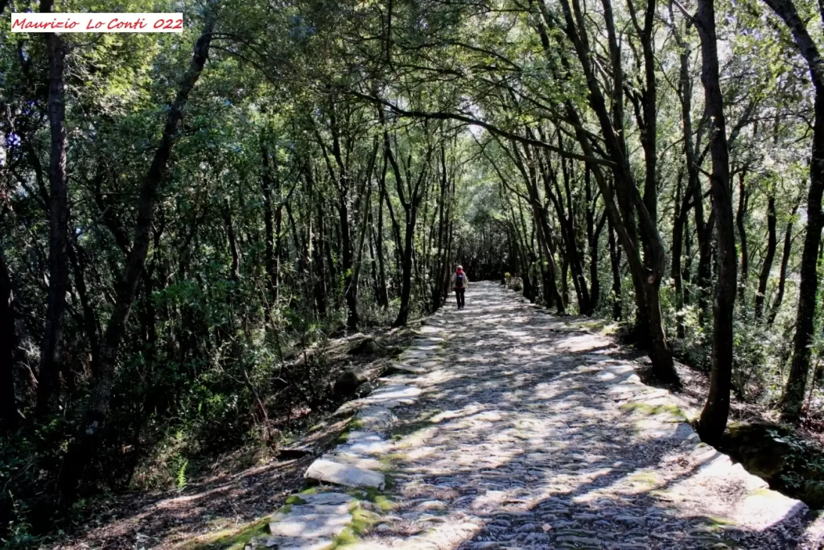
Monte Castello, from Rapallo
The walk follows some beautifully preserved paving stones, having long been the main access and pilgrimage route to the religious...
T2
9.24 Km
162 m

Edited by:
Marco Bonati
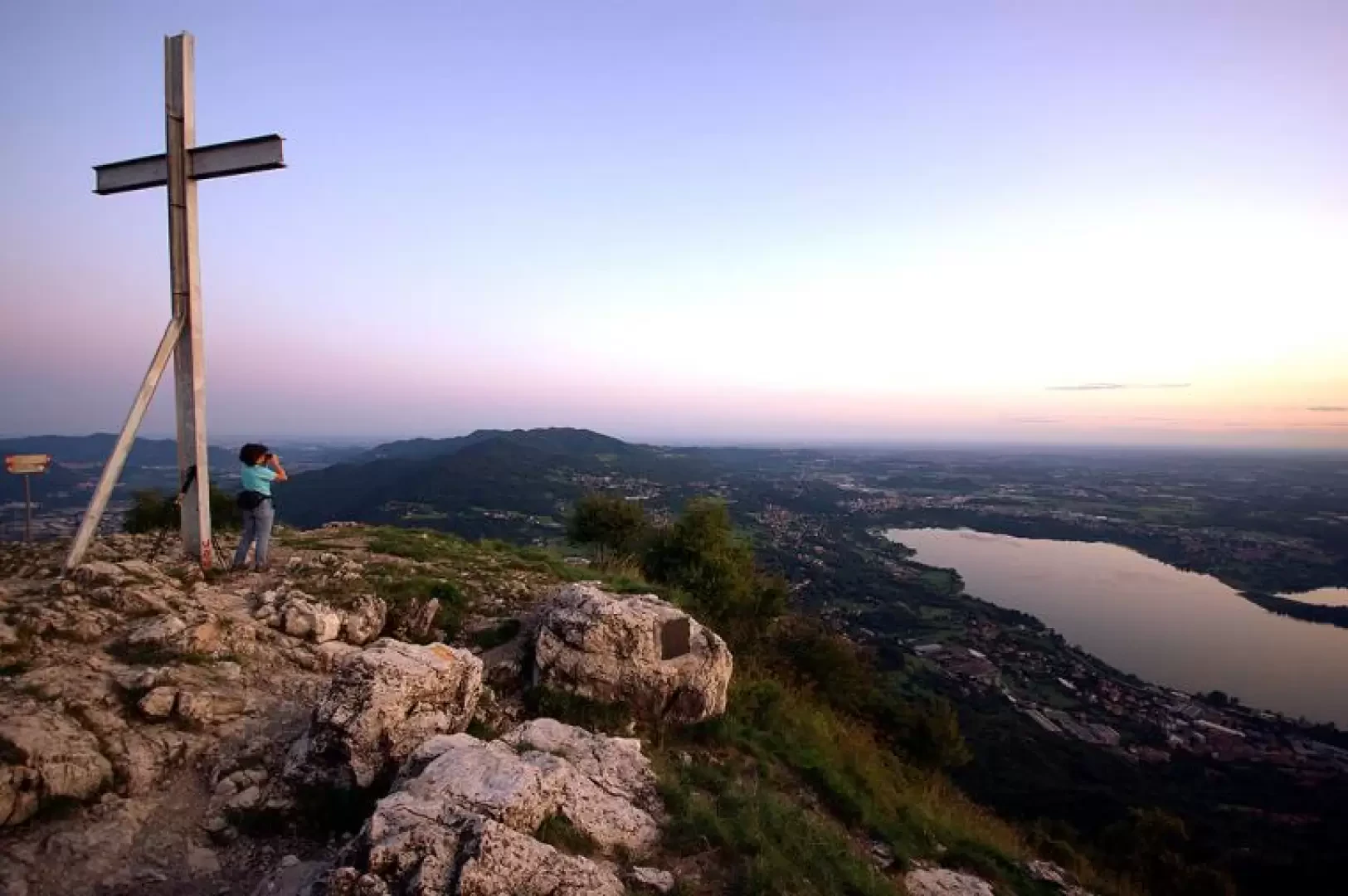
Monte Barro, from Sala al Barro
The shortest route to the panoramic peak is described here: a great way to end an otherwise busy day. However,...
T2
0.00 Km
220 m
Edited by:
Marco Bonati
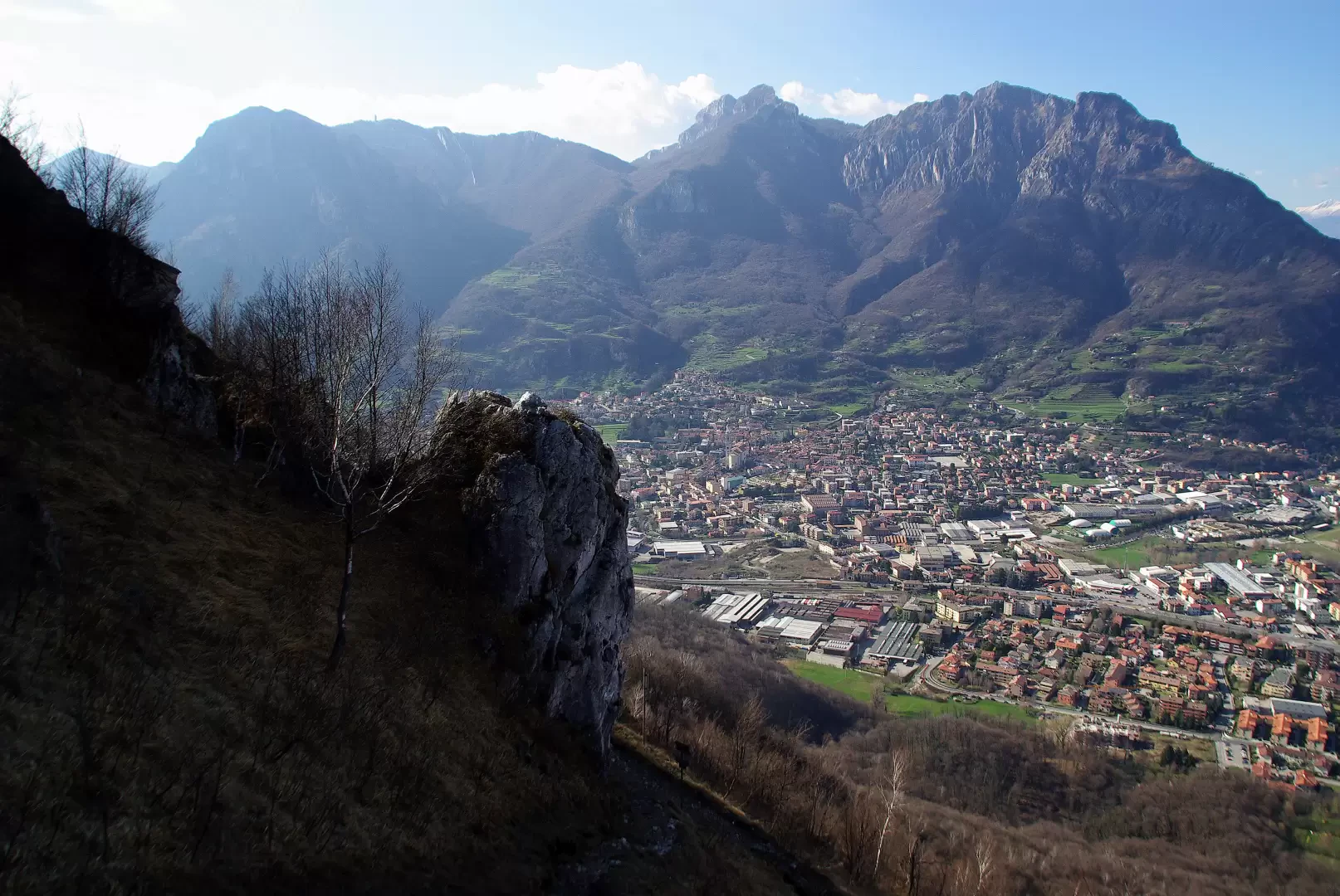
Monte Barro, from Galbiate
The longest and technically difficult route to the popular Lecco peak. Using a combination of paths, you walk two-thirds of...
T3
0.00 Km
551 m
Edited by:
Maurizio Loconti
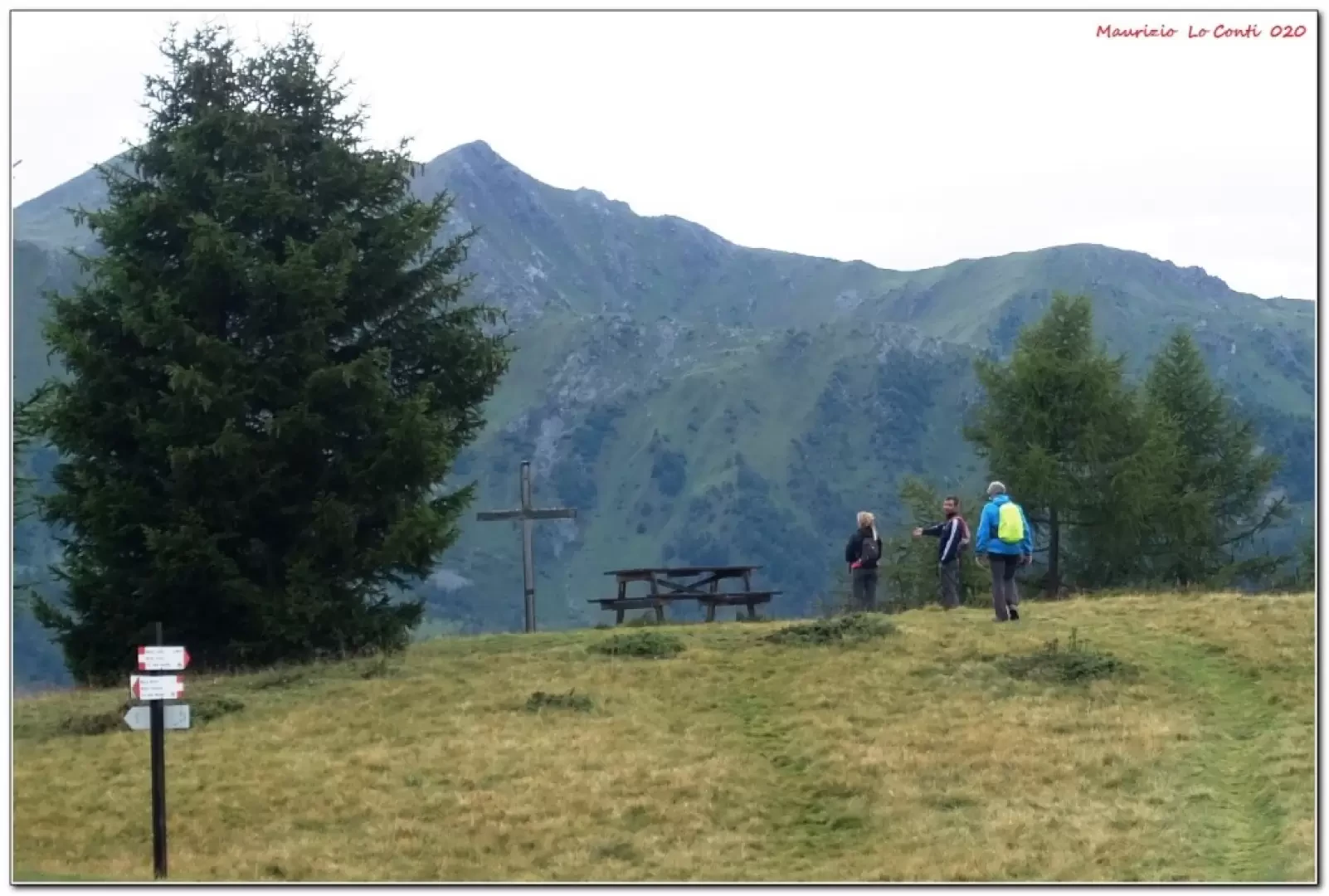
The alpine road between Ortise and Celentino
This is a scenic medium-length crossing, which follows a
section of the Via delle Malghe, a long route that cuts...
T2
11.00 Km
377 m
Edited by:
Maurizio Loconti
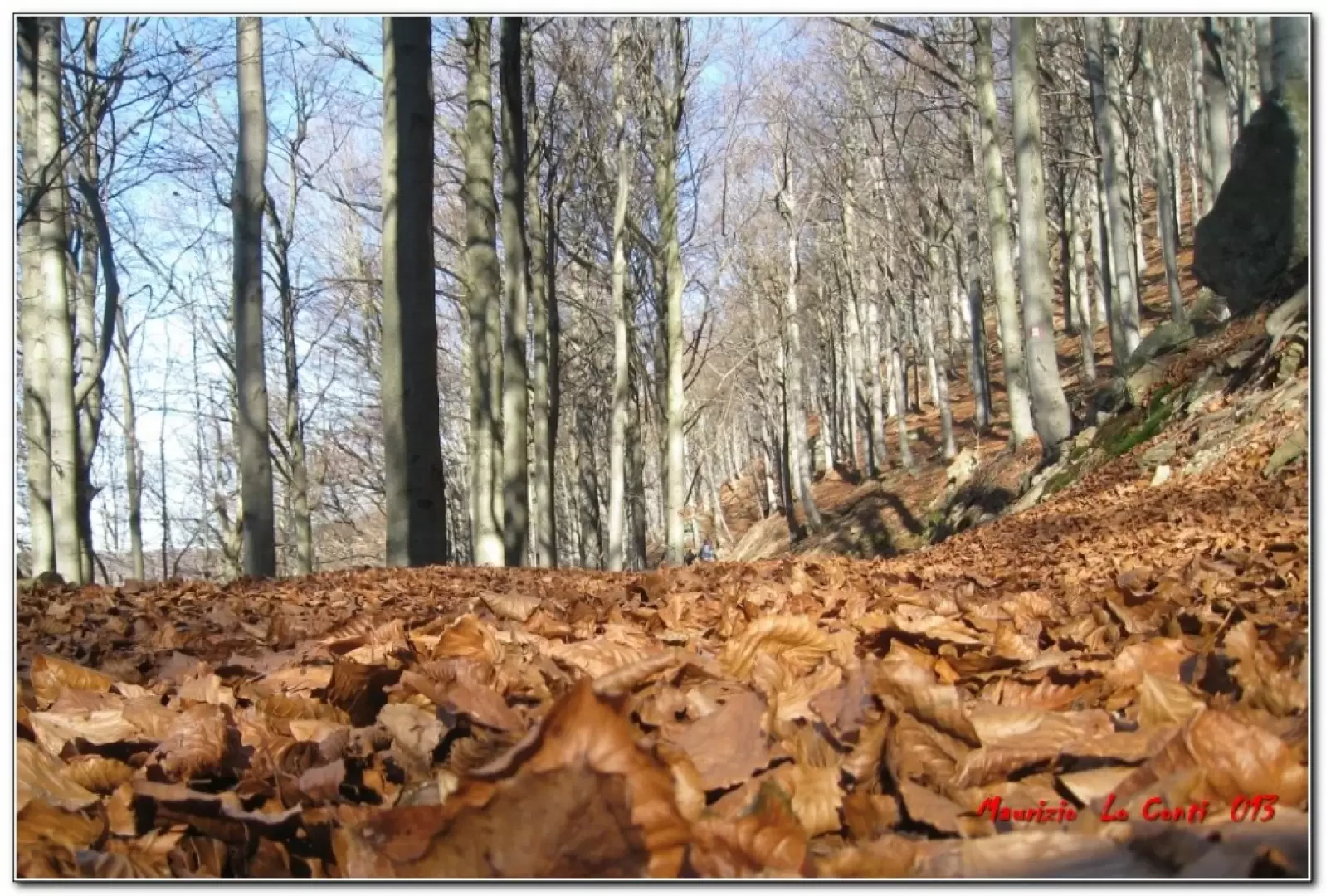
The Colle del Melogno beech forest
The Melogno beech forest is one of the main ones in Liguria and it is possible to make an interesting...
T2
0.00 Km
350 m
Edited by:
Maurizio Loconti
The Sambuco ring, from Fabbriche
Sambuco is indeed a beautiful village, probably unknown to most people, but still, incredibly, in the municipality of... Genoa... I...
T2
0.00 Km
600 m
Edited by:
Marco Bonati
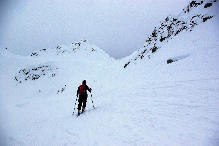
Mount Valegino
One of the many beautiful hikes possible from Tartano, and probably one of the least frequented. The arrival at the...
BSA
0.00 Km
900 m
Edited by:
Marco Bonati
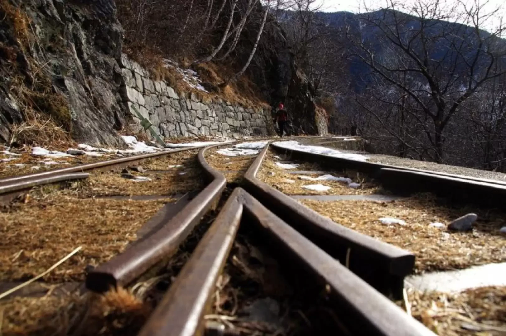
The Tracciolino, ring from Verceia
The Tracciolino is the classic and well known flat path that joins the hydroelectric plants of the Valle dei Ratti...
T2
0.00 Km
705 m

Edited by:
Maurizio Bergamini
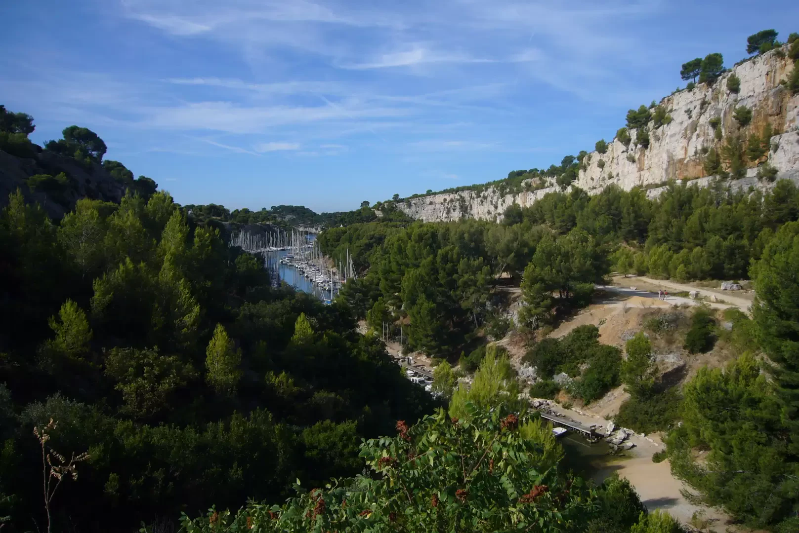
Calanque d'En Vau, from Cassis
How to get to one of the 100 most beautiful beaches in the world. A splendid walk through a protected...
T2
5.00 Km
180 m

Edited by:
Massimo Martini
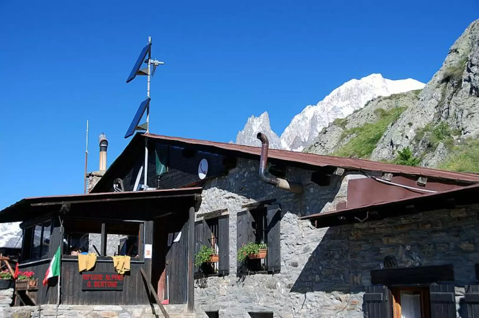
Bertone Mountain Hut, from the Raffort car park
A round-trip route that climbs up the Val Sapin valley, on the northern flank of the Mont Blanc massif, in...
T2
5.20 Km
573 m
Edited by:
Massimo Martini
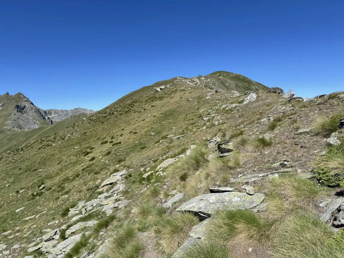
Mont Labiez, from the Mendey car park
A partly circular route leading to Mont Labiez, in the Gignod area, ascending from the Mendey car park through the...
T3
15.73 Km
1130 m
Loading more...