Col de la Fricolla

Edited by:
Massimo Martini
Access
Leaving the motorway 
For those coming from the upper valley, we recommend taking the motorway exit at Verrès, then turning right onto the SS26 until the junction for Champorcher (8 km).
To reach Crest, once you reach Pontboset, turn right and follow the signs for the centre. Cross the Ayasse stream and pass through the small hamlet of Vaseras, then take a steep little road on the right which, after an endless series of hairpin bends, leads to Crest, where you can leave your car.
Routes to the pass
from Outrelève, trail (4), T3, 5h00, Elevation gain 1,320 m – western slope
from Crest, trail (4) – AV2, T2, 4h15’, elevation gain 1,460 m – eastern slope
Introduction
The Col de la Fricolla links the two inner valleys situated on the orographic right-hand side of the Champorcher valley. The pass has gained some notoriety since 2006, when the Alta Via 2 of the Aosta Valley began to pass through it.
Description
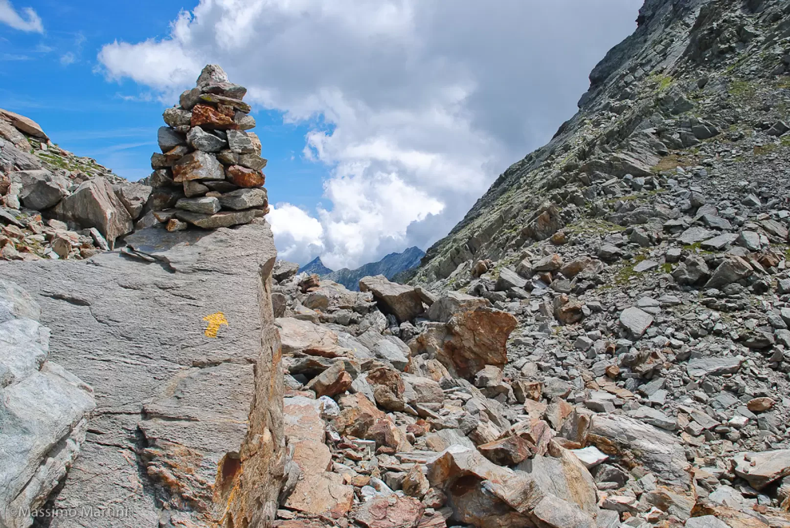
The hill is quite broad and is nestled between the peaks of Mont de la Fricolla and Monte dei Corni; the path on the western slope is stony but very well signposted, whilst the eastern slope appears slightly grassier.
Information
Altitude: 2,540 m
Alternative name: Colle della Fricolla, Col de l’Alleigne
Mountain range: Corni sub-range
Routes
Dortoir Crest