
Wrote 44 reports, for a total distance of 14,77Km up and a total elevation gain of 28,56Km and 263 hours of walking
0
followers
Active filters:
User: 447
Showing 44 results
with active filters
Loading...
Edited by:
Gian Mario Navillod
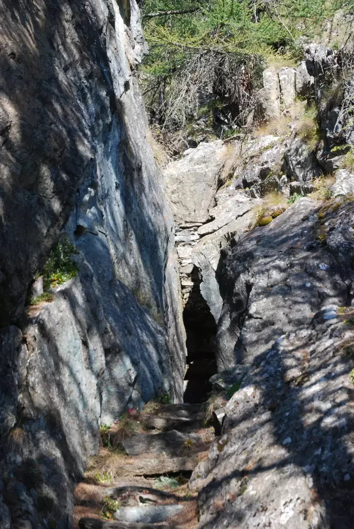
Borna da Ghiasa, from Erésaz
The Borna da Ghiasa, the Ice Hole in Italian, is a 30-metre deep cavity from which a flow of cold...
T2
1.00 Km
133 m
Edited by:
Gian Mario Navillod
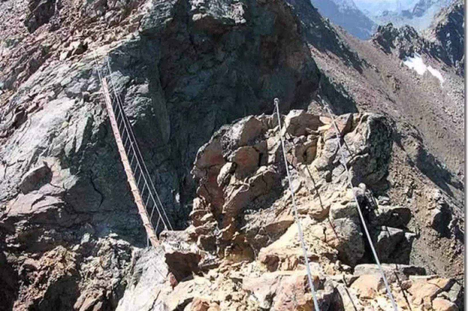
Mont Emilius, from Col Carrel
This is undoubtedly the most scenic via ferrata on offer in the entire Valle d'Aosta; the view sweeps over the...
D
0.00 Km
0 m
Edited by:
Gian Mario Navillod
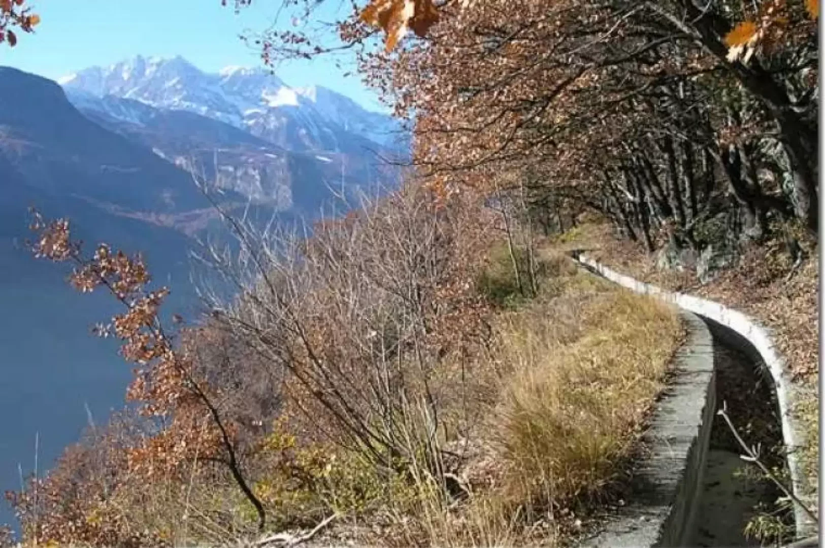
Ru Marseiller, from the Antey-Saint-André power station
This itinerary is a pleasant, long walk that will take you, accompanied by the water of the ru, from the...
T3
24.00 Km
50 m
Edited by:
Gian Mario Navillod
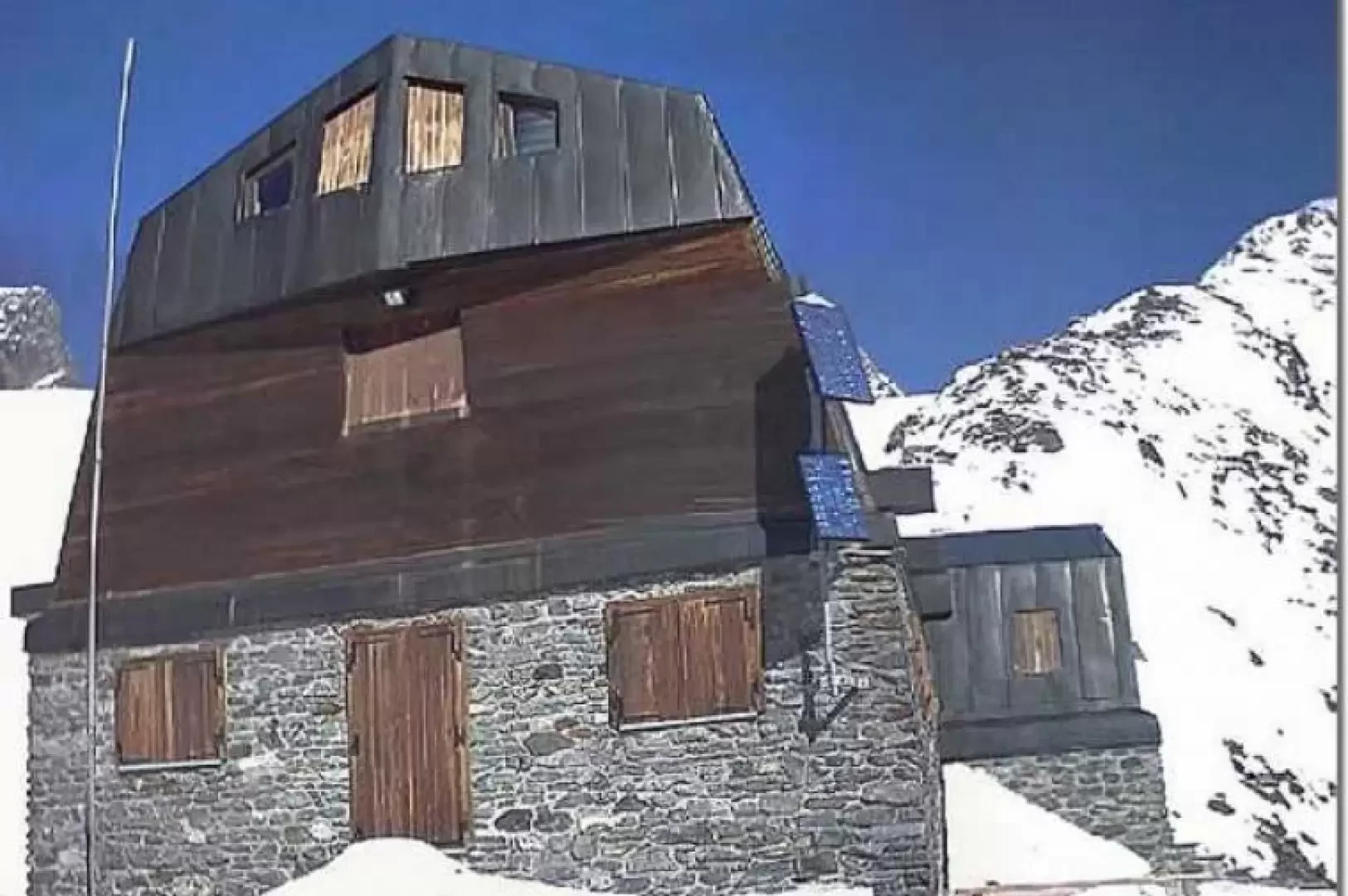
Ayas Guides’ Mountain Hut, from the Frachey car parks
A high-altitude route reserved for experienced hikers. The recently built mountain hut is situated on a peak surrounded by glaciers...
T3
0.00 Km
1730 m
Edited by:
Gian Mario Navillod
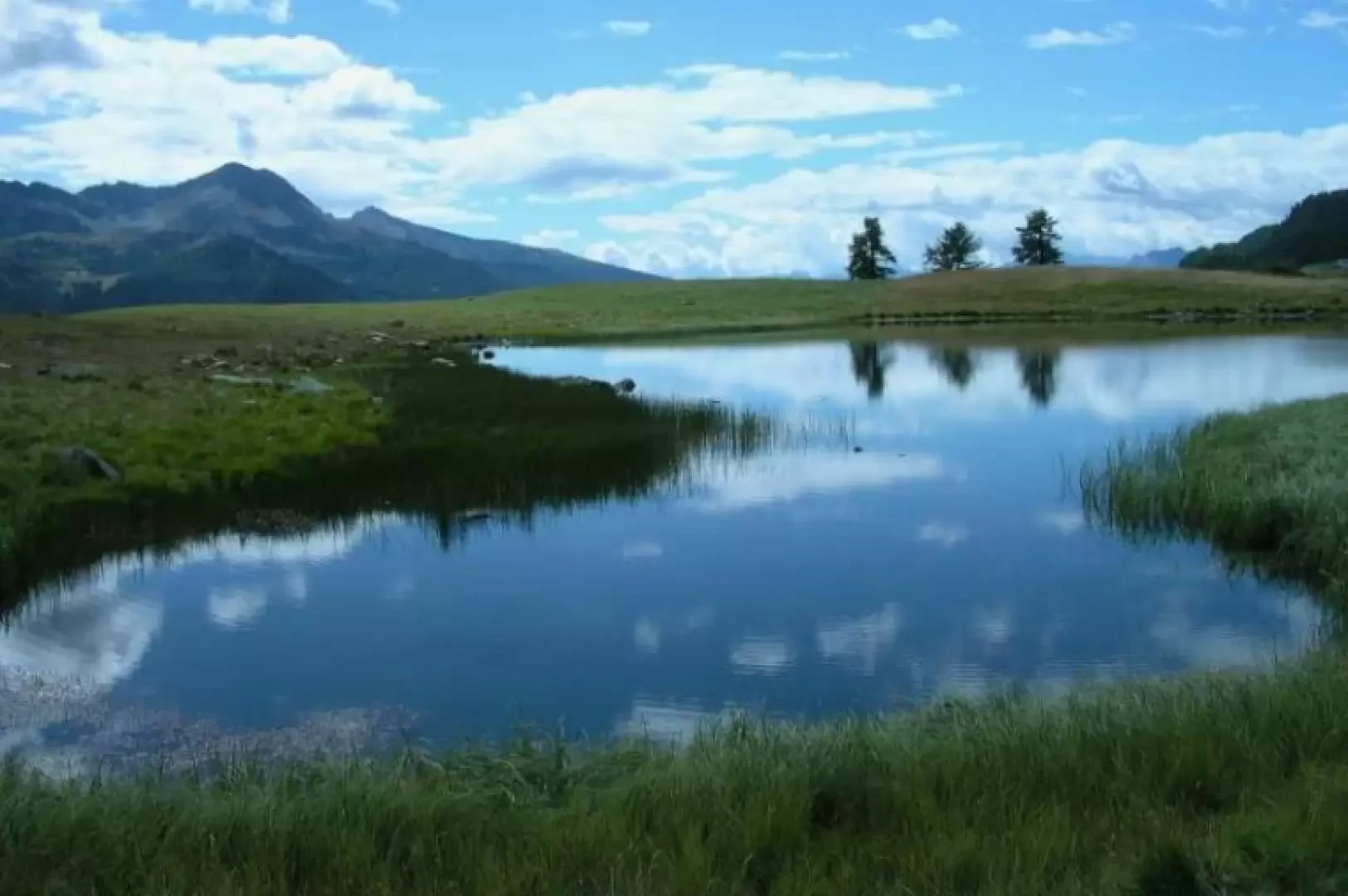
Lac de Cortina, from Valmartin
This pleasant hike leads to Lake Cortina, a little-known body of water in which the mountains separating Valtournenche from the...
T2
0.00 Km
600 m
Edited by:
Gian Mario Navillod
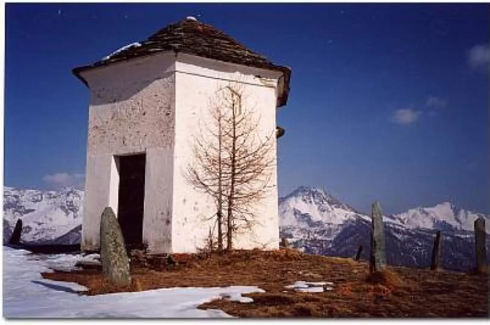
Gilliarey, from Buisson
A hike to discover the abandoned village of Levaz with arrival at the exceptional Gilliarey viewpoint.
T2
5.59 Km
1064 m
Edited by:
Gian Mario Navillod
Bivouac Borelli-Pivano
Beautiful but short ferrata: The equipped section has a gross height difference of about two hundred metres, including several unequipped...
PD
5.28 Km
835 m
Edited by:
Gian Mario Navillod
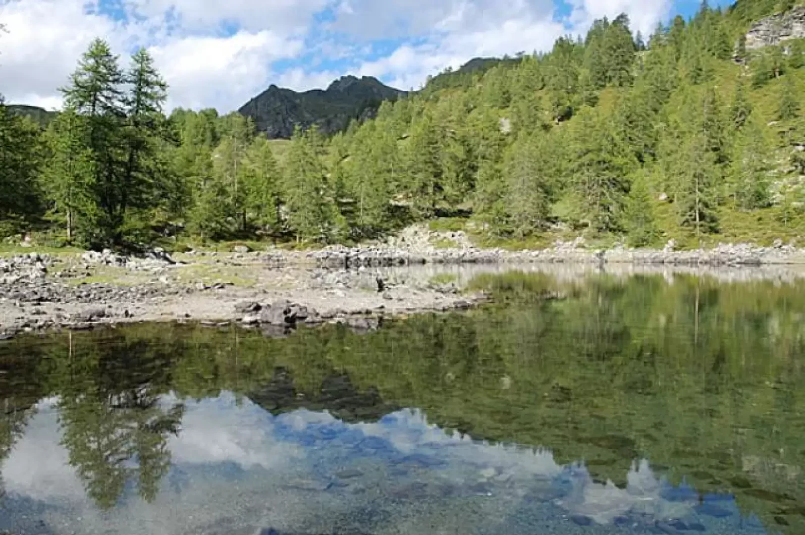
Lake Charey, from the Artaz car park
Lake Charey is located at the foot of Mont Tantané: a walk for the family.
T2
5.63 Km
428 m
Edited by:
Gian Mario Navillod
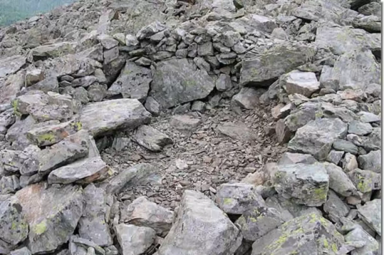
Salassi Village, from the Artaz car park
A wonderful excursion for families. For the most part, the route runs along dirt roads with little use for motor...
T2
0.00 Km
637 m
Edited by:
Gian Mario Navillod
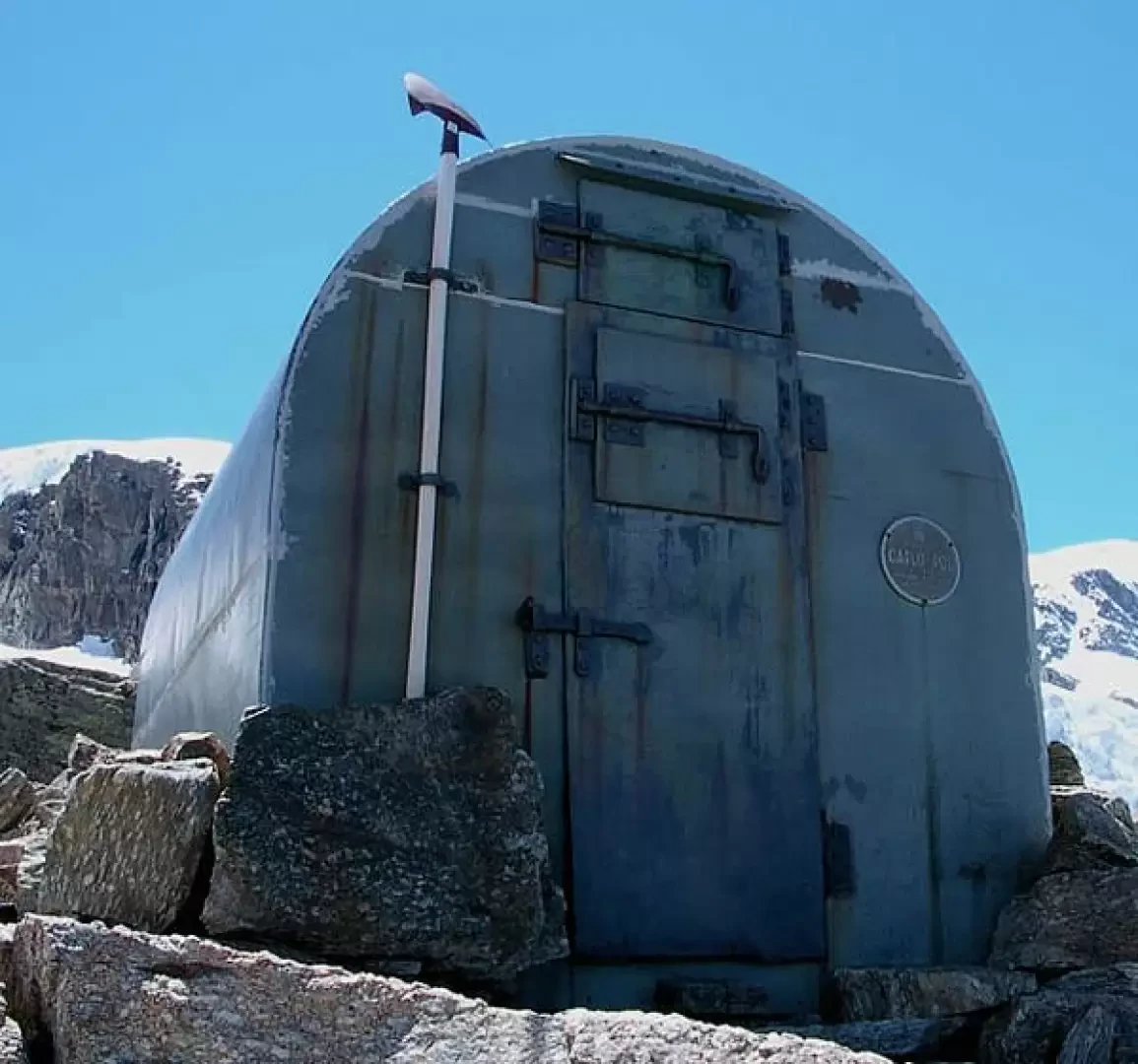
Pol-Grappein bivouac, from the Valnontey car park
The Pol bivouac is built in one of the most beautiful places in the entire Aosta Valley. It is located...
F+
9.19 Km
1517 m
Edited by:
Gian Mario Navillod
Miniera di Fiernaz
Alla scoperta della miniera di rame di Fiernaz - Petit Monde.
T2
0.00 Km
450 m
Edited by:
Gian Mario Navillod
Covalou Gallery, from Fiernaz
A short walk up a sunny slope to the entrance of the underground canal that feeds the Covalou hydroelectric power...
T2
0.00 Km
250 m
Bivacco Chentre-Bionaz, direttissima
04/08/2010
Mont Emilius
22/05/2010
Lago di Lod Antey
29/06/2001
Ru de Lies
28/02/2001
No results
No results