Nomaglio

Edited by:
Massimo Martini
Access
From Turin, take the Turin–Aosta motorway to the Quincinetto toll booth, then the towards Settimo Vittone, from where the leads up to Nomaglio; the main town is crossed by the . The municipality does not have a railway station: Ivrea station, on the Chivasso–Aosta line, is served by Trenitalia (TI). A bus service operated by GTT S.p.A. connects Nomaglio to Borgofranco d’Ivrea and Ivrea. The nearest airport with scheduled flights is Turin-Caselle “Sandro Pertini”, about an hour’s drive away.
Introduction
Nomaglio is a small mountain municipality in the Metropolitan City of Turin, in the Canavese region, on the orographic left bank of the Dora Baltea valley. The main town lies on a plateau halfway up the hillside, on the slopes of the Ivrea moraine and the Mombarone massif. The territory rises to 1,433 metres on the slopes of Monte Torretta and borders the municipalities of Andrate, Borgofranco d’Ivrea and Settimo Vittone. It overlooks the valley and features extensive chestnut groves, the cultivation of which remains a local economic resource.
Description
The area falls within the ISTAT altitudinal zone of the inland mountains. The Ivrea moraine is a glacial formation: in the Nomaglio area, the passage of the Balteo glacier left behind glacial potholes.
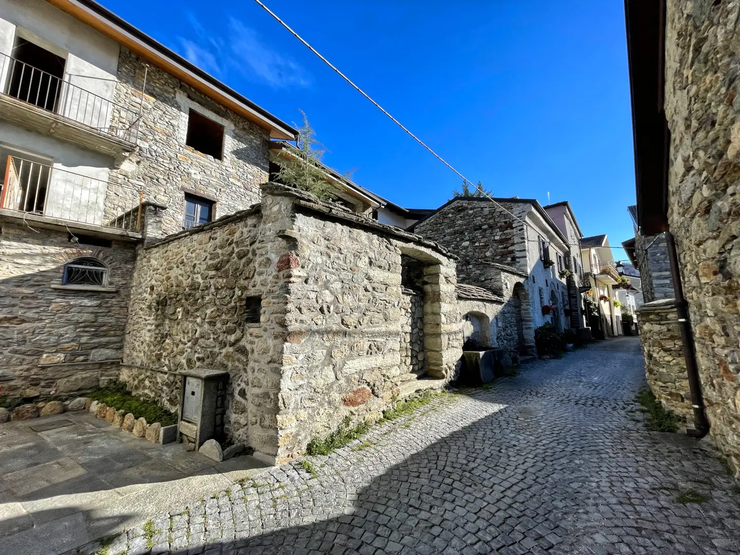
Nomaglio was the seat of the lords of Settimo Vittone, feudal lords of neighbouring localities. One branch of the family, the Giampietro family, held the fiefdoms of Montestrutto, Quincinetto, Tavagnasco and Nomaglio, and died out in the 18th century with the Mola family of Beinasco. In the past, lime was quarried in the area, some of which was used in the construction of the sanctuary at Graglia. An engraved boulder and archaeological finds, including Celtic knife handles and fragments of a monolith, suggest that the area was inhabited as early as protohistoric times and linked to the trade routes between the plain and the Alpine valleys. The parish church of San Bartolomeo dates back to the 17th century; the village centre still features stone fountains and wash houses.
Nomaglio is an agricultural village: the local economy is based on chestnut cultivation and small-scale farming. The Chestnut Ecomuseum is housed in a water-powered mill that is still in operation, used for grinding chestnuts, and is part of the AMI Museum Network of the Ivrea Morainic Amphitheatre. A signposted outdoor trail leads from the village square up to the chestnut groves, where there are centuries-old chestnut trees, small huts known as ‘benne’ where the leaves were collected, piles for disposing of empty husks, and open-air drying areas. Chestnut flour is used to make canestrelli and chestnut-filled chocolates known as “Nomajòt”.
The chestnut groves, consisting of chestnut trees (Castanea sativa), are home to centuries-old specimens. The area is criss-crossed by hiking trails between the Ivrea moraine and the Mombarone massif, which wind through woods and along ancient mule tracks, leading to vantage points overlooking the Dora Baltea.
Information
General information
Area: 3.07 km²
Altitude of the main town: 575 m
Highest point: 1,433 m – on the slopes of Monte La Torretta
Population: 271 (as at 31 May 2026)
Name in dialect: Nomaj in Piedmontese
Name of inhabitants: nomagliesi
Patron saint: Saint Bartholomew, celebrated on 24 August
Neighbouring municipalities: Andrate – Borgofranco d'Ivrea – Settimo Vittone
Province: Metropolitan City of Turin
Region: Piedmont
Country: Italy
Official website: comune.nomaglio.to.it