Quart

Edited by:
redazione
Access
The municipality can be reached via the motorway, taking the Aosta Est exit and continuing along the towards Villefranche, the municipal capital. The nearest railway station is Aosta. Bus services from Aosta include the Aosta–Fénis and Aosta–Villefranche routes, operated by SAVDA, and the Grand Brissogne–Villair route, operated by SVAP. The nearest international airport is Turin Caselle.
Introduction
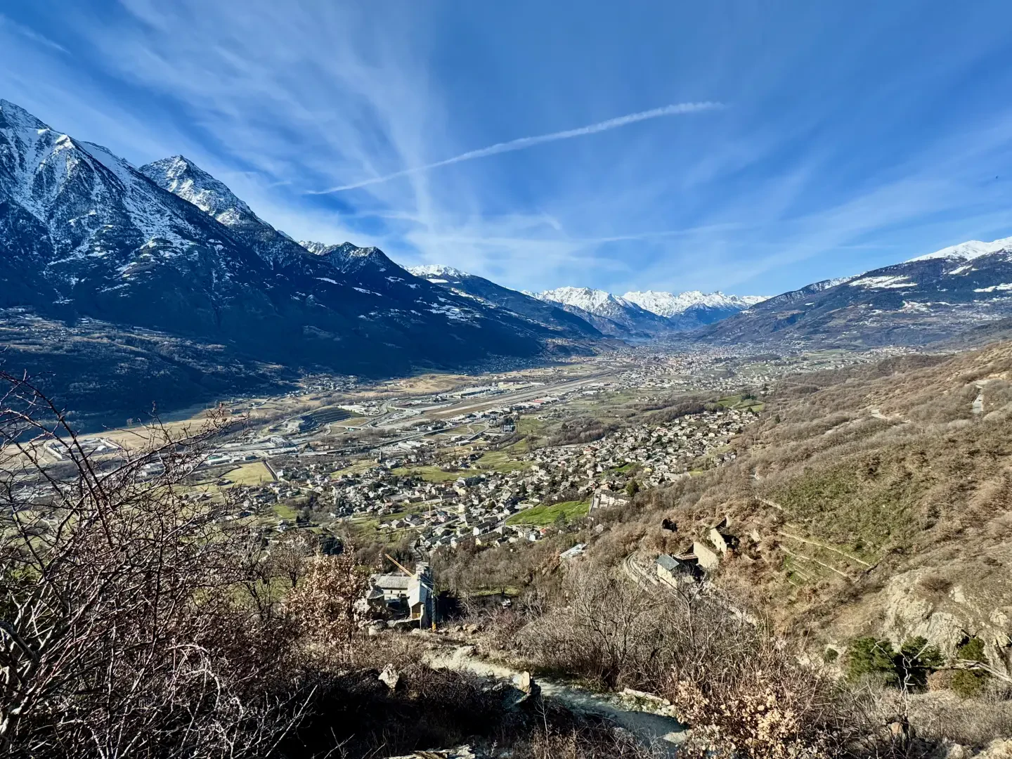
Quart is a municipality in the Aosta Valley, in the middle of the valley to the east of Aosta; its main town is Villefranche. The territory stretches from the valley floor of the Dora Baltea to the 3,205 m summit of Mont Pisonnet, with the hamlets scattered between the plain and the mountain slopes. It borders Saint-Christophe, Pollein, Brissogne, Saint-Marcel, Nus, Oyace and Valpelline. The name derives from the Latin quartus and refers to its distance of four Roman miles from Augusta Praetoria, now known as Aosta. In the Middle Ages, Quart was the centre of the lordship of the Lords of Quart, whose domain also included the Valpelline.
Description
The land faces south, on the ‘adret’ slope, and the climate allows vines to be grown on terraces, alongside woods and meadows. The hilly area is criss-crossed by the rus, irrigation channels dug over the centuries to bring water to the crops. In the valley floor, along the Dora Baltea, lies part of the Les Îles nature reserve, established in 1995 and shared with Brissogne, Nus and Saint-Marcel, which comprises two quarry lakes and a stretch of riparian vegetation. In the locality of Amérique, also in the valley floor, there is a commercial and industrial area.
On Vollein Hill, the remains of a Neolithic settlement have been discovered, including a necropolis of over sixty graves dating back to the 3rd millennium BC. In Roman times, the Via delle Gallie ran through the area. In 1185, Jacques de la Porte de Saint-Ours, the founder of the Lords of Quart, had the oldest part of Quart Castle built. On the death of the family’s last heir in 1378, the castle passed to the House of Savoy, who held it until 1550. The complex is currently undergoing restoration.
The local economy has been based on agriculture and sheep farming, with viticulture being a major crop. According to one theory regarding the origin of the name, ‘Fontina’ derives from ‘Fontin’, a mountain pasture in Quart. The proximity to Aosta has transformed some hamlets into residential areas.
The carnival in the hamlet of Villair, known as the Quart-Naval, features a costume parade and the serving of a traditional soup. Villair is also home to the Carmelite monastery of Mater Misericordiæ, which was inaugurated in 1989. The parish church is dedicated to Saint Eusebius, and the oratory of Blessed Emerico is named after the 14th-century Bishop of Aosta.
The footpaths along the rus wind through vineyards and woods. High-altitude destinations include the Croce di Fana (2,213 m), the Grand Pays (2,723 m), the Tsaat a l’Etsena (2,971 m) and Mont Faroma (3,070 m). In winter, the area is explored on snowshoes and for ski mountaineering.
Information
General information
Area: 62.05 km²
Altitude of the main town: 535 m
Highest point: 3,205 m - Mont Pisonnet
Population: 4,127 (as at 1 January 2024)
Name in dialect: Car
Name of inhabitants: quarteins
Patron saint: SaintEusebio, celebrated on 2 August
Neighbouring municipalities: Brissogne - Nus - Oyace - Pollein - Saint-Christophe - Saint-Marcel - Valpelline
Region: Aosta Valley
Country: Italy
Official website: Aosta Valley
Country: Italy
Official website: Aosta Valley
Country: Italy
Official website: Aosta Valley
Country: Italy
Official website: Aosta Valley
Country: Italy
Official website:Aosta
Country: Italy
Official website: municipality.quart.ao.it