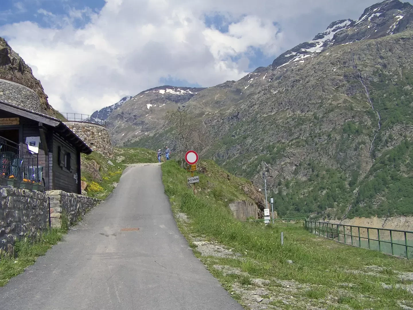
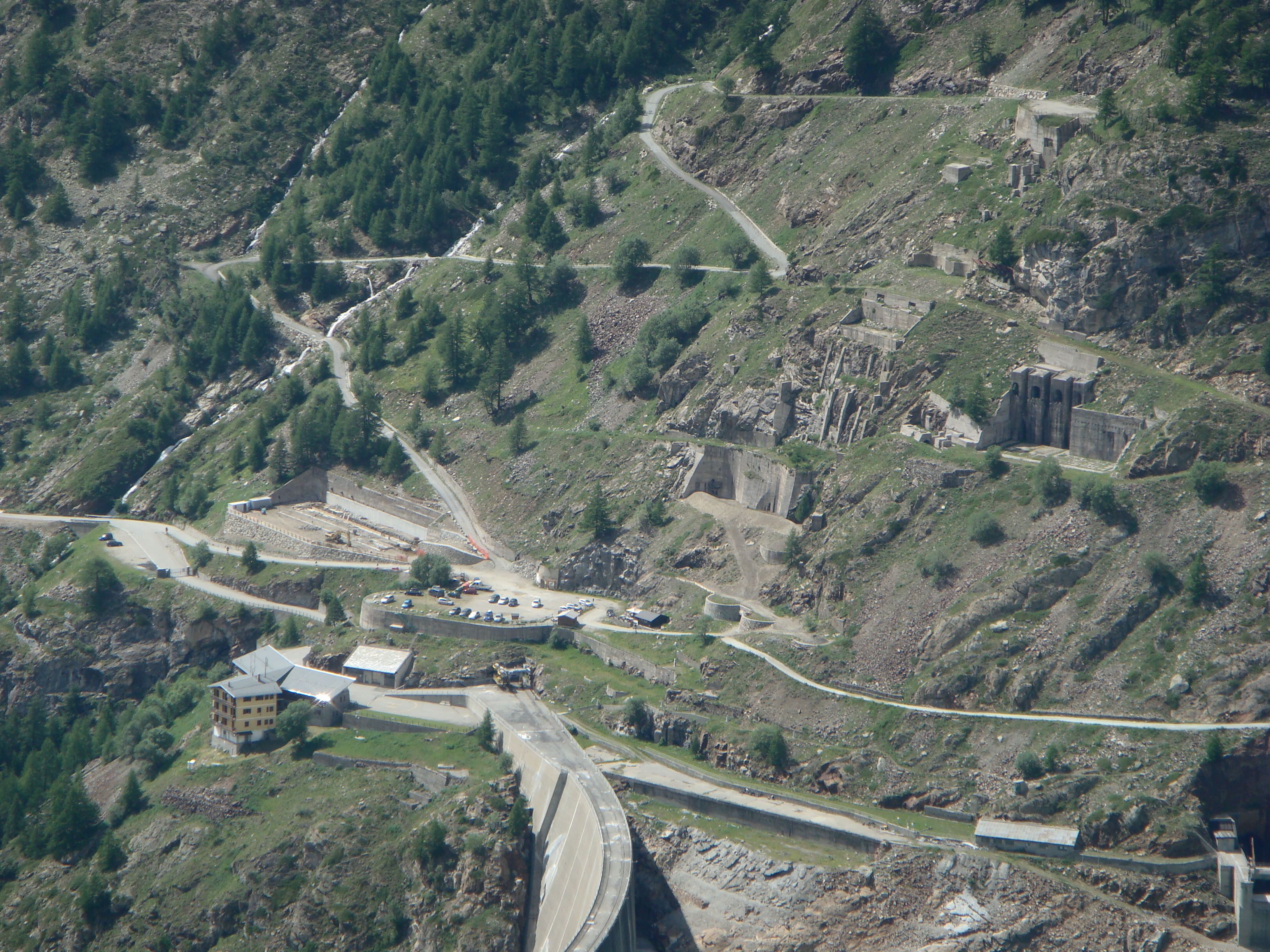
Leaving the motorway at the Aosta Est barrier, turn right and take the dual carriageway to follow for 8.4 kilometres. At Signayes, turn right onto the regional road following the signs for Bionaz/Laravoire. Pass a roundabout and continue on the regional road along the entire length of Valpelline. Drive through the villages of Valpelline, Oyace and Bionaz and, after about 27 kilometres, you will reach the car parks near the Place Moulin dam. From 1 May to 31 October, parking is chargeable (1€ per hour - 9€ all day). Non-paying car parks can be found around 600m before the dam.
[0h52'] - [37.1km] How to get there with GMaps How to get there with Apple Maps
The information provided here has been verified as of the date of the route survey. Before setting off, it is advisable to ensure that no substantial changes have occurred on the route to the starting point. We therefore recommend the use of the satellite navigation apps provided by Google or Apple for up-to-date and detailed directions.
Introduction
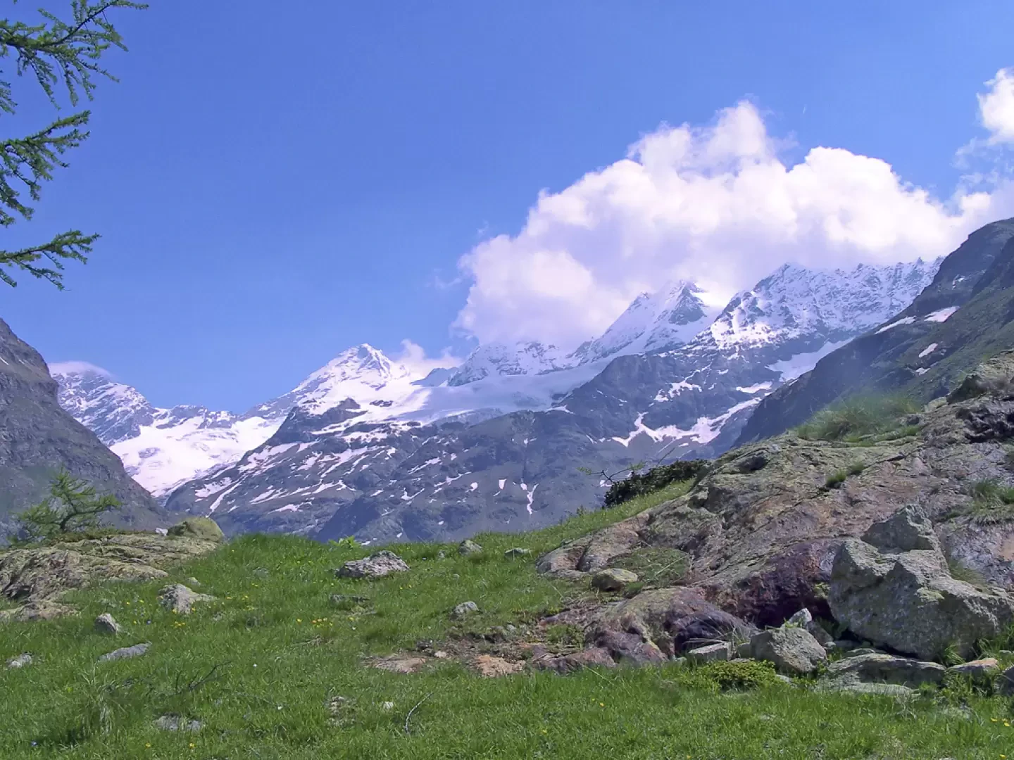
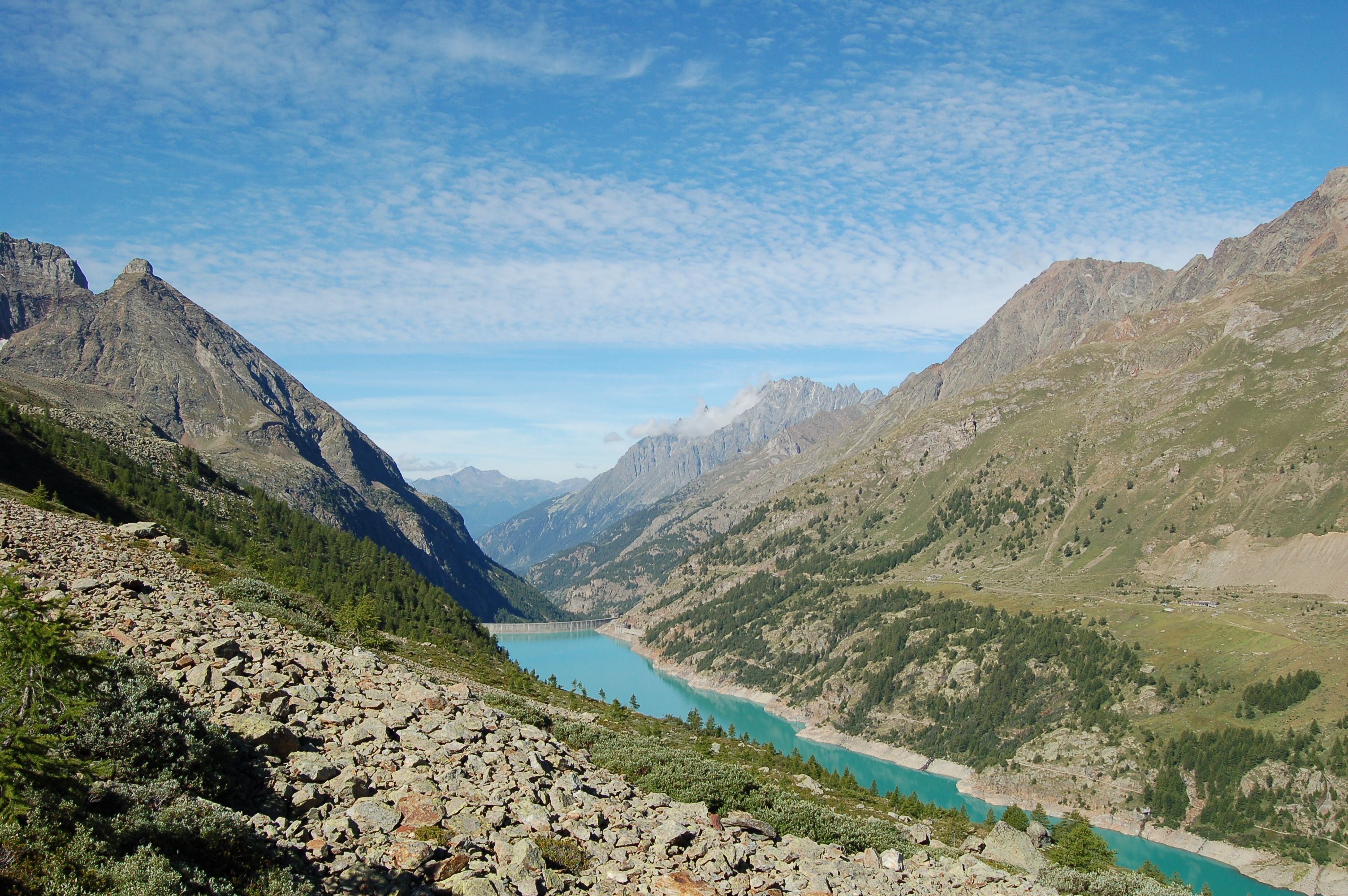
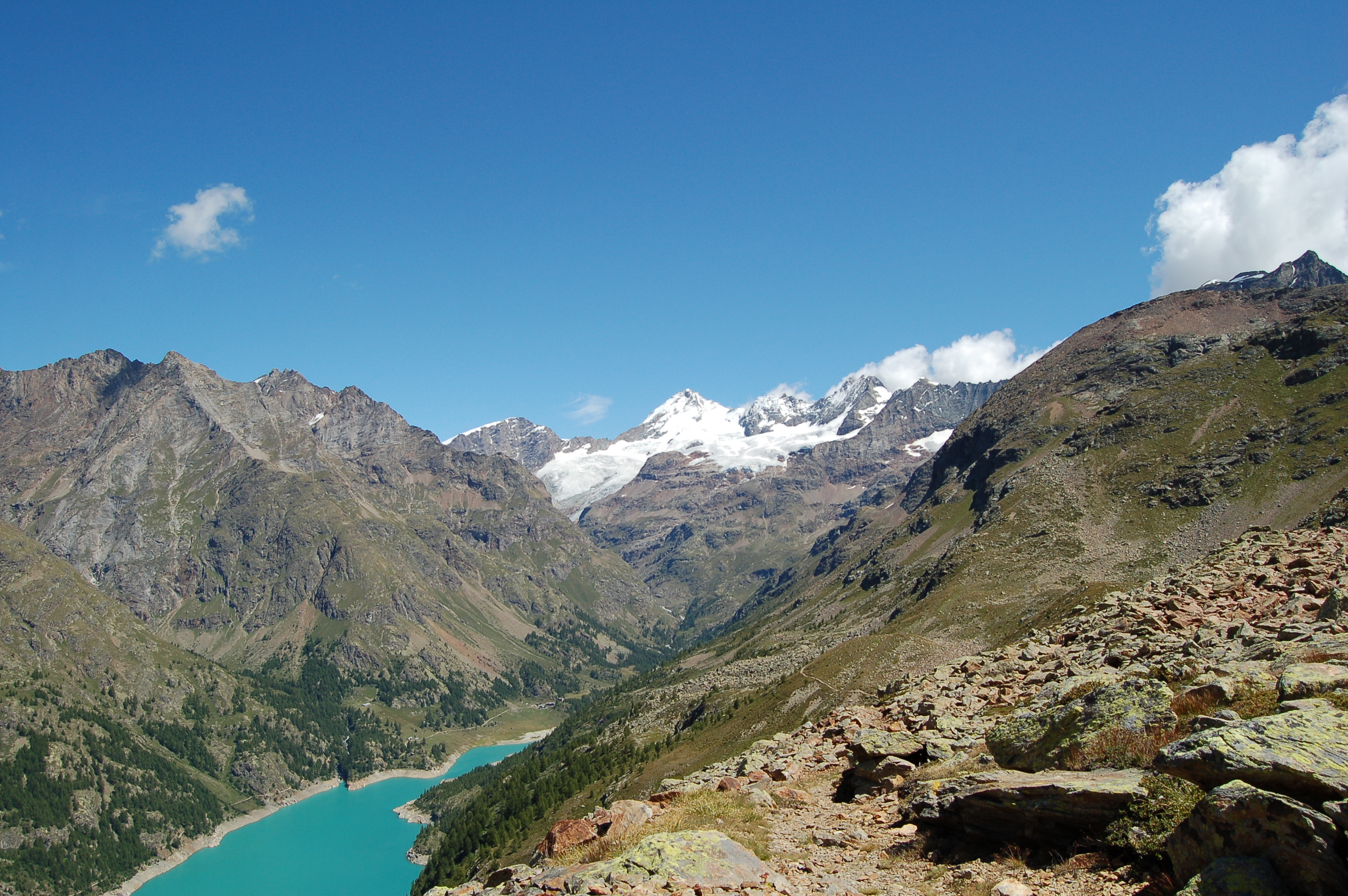
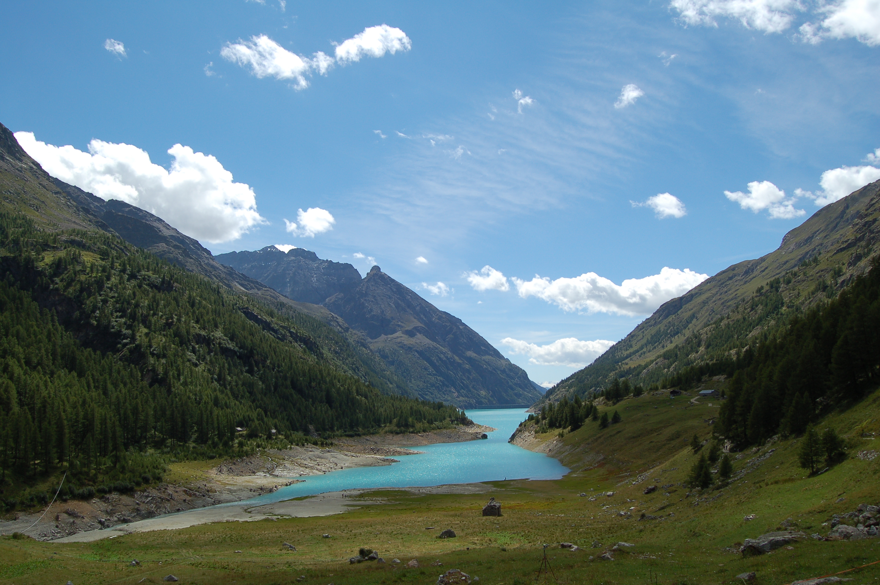
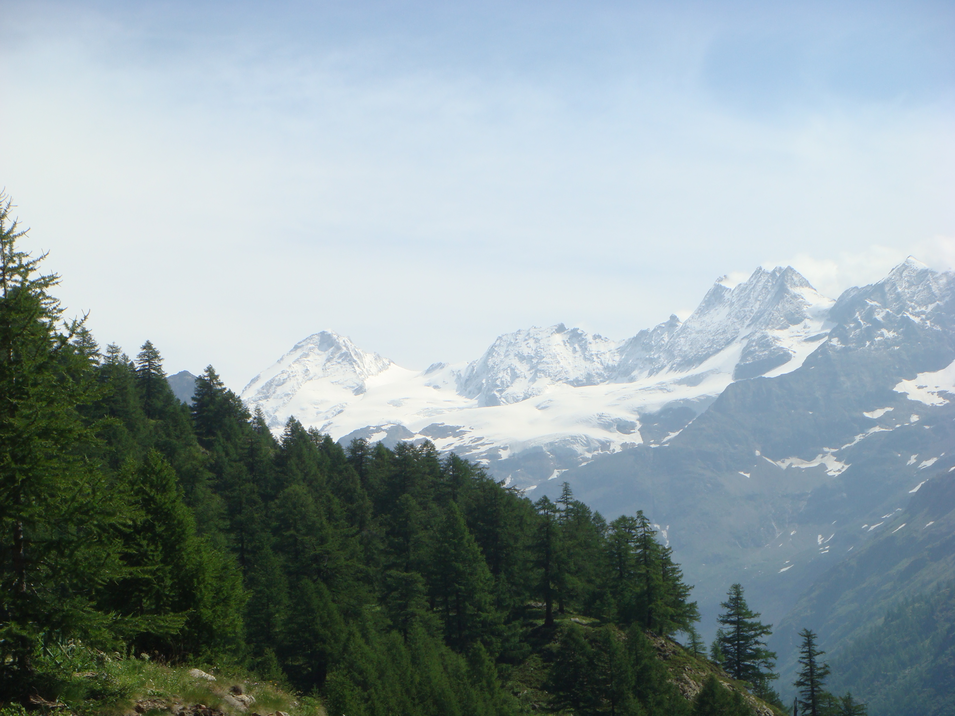
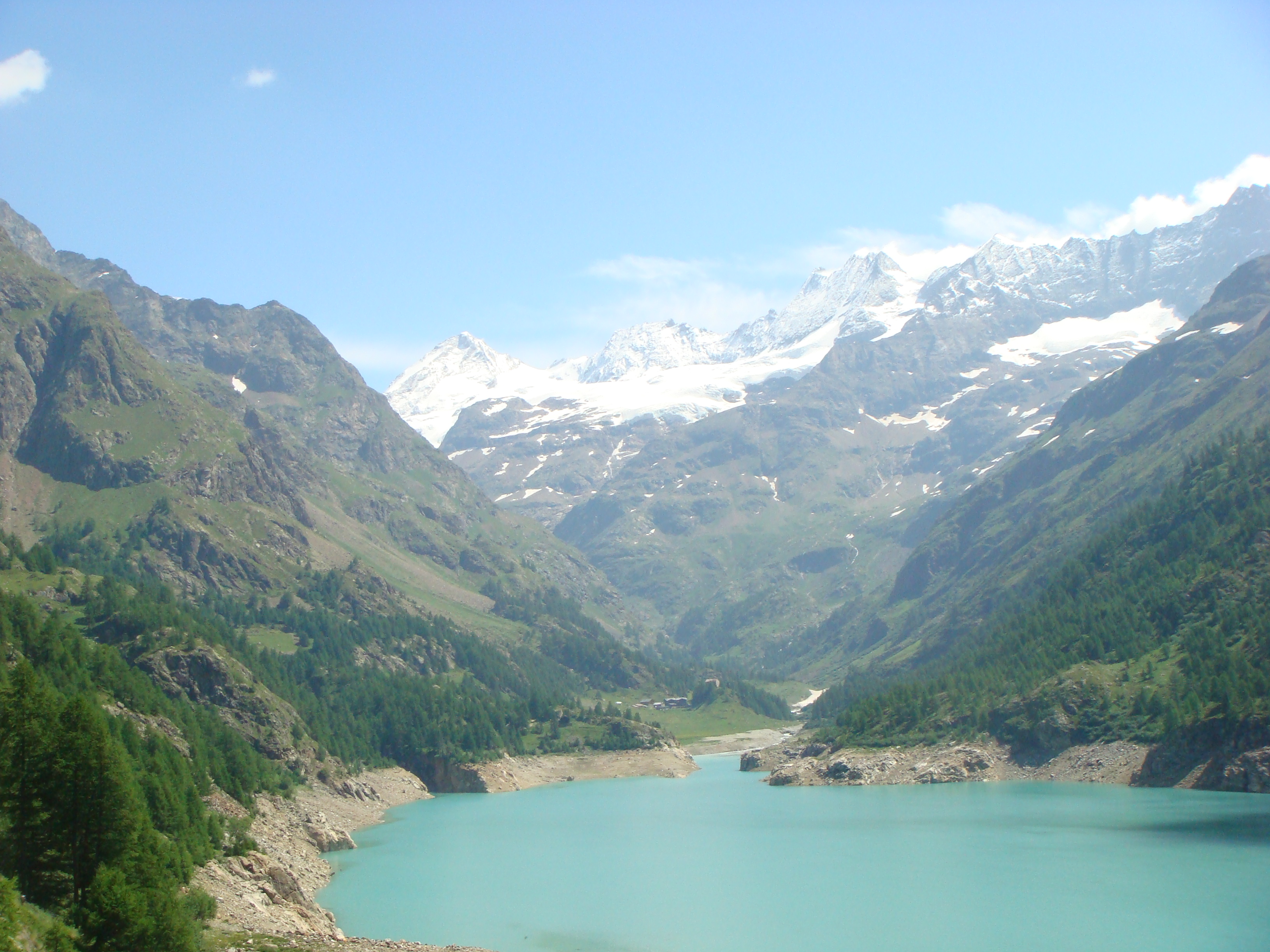
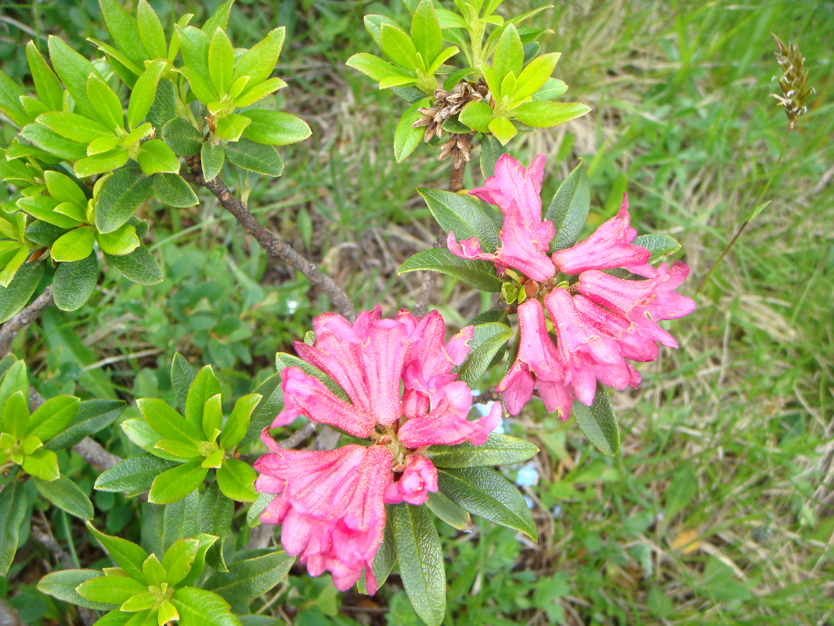
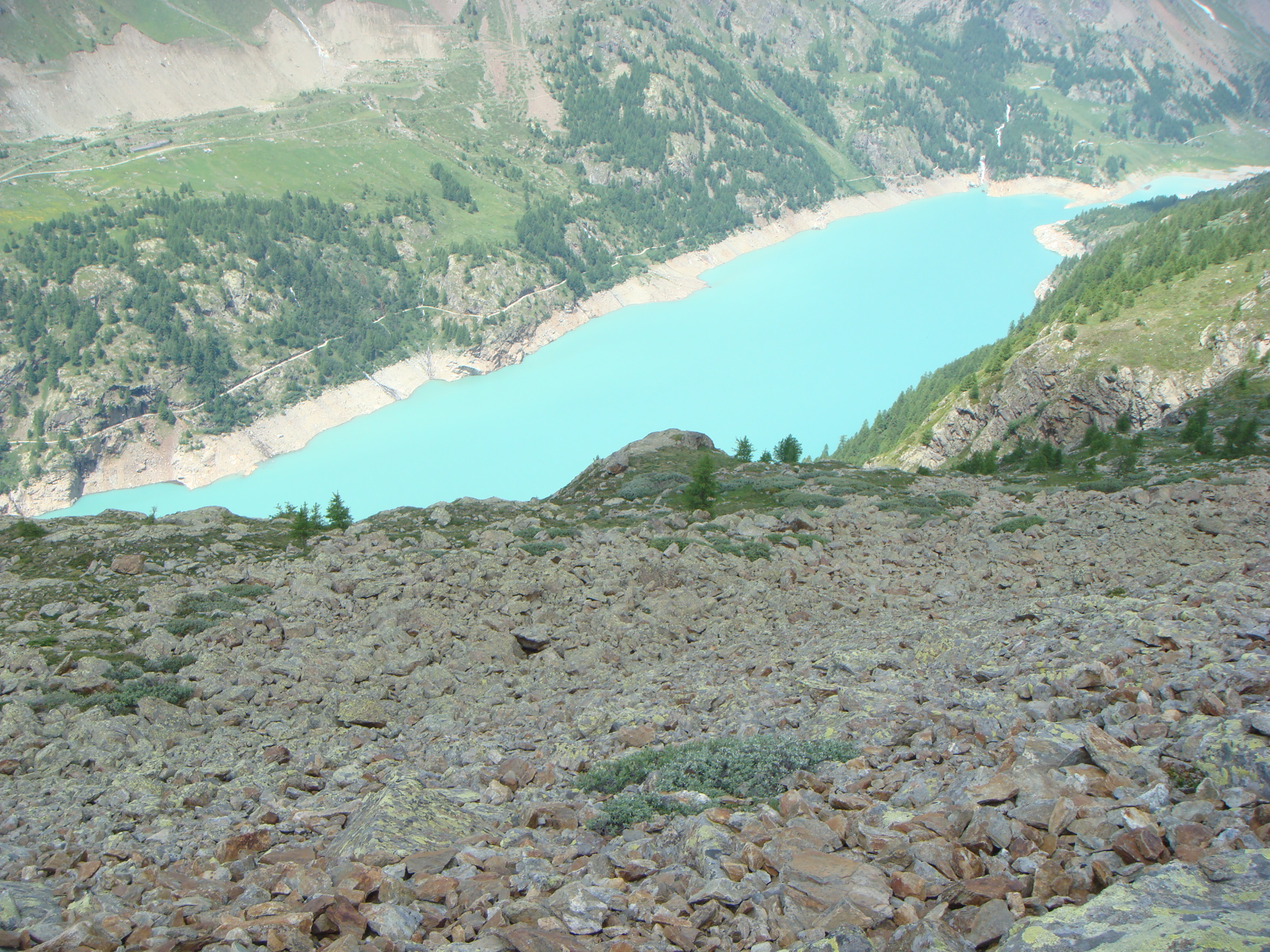
This hike, which almost completely circumnavigates the large artificial lake of Place Moulin, is divided into two distinct parts: the first, which is rather monotonous, runs along the left, orographic right bank of the lake, devoid of vegetation, while the second, which runs along the other side at a higher altitude, crosses beautiful larch forests and, higher up, mid-mountain terrain with scree and sparse vegetation. During the second part, being little frequented, it is easy to come across typical alpine fauna (marmots, ibexes, etc.).
Description
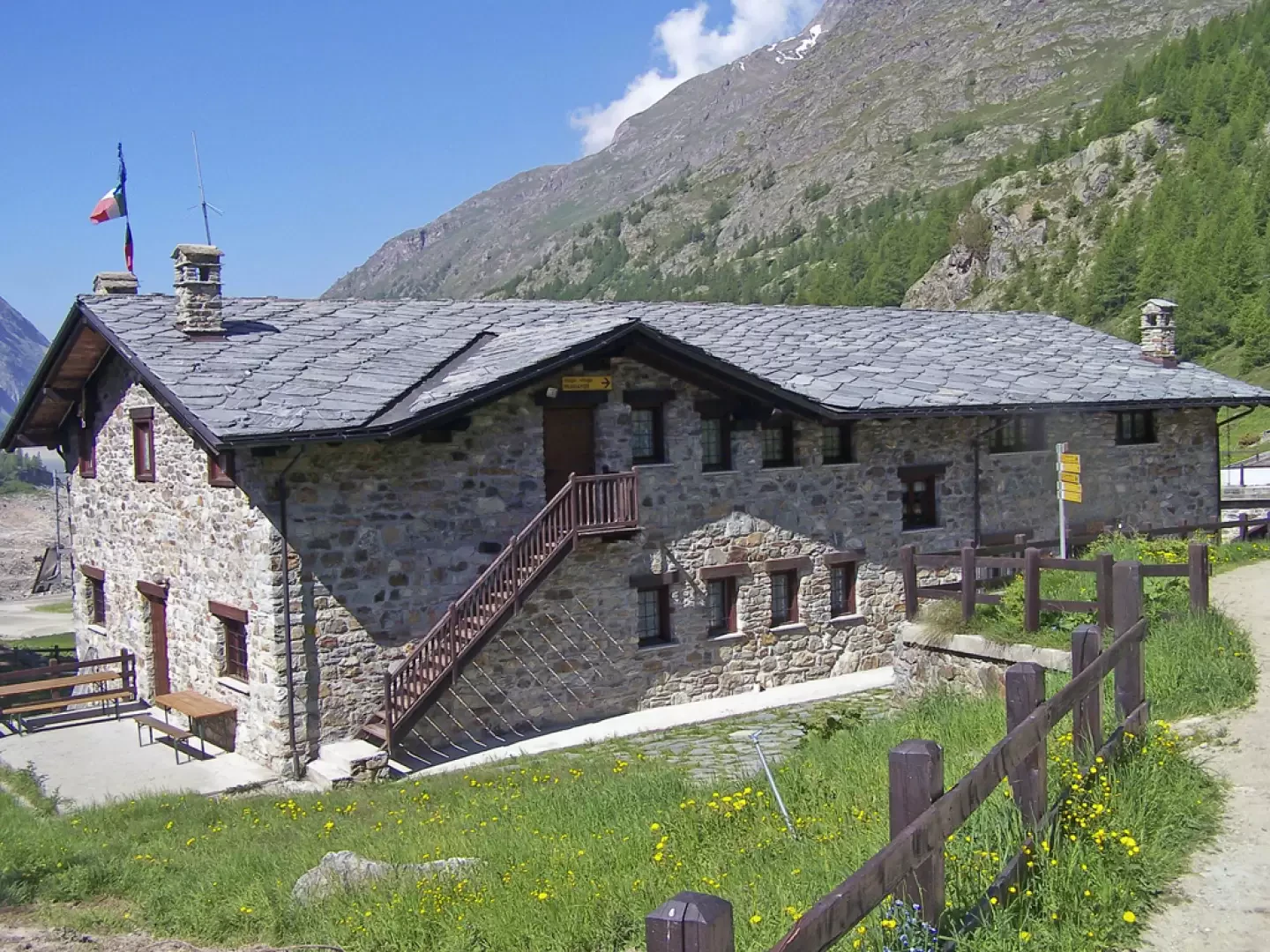
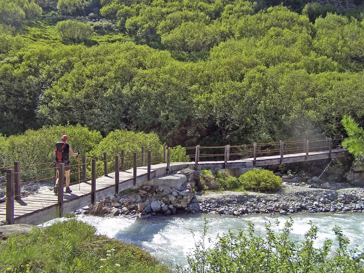
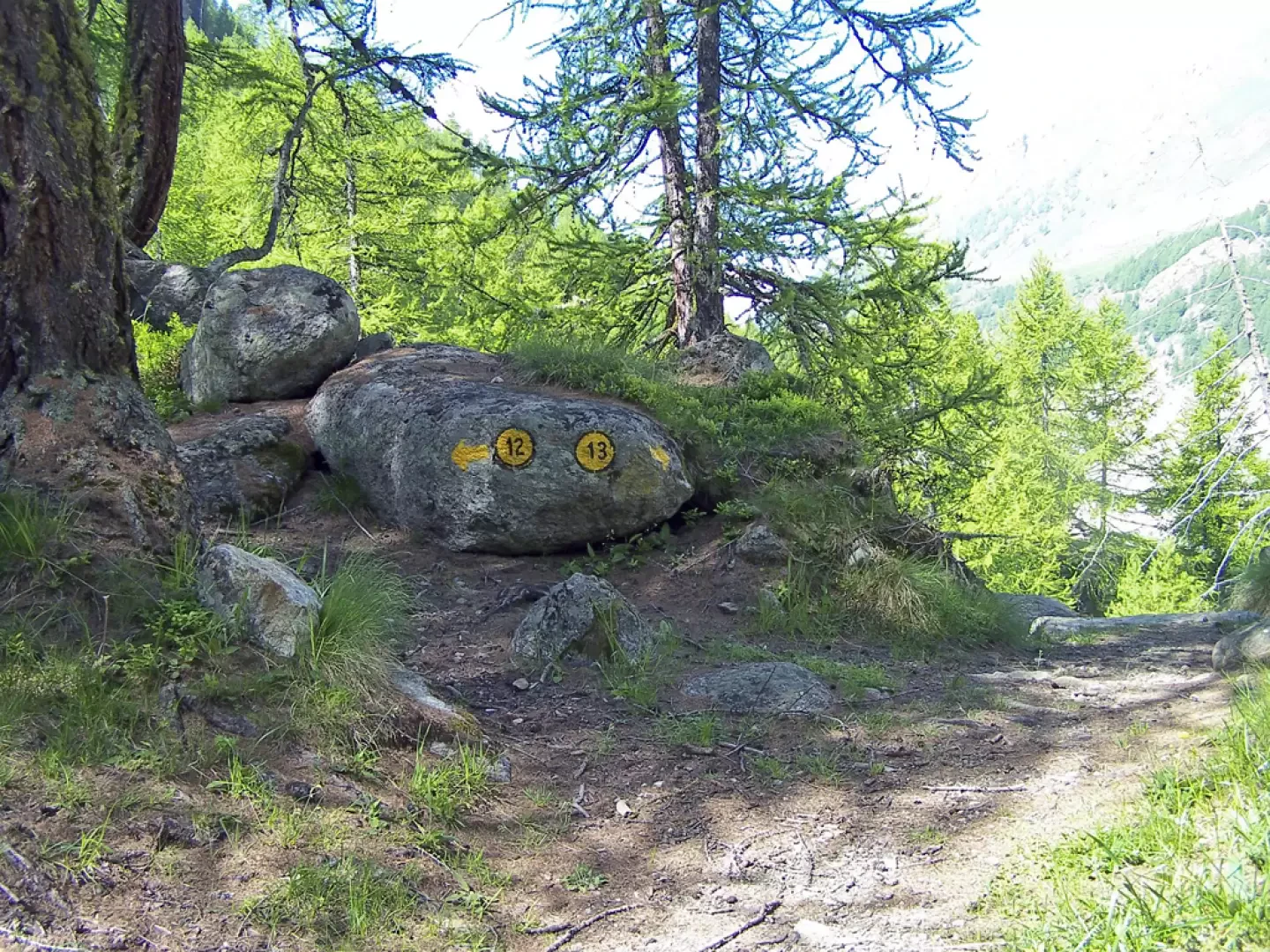
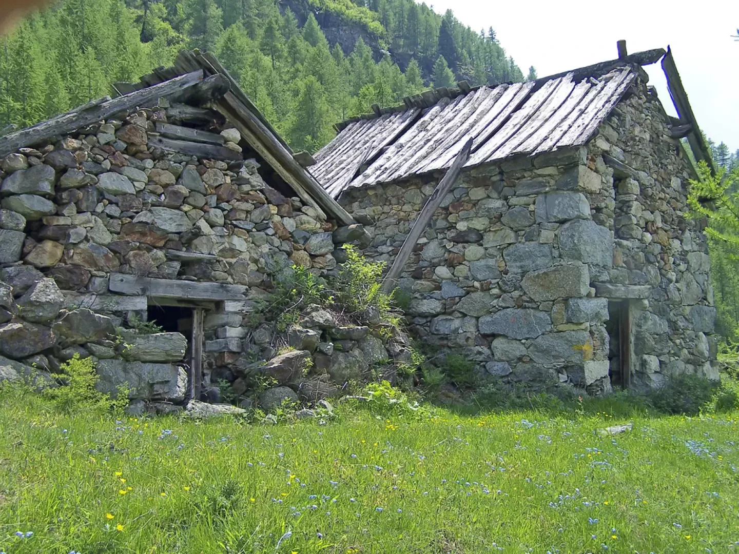
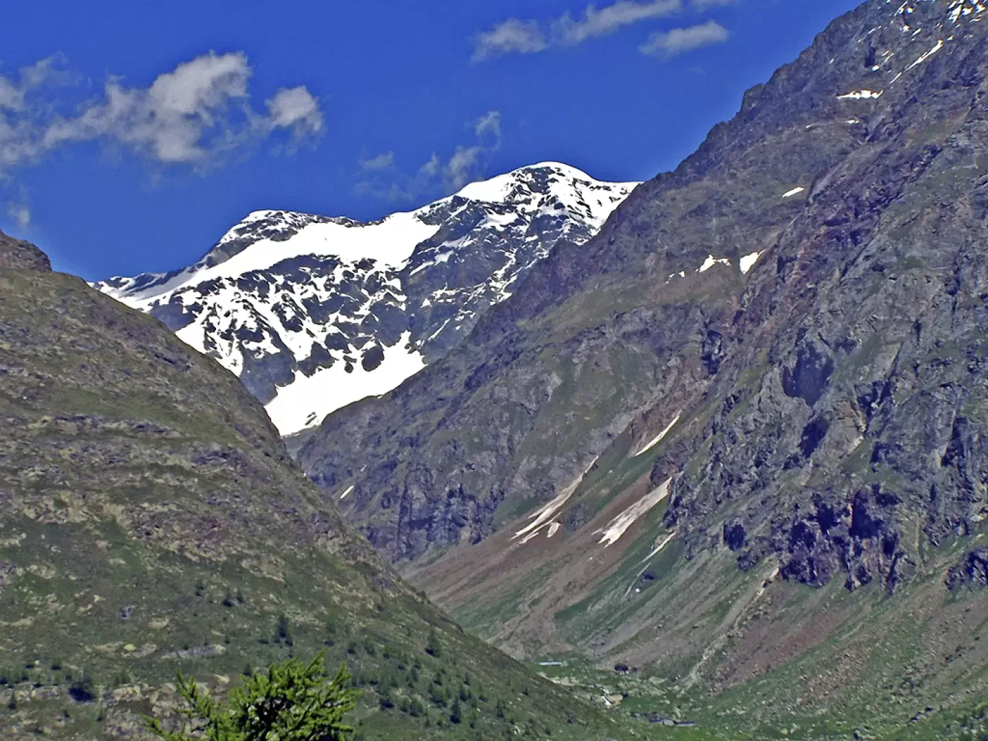
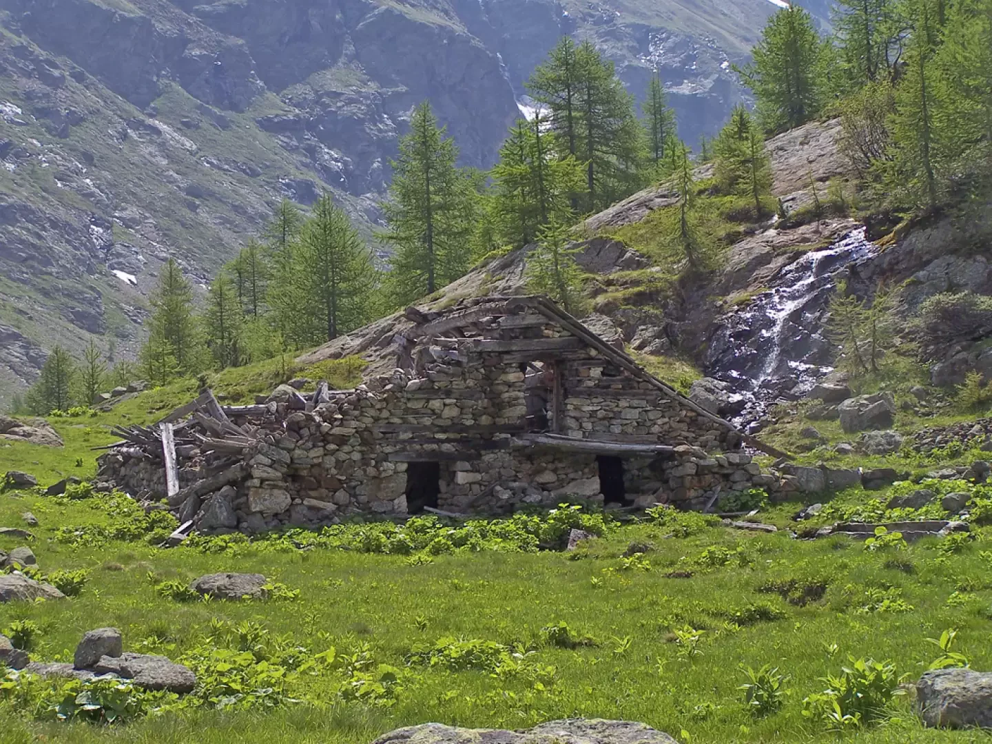
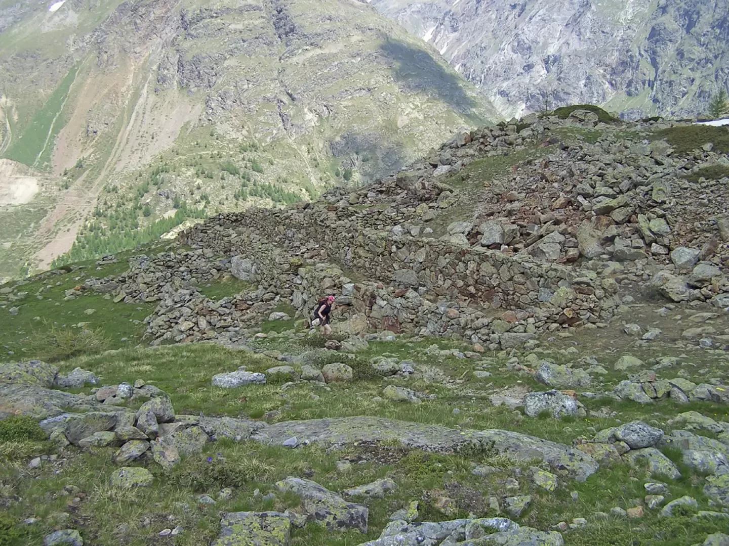
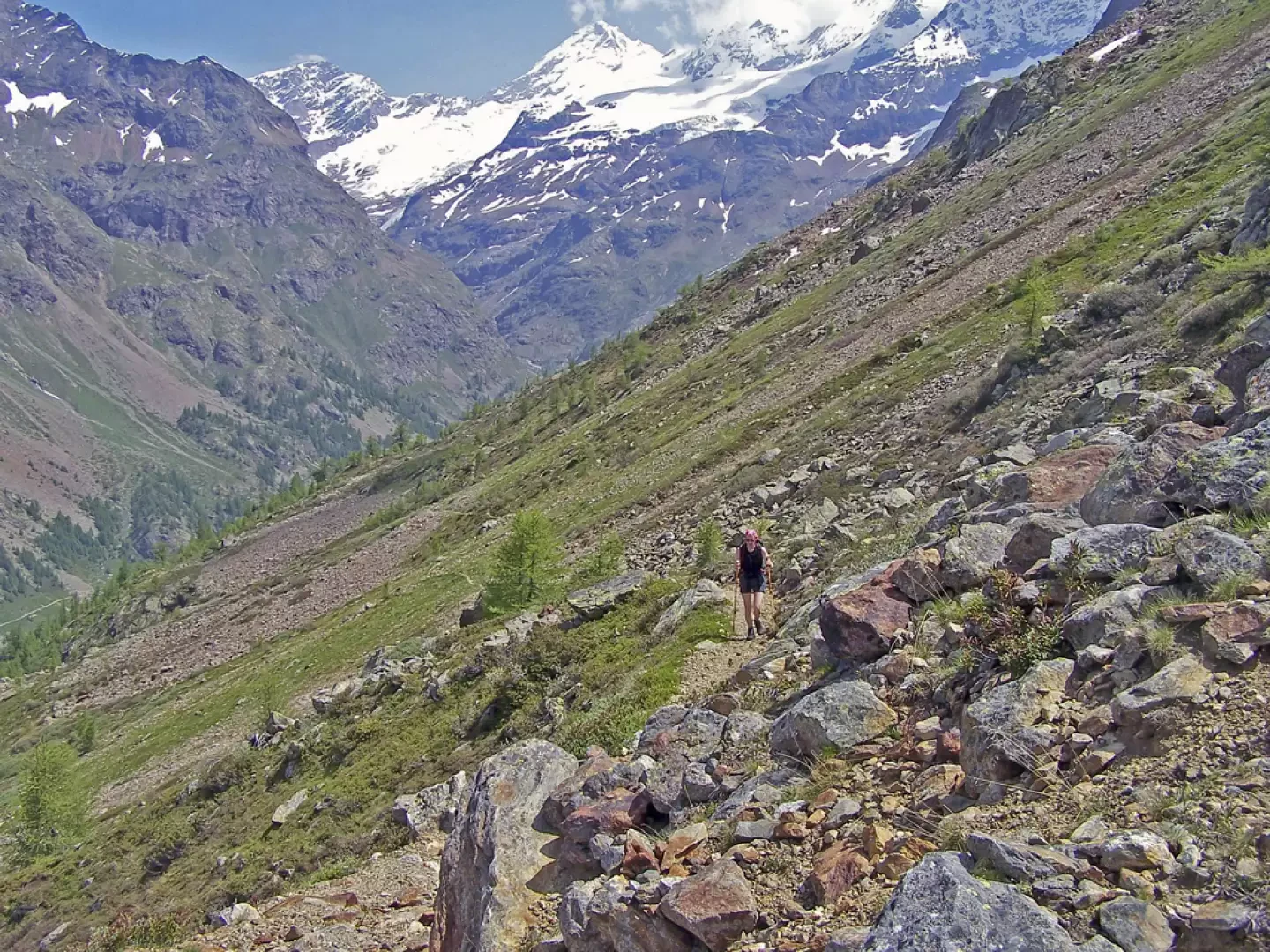
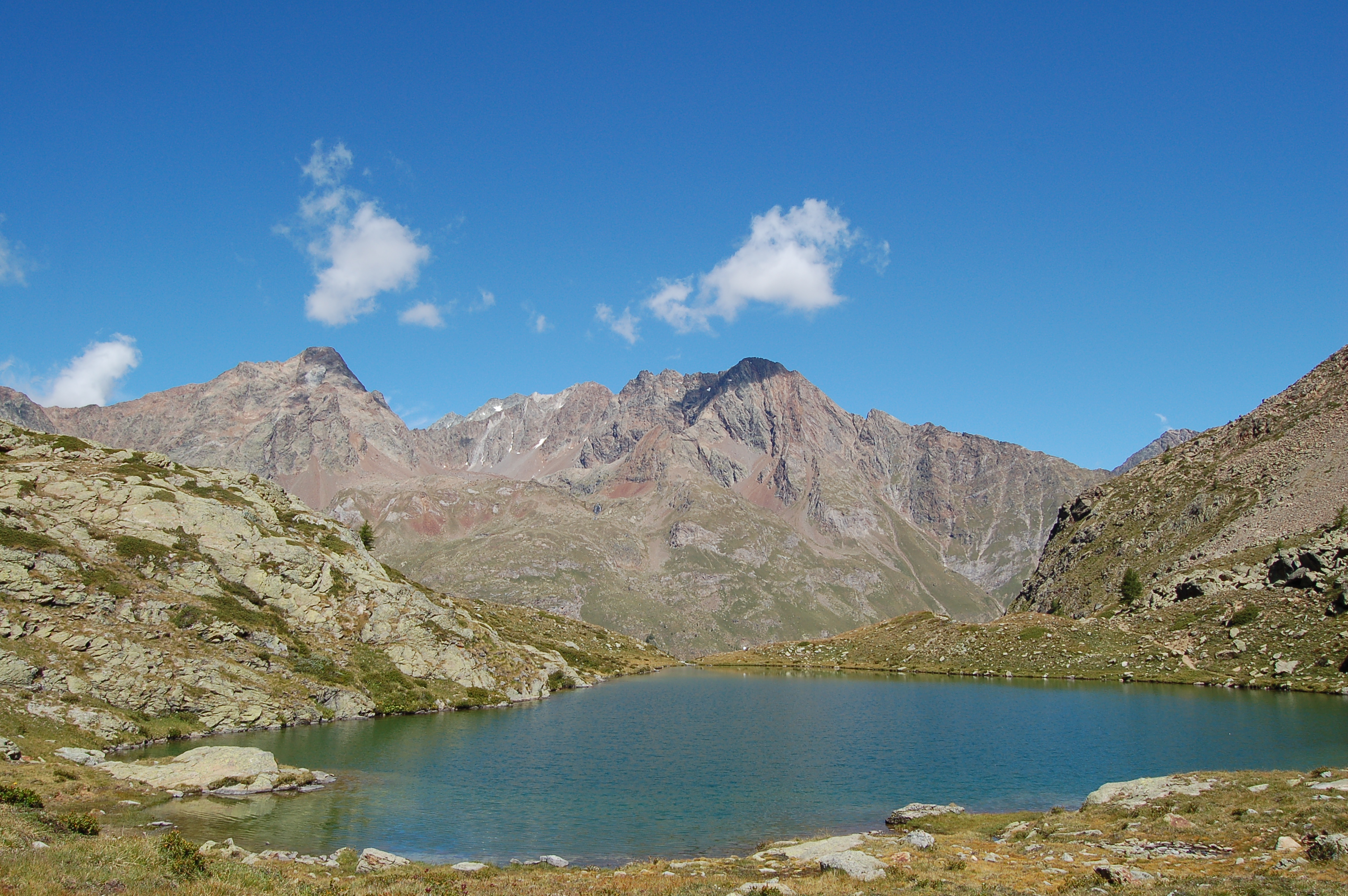
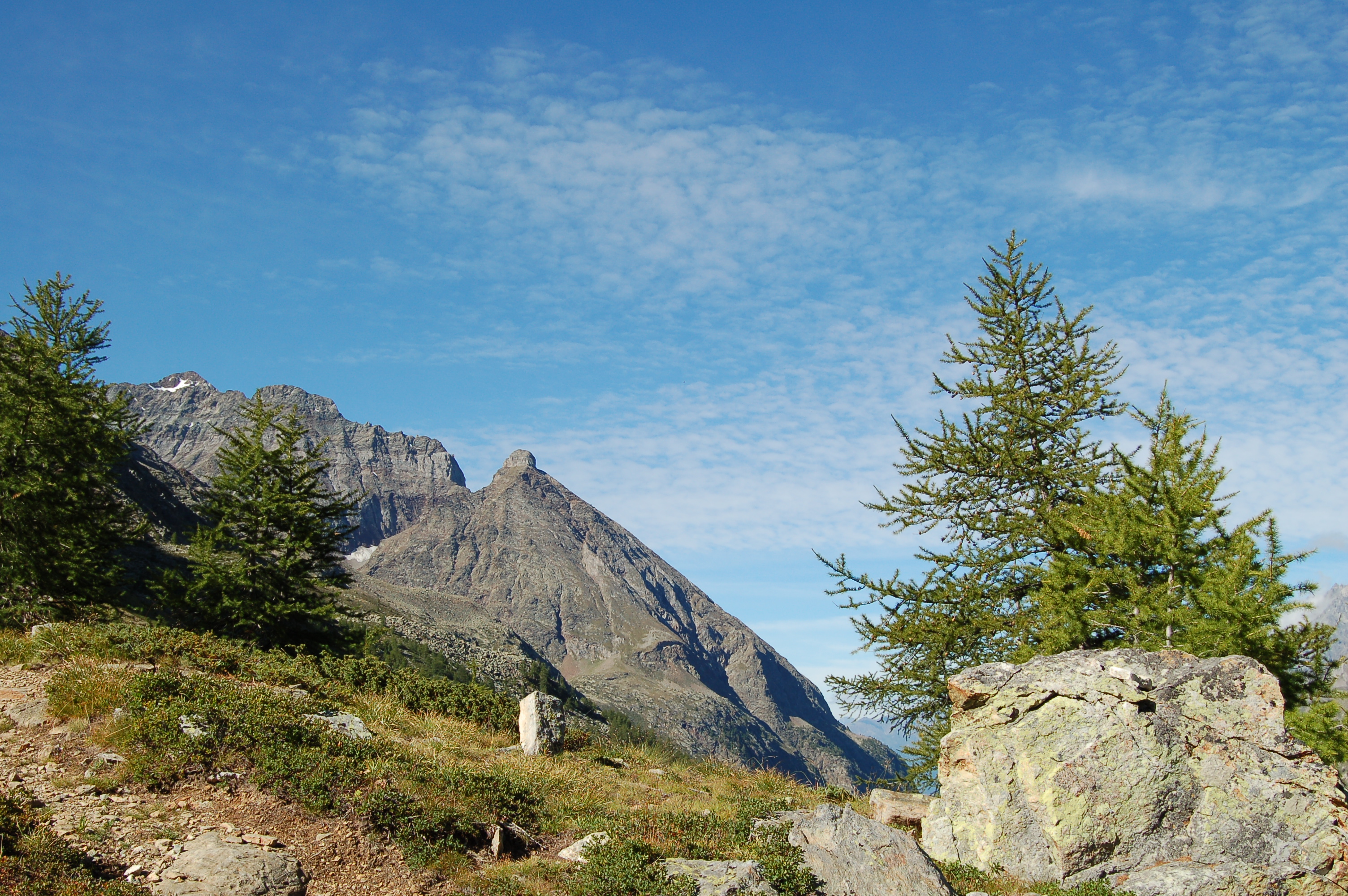
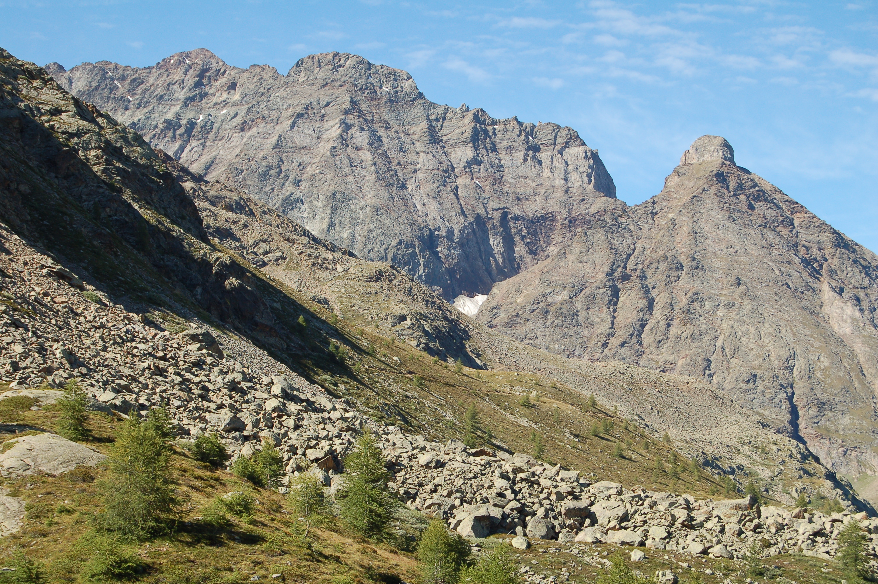
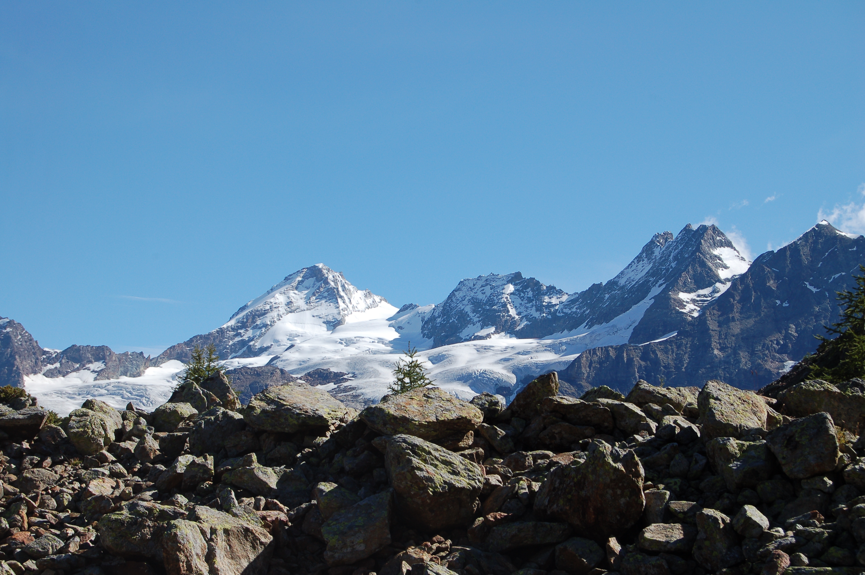
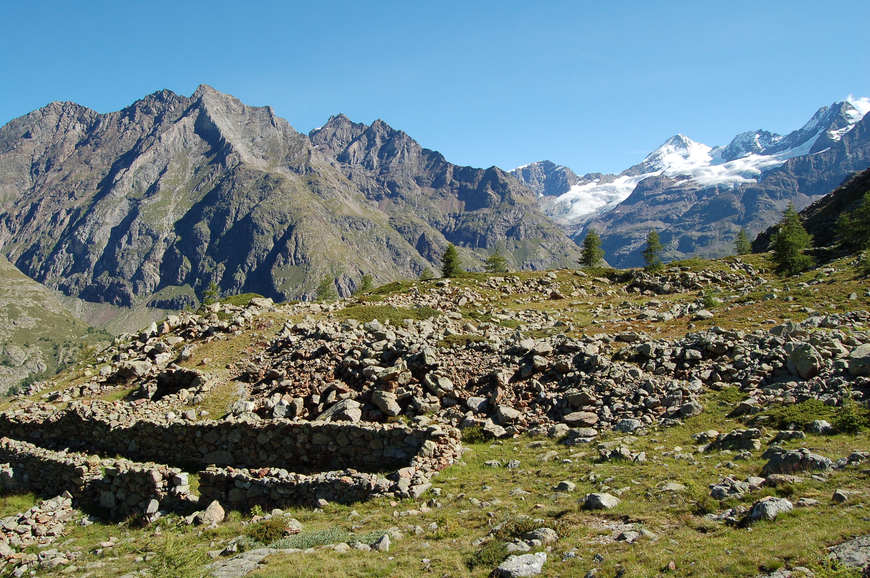
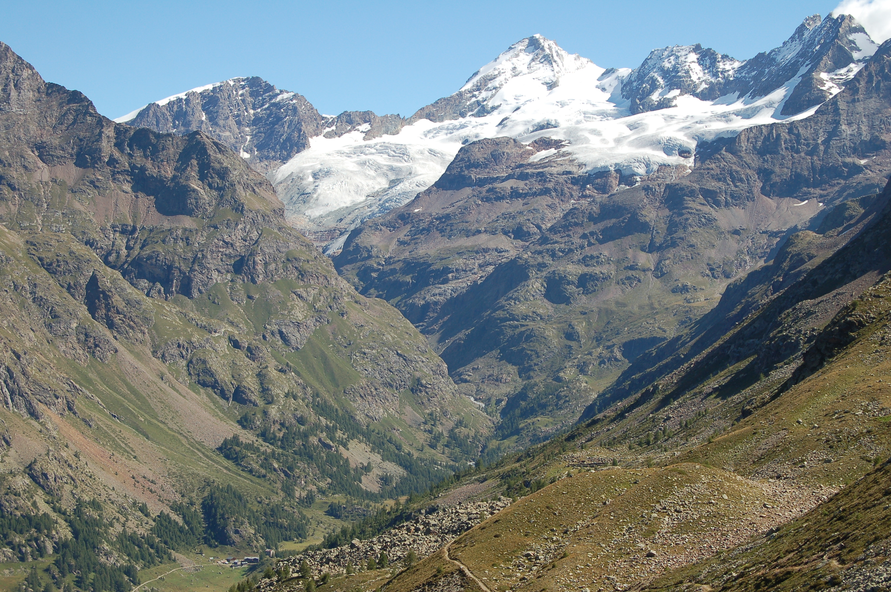
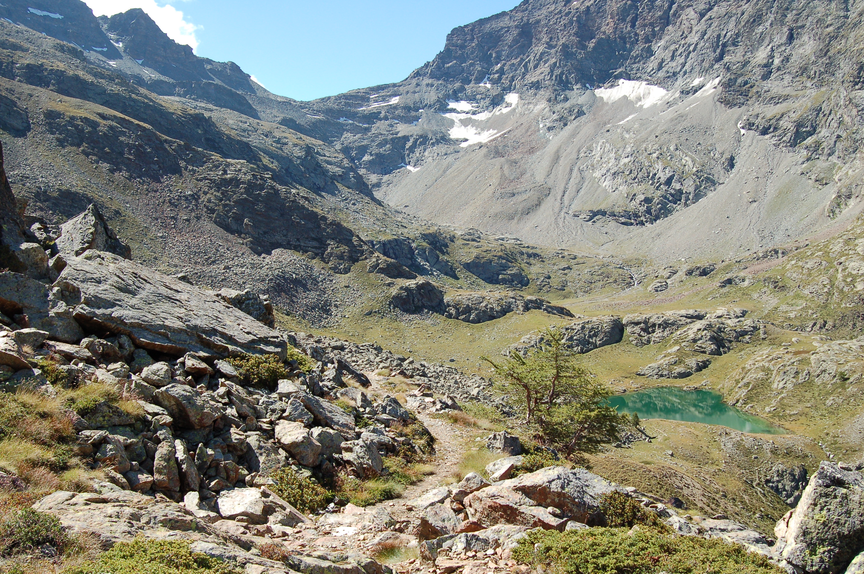
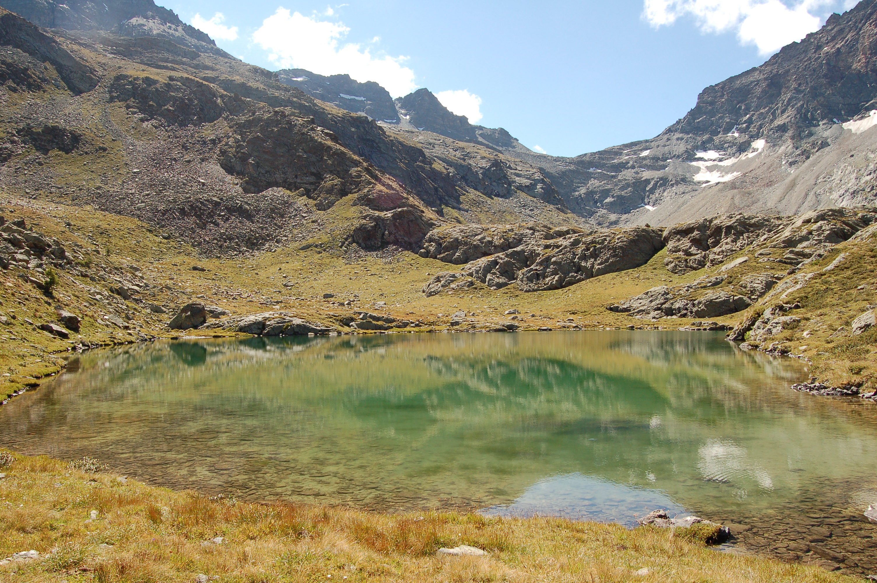
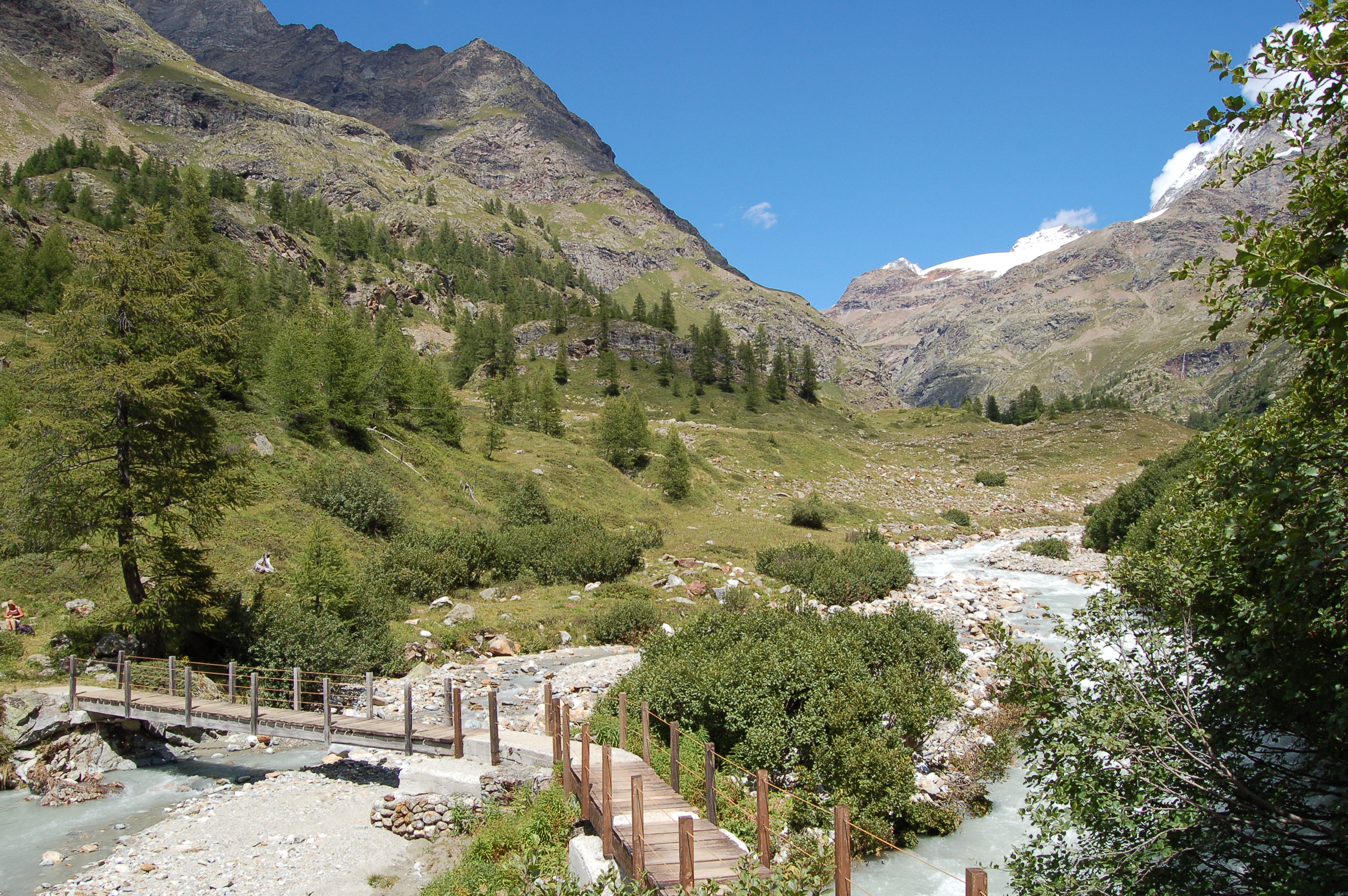
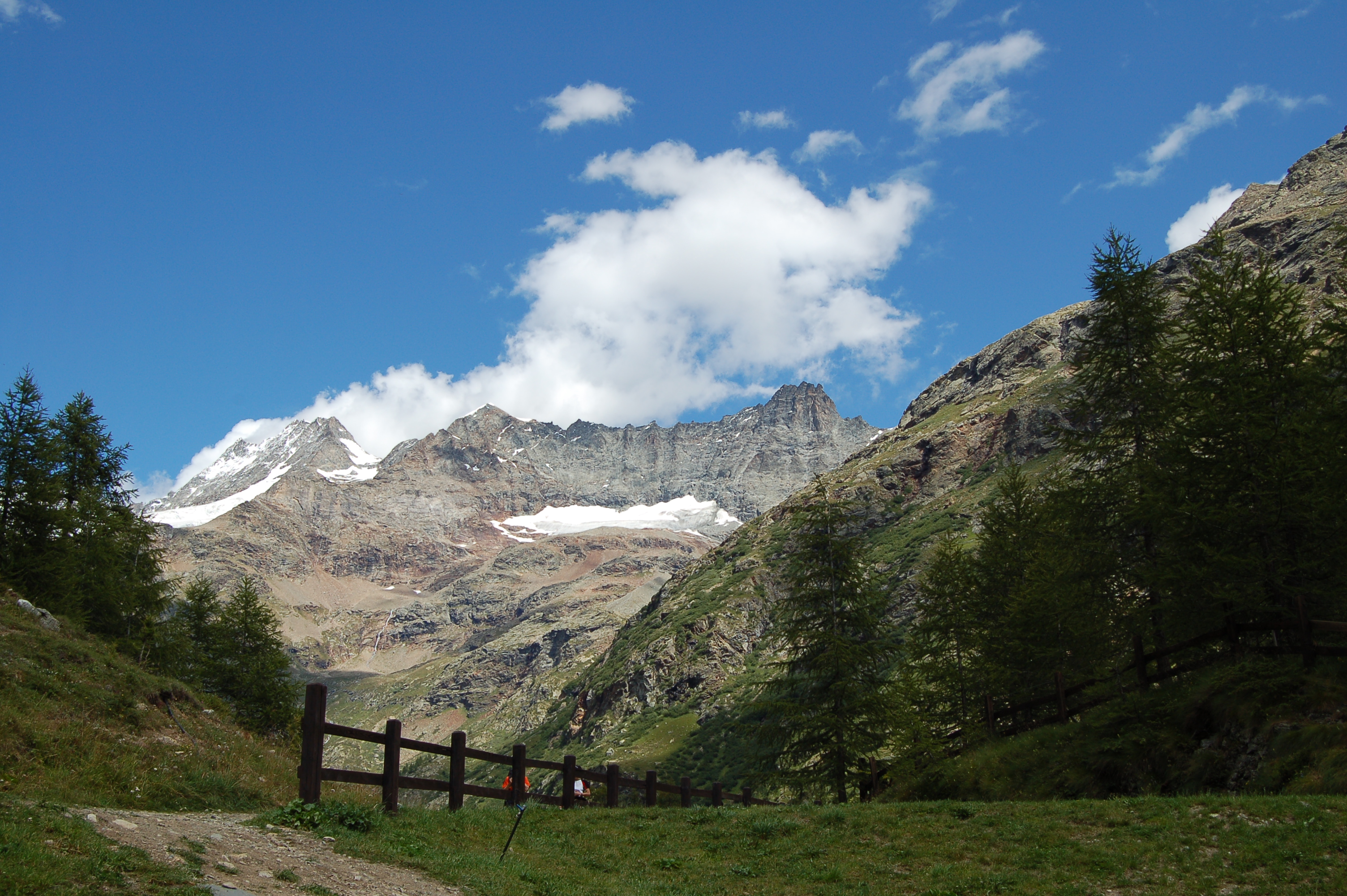
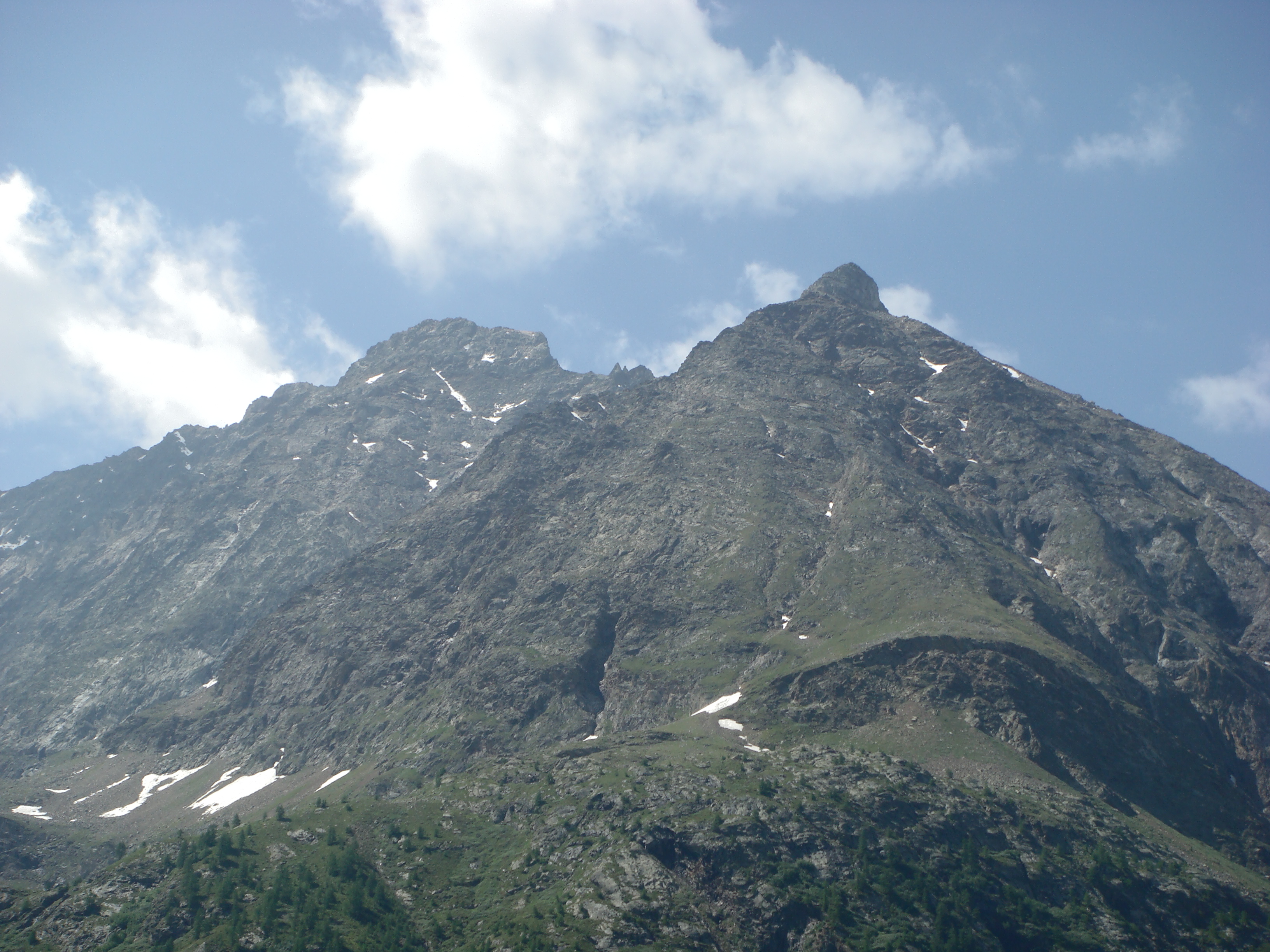
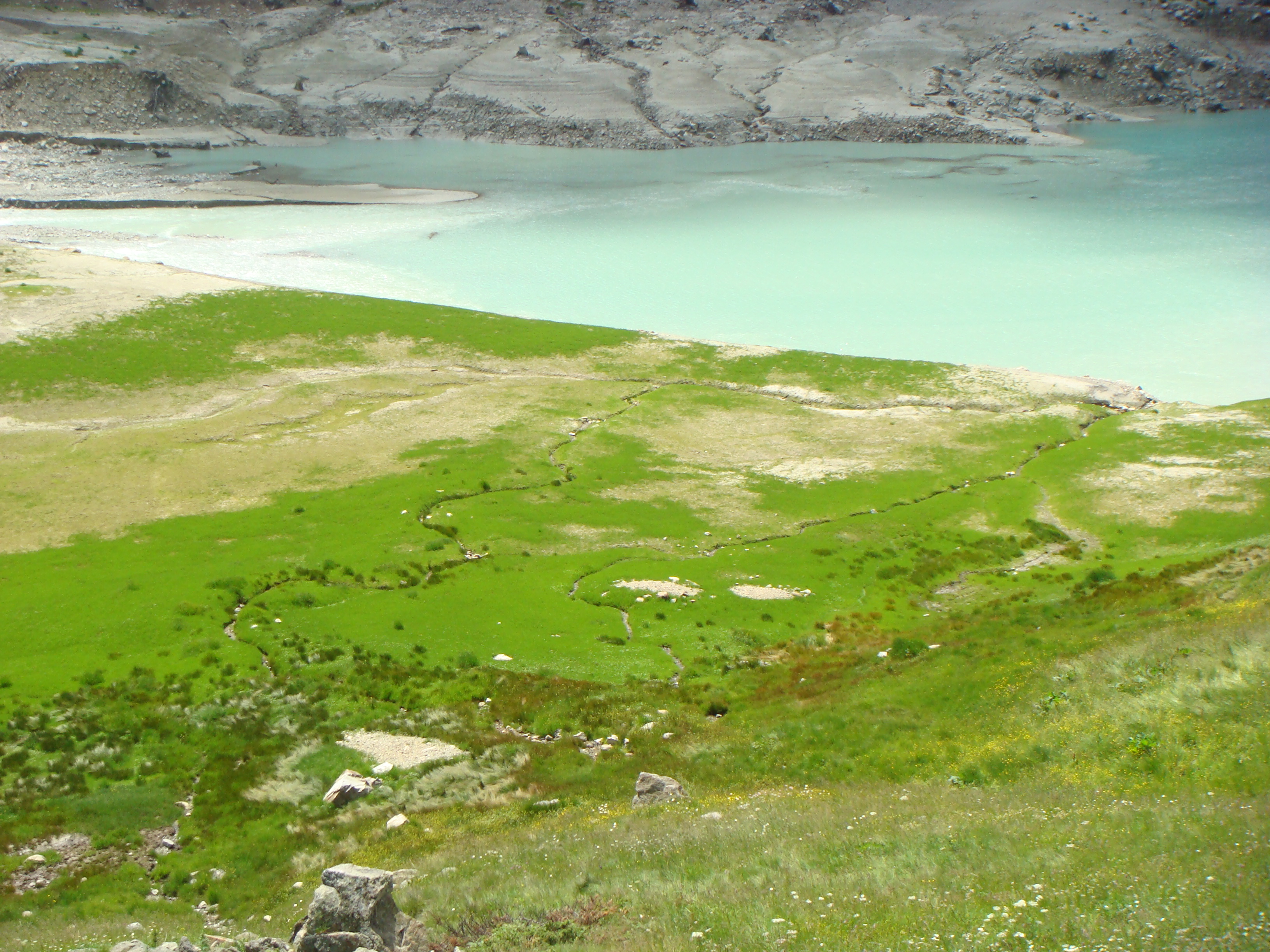
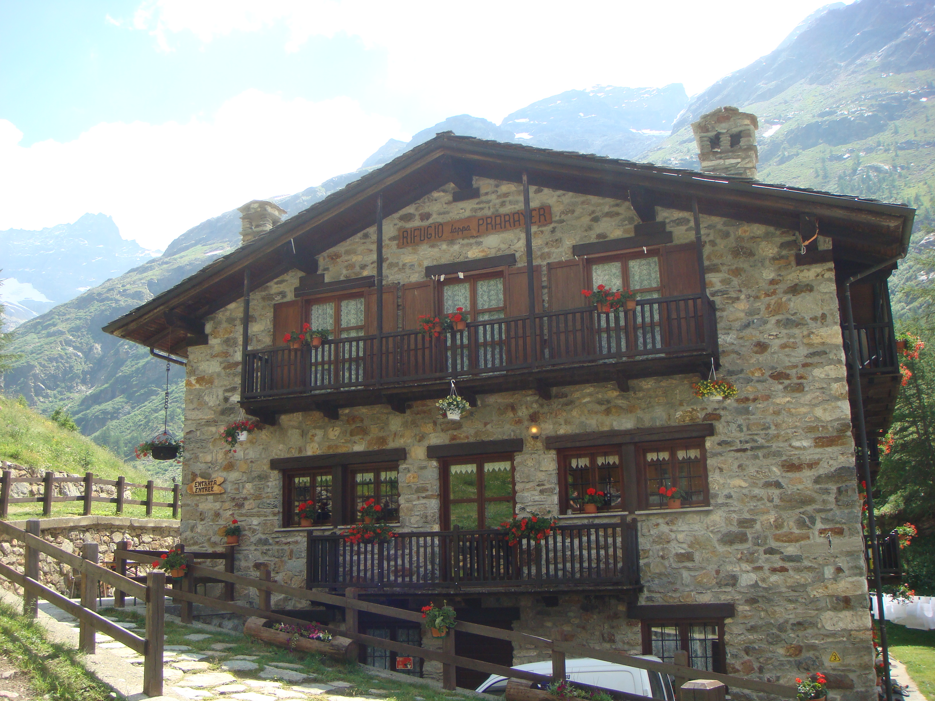
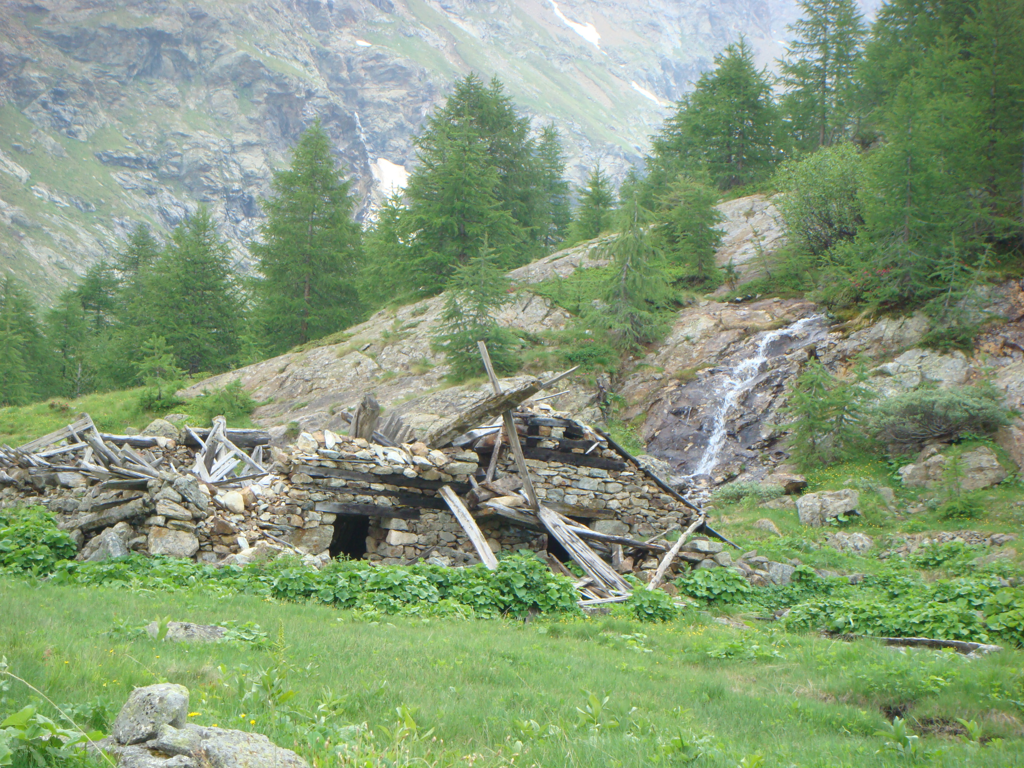
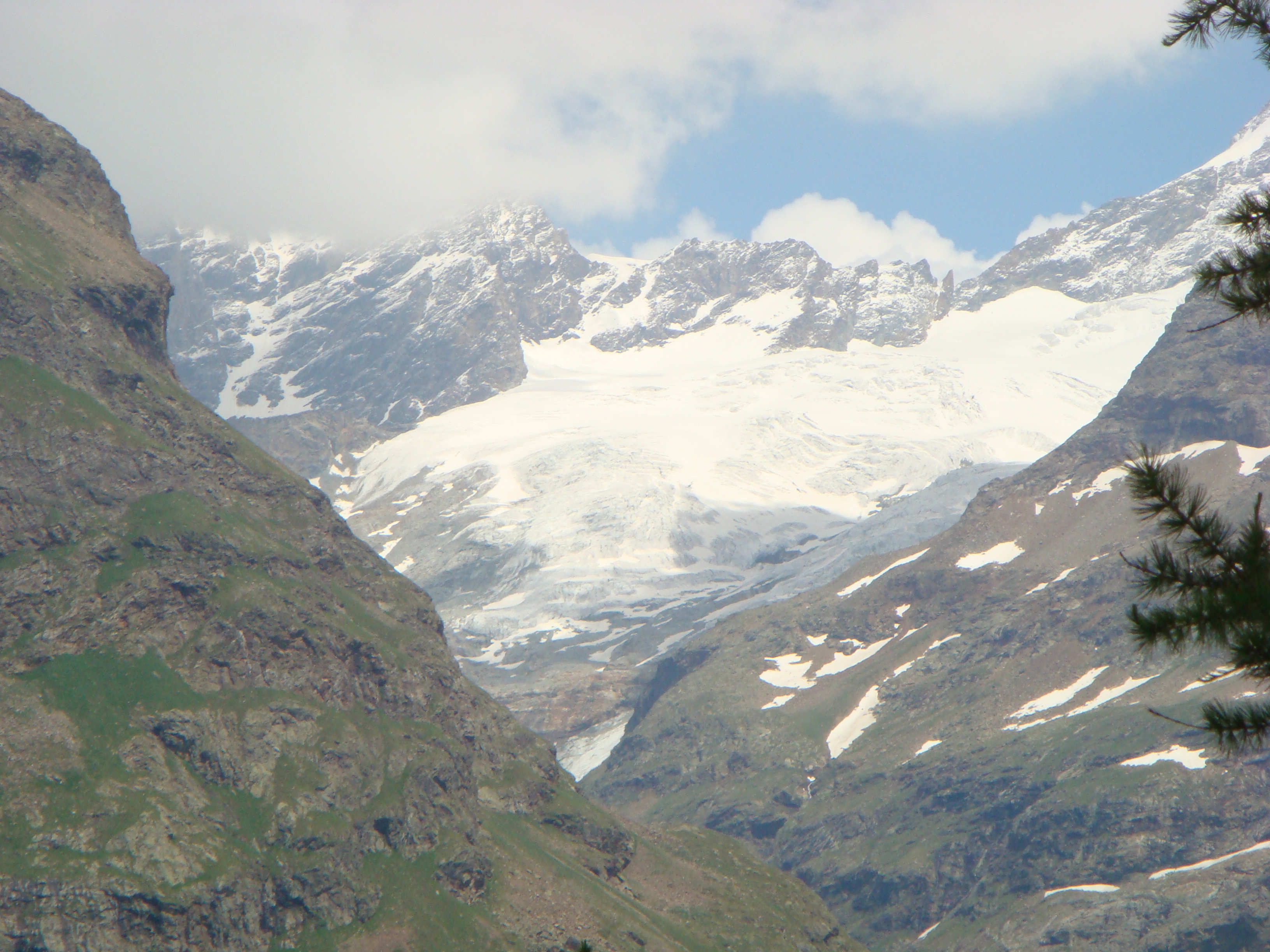
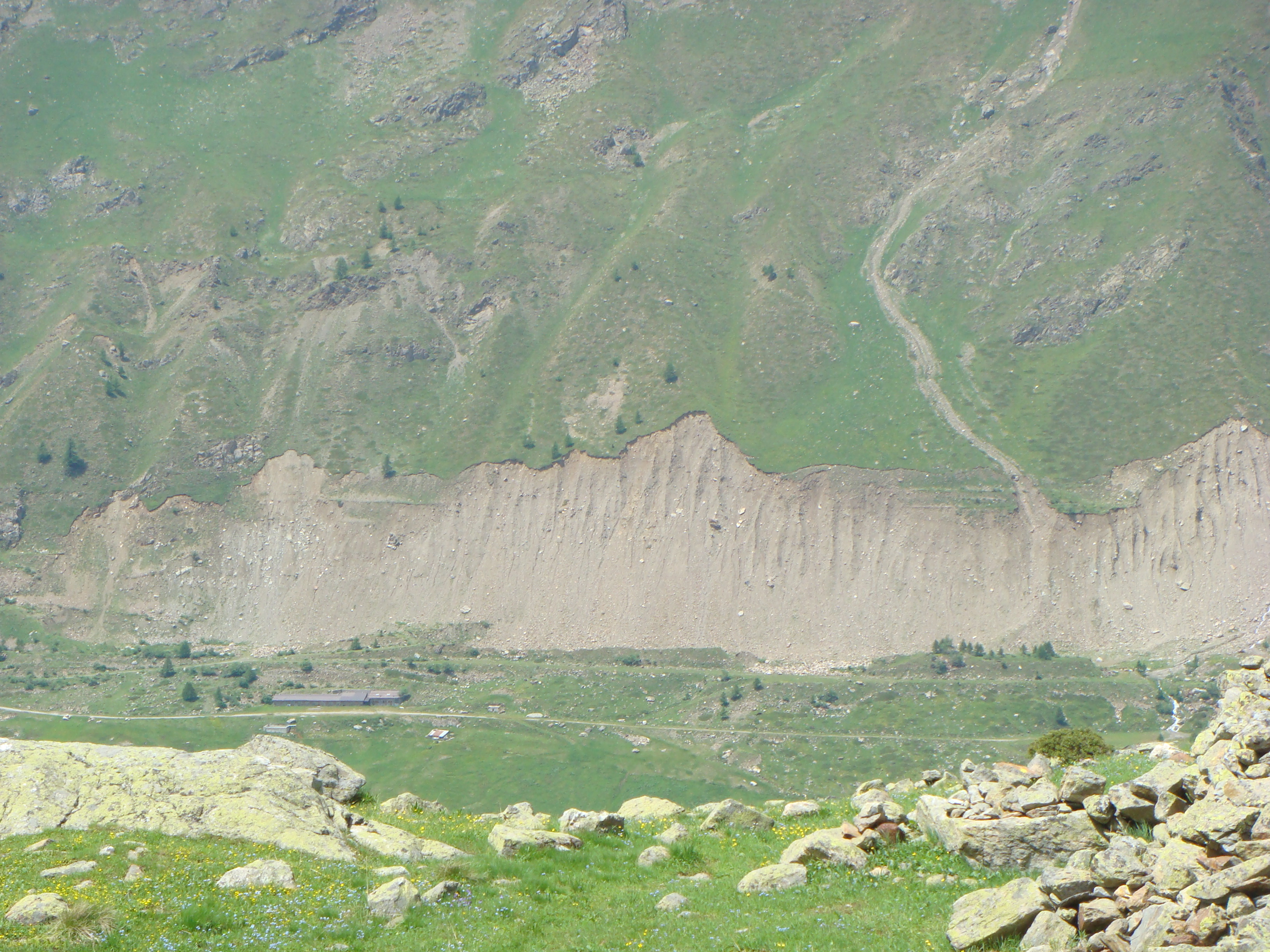
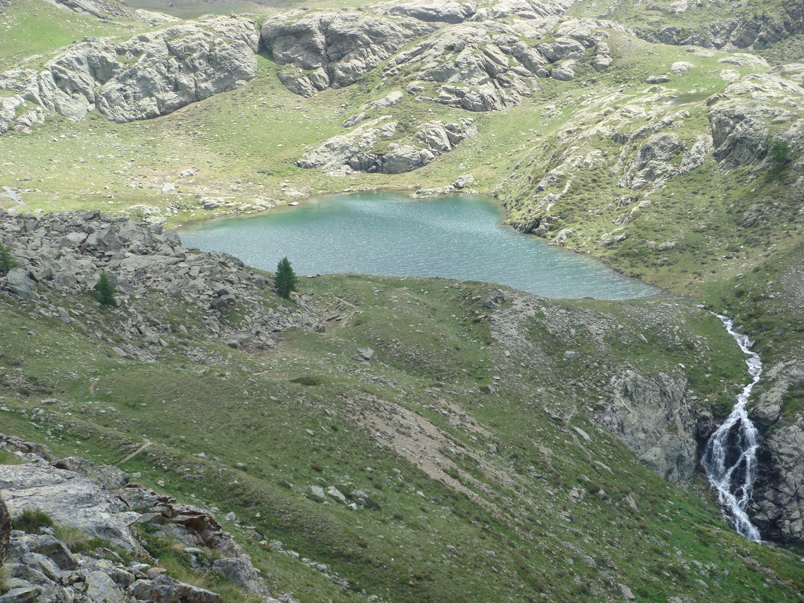
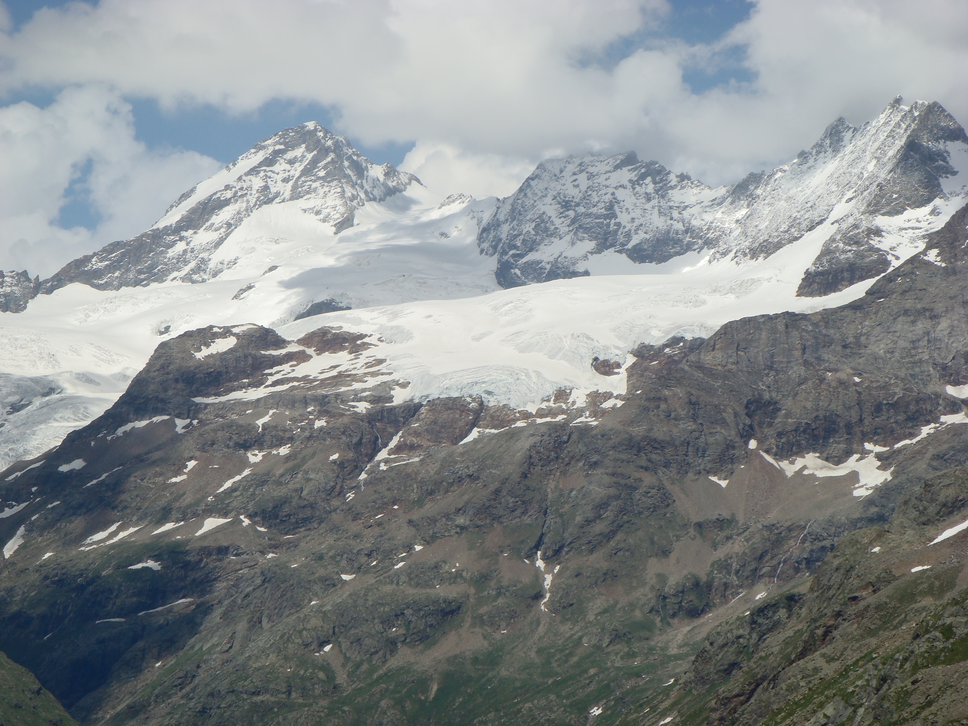
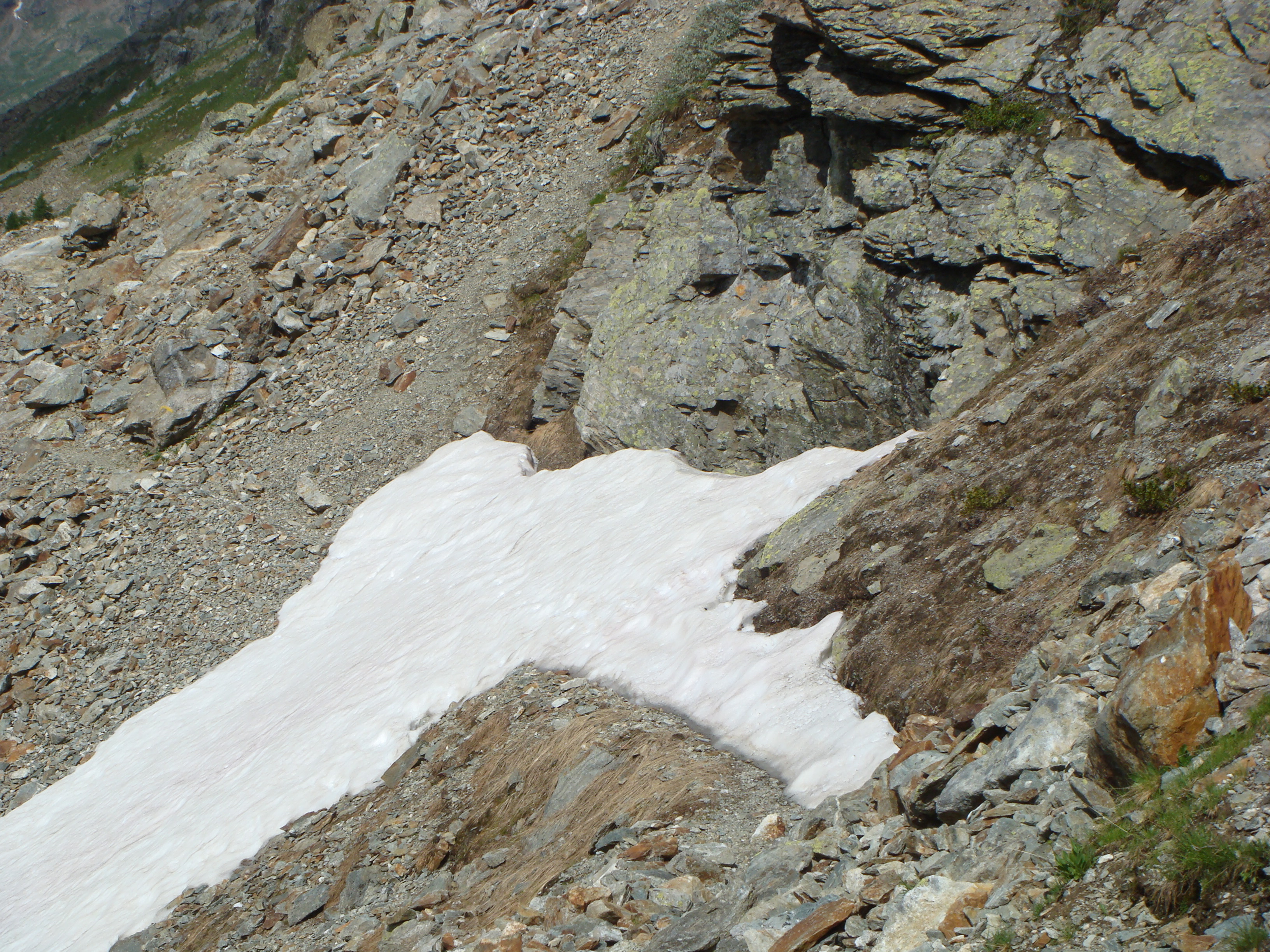
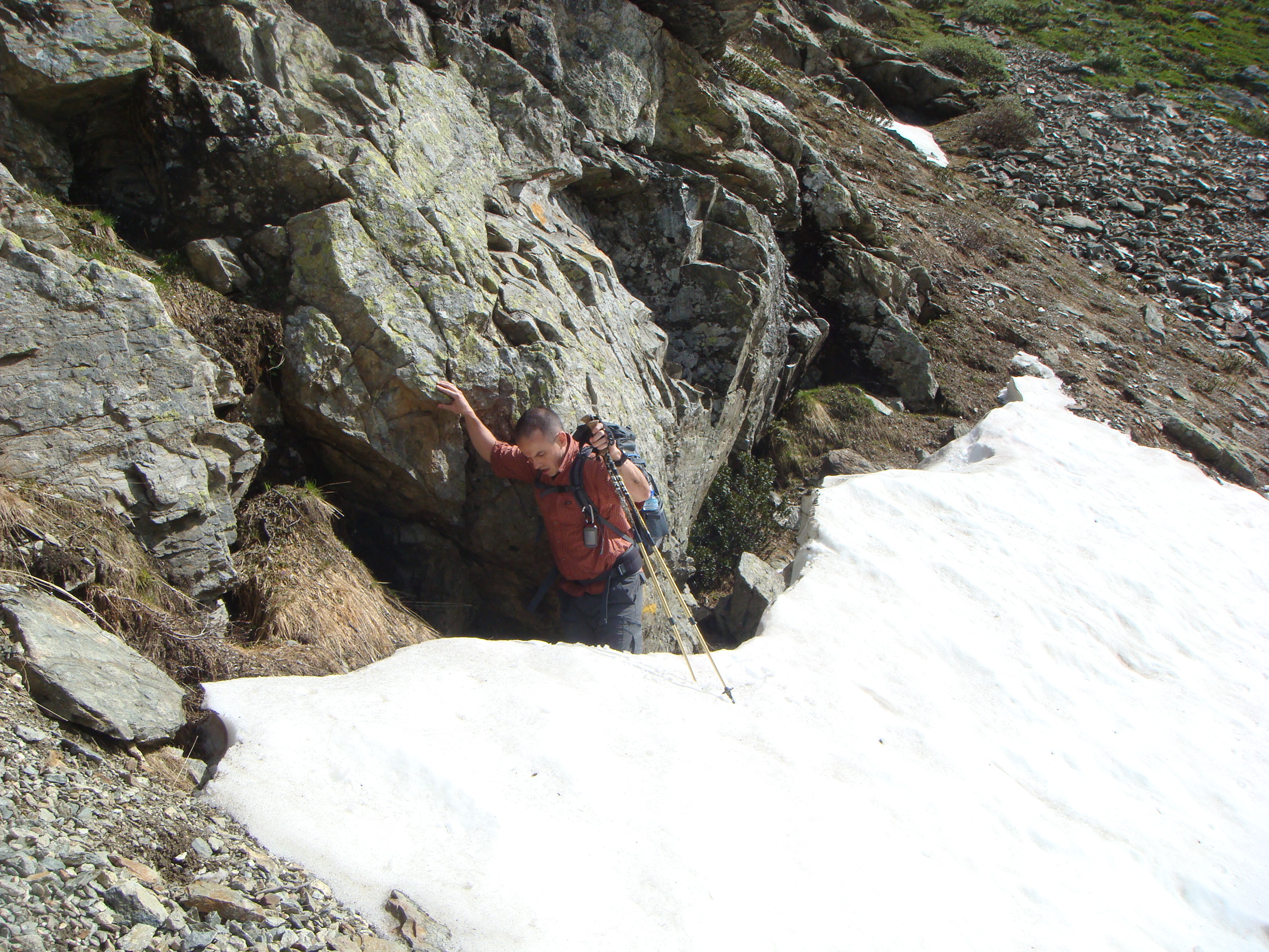
From the bottom of the car park, we set off on the little road that passes slightly uphill to the right of a small kiosk and, becoming a dirt track, follows faithfully, with a few ups and downs but always with an almost flat route, the shores of the lake. After a short distance, you pass the turnoff for the Collon refuge, then cross a bridge and pass a small church to reach, after about an hour's walk from the car park, the Prarayer refuge (2005m). You pass the hut and, after a few dozen metres, you come to a crossroads with posts indicating the path towards the lake, which deviates to the right and descends a few metres to cross the Buthier stream on a bridge. Passing on the opposite side of the lake, walk on level ground until arriving, shortly after leaving the path to the Col de Valcournera on the left, at the Plan de l'Arp alpine pasture (1995m) and climb up a little in altitude with comfortable hairpin bends in the beautiful larch forest (Bois de Charvin) above it; After a few more hairpin bends and a few long traverses, you reach a small grassy plateau (beautiful panorama to the east over the peaks and glaciers of the upper Valpelline and to the north the Comba d'Orein) where the ruined mountain pasture of Mont Charvin (2245m) is located. Pass it on the left to continue to rise among the larch trees that are becoming increasingly sparse. The long traverse halfway up the hillside now continues westwards and first reaches the ruins of the Chalet Vieux mountain pasture and, after passing a stream, continues along the Côte de Livourneaz that crosses, with a few ups and downs and without excessive gradients, a series of landslide areas (a few early season snowfields) on a trail that is always evident. The path then rises towards the ridge of a moraine from which, at the bottom of the solitary Livourneaz valley, you can see the lake, which is reached by descending a little more than fifty metres in height.
Il sentiero e' sempre ben evidente.
arrivati al rifugio Prarayer si attraversa ponticello sopra il fiume Buthier e si prosegue su sentiero 13.
L'unica nota di attenzione da parte nostra e' che il sentiero nel Bosco di Mont Tsarvin e' infestato di zanzare affamatissime visibili in "formazione d'attacco" e che attaccano in gruppo da diversi angoli.
Passati i ruderi di Mont Tsarvin, col diradarsi del bosco scompaiono anche le zanzare e si puo' veramente godere dell'ambiente circostante.
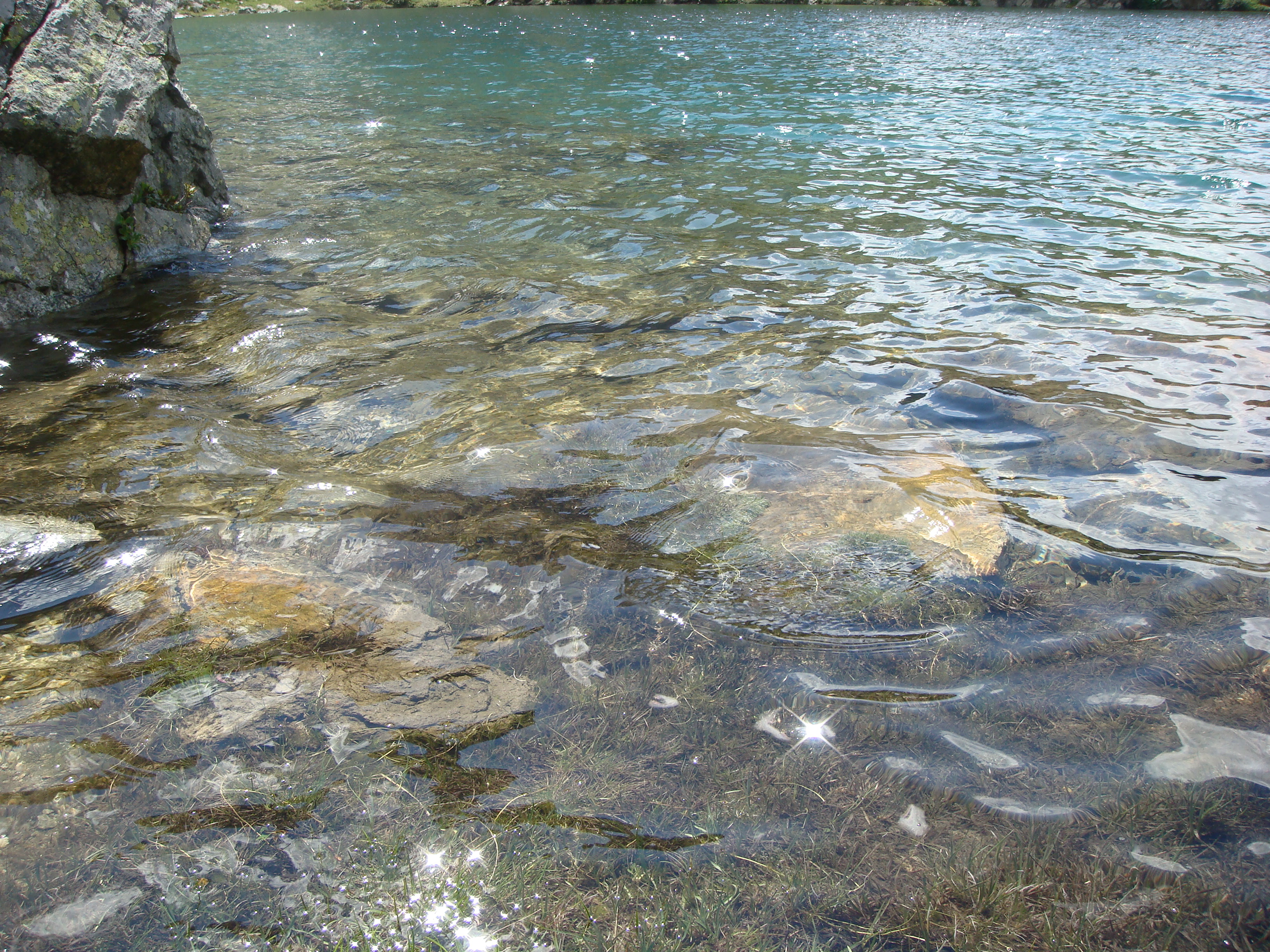
Il lago di Livournea si trova in posizione panoramica e tranquilla.
Il ritorno si effettua sulla stessa strada
Il sentiero e' sempre ben evidente.
arrivati al rifugio Prarayer si attraversa ponticello sopra il fiume Buthier e si prosegue su sentiero 13.
L'unica nota di attenzione da parte nostra e' che il sentiero nel Bosco di Mont Tsarvin e' infestato di zanzare affamatissime visibili in "formazione d'attacco" e che attaccano in gruppo da diversi angoli.
Passati i ruderi di Mont Tsarvin, col diradarsi del bosco scompaiono anche le zanzare e si puo' veramente godere dell'ambiente circostante.
Il lago di Livournea si trova in posizione panoramica e tranquilla.
Il ritorno si effettua sulla stessa strada


Comments (0)
Sign in to leave a comment