At the motorway junction of Aosta West, turn right and take the regional road for the Cogne valley. Drive through the village of Aymavilles and, after 1.3 kilometres, take the second exit at the roundabout. Go up the regional road for 19 kilometres, passing the villages of Vieyes, Epinel and Crétaz, until you reach a roundabout: take the second exit, following the signs for Lillaz. Continue on the communal road for about one kilometre until you reach another roundabout; continue straight on for another 1.8 kilometres until you reach the large free car park 🅿️ in Lillaz.
[0h32'] - [24.0km] How to get there with GMAPS How to get there with Apple Maps
The directions provided have been carefully checked at the time of the route survey. However, it is highly recommended to check for any changes that may have occurred since then, especially regarding the route to the starting point. Before embarking on your journey, it is advisable to consult up-to-date navigation tools for accurate and up-to-date directions. We recommend the use of satellite navigation apps, such as Google Maps or Apple Maps, to ensure the most accurate and safe route.
Introduction
A long hike dedicated to lovers of solitary, unspoilt places that reaches one of the wildest places in the Gran Paradiso area. The lakes are located in a basin bordered by the stony slopes of Pointe Miserino and Pointe d'Echellette.
Description
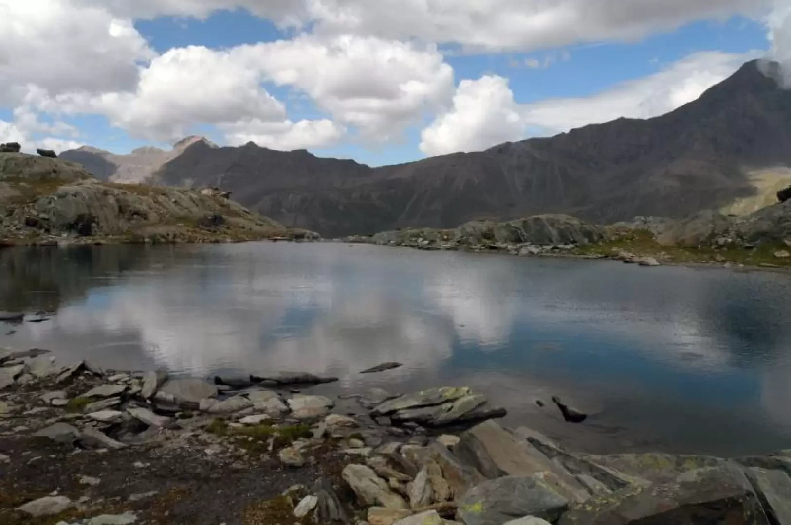
From the car park, head towards the large tourist board and the numerous route markers and continue along the road to the left until you reach a house with a flight of steps made of stones and the route's starting points. Having climbed the steps, continue along the easy path, ignoring the detours to the waterfalls and the rock climbing wall, which skirts a small asphalt road and heads towards the top of an obvious water conduit. After this uphill stretch, continue, without gaining altitude, with a few ups and downs to pass by a little votive chapel and, a little further on, passing by a low wall, cross the green pastures below the Goilles dessus mountain pasture, which just precedes Goilles desot. Walk a little more on the level until you come to a small dam, where you cross the Urtier stream on a bridge and climb up the rhododendron and conifer forest without too much slope to an altitude of 2,150m, where there is a fork: leave the path to Bardoney on the right and walk slightly downhill to cross a couple of small streams and climb up the opposite slope where the Teppe Lunghe N.G.P. hut is located (2,105m). After skirting the grassy promontory slightly uphill with the forest now thinning out, we begin a long traverse halfway up towards the east that takes us into the green Urtier valley, where at its head we can see the wide depression of the Finestra di Champorcher. Two detours on the right are encountered, which are omitted in order to continue straight ahead and also pass the diversions on the left for the Broillot alpine pasture. A little further on, having passed a few grassy knolls, we come to a crossroads, well signposted on some stones, between the path we are following and another coming from the left. From this point, there are two possibilities for ascending: the first, longer one follows entirely the route of path 13C: after passing a few grassy bumps, we arrive at the fork that finally allows us, by turning right, to approach our destination. Now the path continues, always well signposted, rising with wide bends that at times follow the route of an ancient hunting road and, with hairpin bends always without excessive gradient, we enter the valley up to an altitude of about 2,500 m where we find a post with a signpost on the right for Colle Miserino. Now, taking the latter direction to the right, we continue along a path without any overly visible tracks but well signposted by a few yellow marks and stone cairns, which takes us around a small grassy promontory and down to the bottom of the small valley in a stony area. The second, shorter route follows the old itinerary to Colle Miserino: a track is clearly visible and well signposted by a few yellow markers, and starts to the right of the crossroads, first on grass and then on a well-trodden path that passes between gentle grassy undulations. Walk towards an obvious area characterised by moraine debris and higher up by the Pointes de Rancio to reach the bottom of the small valley in a stony area. From this common arrival point, cross a small stream on the right on some stones and walk on the opposite side towards a series of rocky crags that you either go around or climb up, aided by stone cairns, at the best points. You will soon reach the steepest and most exposed cliff, which you climb directly on smooth rocks; climb a few more boulders and you will arrive on the shores of the first of the two lakes, the smaller one, and after crossing a short grassy section you will also reach the shores of the second lake.
Share
We have been there
Edited by:
Benedetto Lorusso
Thursday 21 July 2011
Laghi Miserini
Avevo visto i laghi dalla Tour Ponton e avevo deciso che meritavano una visita.
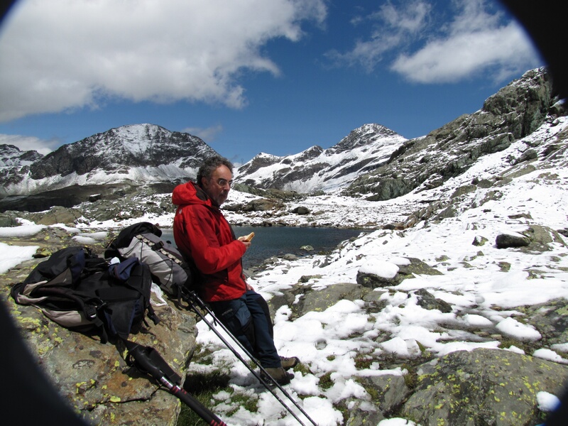
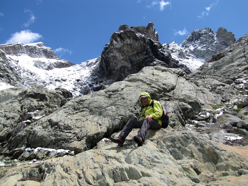
E quale migliore occasione visto che la Valpelline era stata ricoperta di neve, dai 2500 metri in su, di andare a cercare più a Sud una gita praticabile.
E così via a Cogne con il mio amico Cesare.
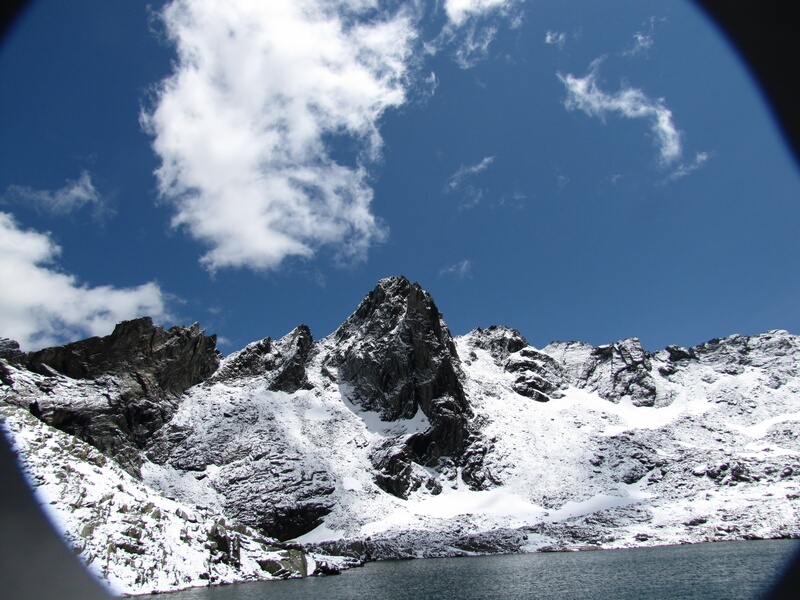
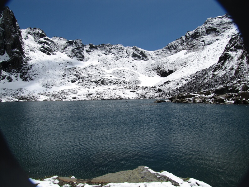
Ma a Cogne troviamo la stessa situazione che in Valpelline, la cosa ha dato un aspetto quasi magico al lago e ai suoi dintorni.
La neve non è stata mai di ostacolo, specialmente nella salita della bastionata finale per la sua ripidezza la più libera da essa.
Gita lunga, il sentiero arriva fin quasi al rifugio Sogno, mentre probabilmente, dopo Broillot doveva esistere un sentiero più diretto che avrebbe fatto risparmiare almeno mezz’ora.
Un vento freddo e fortissimo ci ha presto rimandati verso valle.


Comments (0)
Sign in to leave a comment