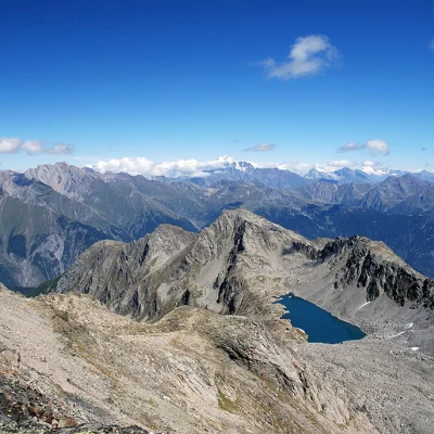
Mont Cormet, from Colle San Carlo

Access
From the motorway barrier at Aosta-West, keep left and follow the signs for Aosta - Saint-Pierre. After one kilometre, at the roundabout, take the second exit to join the national road . Continue on the state road for 21.1 kilometres, passing through and alongside the villages of Saint-Pierre, Villeneuve, Arvier, Avise and Derby until you reach a roundabout near Morgex. Take the second exit and take the regional road which, after skirting the Dora Baltea for about one kilometre, turns left to begin the ascent to Colle San Carlo. Continue along the regional road for another 11.8 kilometres with a succession of hairpin bends until you reach Colle San Carlo and the free car park 🅿️ opposite the Genzianella hotel. The area is very popular with tourists, so you may not find a parking space, especially if you arrive early.
[0h51'] - [32.4km]
How to get there with GMaps
How to get there with Apple Maps
The information provided here has been verified as of the date of the route survey. Before setting off, it is advisable to ensure that no substantial changes have occurred on the route to the starting point. We therefore recommend the use of the satellite navigation apps provided by Google or Apple for up-to-date and detailed directions.
Introduction
Long hike in the Valdigne mountains. The ascent to Mont Cormet presents some difficulties in finding the route in the section just above Lake Pietra Rossa and a short climbing passage just below the summit. Overall, the excursion is absolutely grandiose and not to be missed, both for the beauty of the lakes encountered along the ascent and for the precious panorama that can be enjoyed from the summit.
Description
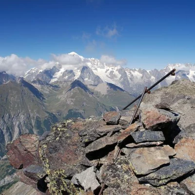
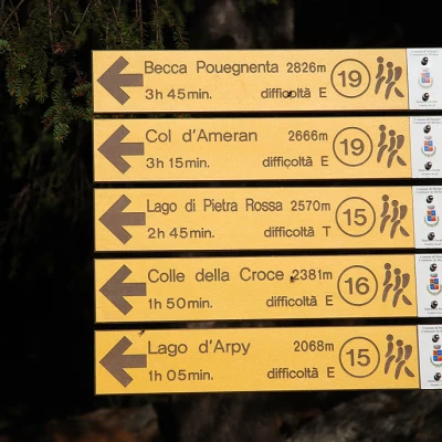
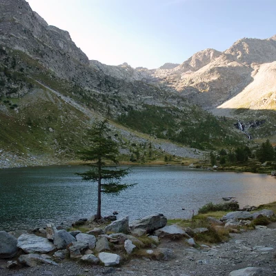
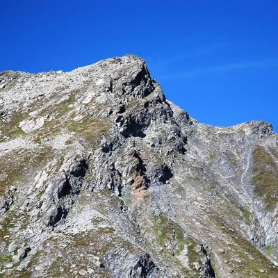
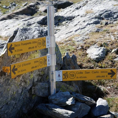
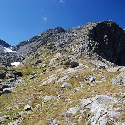
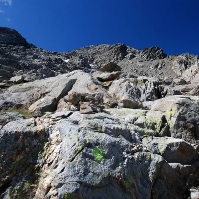
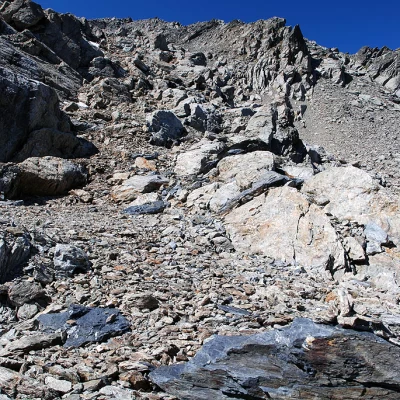
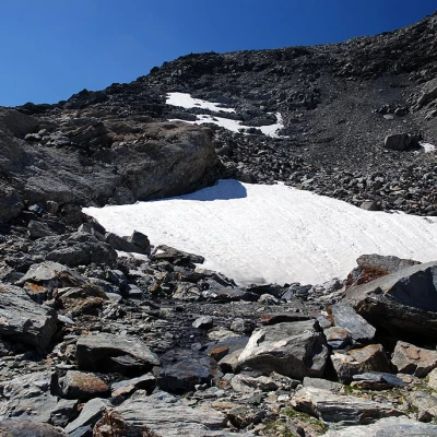
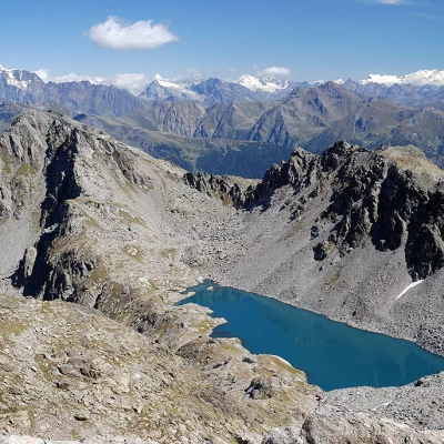
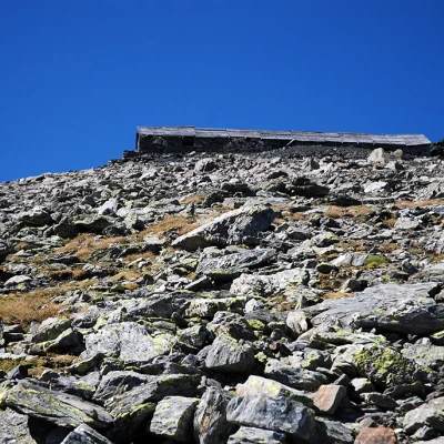
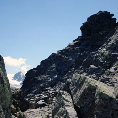
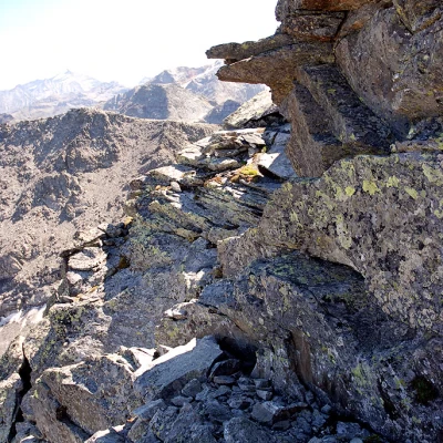
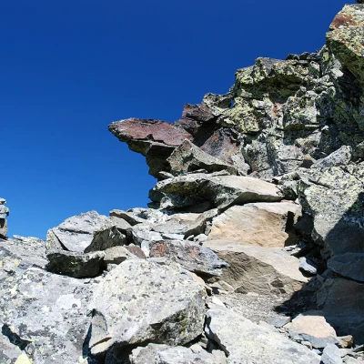
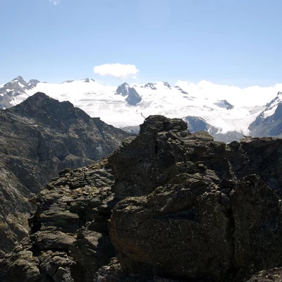
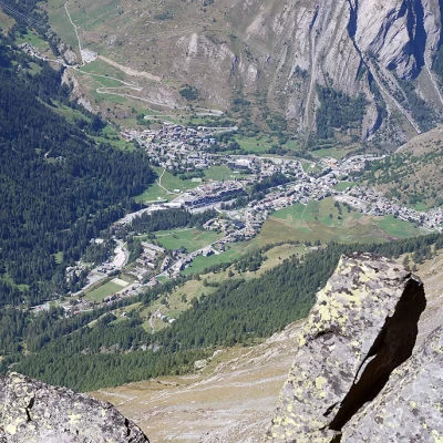
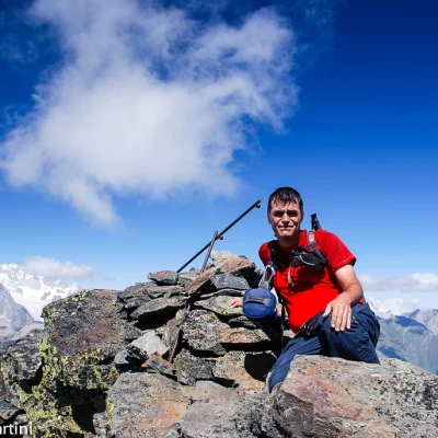
Leaving the car in the car park next to the Albergo Genzianella, we turn left and follow the signposts indicating the path the route we are to follow. We immediately enter a beautiful wood of firs and larches, following a wide, semi-flat road. After following the contours of a small valley, the path makes a large semicircle, and we reach a fork in the road (2012m, 0h15'): we continue on path that branches off to the left, ignoring path that leads to the Col de la Croix (2381m). Proceed slightly downhill into the valley leading to the lake. Leaving a few wooden benches along the way that can be used for a restorative break, the trail begins to climb again with greater intensity and, after a couple of hairpin bends, it resumes almost level, crossing the base of the ridge below the Col de la Croix. After reaching a fountain, the walk continues amidst patches of blueberries and rhododendrons. The last stretch before the lake is marked by a thinning of the forest and the presence of a waterfall generated by the waters coming out of the lake. You soon reach Lake d'Arpy (2066m, 0h45'); proceed along the path that runs alongside the lake, leaving it to the left, until you reach a fork in the road: turn left and proceed along the obvious path that crosses a series of pools with a few sparse larch trees. You will reach the Torrent d'Arpy, to be crossed on a splendid ford made of stone blocks. Once on the orographic right, proceed on the path that begins to climb up the side of the valley until it reaches the Pian d'Arpy plateau, where the path eases the slope a little. Go around a fold of the western slope of the Becca Pougnenta to the left, bringing the hiker close to the first rocky step. The path steepens and immediately becomes steep. A few twists and turns, with a few somewhat awkward passages, allow the hiker to quickly gain height until reaching a hanging terrace where the turnoff for the ferrata can be found: neglect this path (on the left) and proceed across the scree terrace until reaching the second rocky step. You now ascend the path, which is stepped in places, with a long diagonal and subsequent hairpin bend, which allows you to cross the step. At the end of the ascent, you come to a signpost: turn left, taking you to the edge of the beautiful Pietra Rossa lake (2555m, 2h45'). From the lake, proceed to the right, starting to climb up the path that heads towards Col Cormet. The trail proceeds, losing itself a little at the edge of the eastern ridge until it reaches a wide stony basin. In a monotonous environment, one begins to ascend the slope, overcoming a few rocky steps without any particular difficulty. You quickly gain height while, behind you, Lake Pietra Rossa appears in all its splendour. At an altitude of around 2850m, the route turns left, heading towards the south-eastern ridge; having reached it, we now proceed past a few rocky steps, always following the faint trace of a path supported by stone cairns. Slowly, the Ricovero Tenente Chabloz (Lieutenant Chabloz Shelter) appears on the horizon and becomes a reference point for keeping the direction until the north ridge is reached. The slope decreases a little and, on the left, the summit peak begins to be seen; with a little effort, the Shelter Lieutenant Chabloz (2993m, 4h00') can be reached, located on the slope between Mont Colmet and 3014m. Here you can take a short break, perhaps to go left towards the anticima (altitude 3014m). To conclude the ascent, proceed to the left, descending a few metres to the maximum depression of the saddle; from here, the track leads decisively towards the summit. When you reach the first rocky corrugations, keep to the left and follow the path, which is slightly exposed in some places; the path goes round the peak and enters a gorge: here begins the alpine part of the ascent, a few metres of simple climbing between I and II- which, without any particular difficulty, allows you to overcome the last few metres to the summit of Mont Cormet (3023m, 4h15'). From the summit, it goes without saying that the panorama is breathtaking: given the centrality of the summit and the proximity to important mountain groups such as Rutor and Mont Blanc, the panoramic views of the main peaks are decidedly extraordinary. The descent is along the paths taken on the ascent (2h00').
Galleria fotografica
We have been there
Mont Cormet
Report della gita
Informazioni generali
Condizioni via o sentiero:
Pericolo Oggettivo:
Tratti esposti:
Rischio valanghe:
Affollamento:
Condizioni meteo
Cielo:
Temperatura:
Condizioni neve:
Condizioni ghiacciaio:
Avvistamenti
Fauna:
Flora:
