At the motorway junction of Aosta Ovest turn right and take the road to the Cogne valley. Drive through the village of Aymavilles and after 1.3 kilometres at a roundabout take the second exit. Go up the regional road for 19 kilometres passing the villages of Vieyes, Epinel and Crétaz until you reach a roundabout: take the second exit following the signs for Lillaz. Continue on the communal road for about one kilometre until you meet another roundabout: continue straight on for another 1.8 kilometres until you meet the large free car park 🅿️ in Lillaz.
The information provided here has been verified as of the date of the route survey. Before setting off, you should ensure that no substantial changes have occurred on the route to the starting point. We therefore recommend the use of the satellite navigation apps provided by Google or Apple for up-to-date and detailed directions.
Introduction
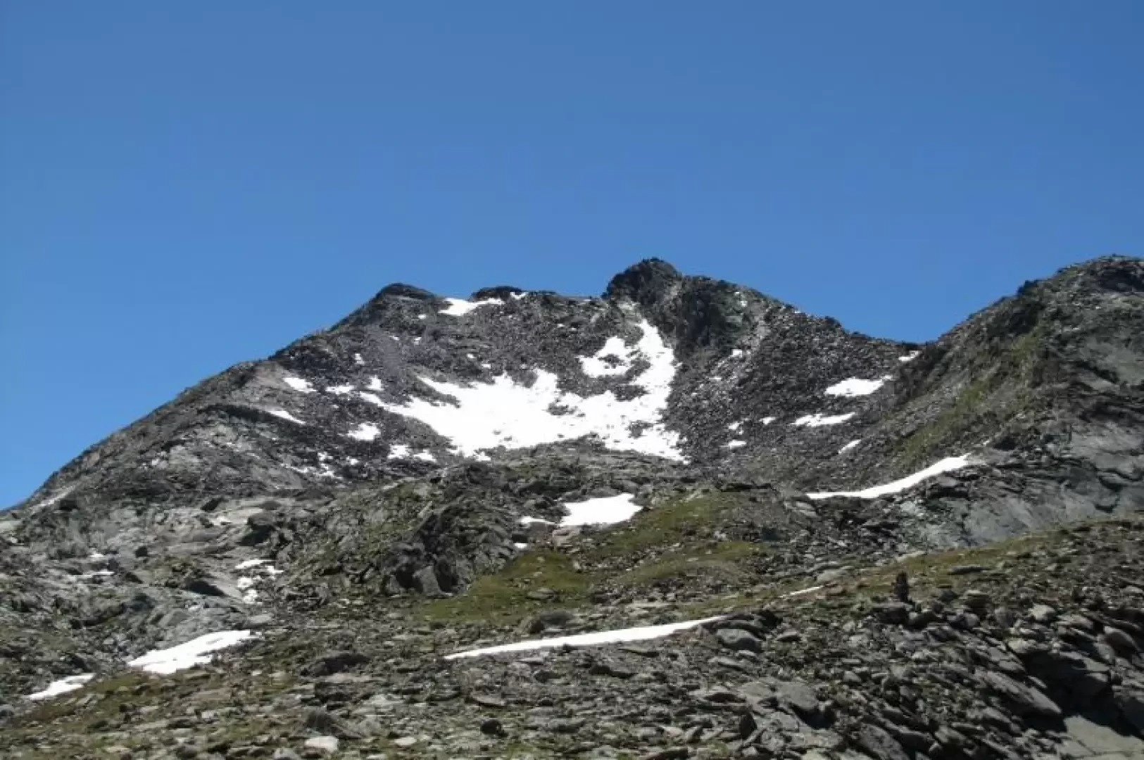
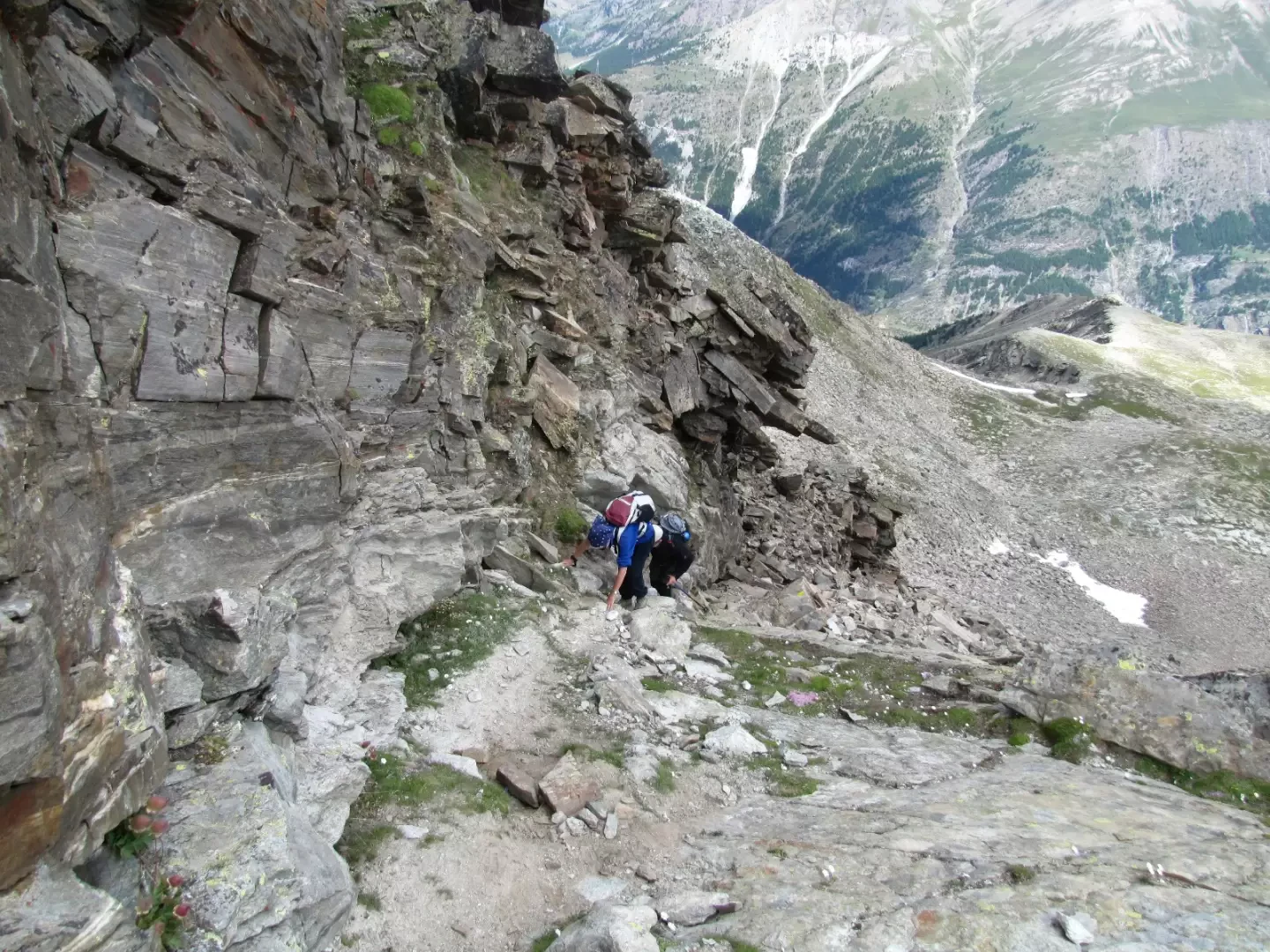
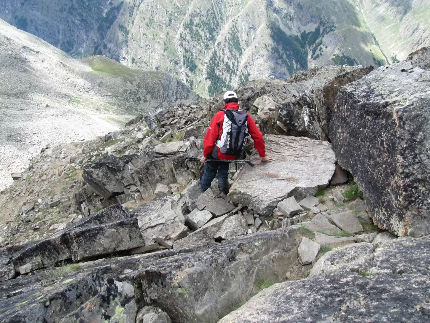
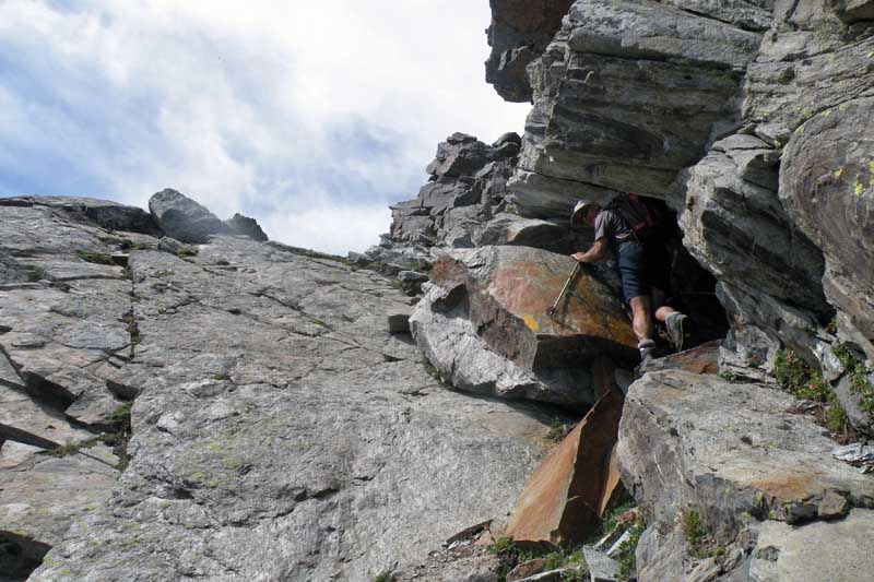
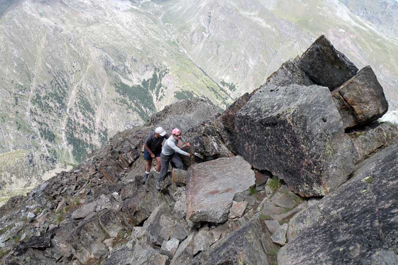
Percorso lineare con rientro sullo stesso itinerario che da Lillaz risale il vallone della Valeille fino alla Punta Fenilia. La salita attraversa un canalone boscoso, un ampio settore detritico, i pianori erbosi dell'alta valle e il canalino che conduce al colletto sotto la vetta. Il tratto conclusivo percorre un cengione friabile sul versante della Valnontey e supera alcuni gradoni rocciosi con un breve passaggio esposto. Affrontare l'itinerario in estate inoltrata, quando i nevai residui sono sciolti. Il notevole dislivello, la traccia poco marcata nei pianori superiori e il tratto terminale richiedono allenamento, capacita' di orientamento e piede sicuro.
Description
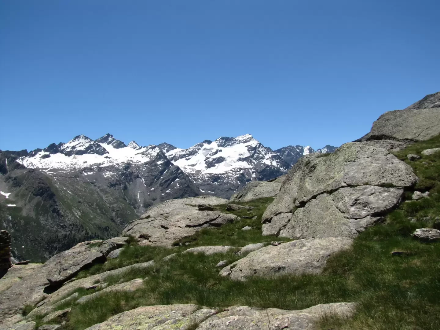
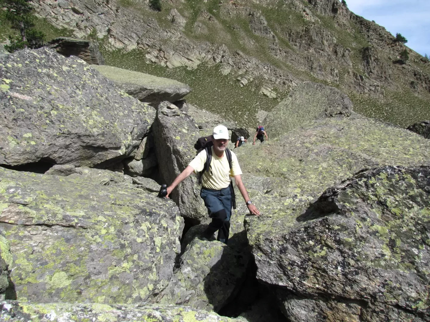
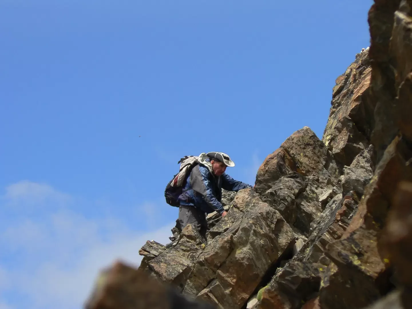
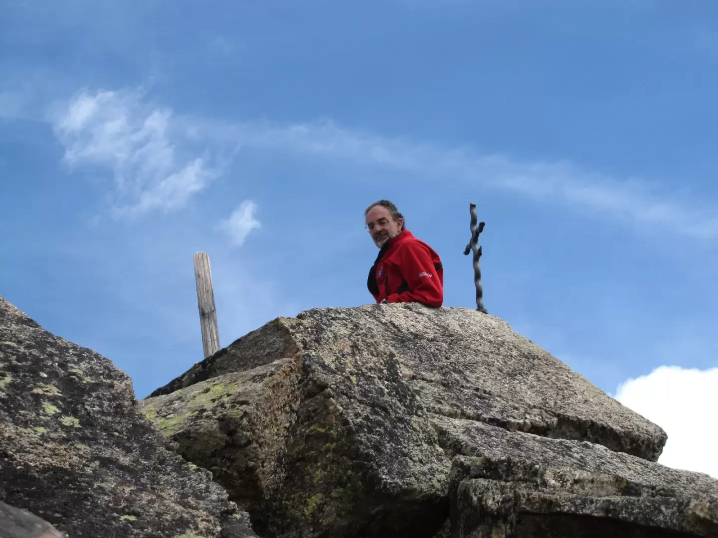
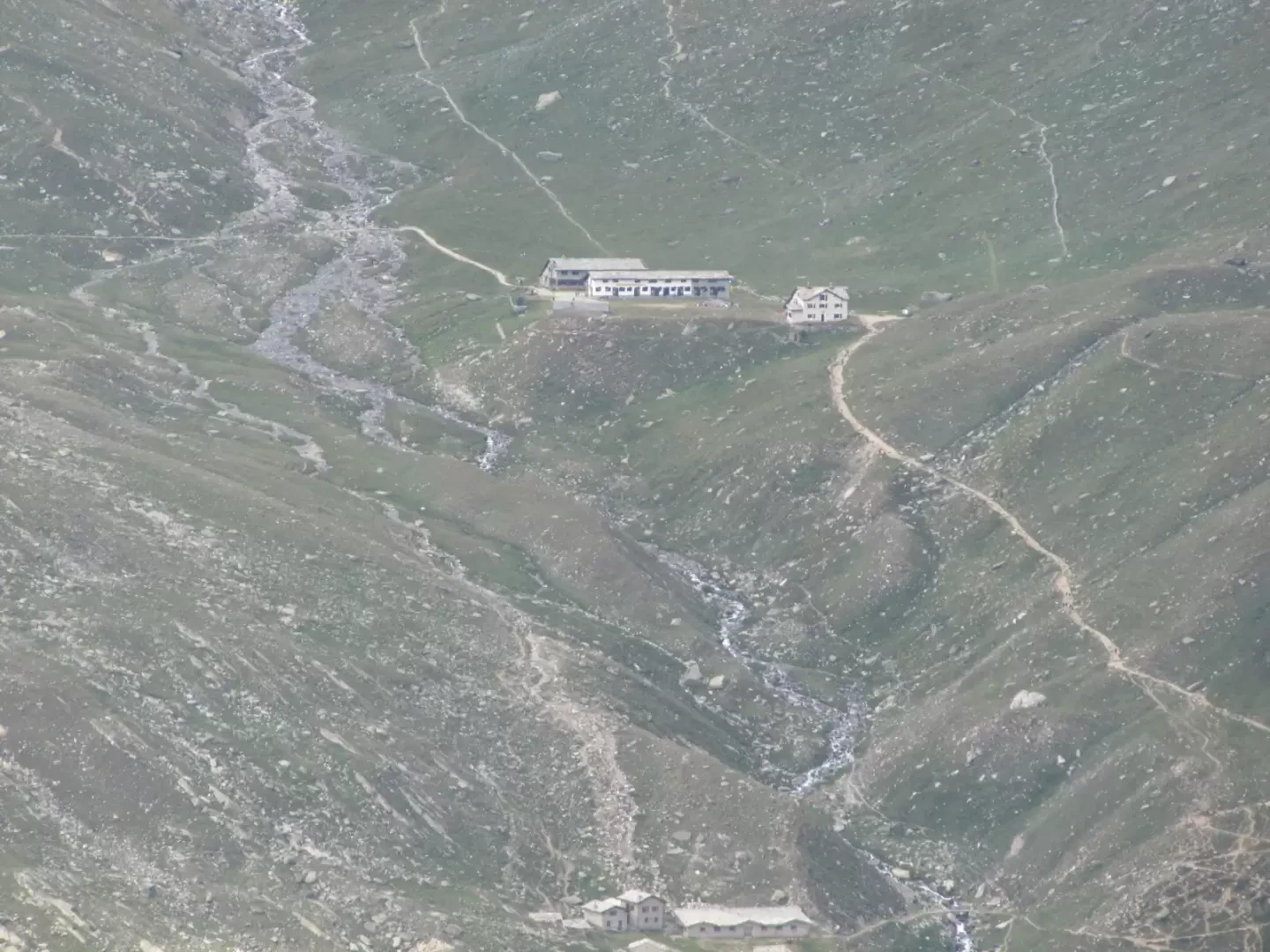
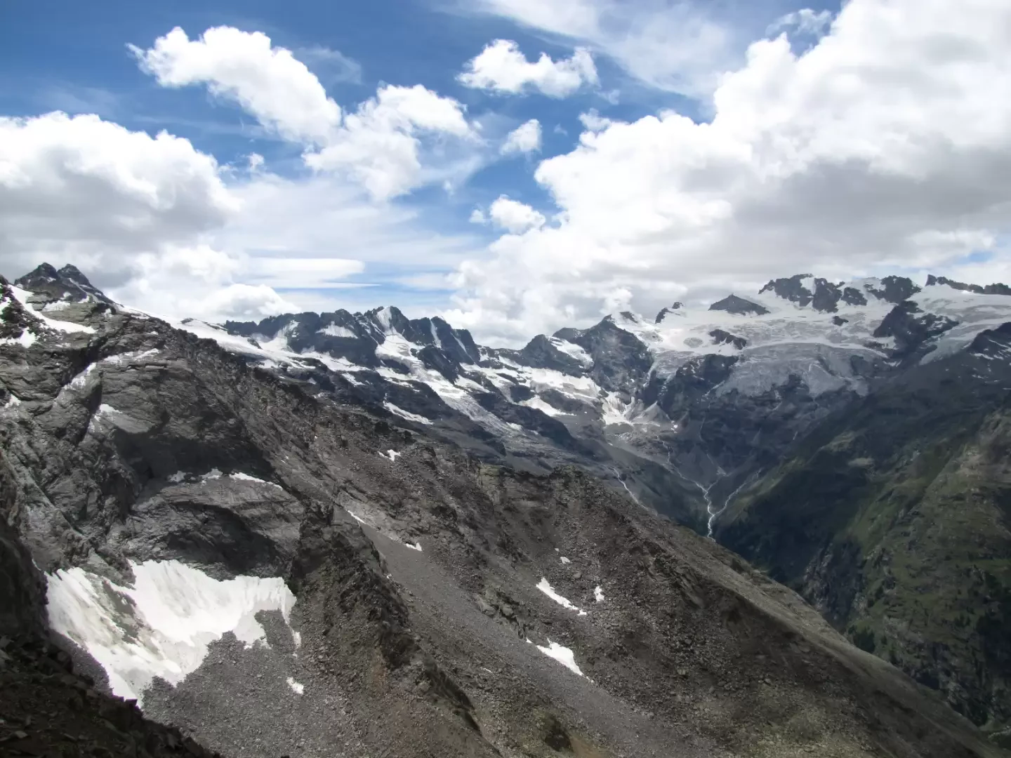
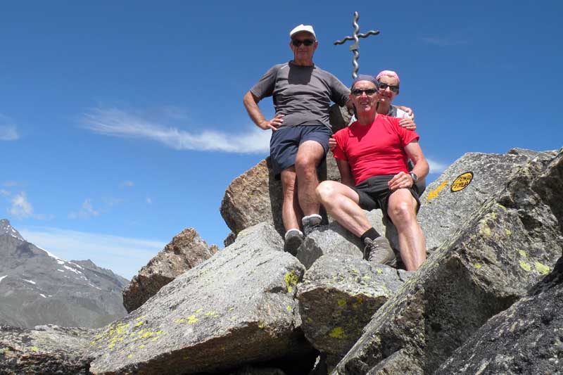
From the Salassi di Lillaz campsite, cross the bridge and follow the signs for Fenilia (trail 16) . Leave trail 16 and follow trail 17, which descends gently and at first takes you past two boulder rockslides, following the cairns. Once you have recovered the trail, you reach a large cairn with a beautiful view of Valeille. With a small, sometimes uncertain path, but following the cairns and yellow signs, you cross the grassy ridge above, leaving punta Vigeusaz to the right and reaching the peak and the scree above it. We cross this scree on an excellent track arriving at the col to the south of the main summit. We comfortably traverse a steep slope to the north on the Valnontey side and then overcome on tracks the few metres of rocky cliffs that lead to the small, airy summit. Attend for four to five hours.
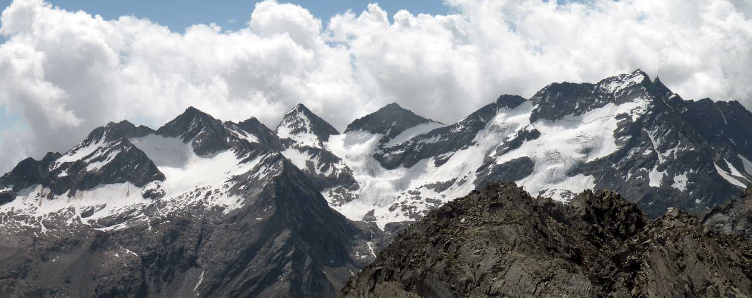
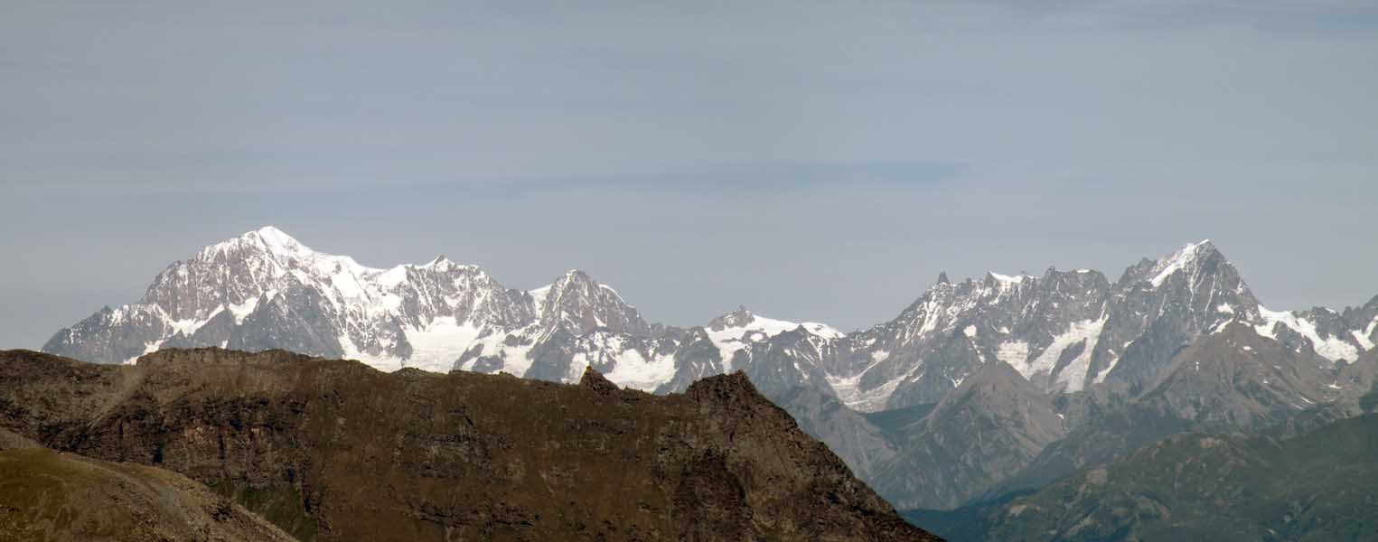
Salita faticosa ma remunerativa dal lato faunistico e paesaggiastico.
I bolli gialli sono moltissimi e sono stati ripristinati di recente.
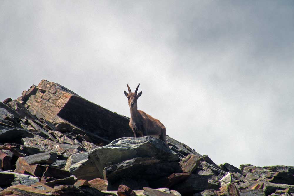
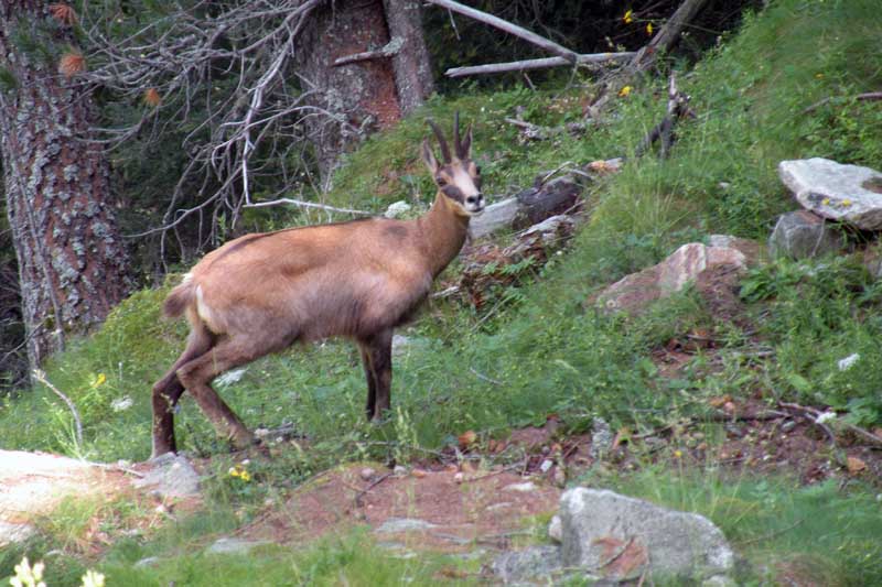
Avvistamenti faunistici: Capra ibex, Rupicapra rupicapraSalita faticosa ma remunerativa dal lato faunistico e paesaggiastico.
I bolli gialli sono moltissimi e sono stati ripristinati di recente.
Avvistamenti faunistici: Capra ibex, Rupicapra rupicapra




Comments (0)
Sign in to leave a comment