Punta Fetita, from Morges


Edited by:
Massimo Martini
Updated at: 11/02/2026
Access
Navigazione stradale
Lasciare l’autostrada al casello di Aosta Ovest e procedere per 950m (0,95km) seguendo le indicazioni per Sarre fino all’innesto con la strada statale della Valle d’Aosta. Immettersi sulla in direzione Courmayeur e proseguire per 18,4km (19,35km), attraversando e costeggiando gli abitati di Saint-Pierre, Villeneuve, Arvier, Avise e Derby, fino a raggiungere una rotatoria all’ingresso di La Salle. Alla rotatoria prendere la prima uscita e imboccare Via Corrado Gex, seguendo le indicazioni per il centro di La Salle. Proseguire per 350m (19,70km) e svoltare a sinistra su Via dei Romani. Dopo circa 150m (19,85km), alla biforcazione, svoltare a destra su Via Col Serena seguendo le indicazioni per Chaffieron – Morges. Risalire la strada comunale per 9,3km (29,15km), superando i villaggi di Chaffieron, Château, Vilarisson, Remondey e Cheverel, fino a raggiungere la località Morge, termine della strada asfaltata e punto di arrivo della navigazione.
Descrizione del parcheggio
Lungo la strada, nei pressi del villaggio di Morge si trovano tre parcheggi 🅿️ gratuiti. L'ultimo dei tre parcheggi costituisce il punto di partenza diretto dell’itinerario escursionistico.
Accesso con mezzi pubblici
Per raggiungere il punto di partenza dell’itinerario è necessario un mezzo privato, poiché la località di Morges non è servita da collegamenti diretti con i trasporti pubblici.
Distanza e tempo di percorrenza
🕒 Tempo di percorrenza: 34 minuti
📏 Distanza: 28,7km
Navigazione GPS
📍 Come arrivare con Google Maps
📍 Come arrivare con Apple Maps
ℹ️ Nota importante
Le indicazioni fornite sono state verificate alla data del rilievo dell’itinerario. Prima della partenza si consiglia di verificare possibili variazioni del percorso o delle condizioni stradali. Per informazioni aggiornate si raccomanda di consultare Google Maps o Apple Maps.
Introduction
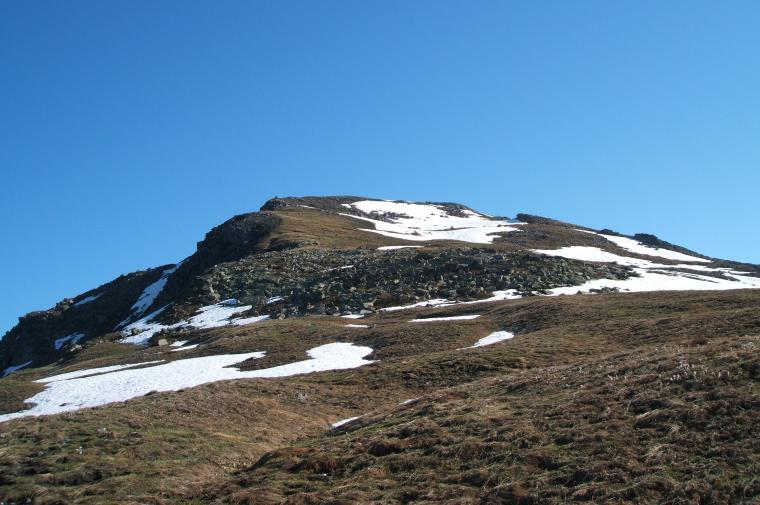
The Punta Fetita is a peak better known to ski mountaineers than to hikers, but this does not mean that it should be regarded as a lesser destination. The culminating point of the watershed between the central valley and the Vertosan valley, it becomes very attractive due to the variety of environments traversed and the panorama is not insignificant.
Description
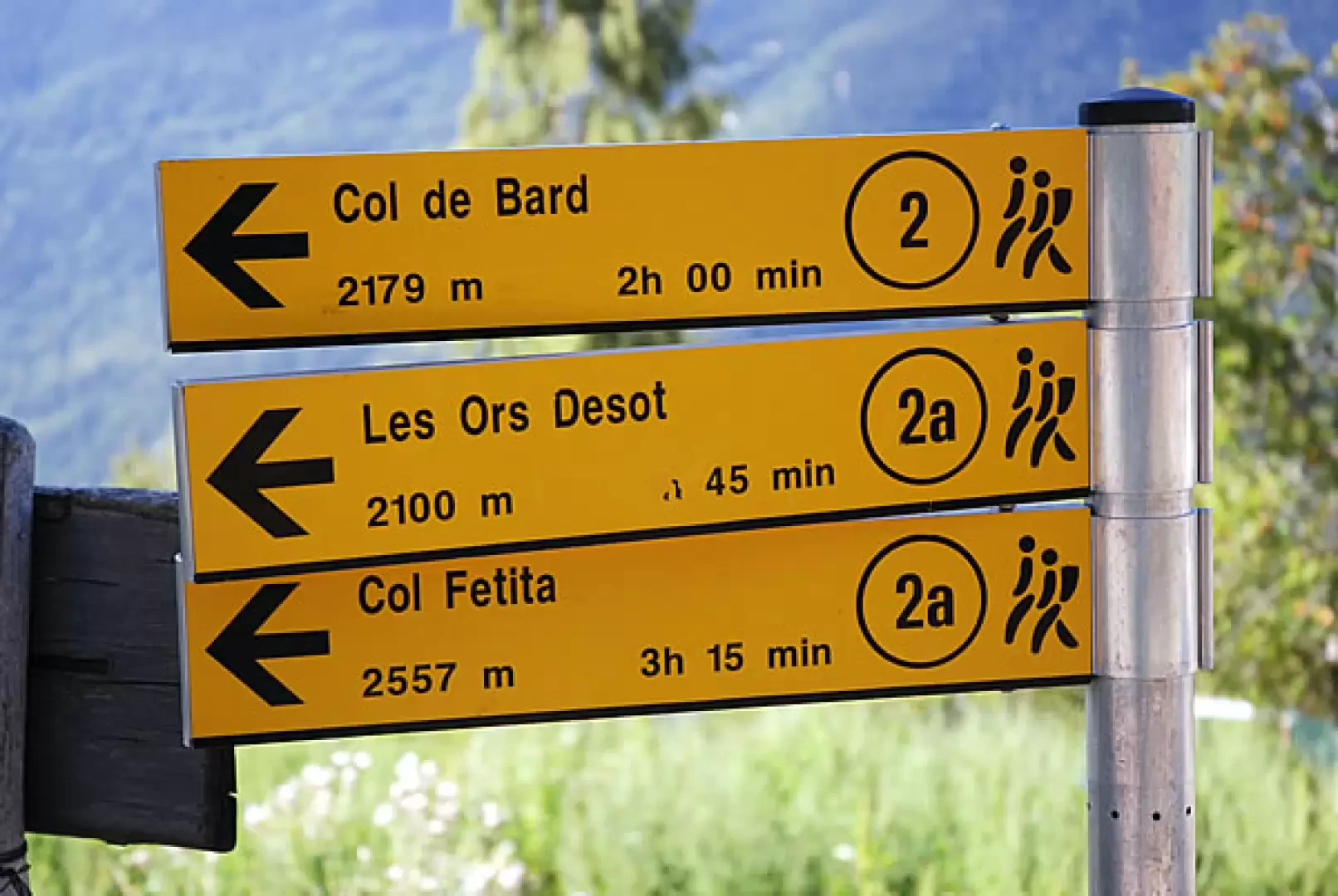
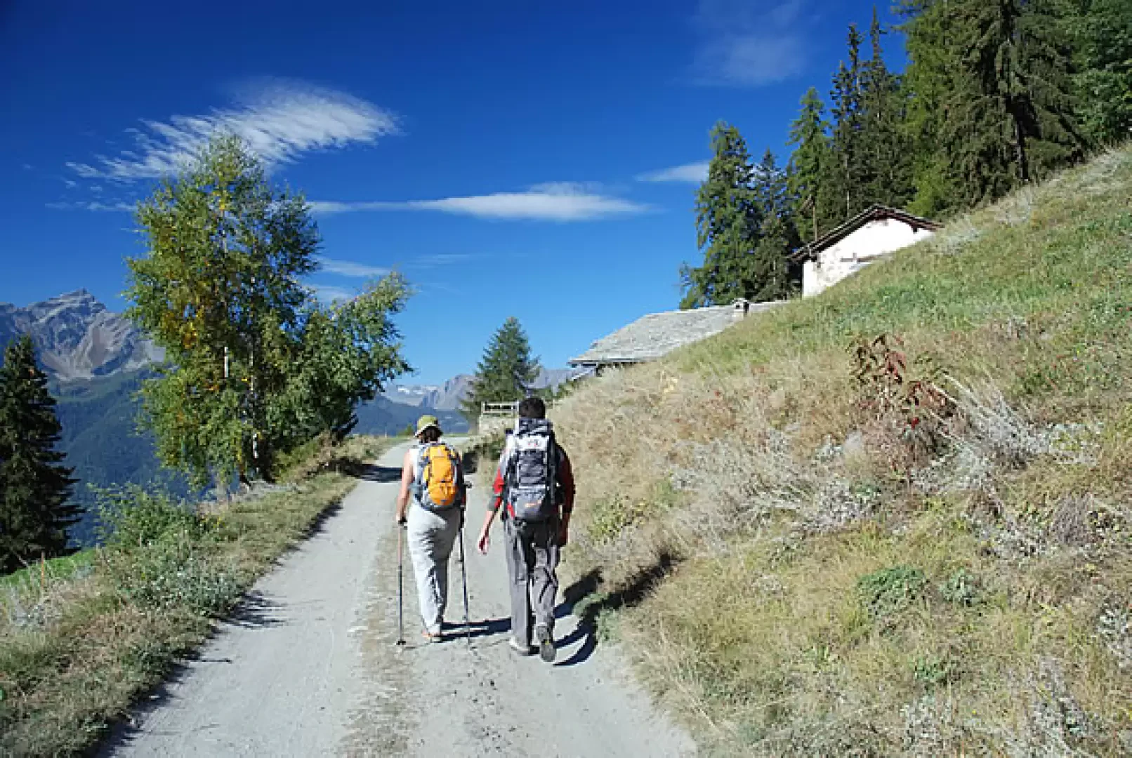
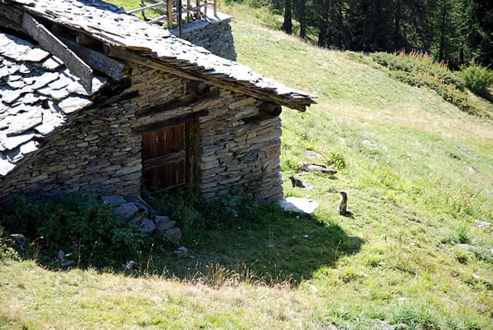
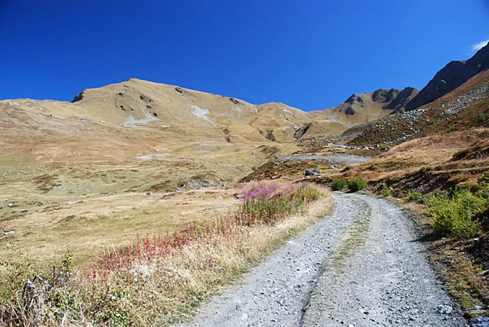
0h00' Leaving the car, you proceed along a small road that is paved in places, following the signs for Les Ors desot, signpost ; after a few hairpin bends, you enter the forest, reaching the cottages of Ponteilles (1741m, 0h15').
You continue on the track, immediately meeting a fork: continue straight ahead, ignoring the track to the right for Col de Bard, signpost
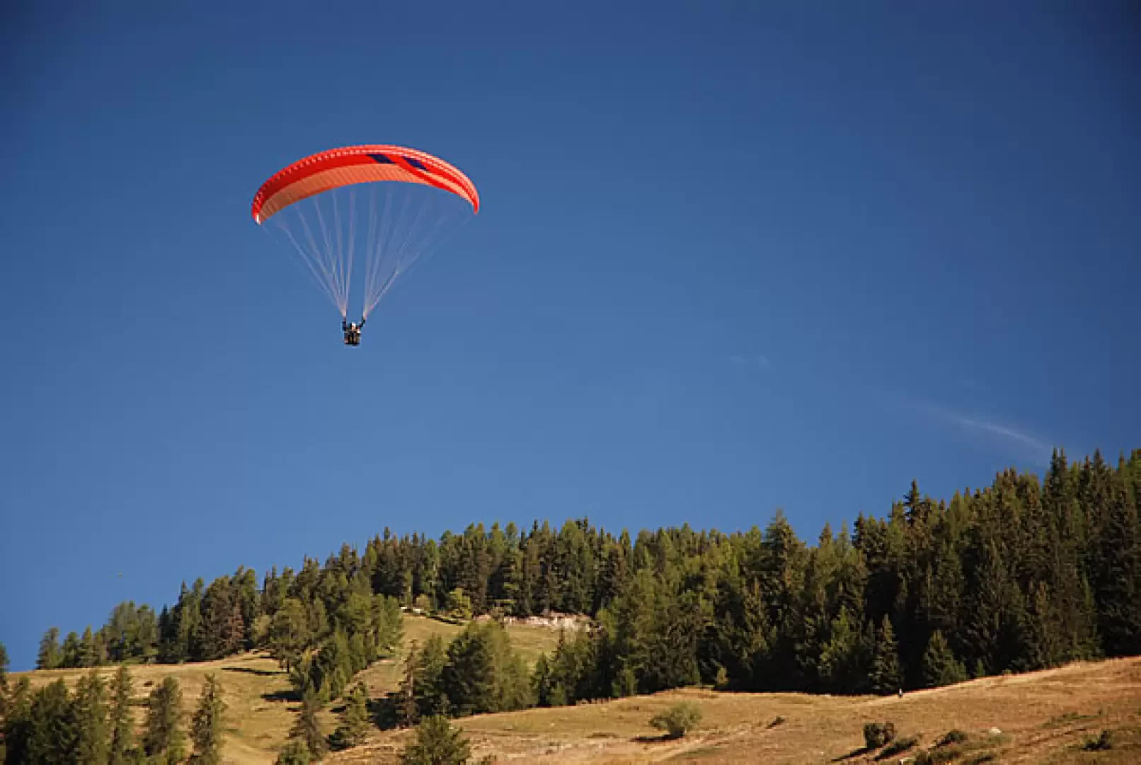
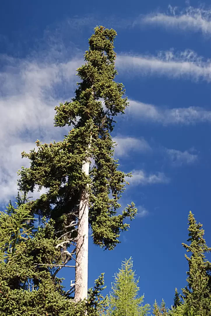
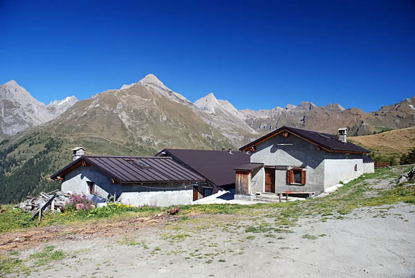
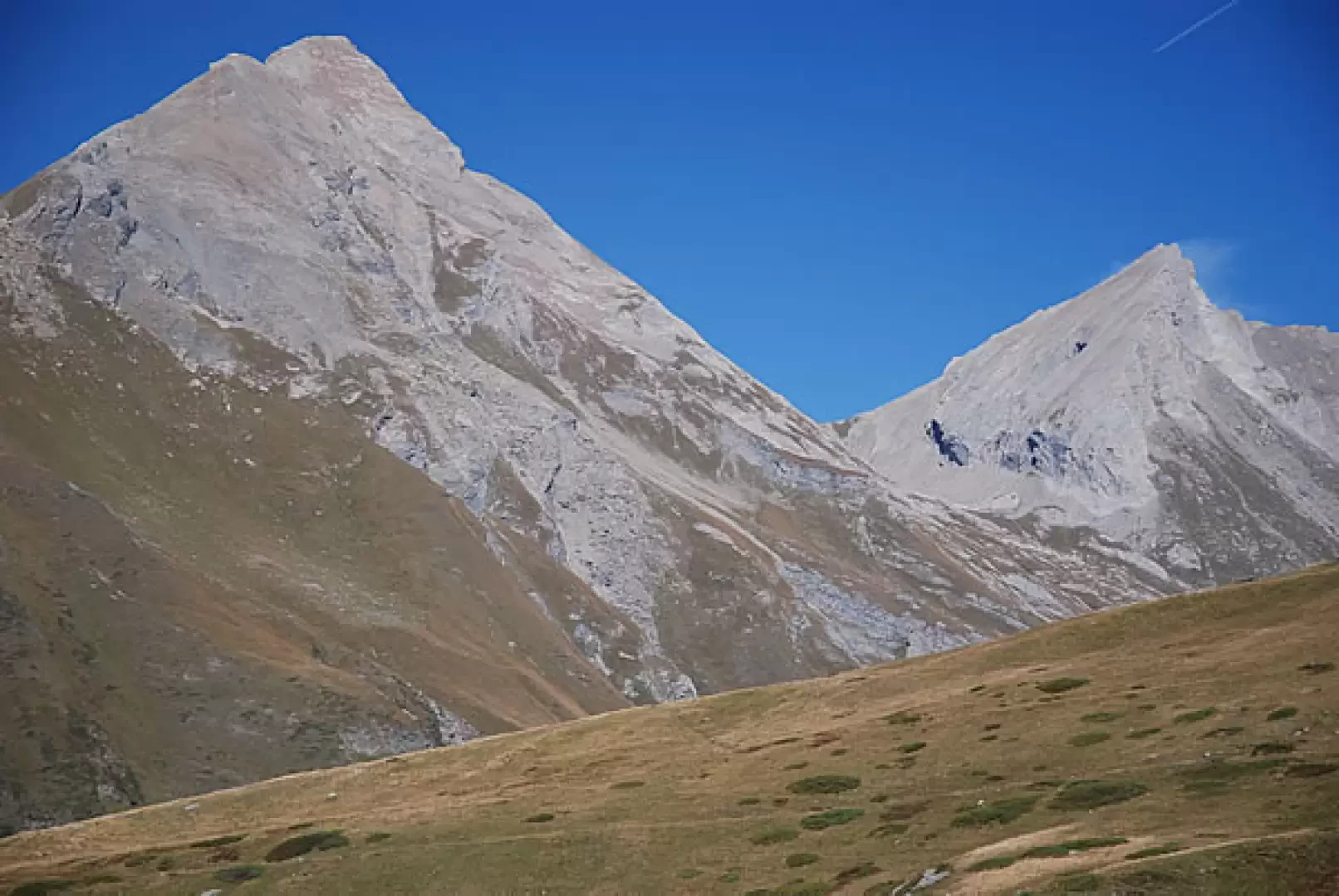
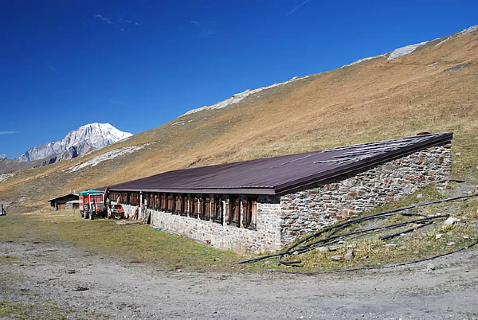
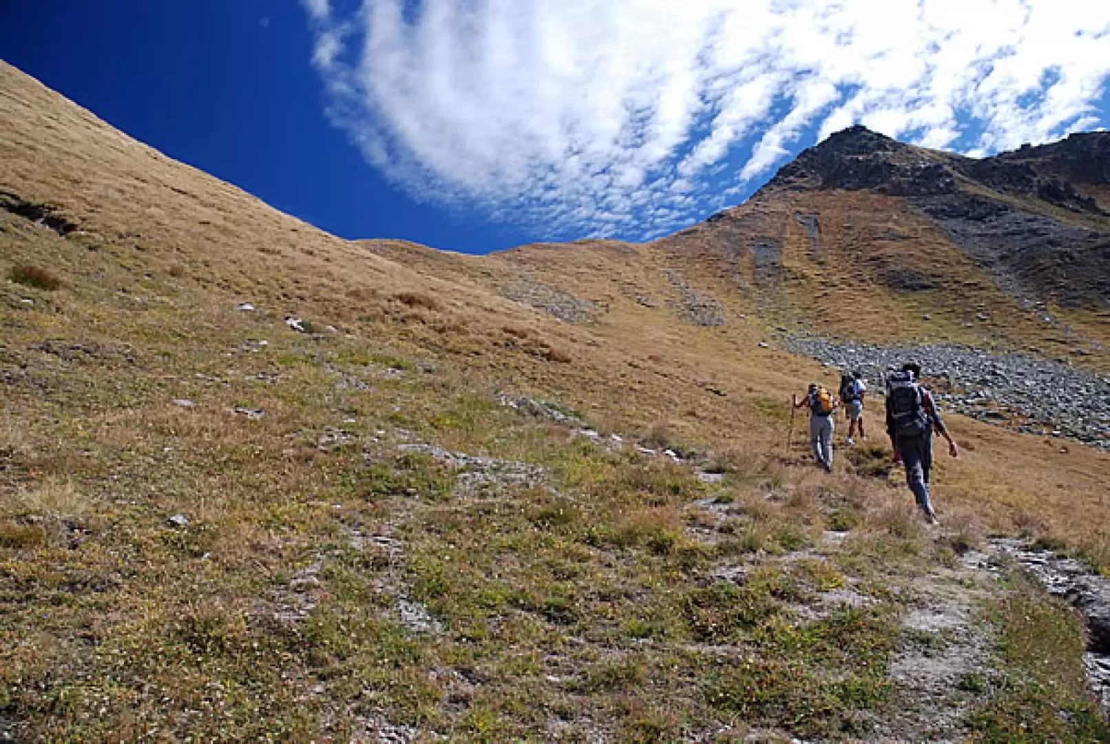
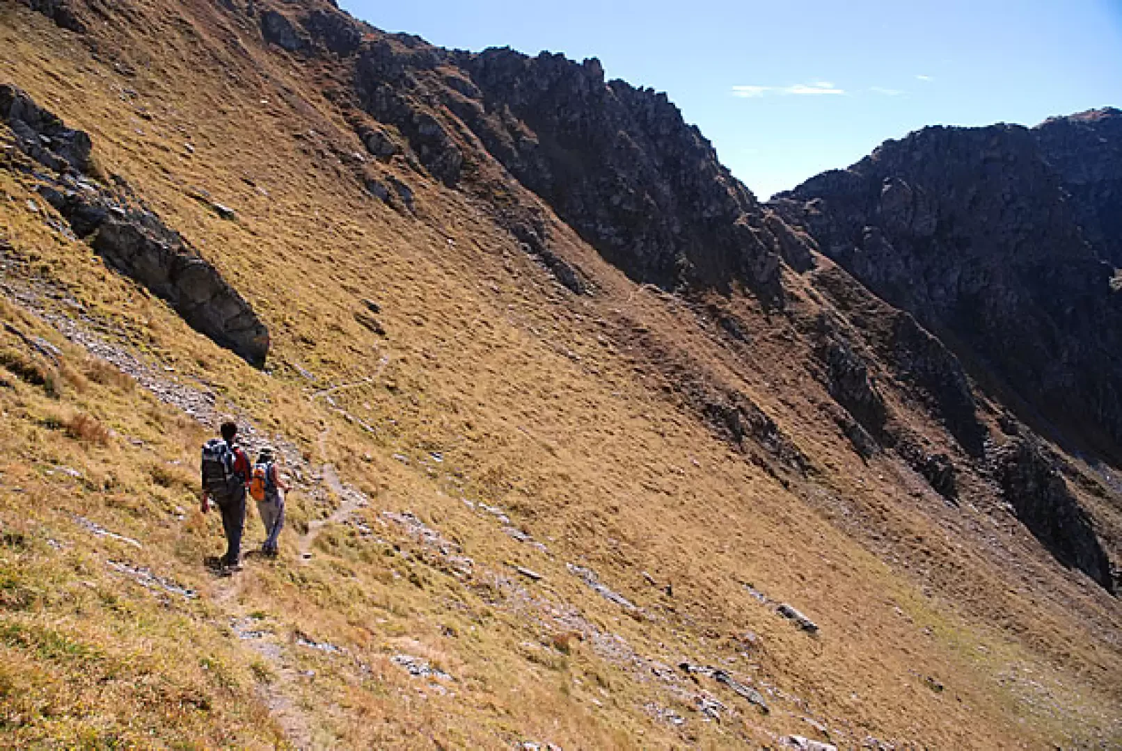
, which you will follow on the return journey. The route pleasantly crosses the meadowy ridge with a long, almost level stretch that skirts a 'departure point' for paragliding flights. At a hairpin bend, we turn right and begin to climb a little, shortly afterwards entering a wood of splendid spruce trees. After a few short hairpin bends, you exit the forest and reach the small scattered hamlet of Hôpitaux (2000m, 1h15'). Continue along the track following a couple of hairpin bends and soon reach the alpine pasture of Ors desot (2100m, 1h30'). Go past the alpine pasture and follow a little track that heads towards a small scrub of larch trees and then continue between junipers and rhododendrons until you come to a marker: follow the signs for Col Fetita, marker (3), and go up a short stretch of pasture, in the sight of the [[Grande Rochère]] and the [[Aiguille de Bonalex]], until you join the track again. The road initially heads towards the pass and then, turning to the left, reaches the beautiful alpine pasture complex of Tramail des Ors (2390m, 2h30'). Just before the alpine pasture starts the path to the pass, which proceeds diagonally to the right in the first section. The path crosses a small stream and leads towards the crest of the pass; the last stretch is climbed, with a few bends, and another marker is reached: continue for a short distance until reaching Col Fetita (2,557m, 2h 45').
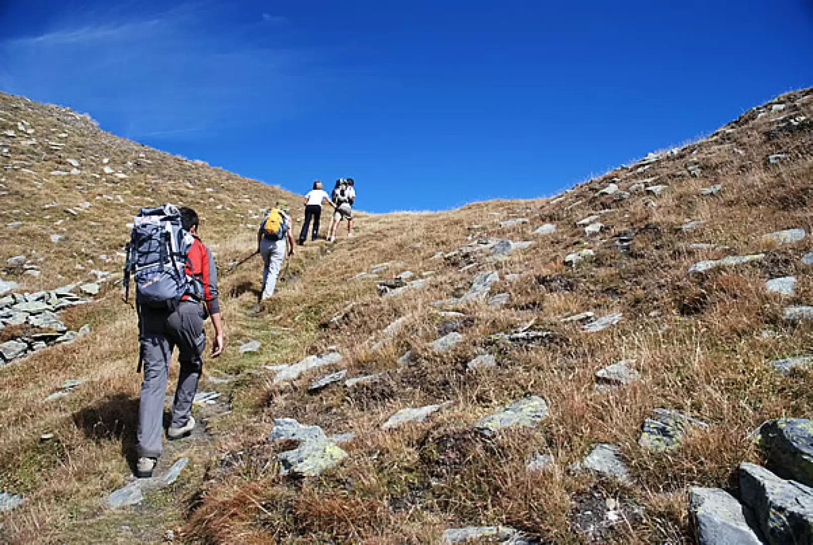
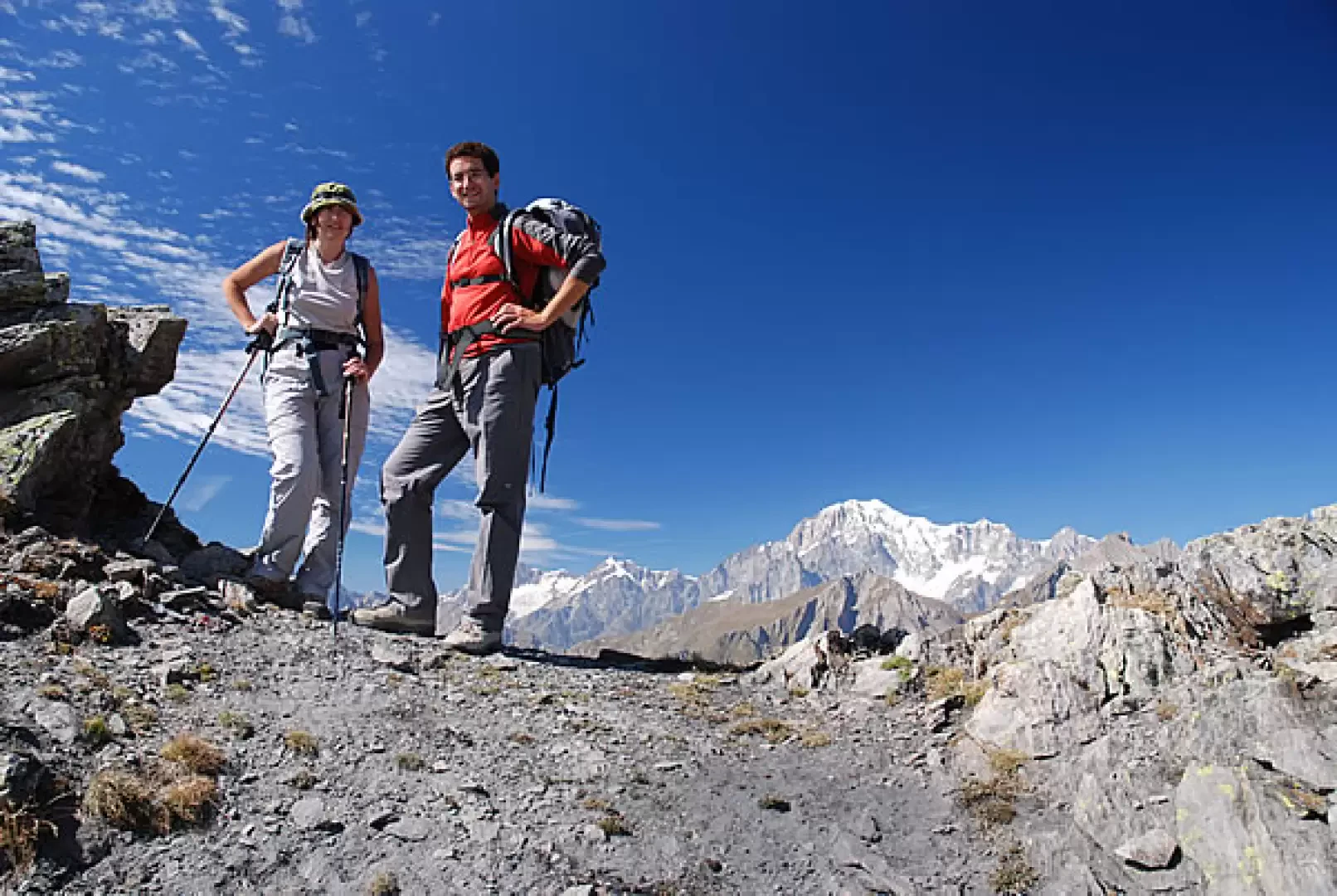
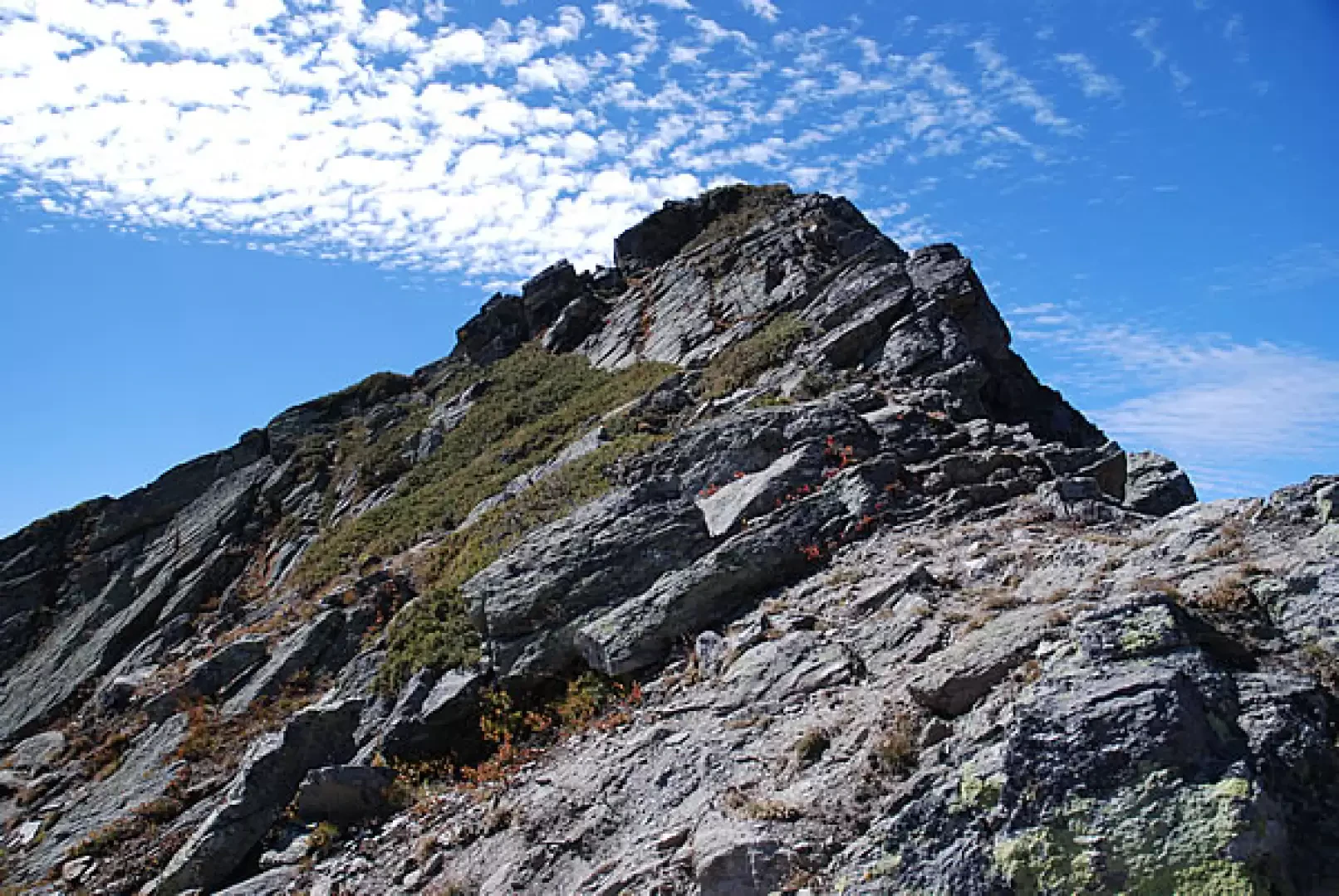
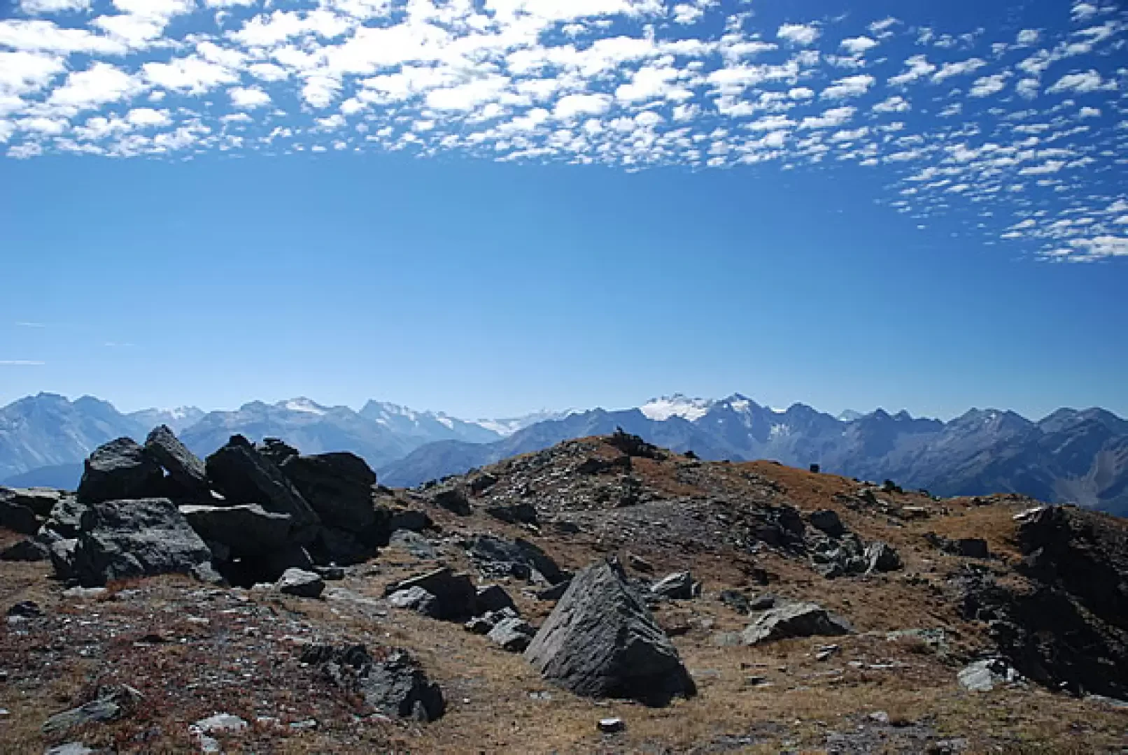
Return briefly to the marker and take the path to the left that cuts across the rocky ridge halfway up the mountainside; cross a short passage that is not easy and slightly exposed and reach a small crest. Continue along the ridge at first with a few uncomfortable passages and then increasingly broader and easier until you reach the cairn that marks the summit of Pointe Fetita (2623 m, 3h00').
The descent can be made along the outward route (2h00') or you can descend the south-east "ridge" to the Col de Bard and from the col descend along the beautiful path to Arpilles: from here continue along the track until you reach the little road you took on the outward journey, turn left and retrace your steps back to the starting point (2h00').
Galleria fotografica
We have been there

Edited by:
Silvia Quaglino
Punta Fetita
non si tocca quasi più neve, a parte un piccolo nevaio sul pianoro, sopra il colle di bard e prima della cresta che porta alla fetita. la fascia rocciosa a circa metà del pendio finale è priva di neve. neve in vetta al mattino presto la neve teneva ancora bene. avvistata una volpe e delle marmotte Ci sono stato!- Consulta le altre gite su questa meta
- Consulta le altre gite di Silvia Quaglino