Chalet de l'Epée refuge, from Surrier

Edited by:
Massimo Martini
Updated at: 04/05/2025
Access
From the motorway barrier at Aosta-West, keep left and follow the signs for Aosta - Saint-Pierre. After one kilometre, at the roundabout, take the second exit to join the Strada Statale . Continue for 4.3 kilometres, passing the village of Saint-Pierre, until you reach a roundabout with the Gran Paradiso National Park sign. Take the first exit and continue on the for another 4.2 kilometres until reaching Arvier and the roundabout dedicated to cyclist Maurice Garin. Take the second exit and continue on Via Corrado Gex to Leverogne, one kilometre away. At the fork, keep left and take the Regional Road . Climb for 15.8 kilometres, passing the main town of Valgrisenche, until you reach the village of Bonne. From here, continue on the narrow municipal road for another 5.9 kilometres, climbing the valley on the orographic left until reaching, after a short descent, the 🅿️a pay car park in Surrier, where you can leave your car.
[0h50'] - [31.9km]
How to get there with GMaps
How to get there with Apple Maps
The directions provided have been carefully checked as of the date the route was surveyed. However, it is highly recommended to check for any changes that may have occurred since then, especially regarding the route to the starting point. Before embarking on your journey, it is advisable to consult up-to-date navigation tools for accurate and up-to-date directions. We recommend the use of satellite navigation apps, such as Google Maps or Apple Maps, to ensure the most accurate and safe route.
Description
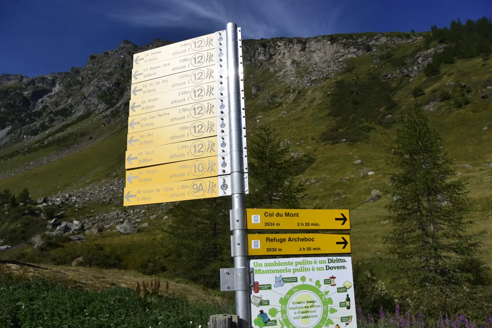
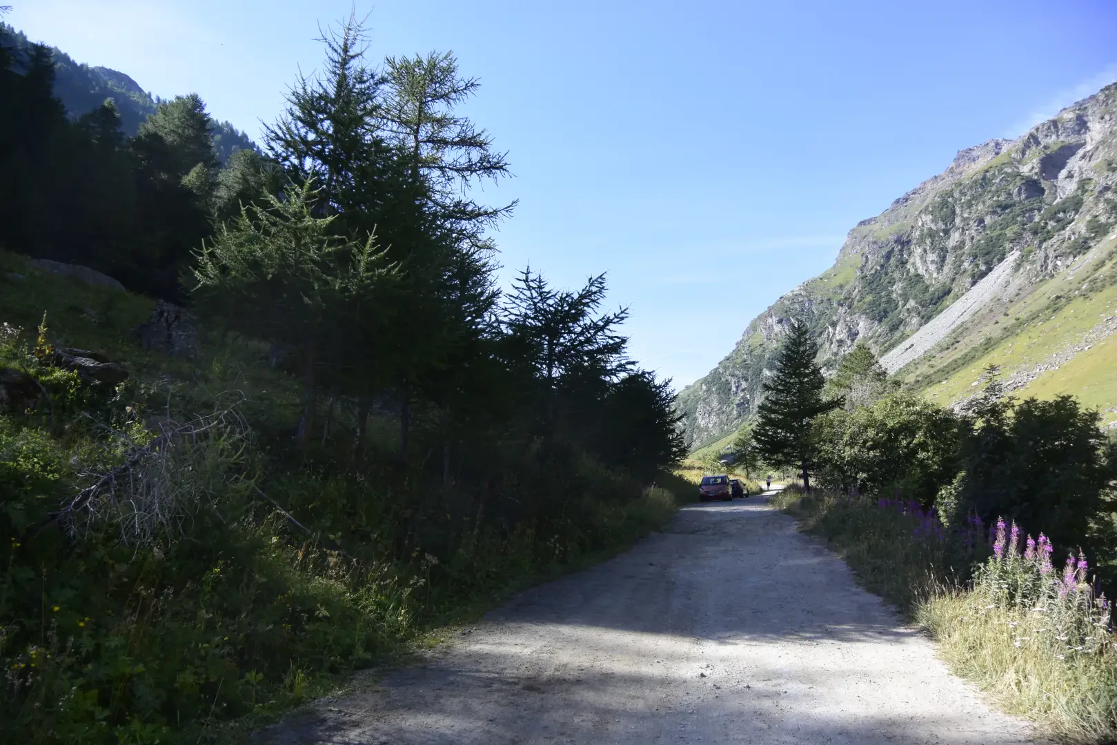
0h00' 0.00km From the car park, descend briefly along the tarmac road until you reach the signpost indicating all the routes in the area. Take the dirt road on the right, passing by the "Il Chiosco" refreshment stand, known for its excellent bar service. Continue along the dirt road uphill until you come to a crossroads.
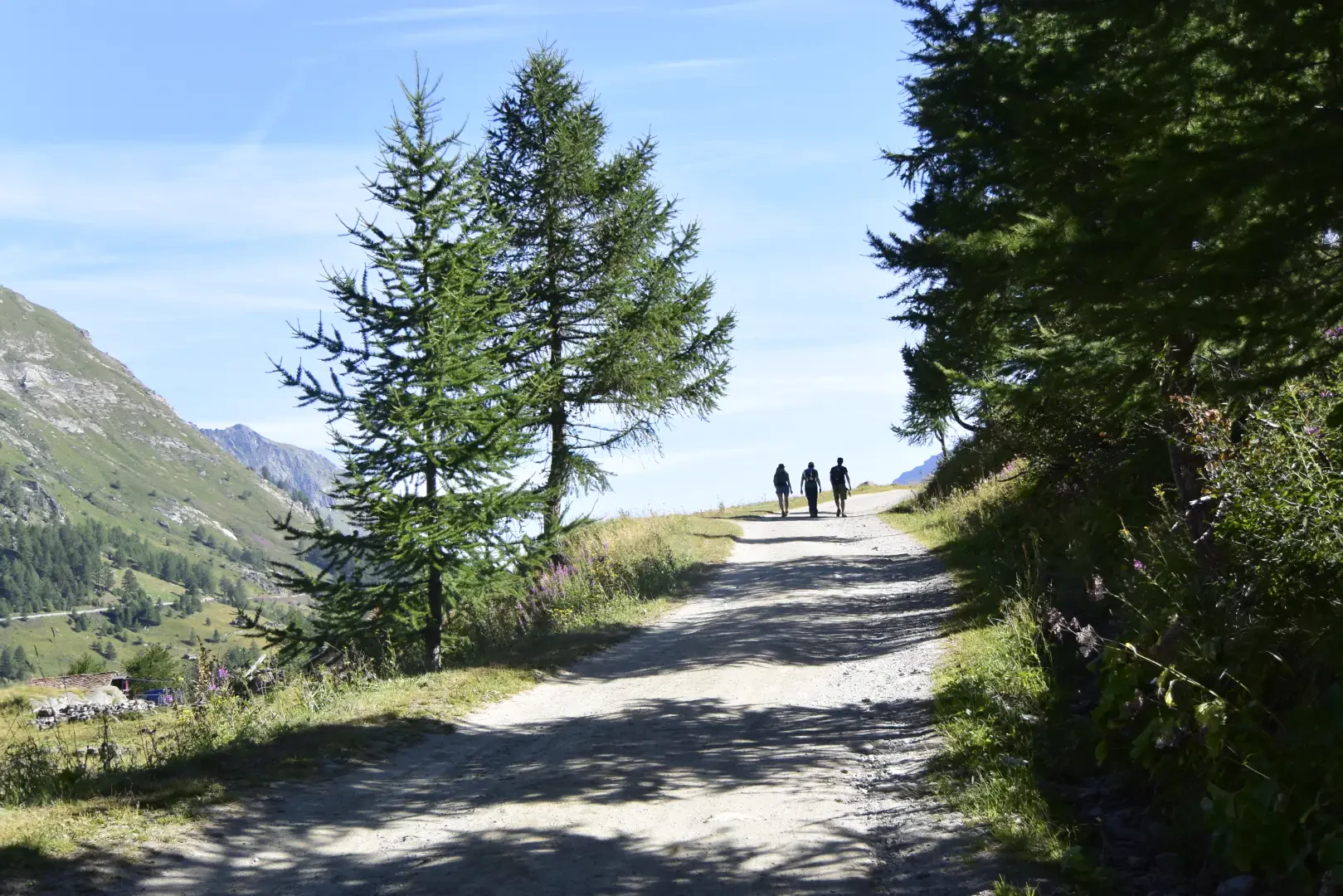
0h15' 0.62km Turn left and continue along the farm track entering the larch wood, passing above the Truche mountain pasture (1885m) and soon reaching a crossroads.
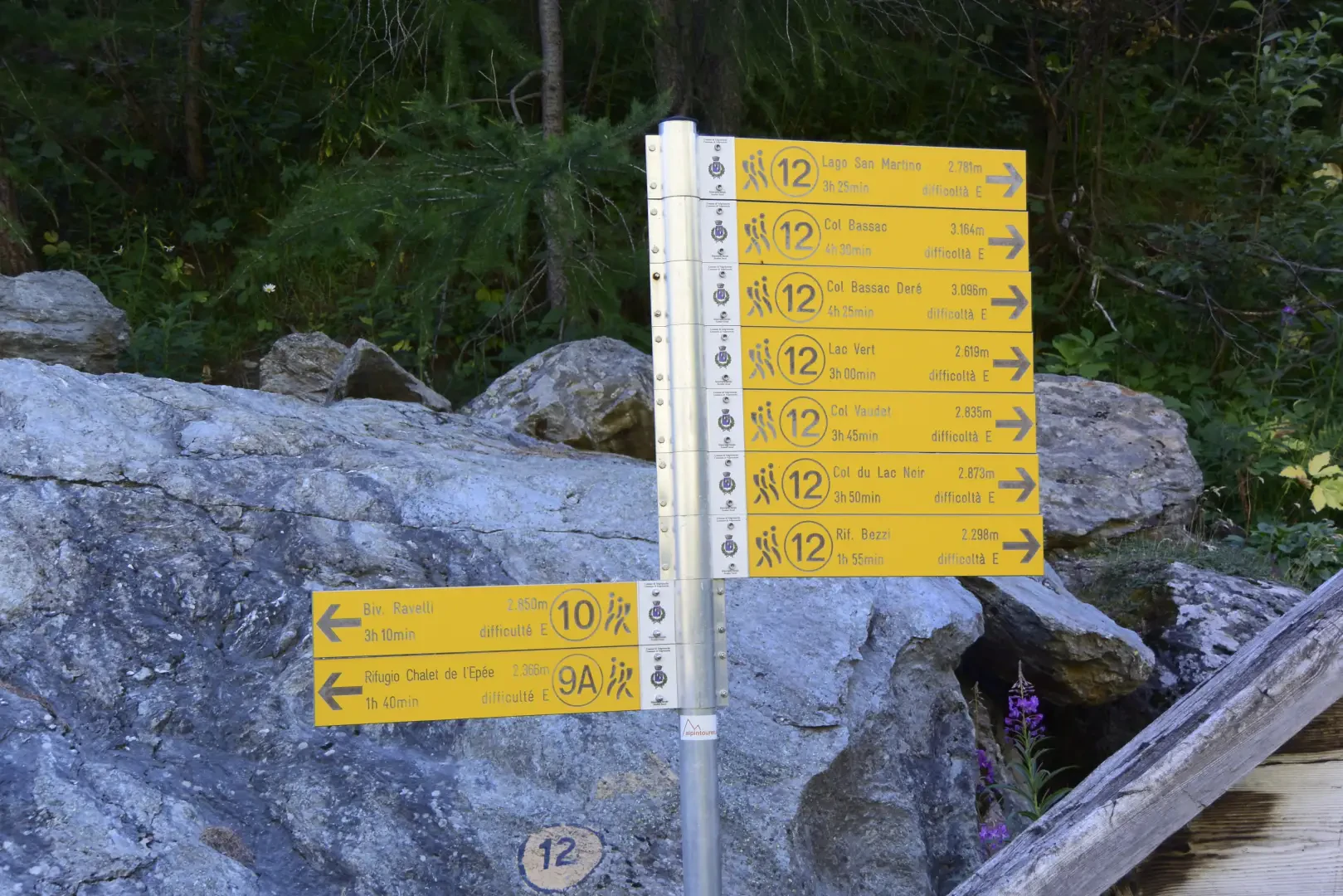
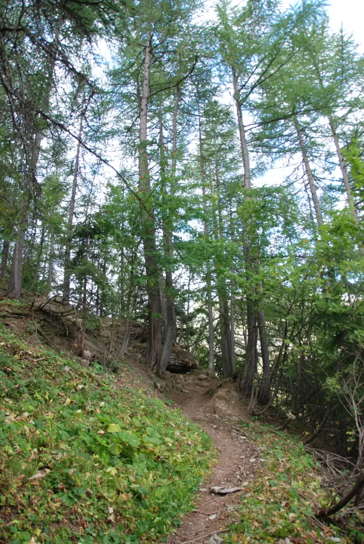
0h23' 0.97km Disregard the diversions to the left to Truche and continue straight on along the road that enters the Bois de Truche with its spectacular larch trees (Larix decidua) and soon reach the fork to the Arolla mountain pasture (1909m ).
0h33' 1.42km Disregard the small road to the left for Arolla and continue for about 100 metres until you come to a signpost.
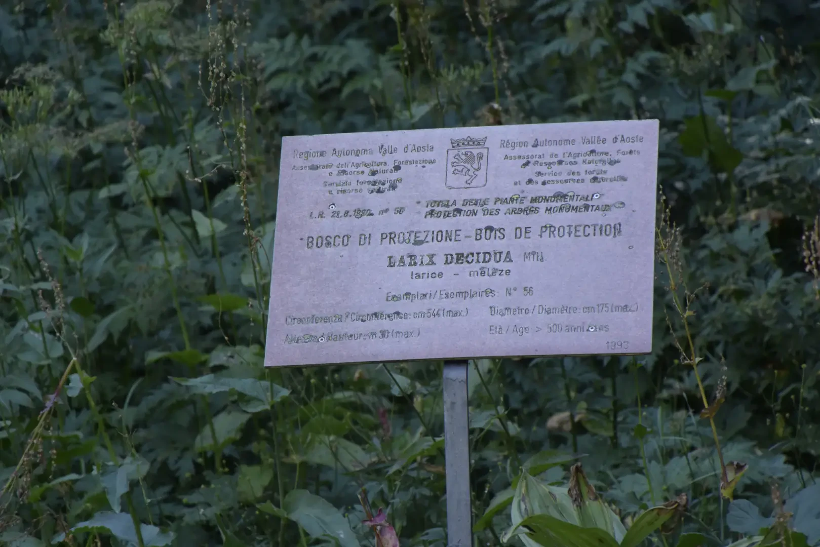
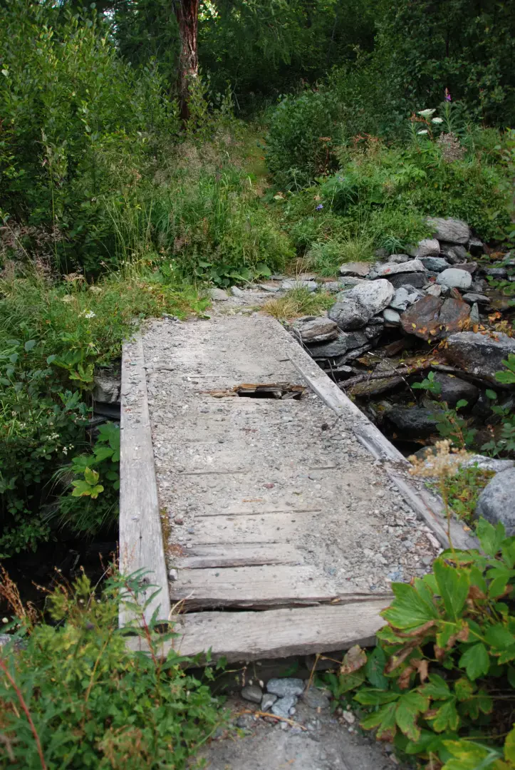
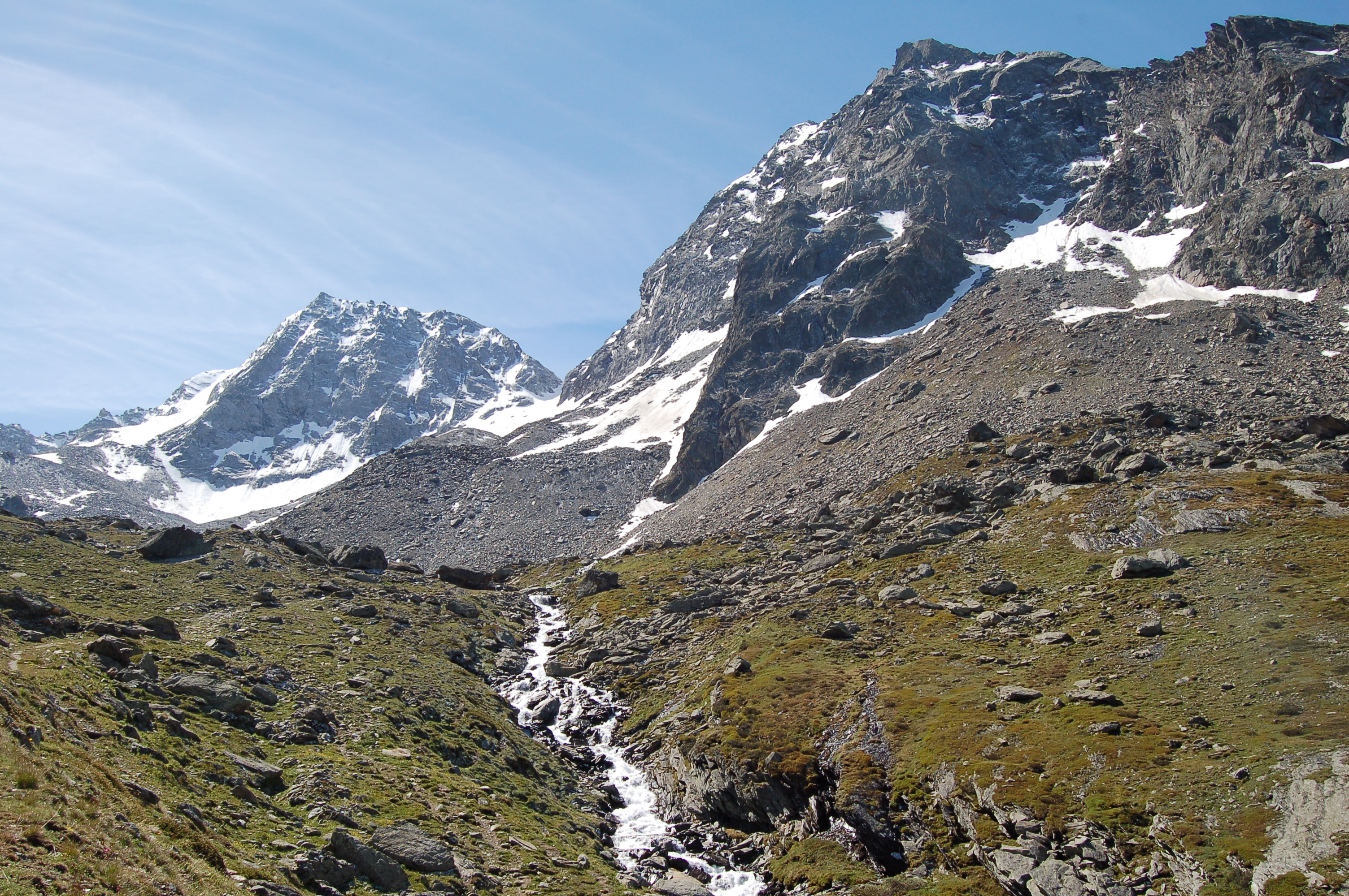
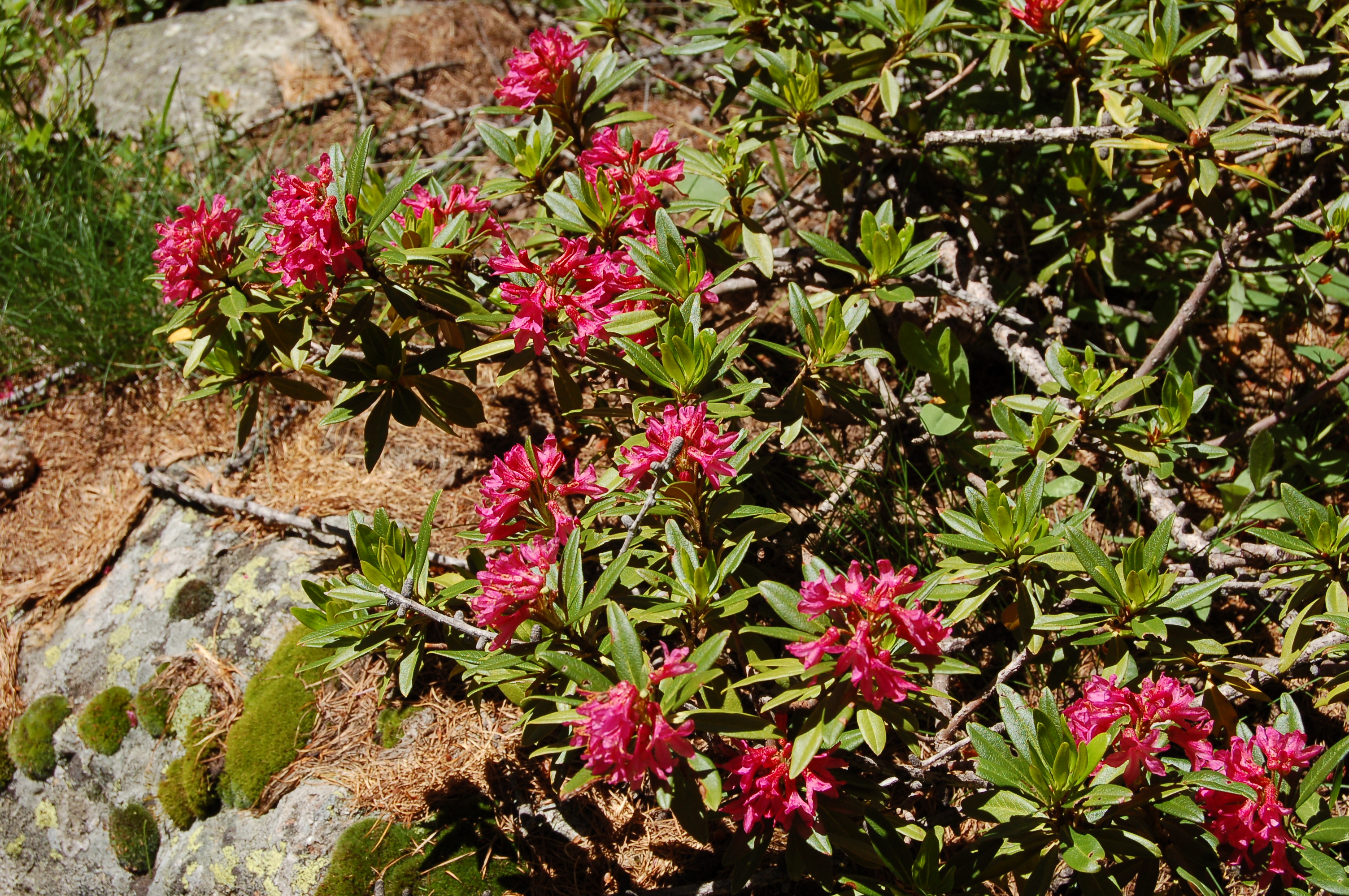
0h35' 1.53km Take the path to the right that begins to climb among centuries-old larches, some of which are marked with a "monumental tree" sign. A series of wide bends, with a constant slope, lead to the entrance of the Vallon de l'Invergnan, where a diagonal trail enters along the orographic left flank, amidst rhododendron and bilberry bushes. You come out onto a nice plateau and, after crossing the bridge over the stream, reach the huts of the Alpe di Mont Forciaz (2,181m).
1h20' 2.88km
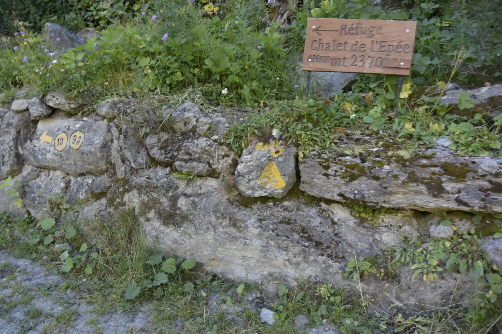
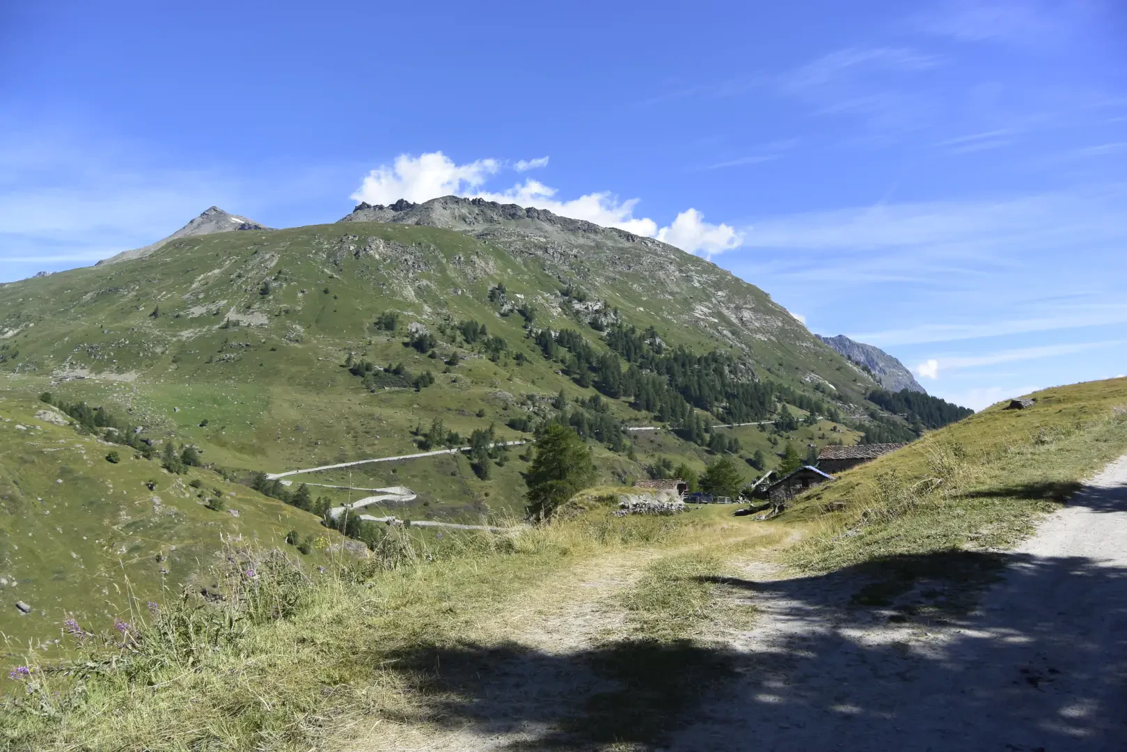
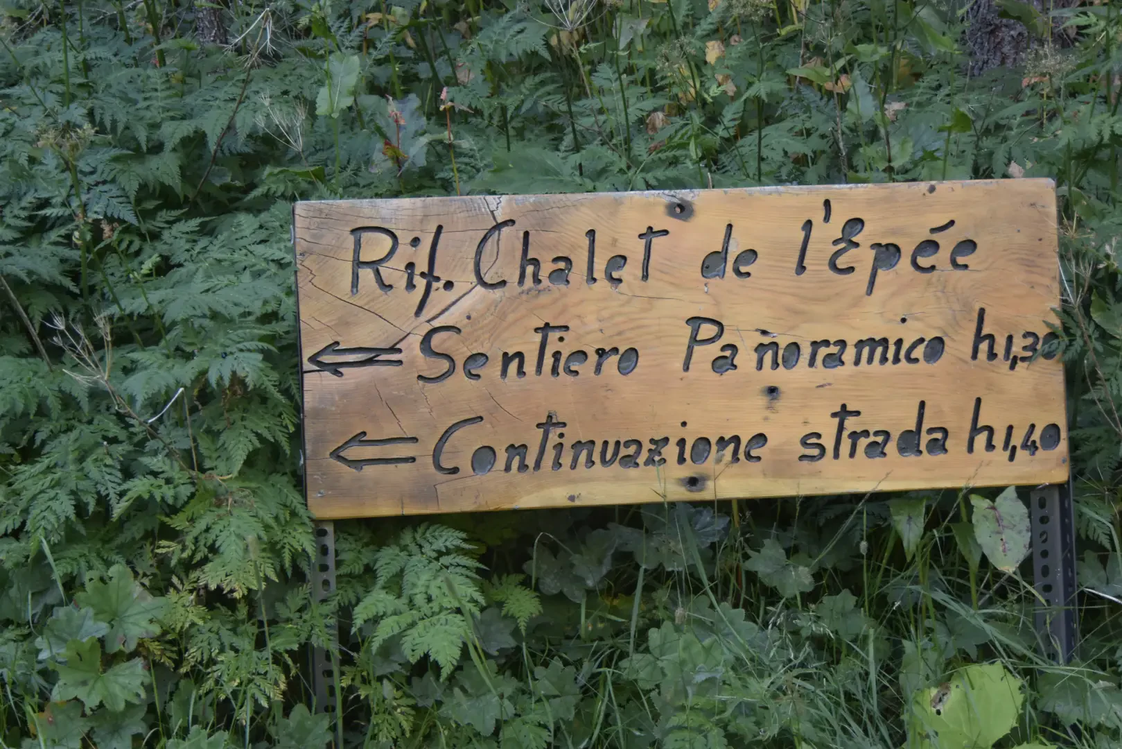
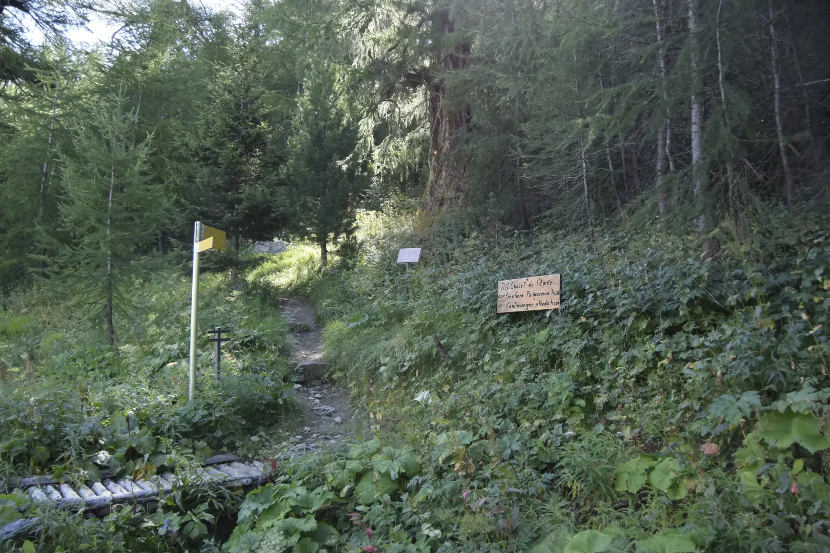
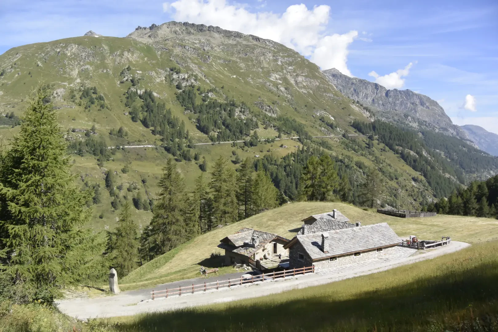
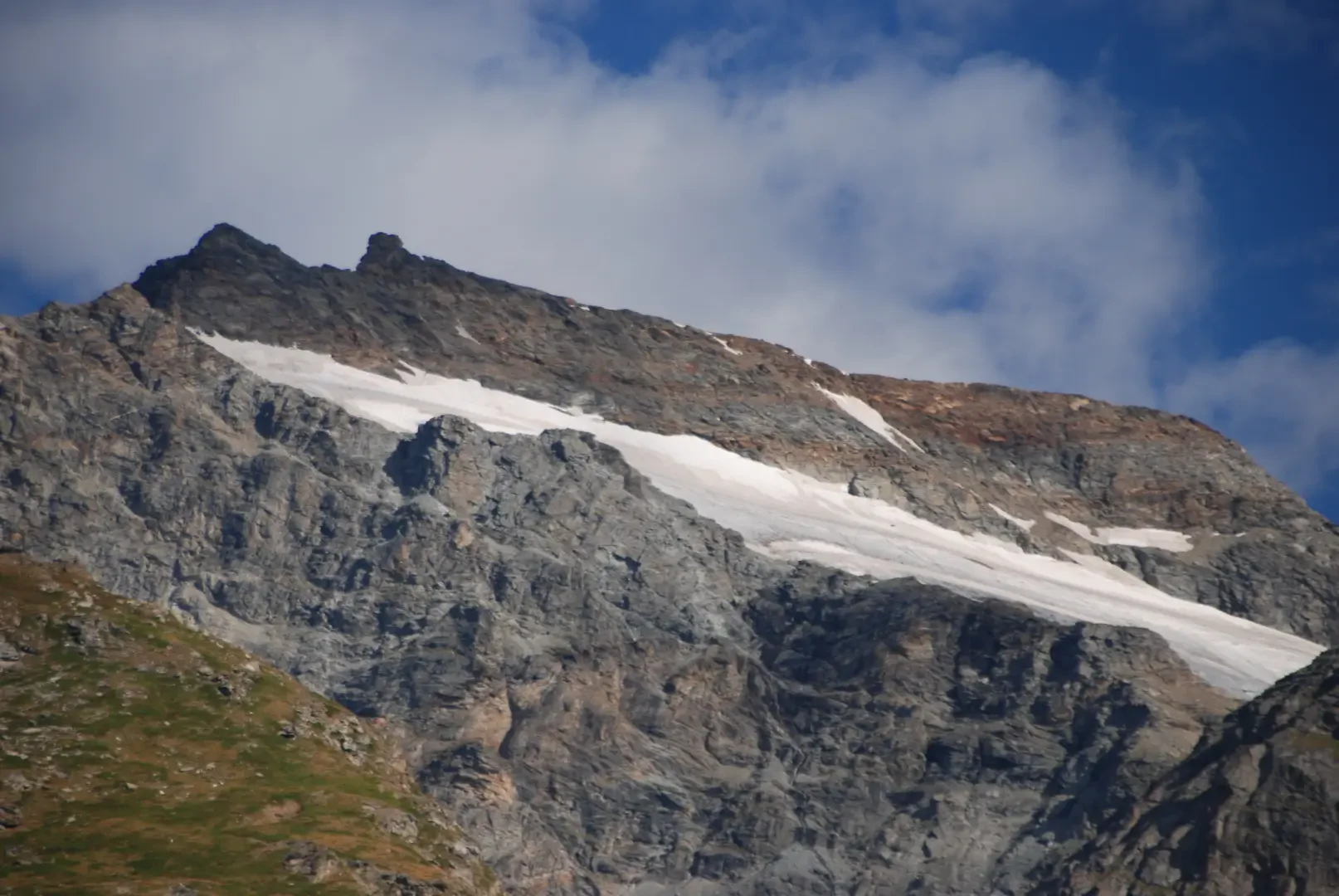
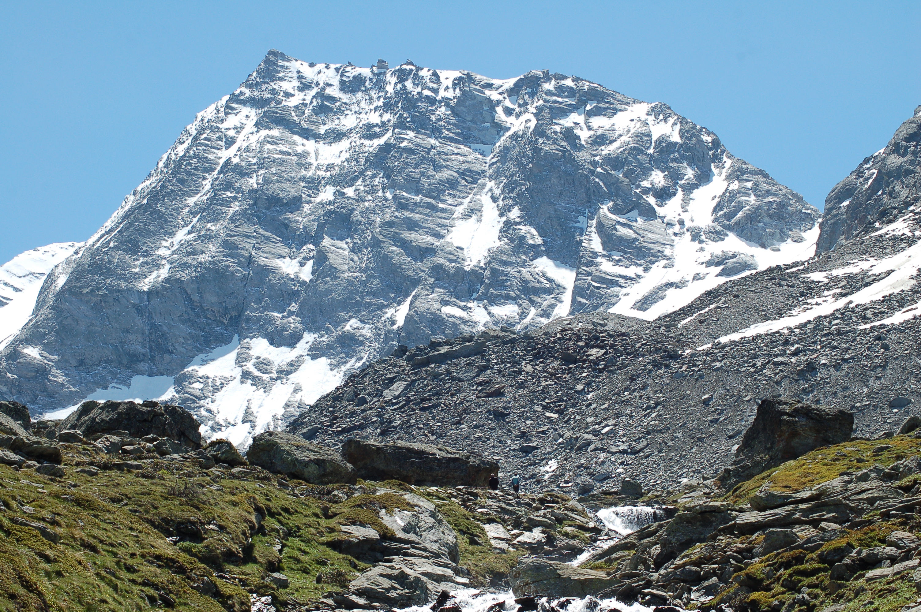
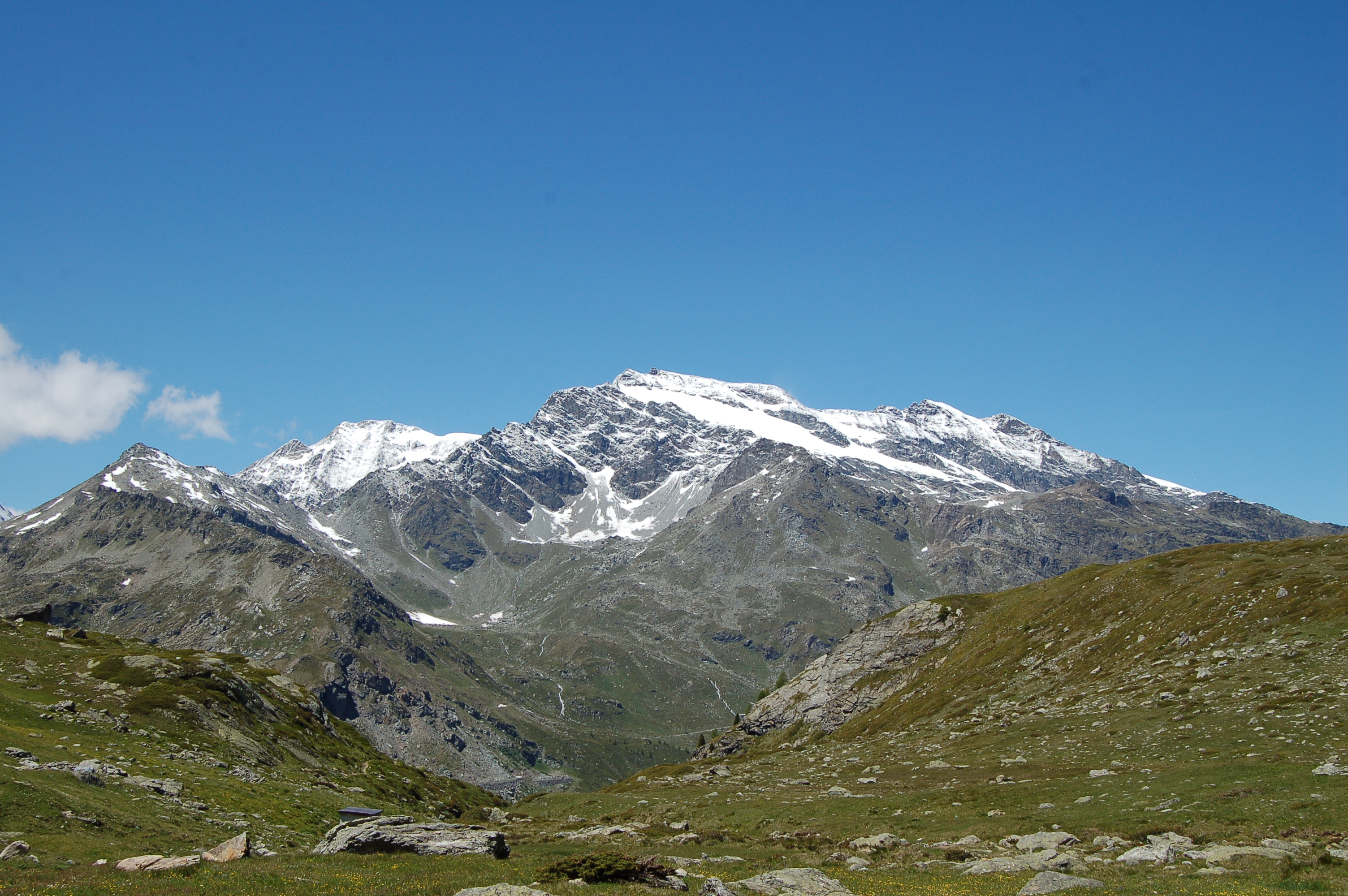
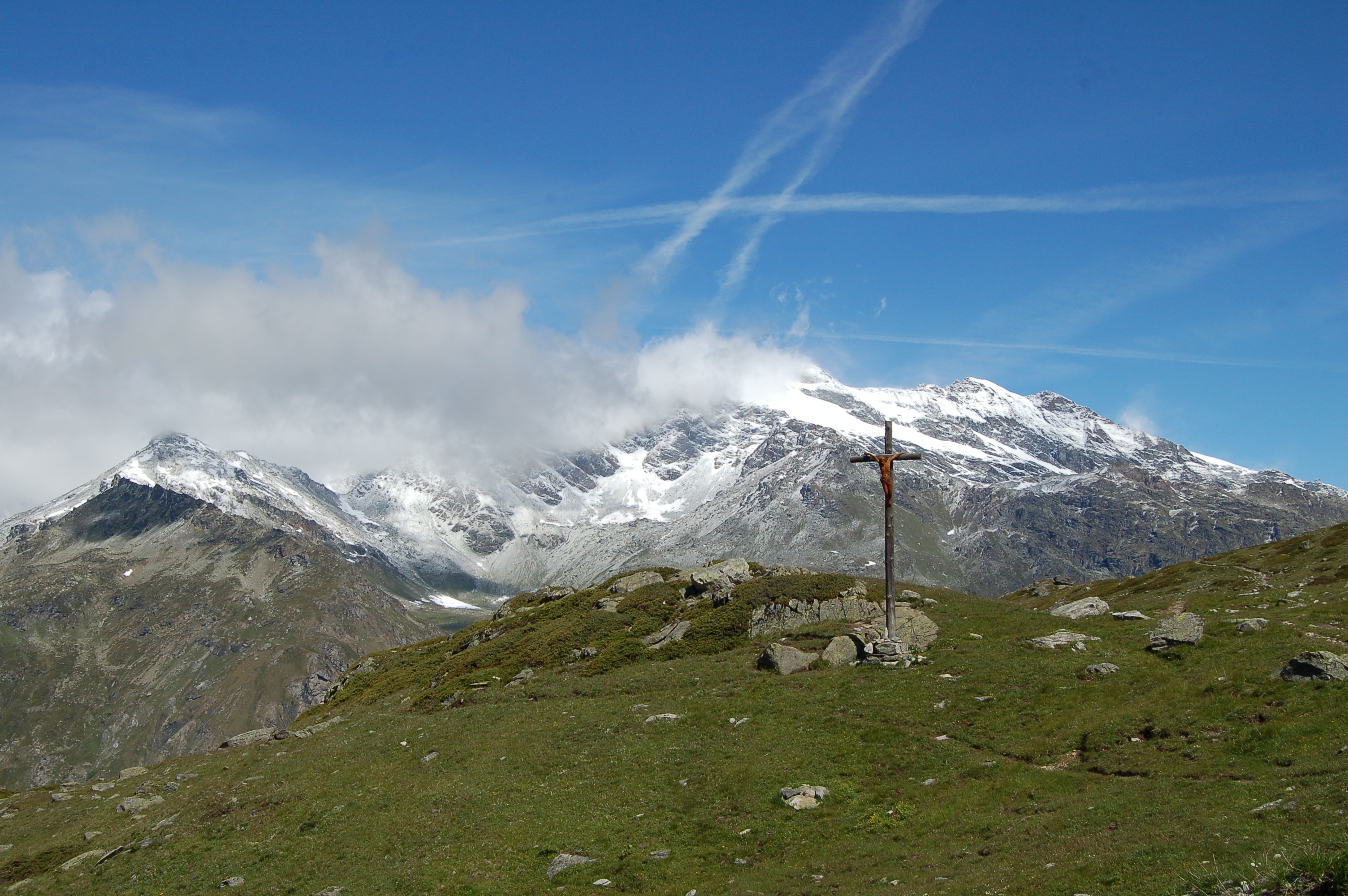
Leave the signpost directed to the Bivacco Ravelli and follow the dirt track that leads to the mountain pasture. After a few metres, the path rises up to the right, still signposted diagonally across the meadowy slope with shrubs. After a short but steep slope, you join the transverse path that connects the Bezzi and Chalet de l'Epée huts. Follow it to the left and climb over the flat ridge of Mont Forciaz, with wide views of the opposite side of Valgrisenche, in particular Mont Ormelune, Col du Mont and Ruitor . After crossing the short ledge at the edge of the scree slope, you come out onto the dirt track marked opposite Alpe Epée. Follow the path to the right slightly uphill to the Chalet de l'Epée hut (2,373m, ).
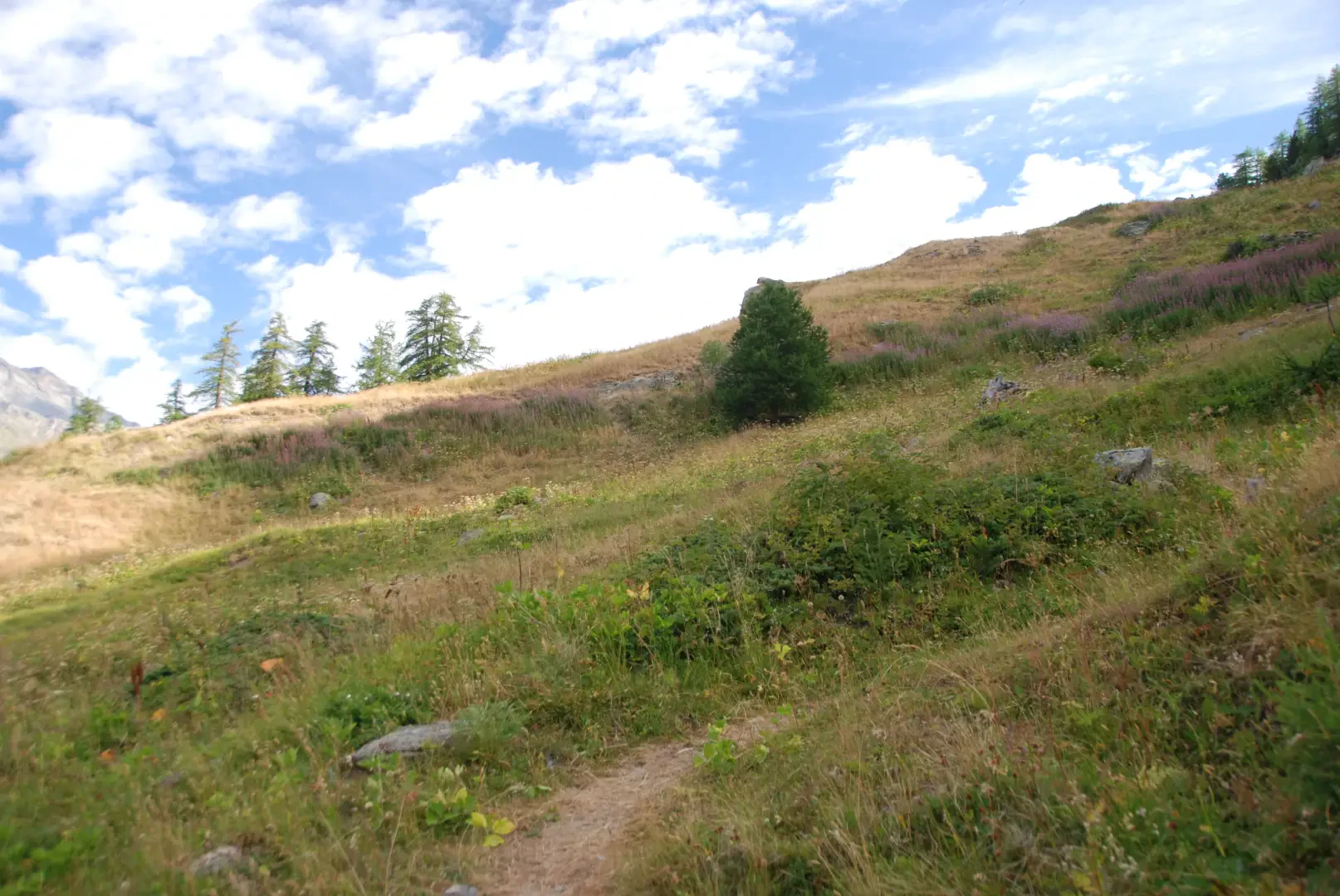
Follow the path a few metres back and, just past the Torrent de Bouque impluvium, turn right onto a track in the meadows that passes behind the alpeggi de l'Epée, and enters the narrow passage between a hillock and the stream. A little further on, it reaches the farm track and takes a hairpin bend, to take the path to the right that descends to cross the road twice and passes in front of the abandoned houses of the Alpe Nouva (2160m). Continue on an uncertain path through the pastures, cross the road below again and reach it near a hairpin bend. From here, the trail turns left again, crosses two streams among the alders and enters the coniferous forest. This is followed by two road crossings, in which a few tens of metres are covered on gravel, still heading towards the valley. In view of the impetuous Torrent de Mont Forciaz, close to a fence, the last stretch of mule track branches off to the right and, with a series of twists and turns, descends to the asphalt road. A few hundred metres to the left lead to Usellières (1788m ).
.Points of Interest
Collections
- hikes departing from the Surrier car park - on the map
- hikes to the Valgrisenche huts - on the map
- hiking in Valgrisenche - on the map
- hiking to refuges in the Aosta Valley - on the map
Galleria fotografica
We have been there

Edited by:
Ivo Giansetto
Rifugio Chalet de l'Epée
Giornata di festa per i rifugi oggi con parecchie persone che hanno approfittato dell'occasione per salire al rifugio dovce sono stati accolti, come sempre, molto bene dai gestori. Il vento molto forte, la temperatura non da inizio estate e ancora qualche nevaio hanno impedito la salita al Col Fénetre.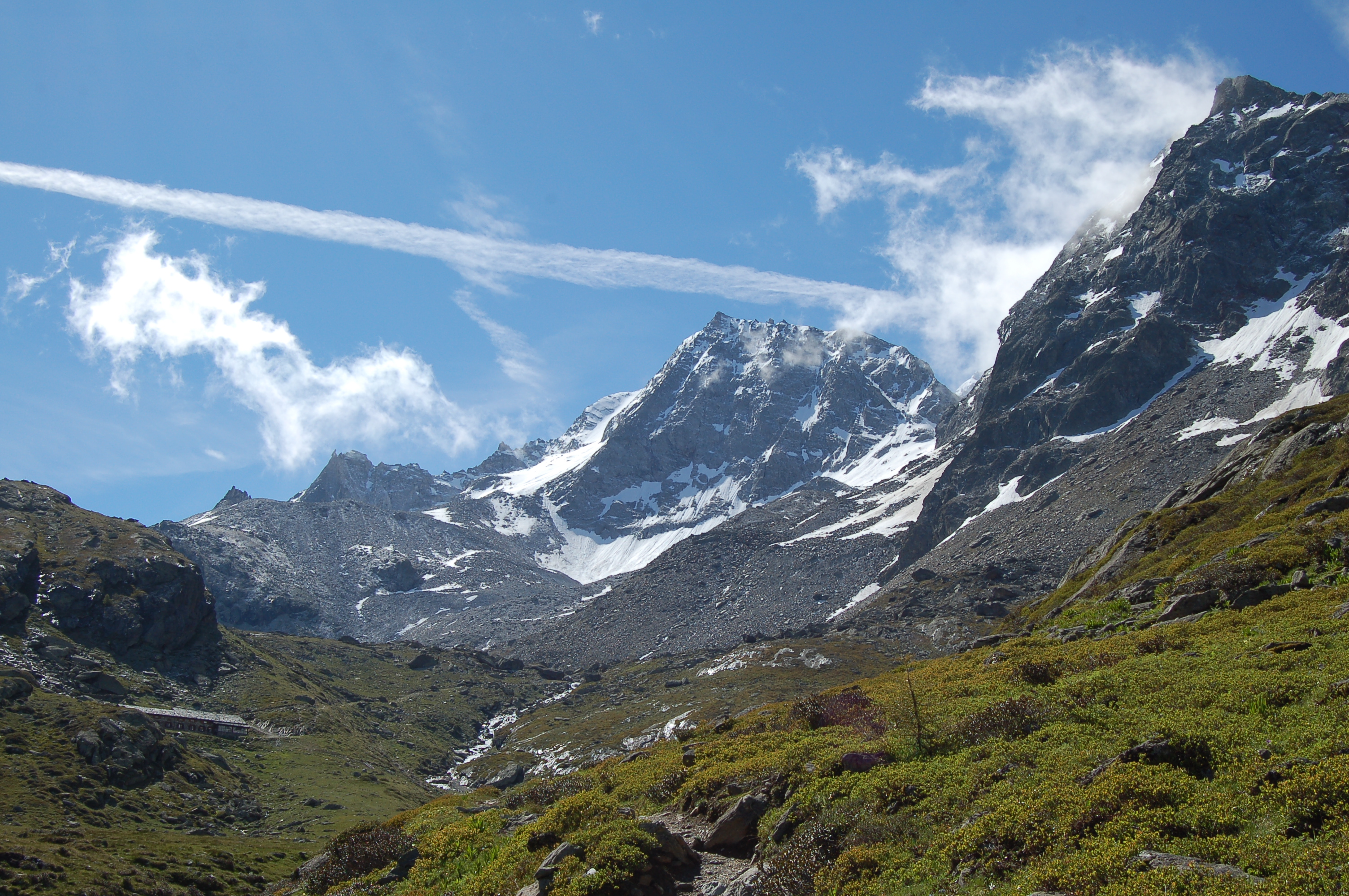


Edited by:
Ivo Giansetto
Rifugio Chalet de l'Epée
Giornata di festa per i rifugi oggi con parecchie persone che hanno approfittato dell'occasione per salire al rifugio dovce sono stati accolti, come sempre, molto bene dai gestori. Il vento molto forte, la temperatura non da inizio estate e ancora qualche nevaio hanno impedito la salita al Col Fénetre.Giornata di festa per i rifugi oggi con parecchie persone che hanno approfittato dell'occasione per salire al rifugio dovce sono stati accolti, come sempre, molto bene dai gestori. Il vento molto forte, la temperatura non da inizio estate e ancora qualche nevaio hanno impedito la salita al Col Fénetre.


Edited by:
Massimo Martini