Prarayer Refuge, from Place Moulin


Edited by:
Massimo Martini
Updated at: 27/11/2025
Access
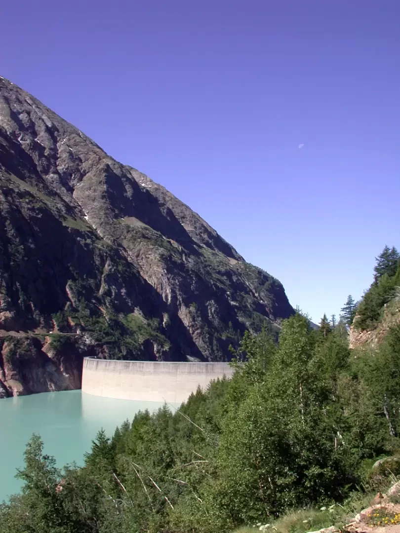
Leaving the motorway at the Aosta Est barrier, turn right and take the dual carriageway to follow for 8.4 kilometres. At Signayes, turn right onto the regional road following the signs for Bionaz/Laravoire. Pass a roundabout and continue on the regional road along the entire length of Valpelline. Drive through the villages of Valpelline, Oyace and Bionaz and, after about 27 kilometres, you will reach the car parks near the Place Moulin dam. From 1 May to 31 October, parking is chargeable (1€ per hour - 9€ all day). Non-paying car parks can be found around 600m before the dam.
[0h52'] - [37.1km]
How to get there with GMaps
How to get there with Apple Maps
The information provided here has been verified as of the date of the route survey. Before setting off, it is advisable to ensure that no substantial changes have occurred on the route to the starting point. We therefore recommend the use of the satellite navigation apps provided by Google or Apple for up-to-date and detailed directions.
Introduction
Description
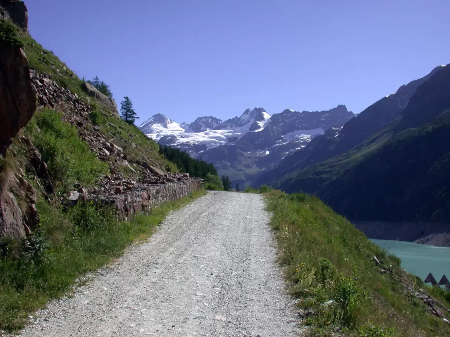
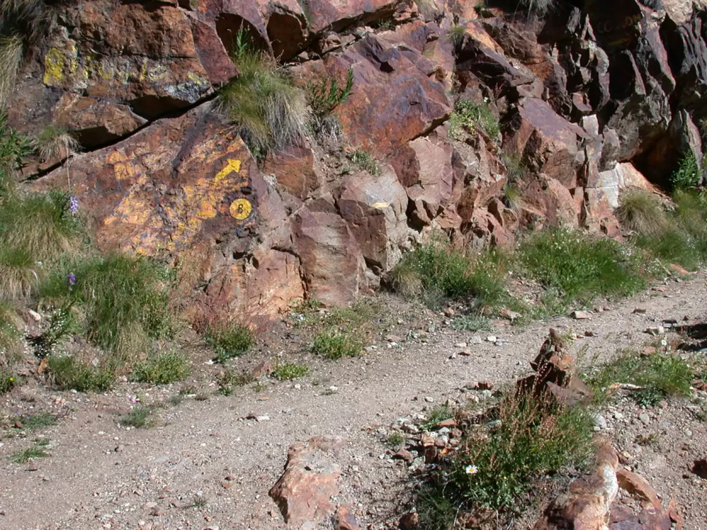
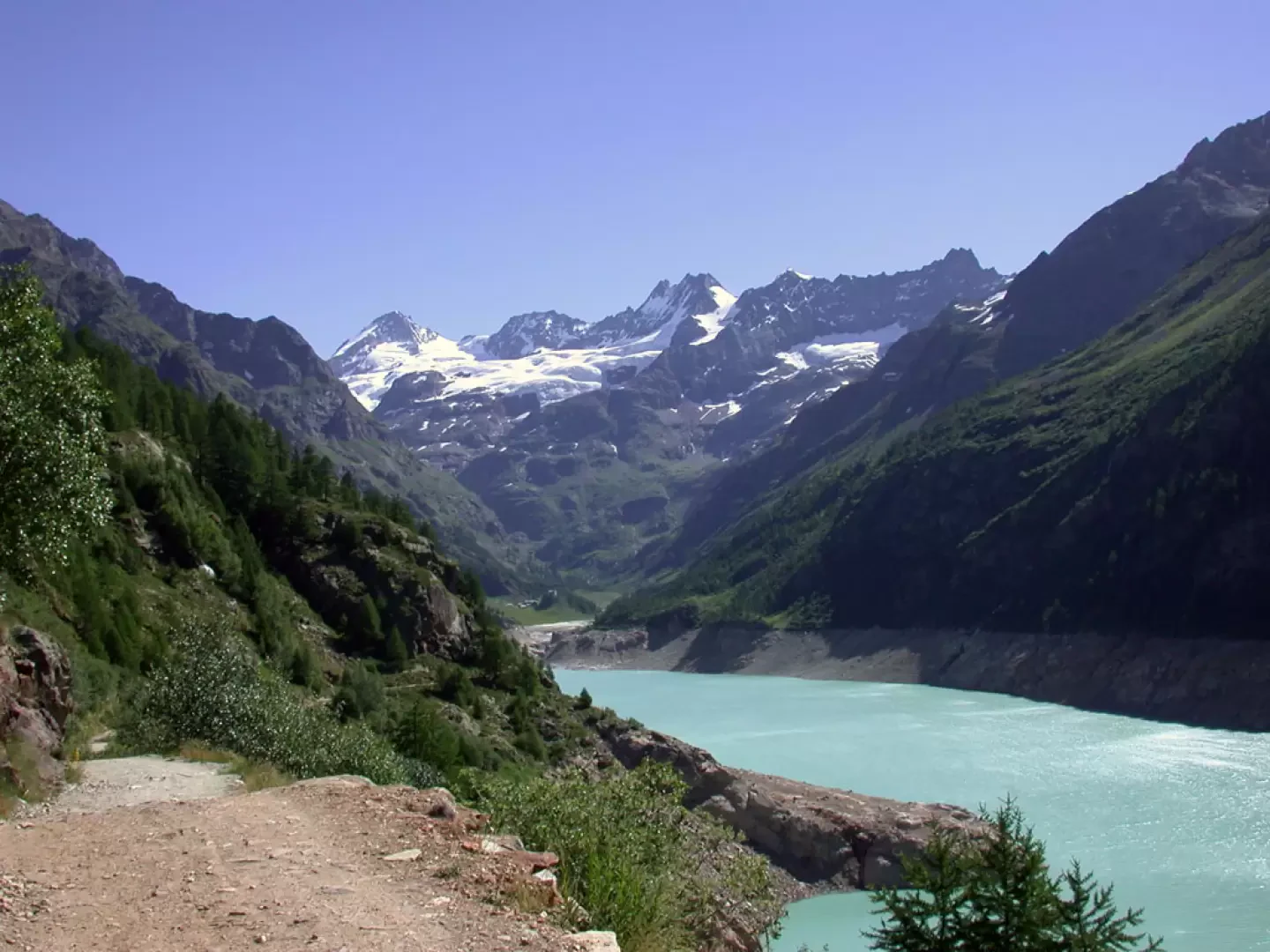
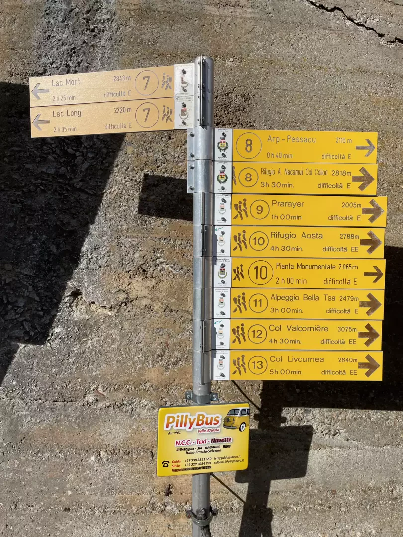
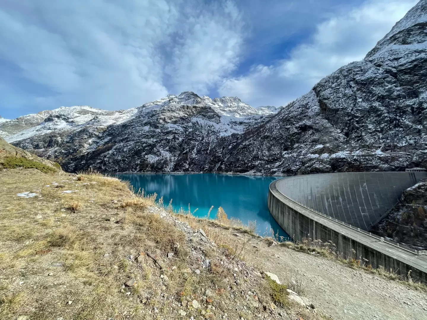
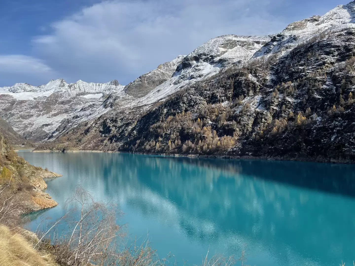
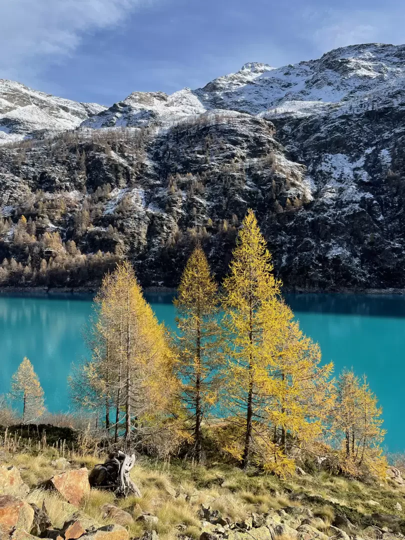
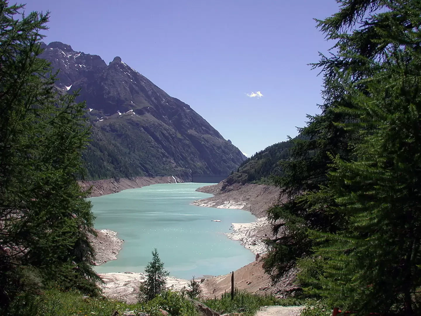
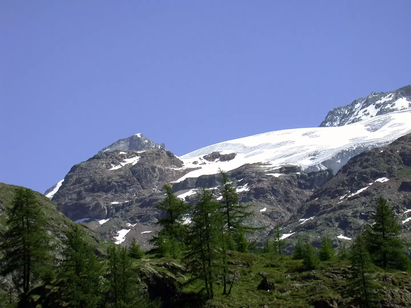
0h00' Having parked your car in the car park next to the Place Moulin dam, you immediately come across a signpost indicating the countless hikes in the area. You immediately come across the no-trespassing sign and set off on a comfortable farm road that runs along the northern side of the lake and is a pleasant walk for those who like to enjoy the colourful suggestions: in fact, the turquoise colour of the waters is not easy to forget. After a few minutes, you will soon come across splendid panoramic views of the Pointe Budden (3630m) and the Petites Murailles (3570m).
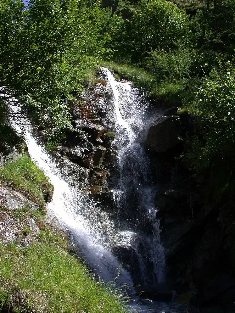
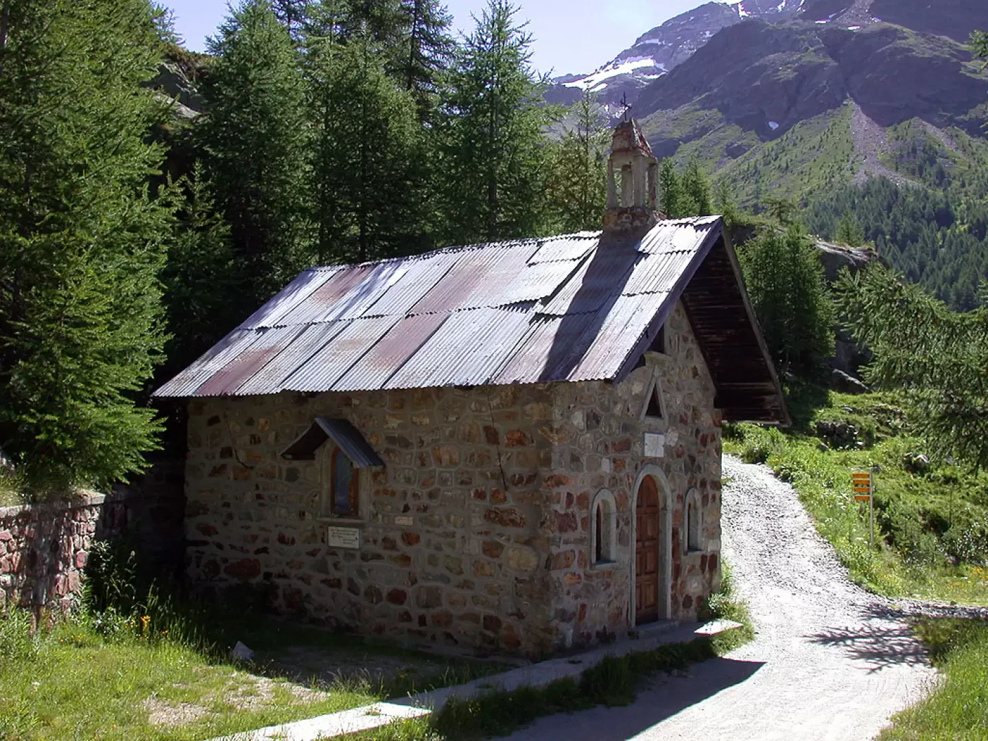
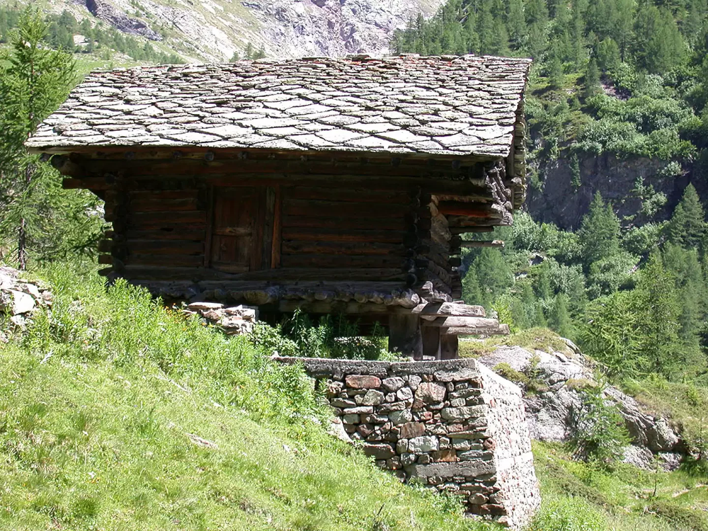
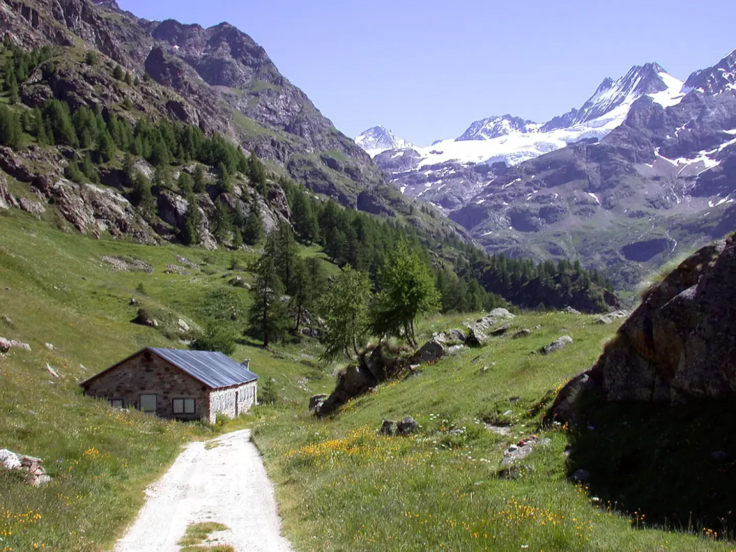
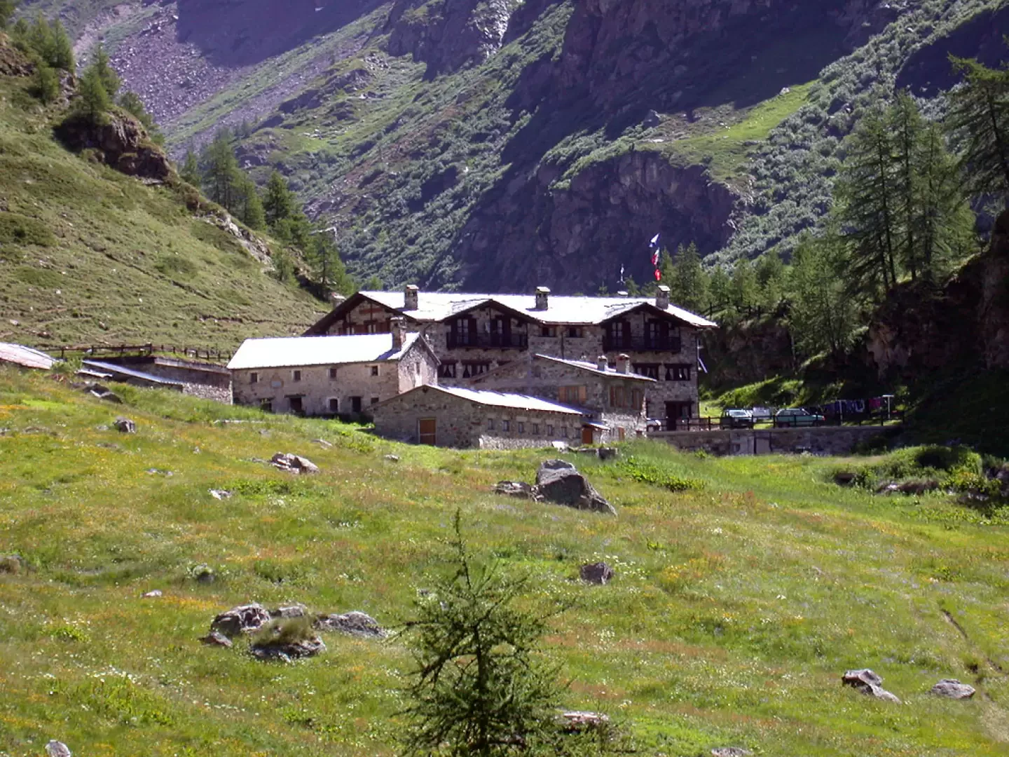
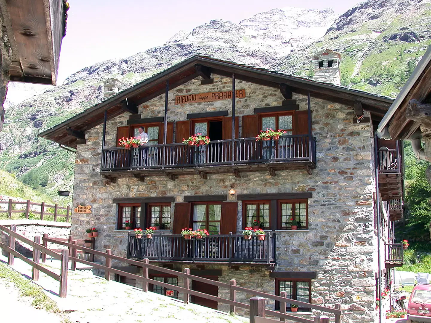
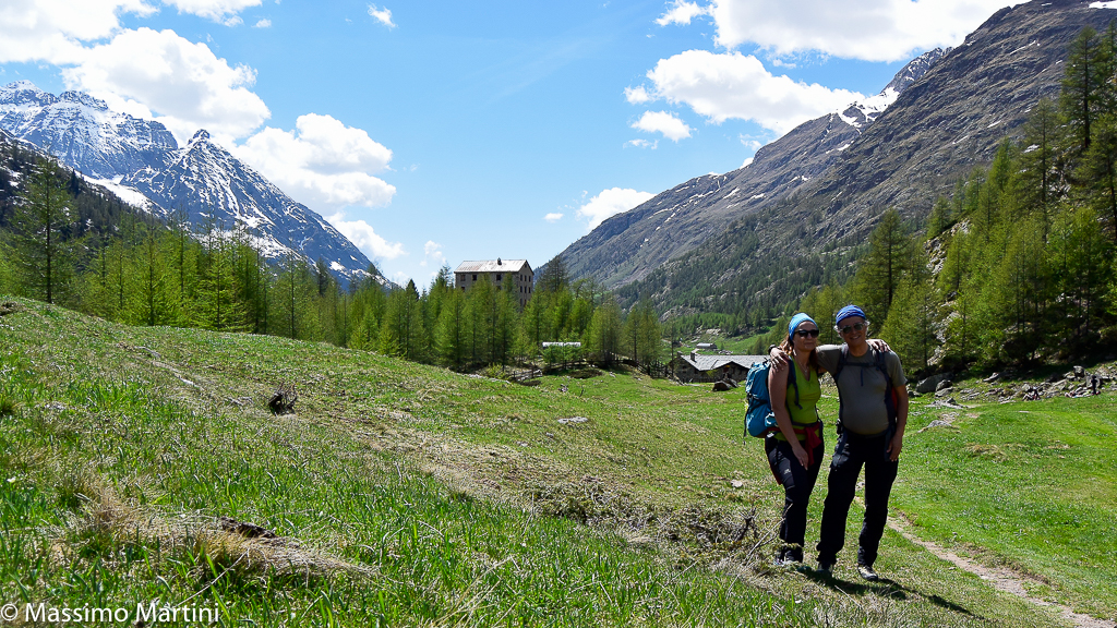
0h45' Having passed countless small waterfalls along the way, you cross the stream that descends from the Comba d'Oren and come across the small chapel of La Lé (1992m) and a characteristic restored rascard; you can also enjoy a beautiful view of the whole Place Moulin basin. Having passed the chapel, the path climbs slightly and after passing an alpine pasture on the left, the village of Prarayer can be glimpsed in the background: continue on the dirt track slightly downhill until reaching the Prarayer hut (2005m, 💧) 1h00'.
The refuge, as well as being a destination in its own right, is a privileged starting point for a whole series of hikes in the terminal part of the Valpelline.
The return journey is along the same route as the outward journey 1h00'.
Riferimenti Bibliografici
- Rifugi e Bivacchi della Valle d'Aosta - Martini Massimo e Zavatta Luca - Editrek & L'escursionista editore, 2012, Saint-Vincent e Rimini
Galleria fotografica

We have been there
Edited by:
Fabio Bertuzzo
Rifugio Prarayer, da Place Moulin
Edited by:
Massimo Martini
Rifugio Prarayer, da Place Moulin
Edited by:
Massimo Martini
Rifugio Prarayer, da Place Moulin
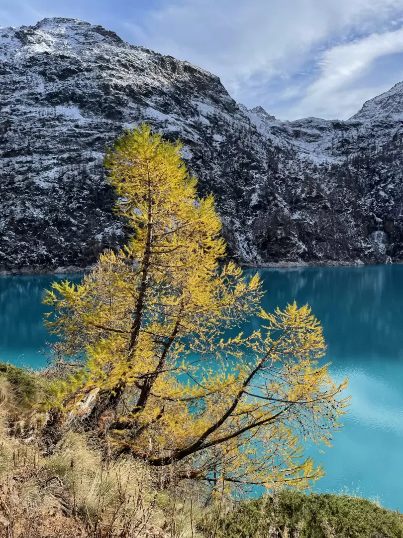
Bella passeggiata autunnale per gustare gli ultimi vagiti del feuillage con gli splendidi contrasti cromatici tra lo smeraldo delle acque del lago ed i gialli dei larici.