Natural tunnels in the Finale area, by Boragni


Edited by:
Maurizio Loconti
Updated at: 03/11/2025
Access
From the motorway, exit at Orco Feglino (particular junction as it is only towards Genoa - entry and exit). You descend towards Finalborgo, but shortly afterwards you turn left almost 360 degrees! Once back in Orco, continue to leave the cars above Boragni, from a double clearing.
Introduction
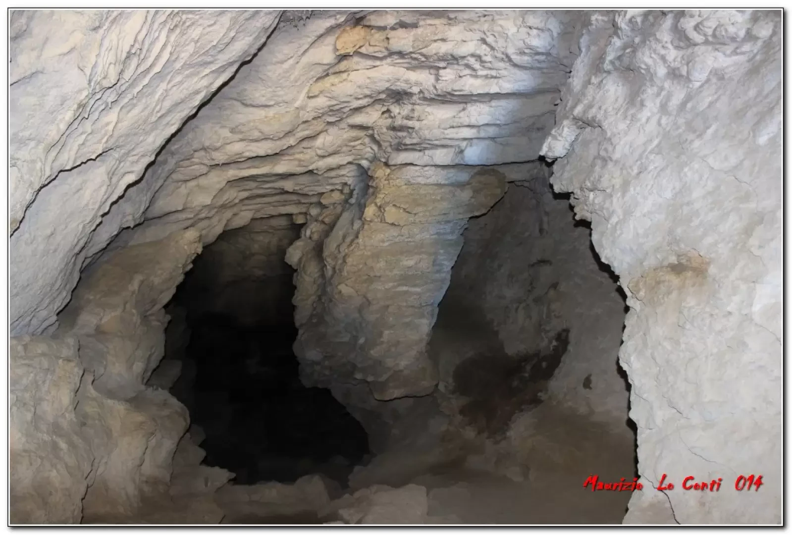
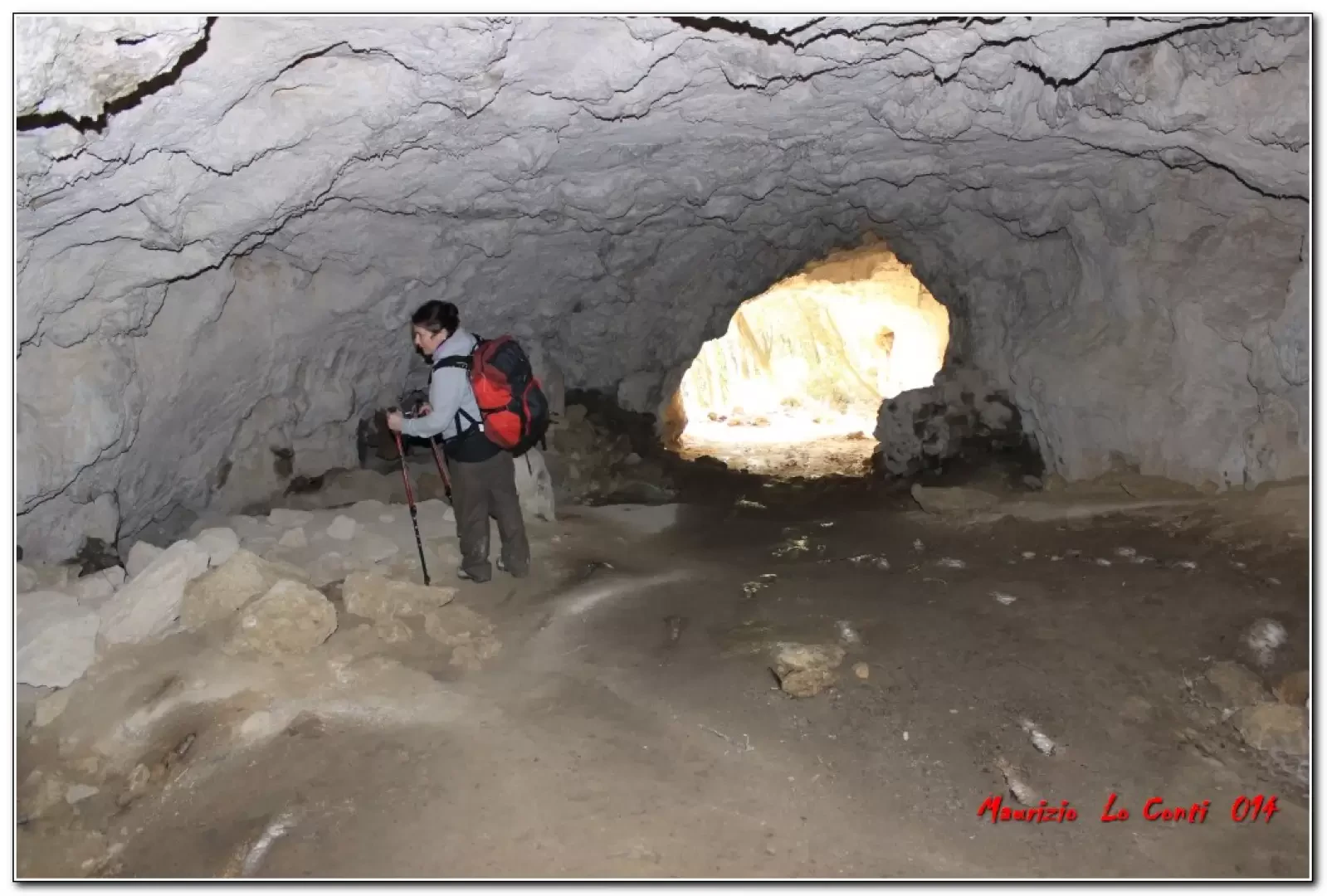
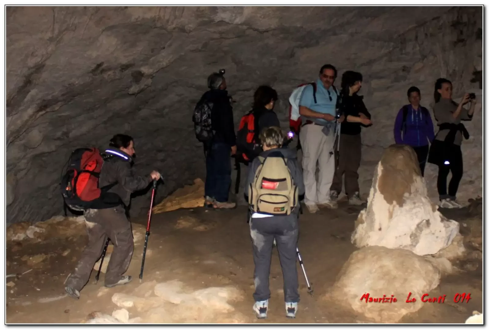
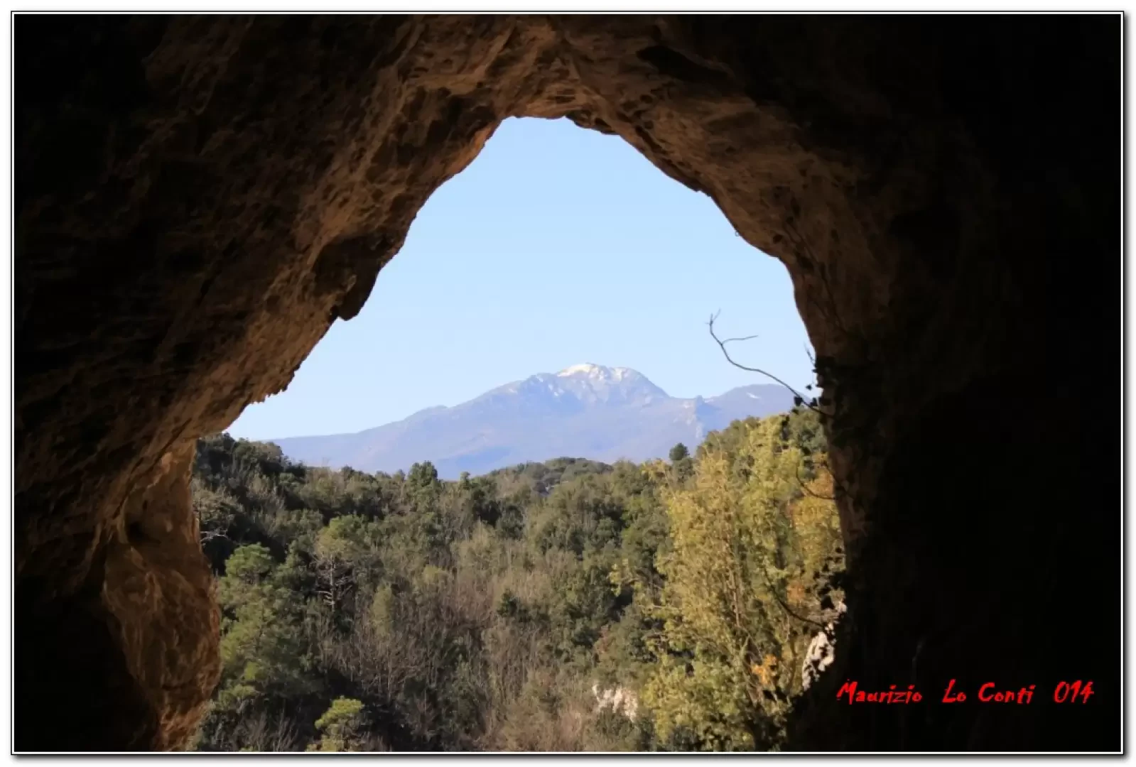
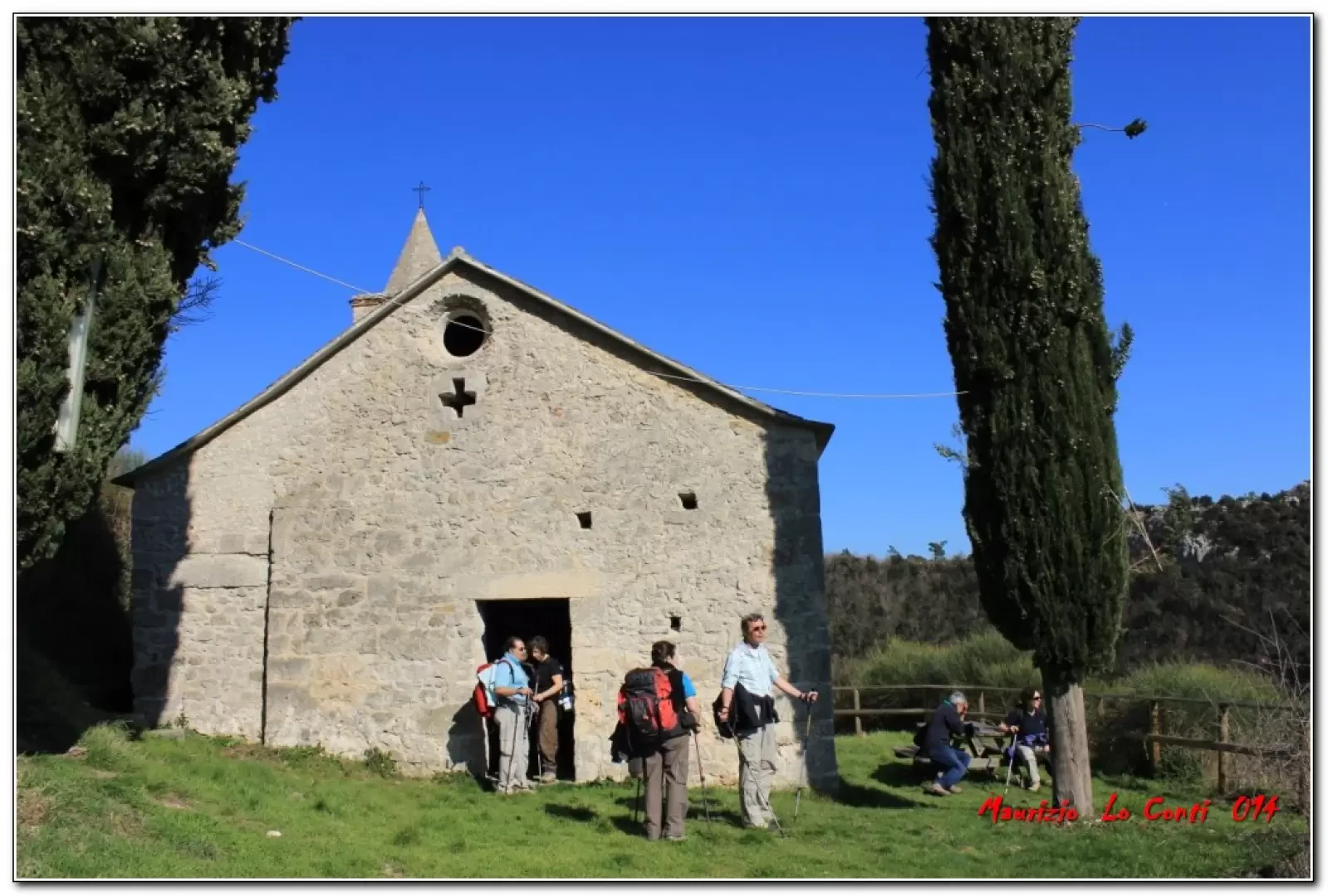
Description
From the car park (180m), turn right and follow the signposts. Paying attention, you climb up an increasingly steep track. With one last effort, you see the entrance to the Strapatente at 340m. There are two possibilities: below is narrower, but preferable, as the upper one is a little slippery. Calmly one passes, having an adequate source of illumination. One faces the cavern that comes out on the other side, after about 70 metres on a slight descent. Shortly afterwards, to the right, another diversions leads to the Grotta dei Balconi, another stupendous natural tunnel. The hitherto perfect Fie symbols suddenly disappear and create some concern about the progression of the route. We simply descend to a route where, going right, we ascend to Orco 372 m (break). Given the weather, it is shortened, descending on asphalt to the car.
In summary. difference in altitude 250 m - Dif. E - approx. 2h15 Tot. (+30' to search for the right route) + all the breaks to see the various places you come across Convenience of the route: short outward journey and excellent return. Best period: from spring to autumn. Tour interest: high. Time: acceptable
If you want, here is the pdf photo file, with a bit more info:
http://www.cralgalliera.altervista.org/Finalese021.pdf
Further info, in the two Pdf files, survey and field trip, from 2014:
http://www.cralgalliera.altervista.org/SopFinalese14.pdf
http://www.cralgalliera.altervista.org/Finalese014.pdf
NB: In the case of an excursion, always check with FIE, Cai, any park authorities or other institutions, pro loco, etc., that there have been no changes to the route, that there have been no changes that have increased the difficulties! No liability is accepted. The present text is purely indicative and not exhaustive.
Info Hiking Section Cral Galliera: http://www.cralgalliera.altervista.org/esc.htm
Trips 2021 at the link: http://www.cralgalliera.altervista.org/gite021.pdfof the rilie
Photo gallery

Comments (0)
Sign in to leave a comment