
Edited by:
redazione
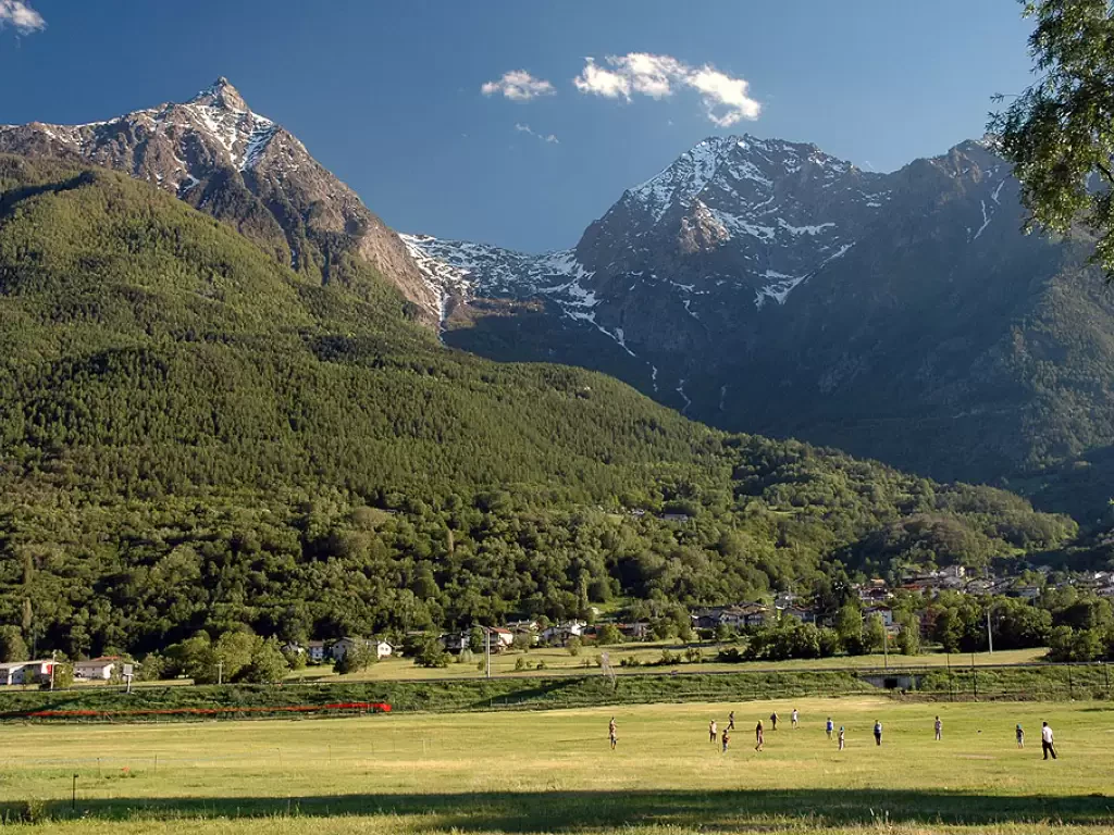
Aosta
Aosta is the capital of Valle d'Aosta and the main administrative, historical and cultural centre of the region. Located at...
583 m

Edited by:
Maurizio Bergamini
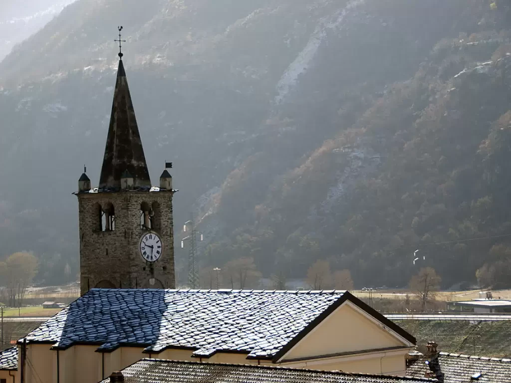
Brissogne
It is a municipality located 12 km from Aosta, at the bottom of the valley, on the right side of...
839 m
Edited by:
Maurizio Bergamini
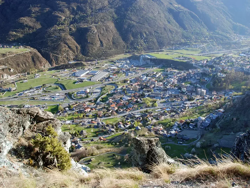
Chambave
A hilly municipality, located a few kilometres west of Châtillon, along the route of what was once the Roman road...
486 m
Edited by:
Maurizio Bergamini
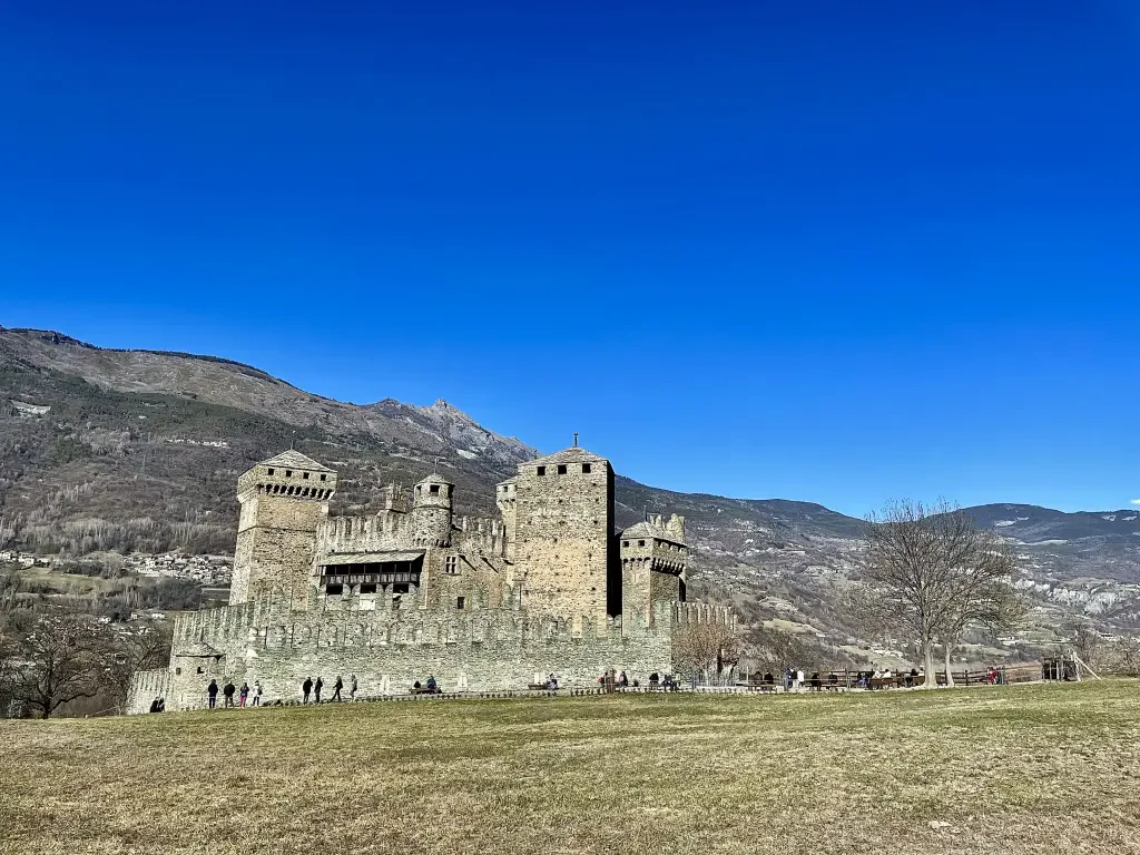
Châtillon
In terms of size, it has always been one of the largest centres in the Aosta Valley. Located at the...
537 m

Edited by:
Maurizio Bergamini
Fénis
A village in the middle Valle d'Aosta, located 547 m above sea level, slightly off the main road to Aosta...
547 m

Edited by:
Maurizio Bergamini
Nus
A municipality in the middle Aosta Valley, whose administrative centre lies at the bottom of the valley, at an altitude...
529 m

Edited by:
Massimo Martini
Pollein
Municipality located on the eastern outskirts of Aosta, extending almost exclusively on the orographic right of the Dora Baltea. Undoubtedly...
551 m

Edited by:
redazione
Pontey
Located on the orographic right of the Dora Baltea, in a stretch of the middle Valle d'Aosta known locally as...
526 m

Edited by:
redazione
Quart
Quart is a municipality in the Aosta Valley, in the middle of the valley to the east of Aosta; its...
531 m
Edited by:
redazione
Saint-Christophe
A large municipality at the bottom of the valley, located on the eastern border of the regional capital, with which...
693 m

Edited by:
Massimo Martini
Saint-Denis
A mid-mountain town, situated in the central valley on the left bank of the Dora Baltea. It was of considerable...
809 m