Nearby
📍 Location Details
Latitude:
Longitude:
Accuracy:
Updated:
0 km
100 km
Path
km
-
km
m
m
Hike Type
Round trip
Circular
Crossing
Partially circular
Recommended Period
All
Hiking
Snowshoeing
Ski-mountaineering
Mountaineering
Via ferrata
Climbing
Mountain bike
Trekking
Active filters:
Tags: hiking,alpine-pastures,aosta-valley
Showing 29 results
with active filters
Loading...
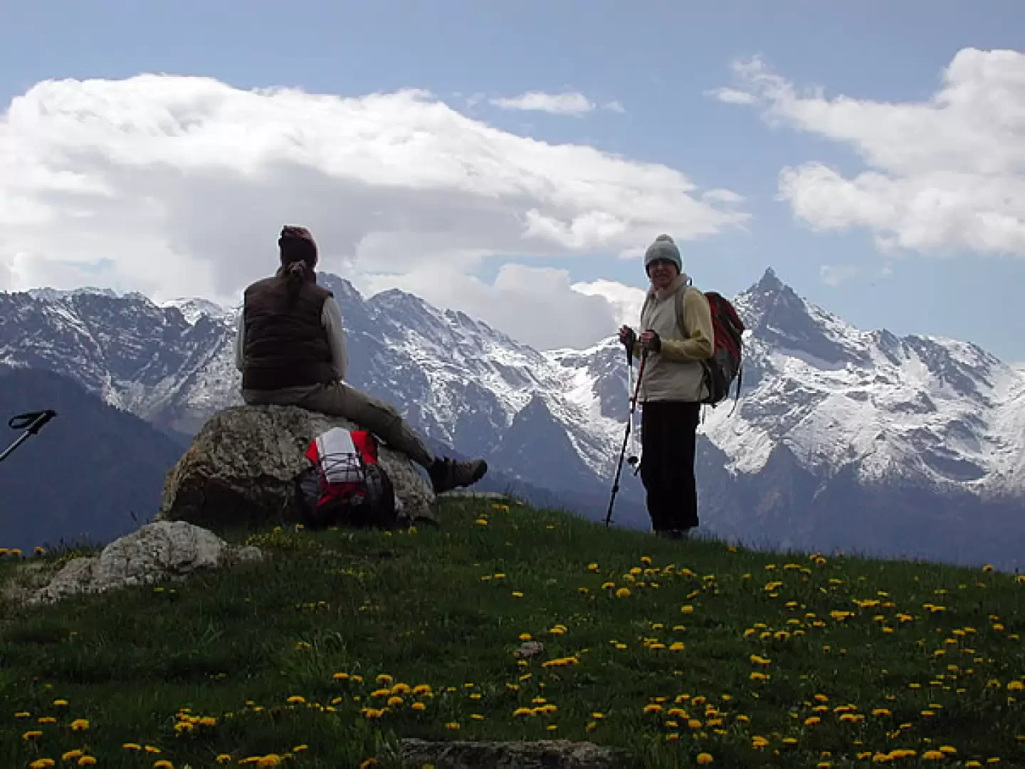

Edited by:
Maria Grazia Schiapparelli
Alpe Seura, from Pré
The itinerary takes place in an area that was inhabited up to 50 years ago. The whole area was furrowed...
T2
10.29 Km
730 m
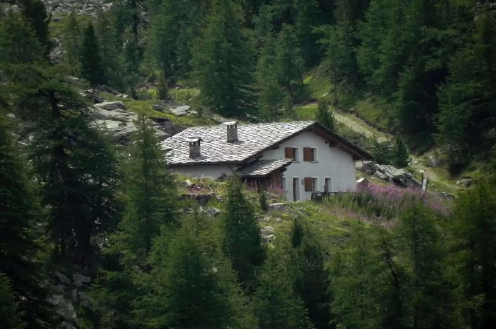

Edited by:
Marcello Rossi
The Chausettaz and Sort mountain pastures: a circular walk from Chanavey
T2
9.42 Km
631 m
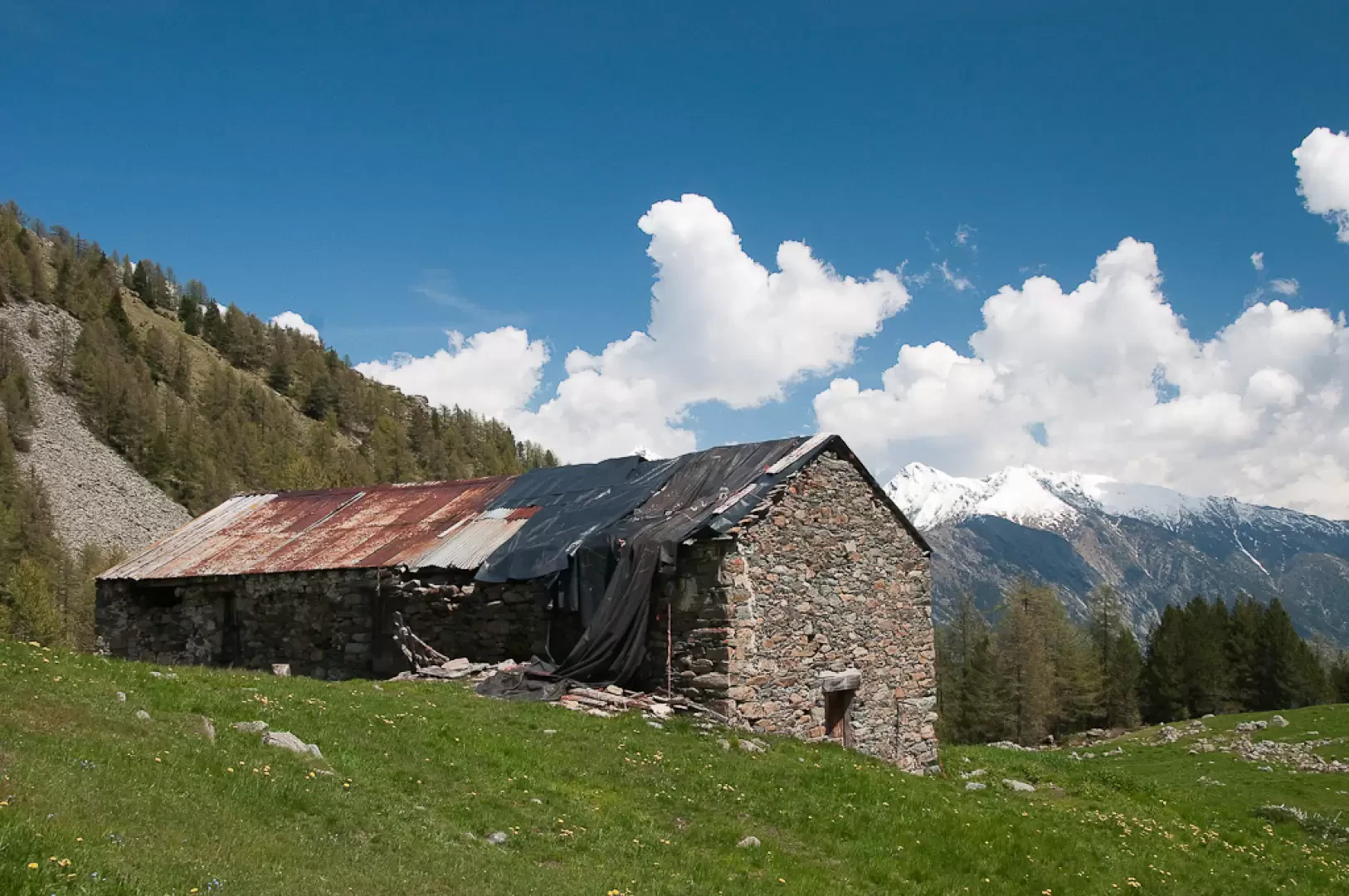

Edited by:
Massimo Martini
Aveuil, from Visey-Dessus
Ascent to Alpe Aveuil from Visey-Dessus, a hamlet in the municipality of Issogne in the lower Aosta Valley, returning via...
T2
3.05 Km
289 m
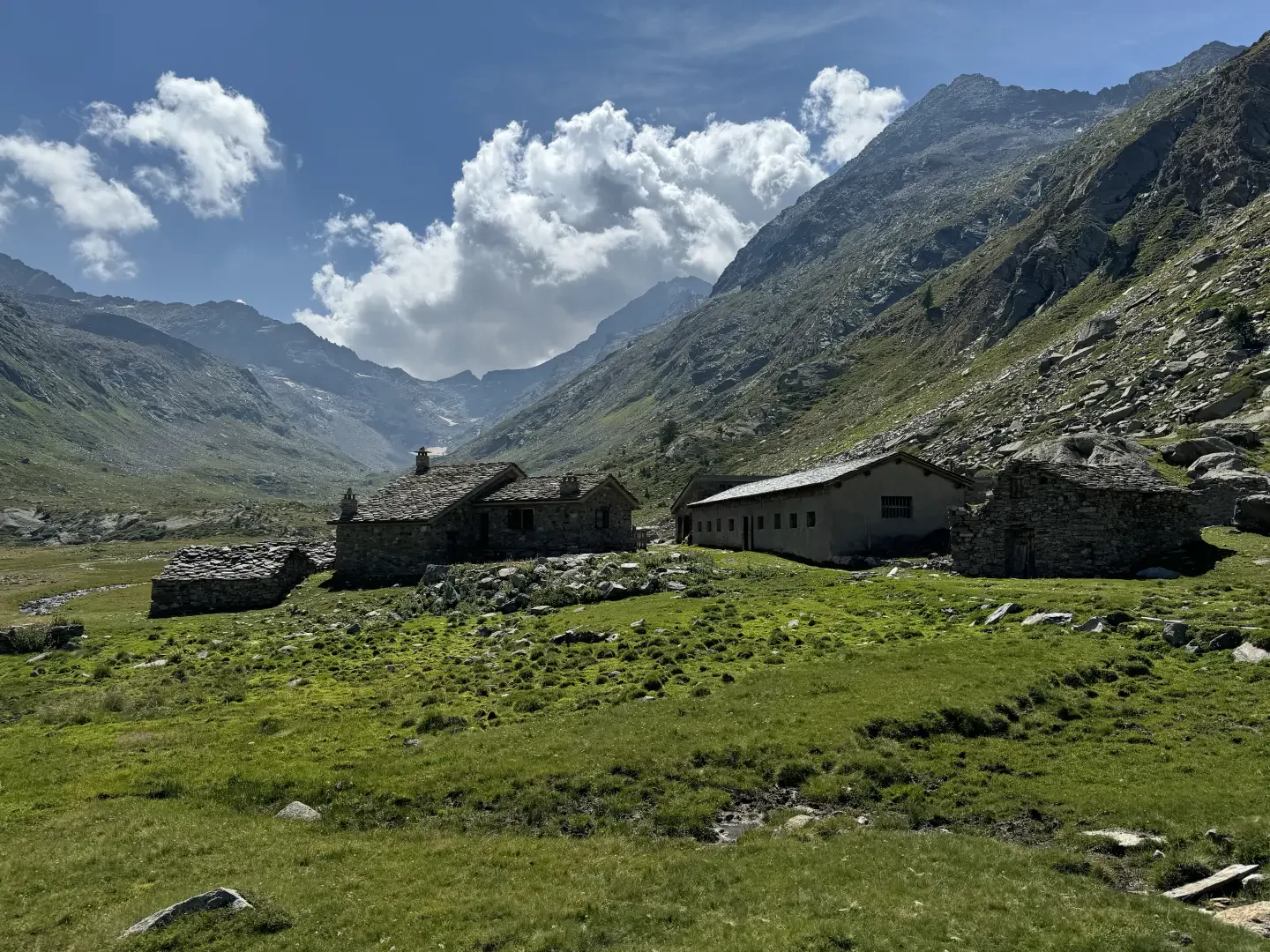
Edited by:
Massimo Martini
Bardoney, from the car park at Lillaz
The hike to the Bardoney mountain pasture is an enchanting journey into the heart of the Gran Paradiso National Park,...
T2
12.32 Km
637 m

Edited by:
Giancarlo Beretta
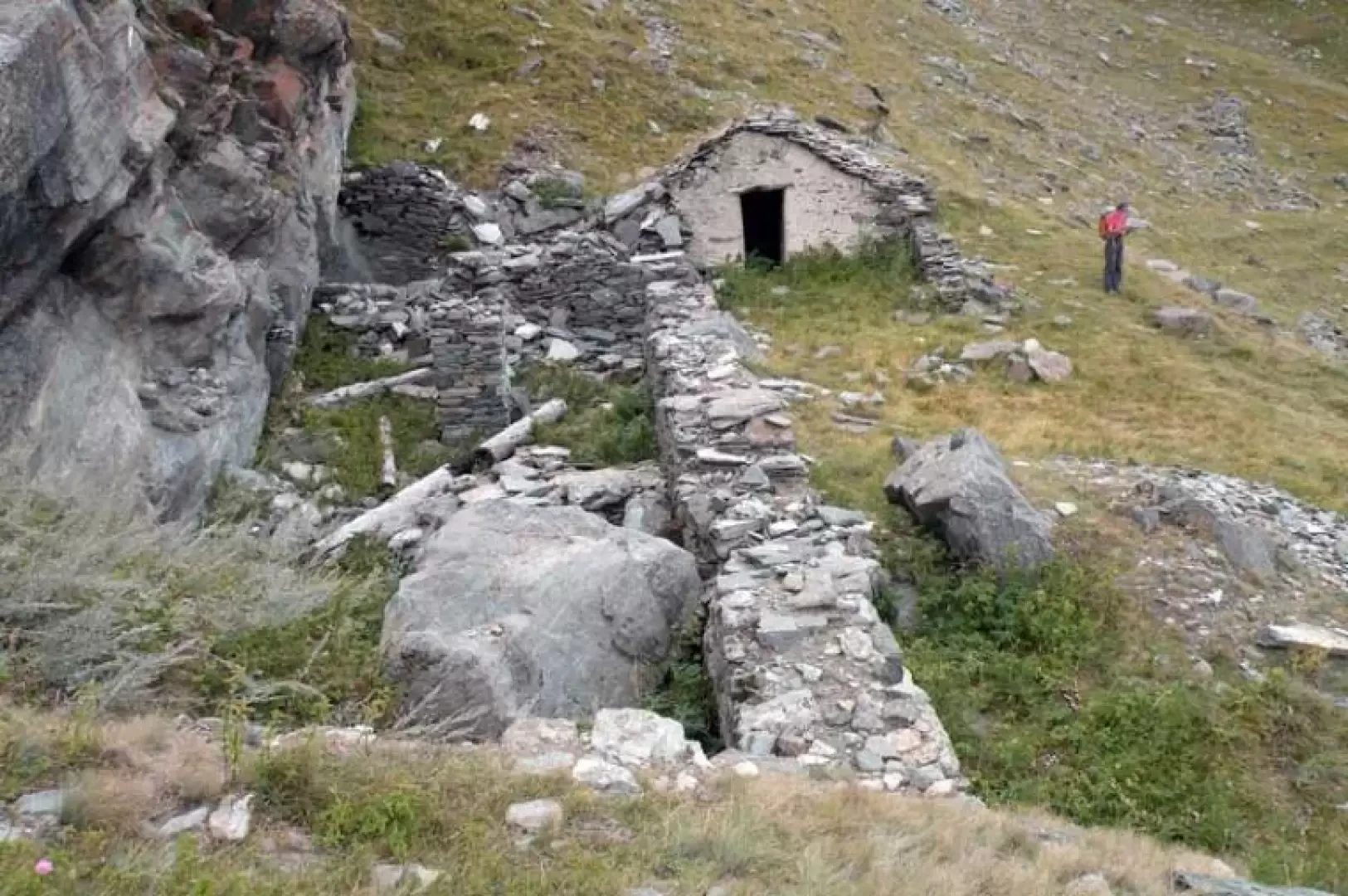
Bocconère damon, from Dégioz
The reference point for this excursion is a panoramic hut in the Gran Paradiso National Park, which is located on...
T2
6.83 Km
735 m
Edited by:
Massimo Martini
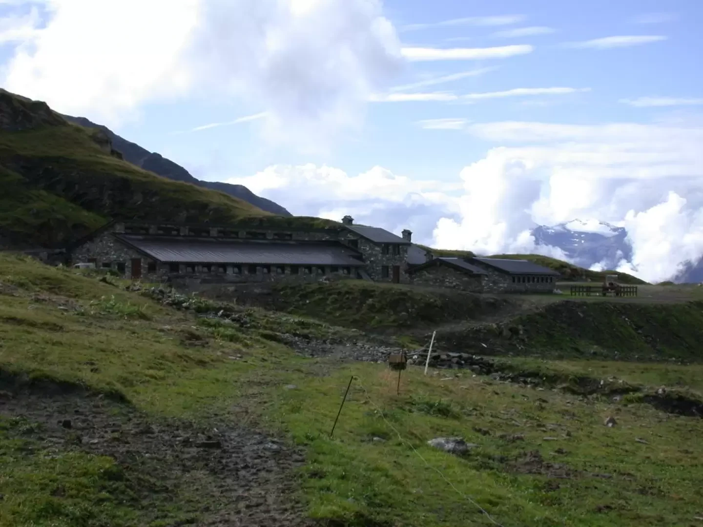
Bonalex, from Planaval
An excursion to discover the rural world of Valle d'Aosta. The route along a comfortable cart track allows you to...
T1
10.00 Km
575 m

Edited by:
Massimo Martini
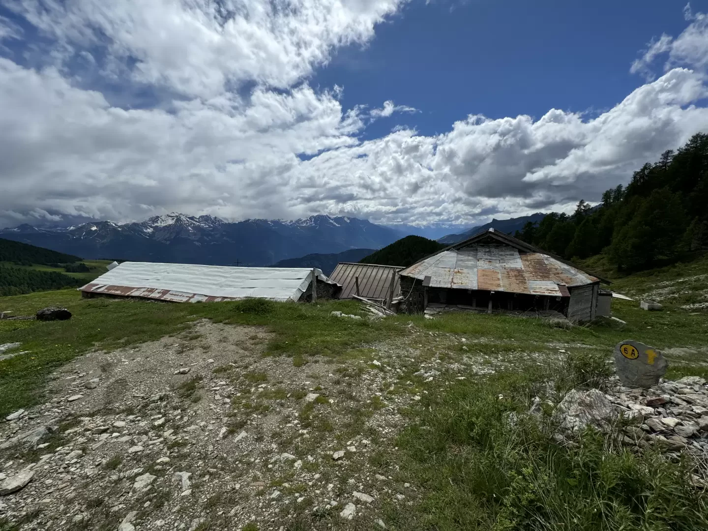
Money cottages, loop from the Valnontey car park
A beautiful walk, not too demanding, that allows you to get to know Valnontey and the amenities of the Gran...
T2
15.43 Km
871 m
Edited by:
Massimo Martini
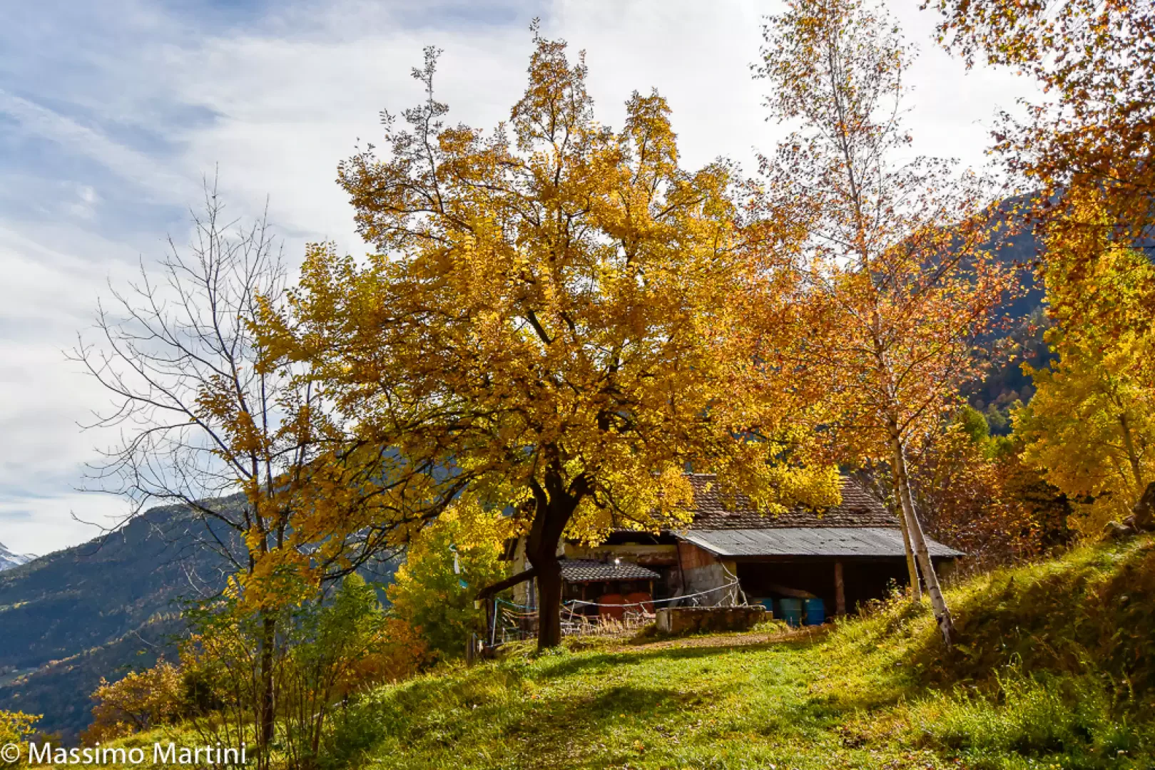
Champ Cellier dessus, from Promiod
The Champ Cellier Dessus alpine pasture, located in the picturesque Promiod valley, is a fascinating destination for mountain hikers. Nestled...
T2
9.91 Km
700 m
Edited by:
Massimo Martini
Champsin, from the Mesaney sports area
Champsin is an alpine pasture on the edge of a beautiful and panoramic clearing close to the Cloutraz promontory. The...
T2
5.00 Km
351 m

Edited by:
Benedetto Lorusso
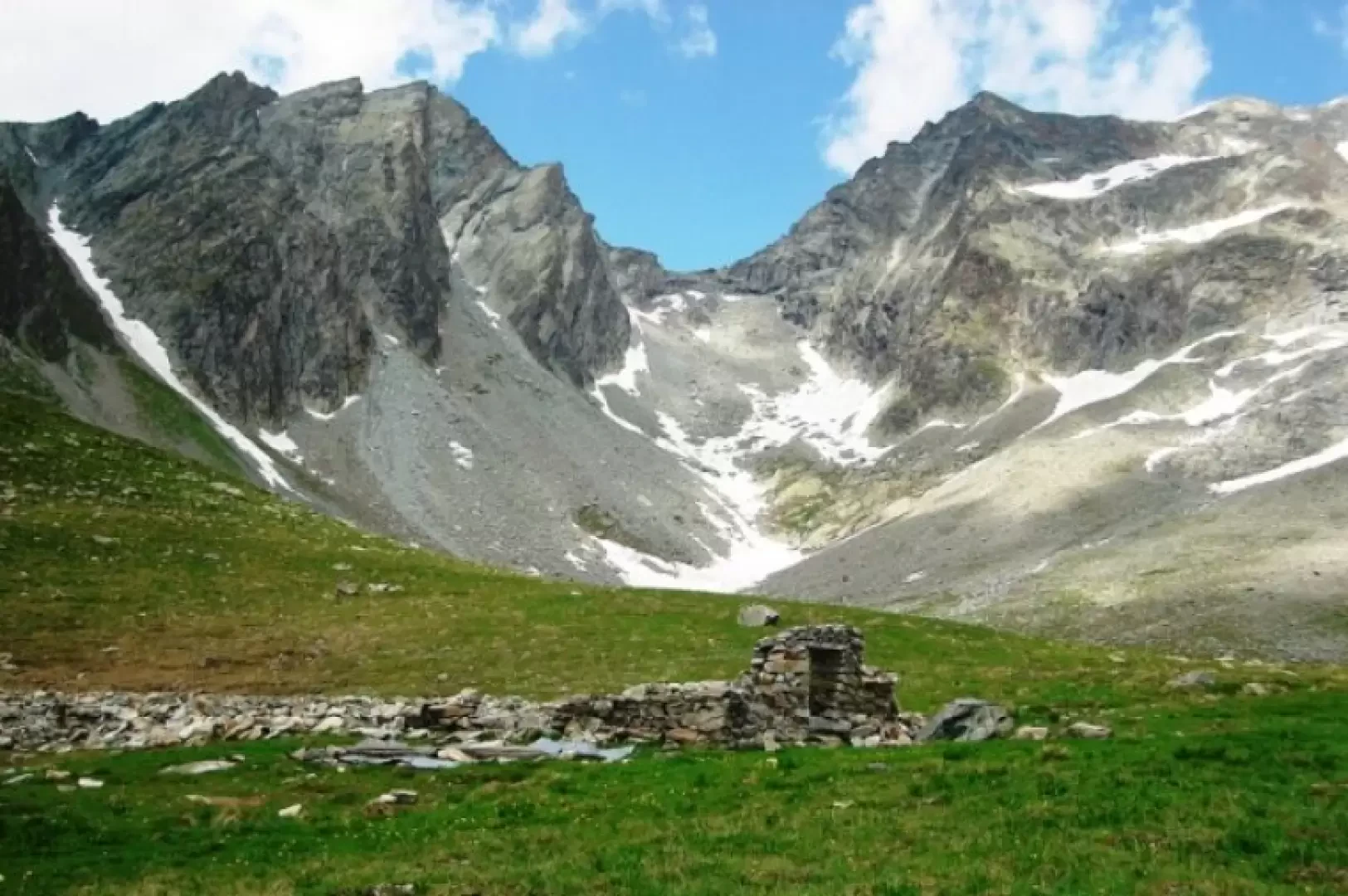
Chardoney, from Ruz
Chardonney means 'meadow where the thistle (chardon, tzardon) grows', sometimes spelled 'Chardoney' (e.g. Buscaini, Guida Alpi Pennine). There are places...
T2
9.00 Km
846 m

Edited by:
Gian Mario Navillod
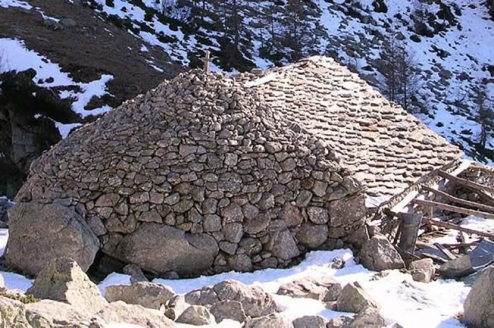
Believe me, from Zéngji
This pleasant hike leads to the beginning of the Tourrison valley, an enchanted valley that knows no motorised vehicles on...
T2
0.00 Km
820 m
Edited by:
Massimo Martini
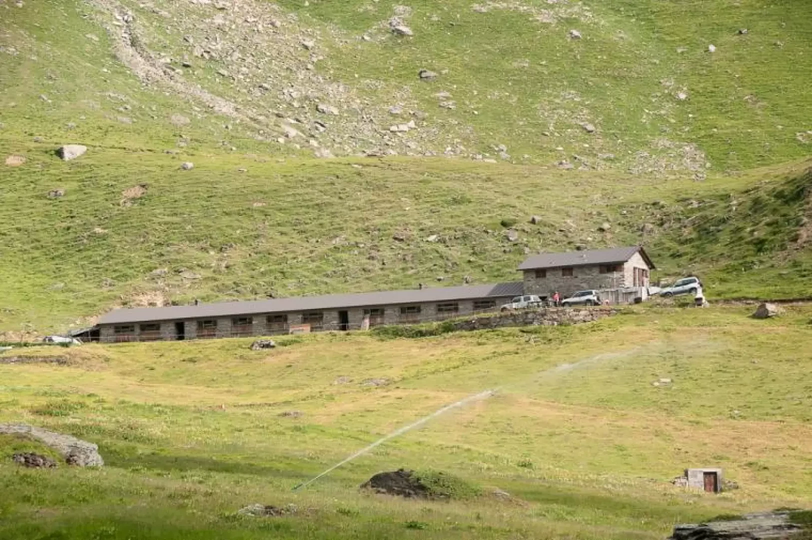
Felumaz, from Melignon
A pleasant hike on the heights of Rhêmes-Saint-Georges. The difference in altitude is not the greatest, but the climb is...
T2
5.03 Km
668 m