Nearby
📍 Location Details
Latitude:
Longitude:
Accuracy:
Updated:
0 km
100 km
Path
km
-
km
m
m
Hike Type
Round trip
Circular
Crossing
Partially circular
Recommended Period
All
Hiking
Snowshoeing
Ski-mountaineering
Mountaineering
Via ferrata
Climbing
Mountain bike
Trekking
Active filters:
Tags: hiking,auvergne-rhone-alps
Showing 11 results
with active filters
Loading...


Edited by:
PatriceBerard
Gardiole de l'Alp
Ce circuit offre des vues magnifiques en particulier sur toute la partie du parcours qui s'effectue sur les crêtes. .
T2
0.00 Km
935 m

Edited by:
Franco Rossi
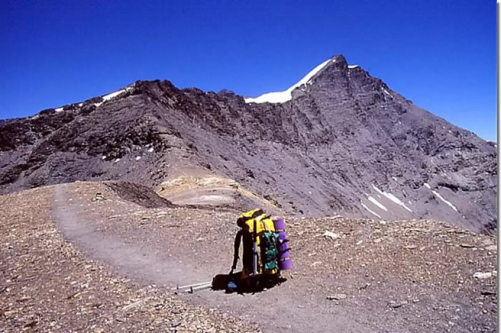
Grande Sassière, from Saut
Maybe the highest peak in the Alps that can be reached, in the most favourable period, on footpaths (EE difficulty)!...
T4
0.00 Km
1471 m


Edited by:
Nino Malavenda
Lac d'Arsine, from Pas de l'Âne
One of the most beautiful landscapes in the Ecrins Park, a truly enchanting place, particularly in late spring. During our...
T2
15.00 Km
850 m

Edited by:
Maurizio Bergamini
Lac Sans Fond
Semplice passeggiata che si svolge appena oltre il confine francese posto al colle del Piccolo San Bernardo. Si raggiunge un...
T2
7.13 Km
357 m

Edited by:
Maurizio Bergamini
The Frioul Islands
A few minutes by boat from Marseille's Vieux-Port takes you to the islands of the Frioul mini-archipelago (If, Pomègues and...
T2
0.00 Km
50 m


Edited by:
fabio_olmo
Mont Chaberton
Mount Chaberton is entirely on French territory although it is an ultra popular destination for Italians. At the top are...
T2
0.00 Km
1250 m

Edited by:
Massimo Martini
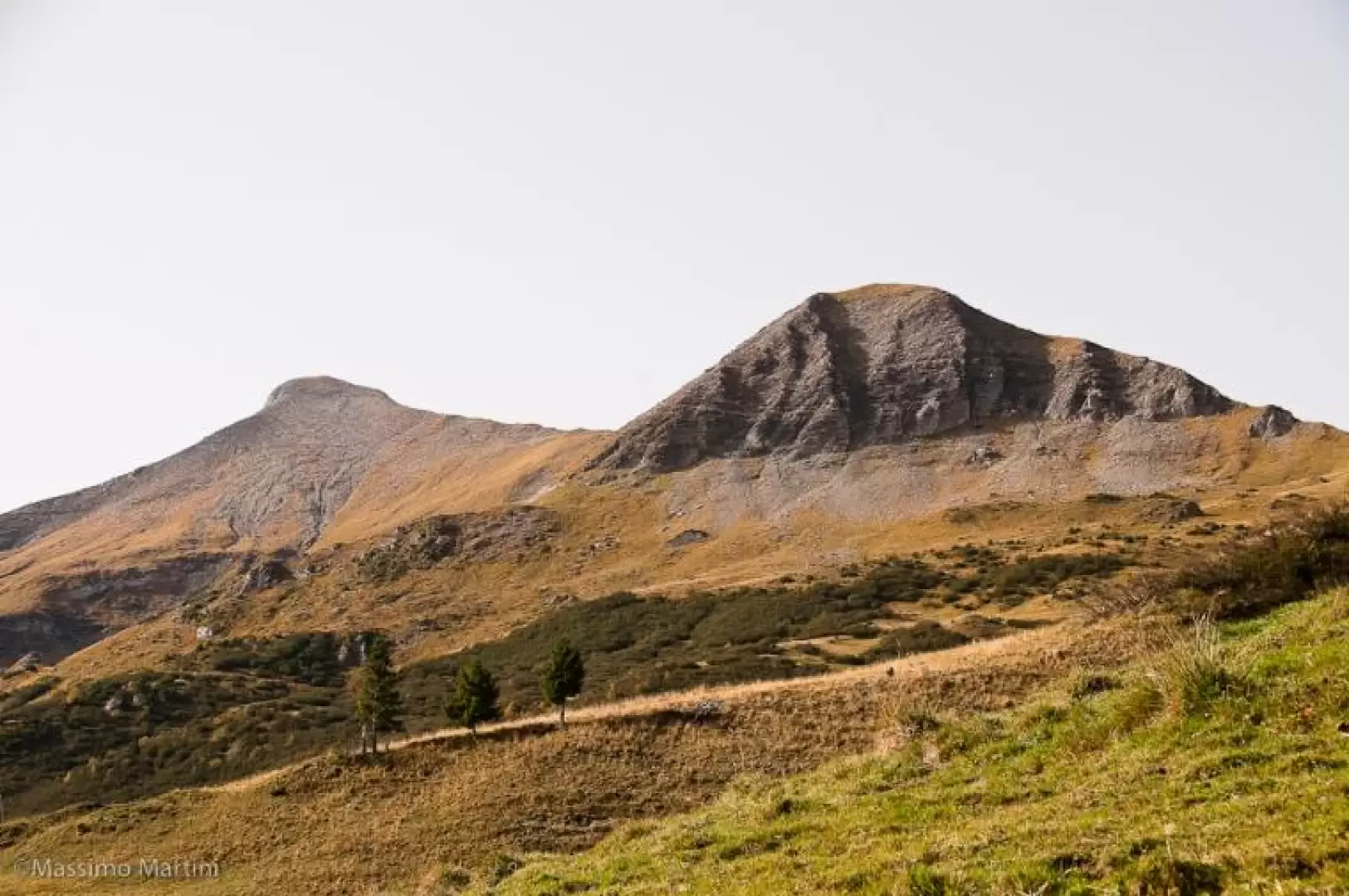
Mont Joly, from Plateau de la Croix
The ascent to Mont Joly affords remarkable panoramic views of the south-western side of the Mont Blanc Massif, with privileged...
T2
12.41 Km
1071 m

Edited by:
Maurizio Bergamini
Punta Lancebranlette
Punta di facile accesso ma molto panoramica sia sul massiccio del Bianco che su quasi tutta la Valle d'Aosta. Data...
T3
0.00 Km
739 m
Edited by:
Massimo Martini
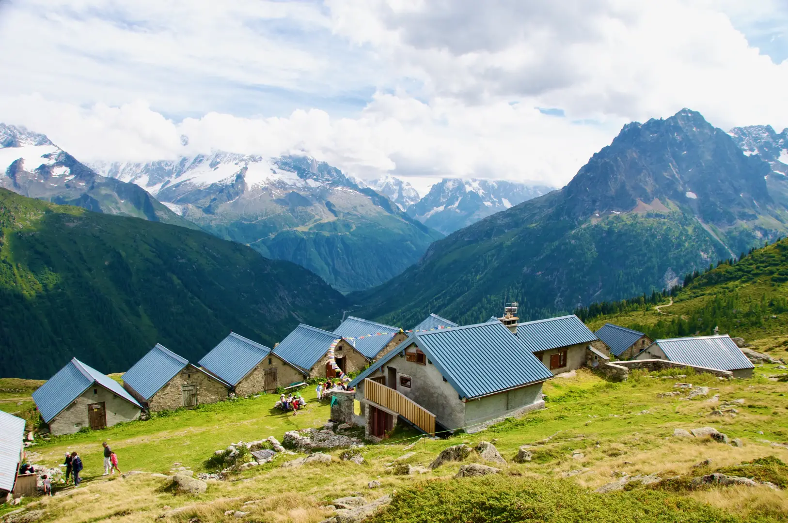
Refuge de Loriaz, ring from Le Couteray
A classic route in the Vallorcine valley, the ascent to the Chalets de Loriaz (2,020 m) allows you to immerse...
T2
10.94 Km
660 m

Edited by:
Massimo Martini
Refuge du Lac Blanc, from Col des Montets
Surely one of the most interesting itineraries in the beautiful Chamonix area. Following in the footsteps of the famous Tour...
T2
9.00 Km
922 m