Nearby
📍 Location Details
Latitude:
Longitude:
Accuracy:
Updated:
0 km
100 km
Path
km
-
km
m
m
Hike Type
Round trip
Circular
Crossing
Partially circular
Recommended Period
All
Hiking
Snowshoeing
Ski-mountaineering
Mountaineering
Via ferrata
Climbing
Mountain bike
Trekking
Active filters:
Tags: hiking,fontainemore
Showing 12 results
with active filters
Loading...


Edited by:
Massimo Martini
Balma di Oropa, from Pillaz
The Balma di Oropa is a border peak between Valle d'Aosta and Piedmont. The ascent to the Balma allows, on...
T2
13.00 Km
1074 m
Edited by:
Massimo Martini
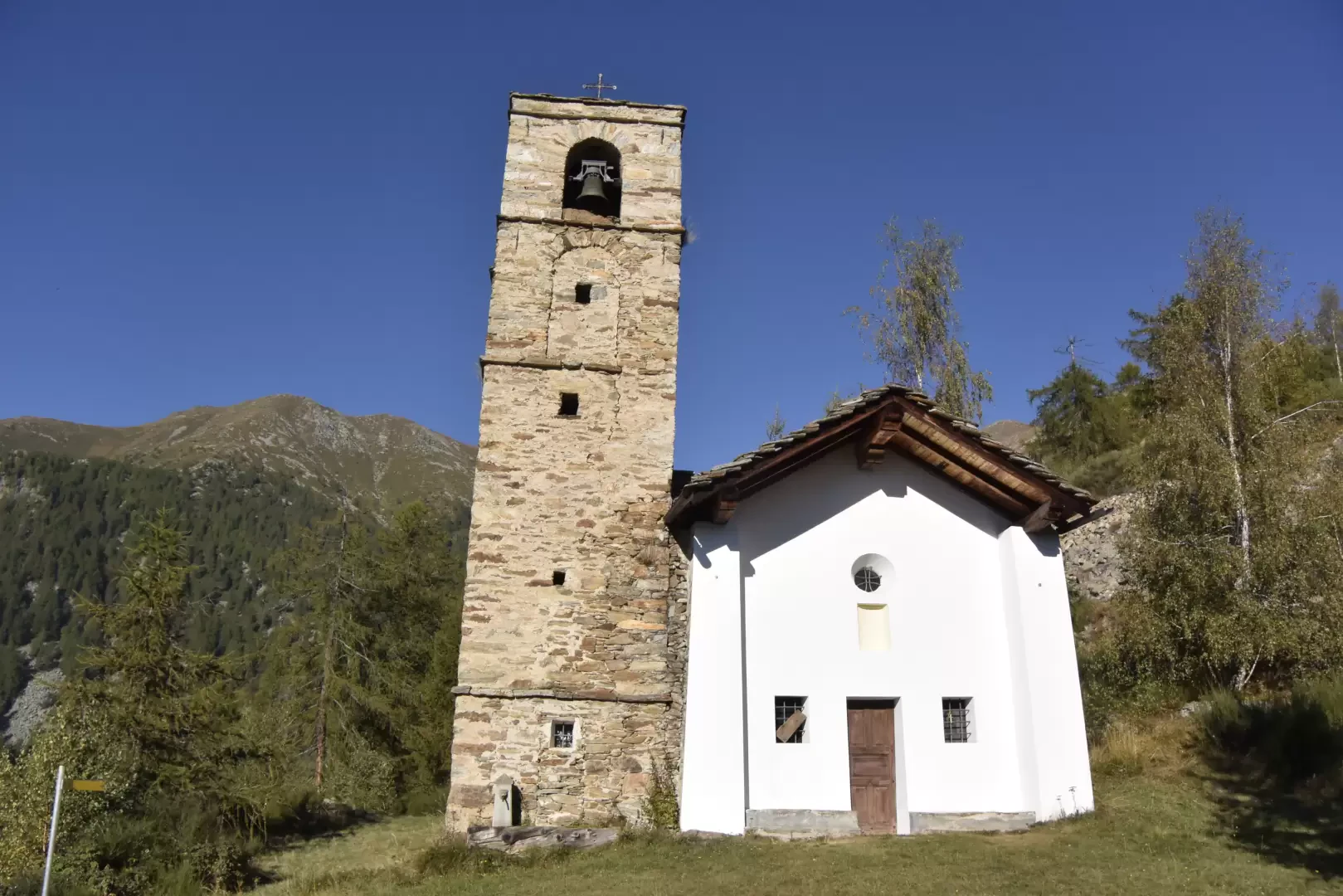
Chapel of Kiry, from Fontainemore
A hike suitable for those who want to go back in time. Climbing up the impervious mule tracks of the...
T2
7.00 Km
863 m
Edited by:
Massimo Martini
Col de Carisé, from Coumarial
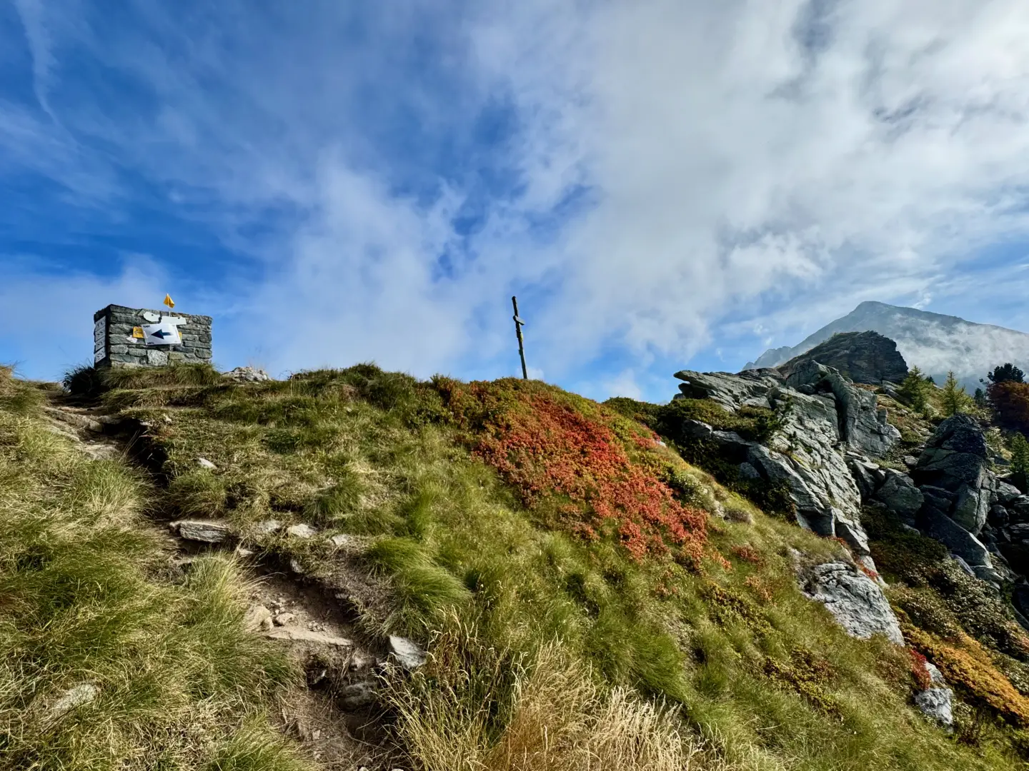
The Col de Carisé is one of the most interesting destinations that can be reached from the Coumarial basin. The...
T2
8.93 Km
680 m
Edited by:
Massimo Martini
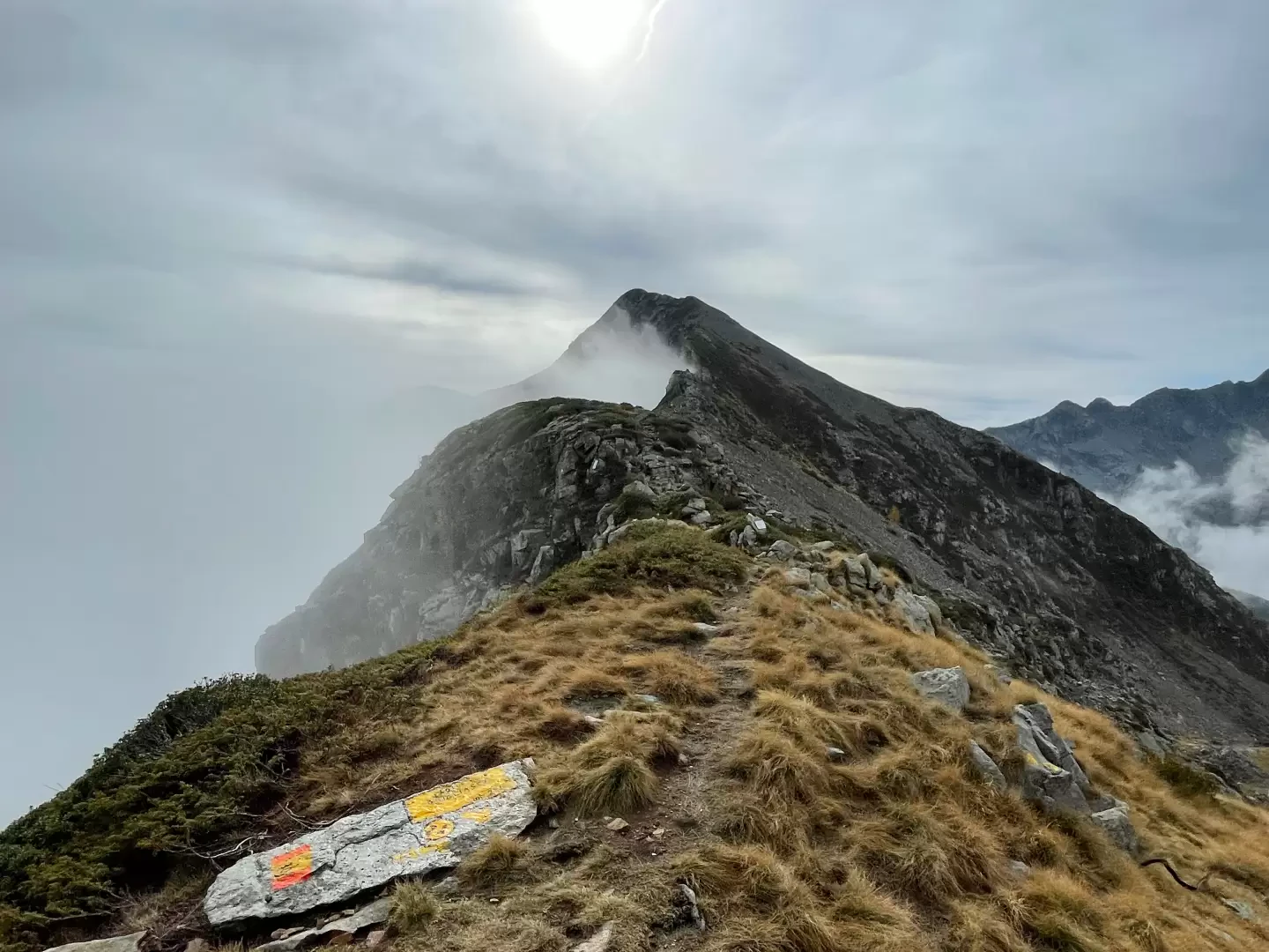
Col de Gragliasca, from Coumarial
The Col de Gragliasca or Colle della Gragliasca is an alpine pass that separates the Cervo Valley in the Biella...
T2
12.85 Km
825 m

Edited by:
Massimo Martini
Col de la Barme, from Pillaz
Beautiful hike along part of the route used, every five years, by the Procession of the Black Madonna of Oropa.
T2
14.00 Km
949 m

Edited by:
Massimo Martini
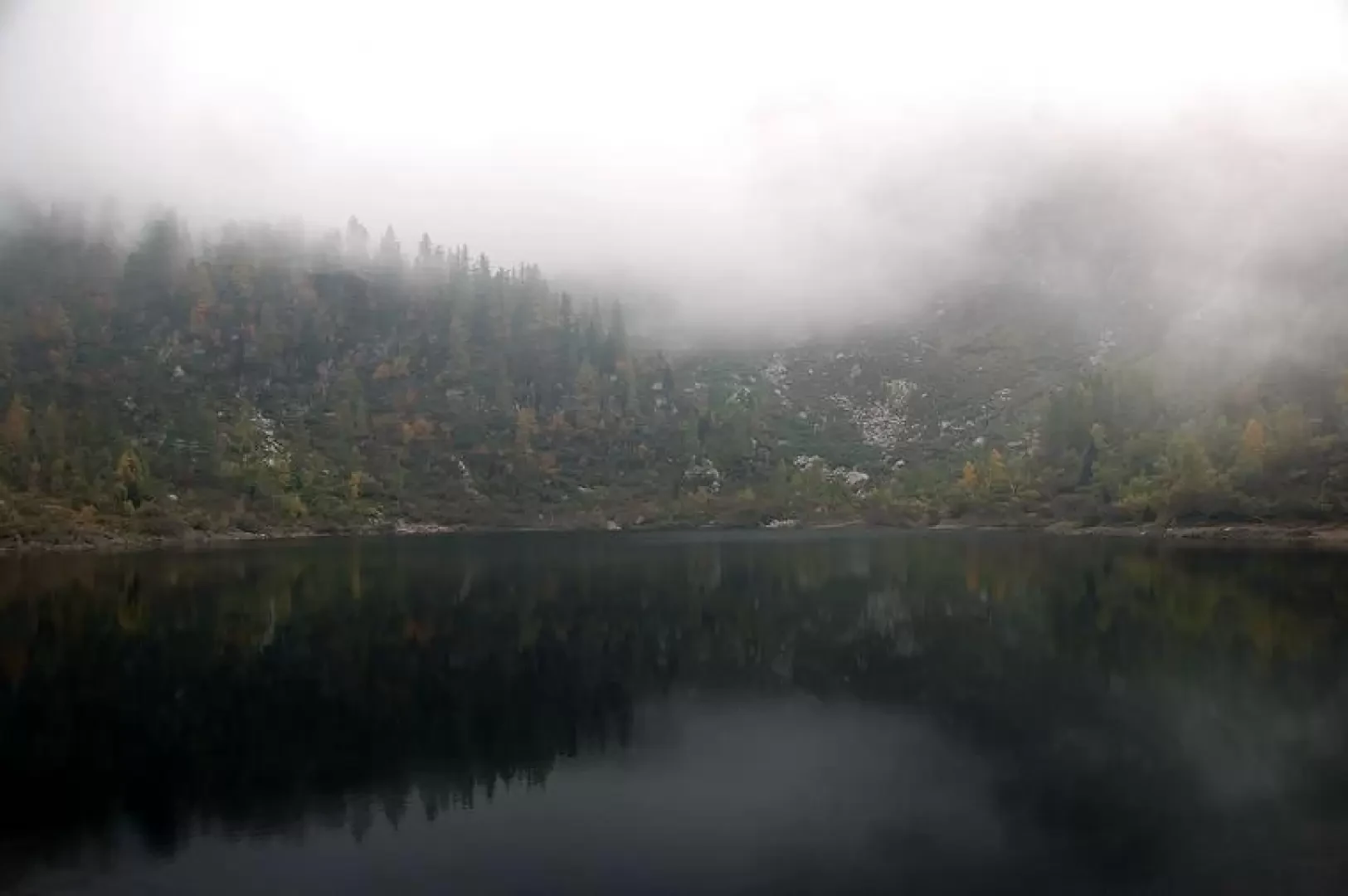
Lake Vargno, from Pillaz
A short but interesting walk that offers a first taste of the Mont Mars Nature Reserve. The route, which follows...
T2
7.78 Km
445 m

Edited by:
Giancarlo Beretta
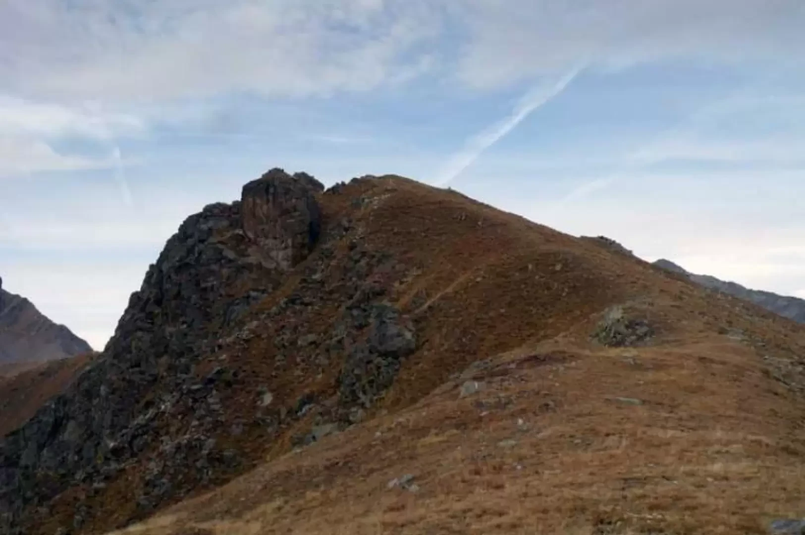
Mont de Prial
This excursion goes up a beautiful valley dotted with alpine pastures and huts, many of which are well maintained, and...
T2
10.00 Km
1288 m


Edited by:
Ivano Ruffoni
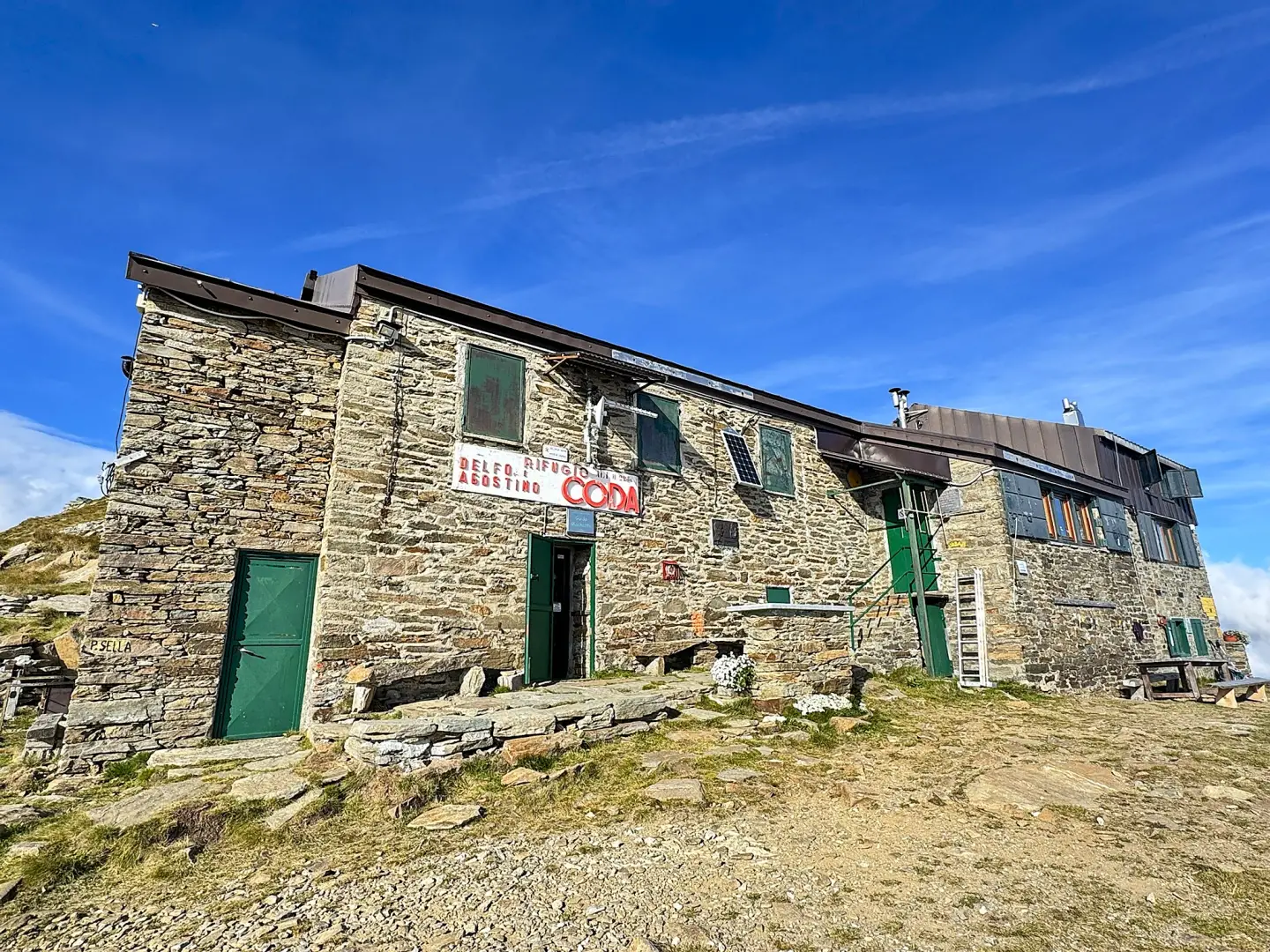
Rifugio Coda
Il Rifugio Coda sorge in prossimità della Punta Sella, alle pendici del Mont Mars. Il rifugio è base di partenza...
T2
10.60 Km
812 m
Edited by:
Massimo Martini
Coda Mountain Hut, from Sassa
A route that climbs up the valley between Sassa and Colle di Carisé, passing through high-altitude pastures, mountain pastures and...
T2
8.86 Km
859 m

Edited by:
Maurizio Loconti
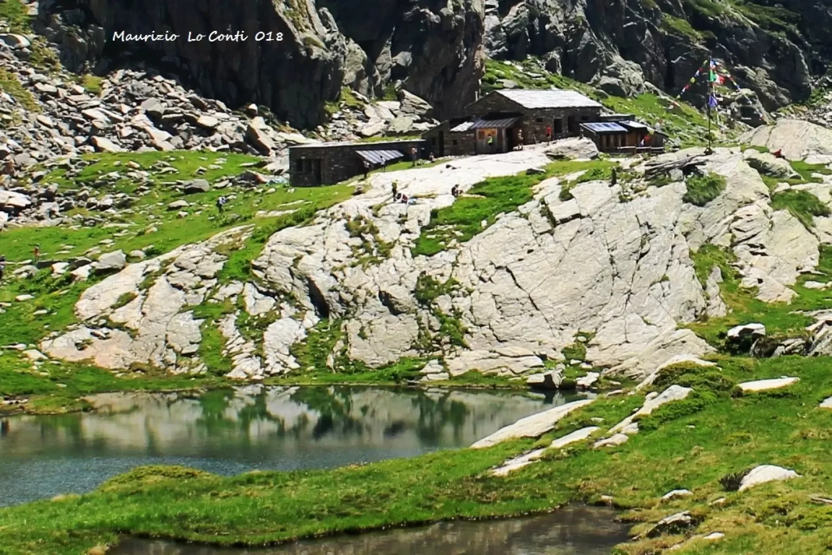
Refuge de la Barma, from Coumarial
The trip to Valle d'Aosta is a long way from Liguria in terms of kilometres, but in terms of timing...
T2
13.00 Km
825 m