Col de Carisé, from Coumarial


Edited by:
Massimo Martini
Updated at: 21/06/2026
Access
Leave the motorway at the Pont-Saint-Martin exit, turn right after about 100 metres and take the second exit at the first roundabout. Continue straight on to the second roundabout and take the third exit to enter the town of Pont-Saint-Martin. After a few hundred metres, turn right onto in the direction of Valle del Lys. Follow the regional road for about 10.2 km, passing the villages of Lillianes and Fontainemore. About 1 km after the centre of Fontainemore, turn right and follow the signs for Pian Coumarial. Cross the bridge over the Lys stream and take the municipal road uphill. Continue along the road for 7.3 km, passing the villages of Colombit, Pacoulla, Pianpervero, Jugeo, Chouchal, Pra Dou Sas, Cios, Challasc, Colla, Grange, Savaroy, Goy and finally Coumarial. Reach the large car park at the end of the road, near the picnic area where there is a fountain 💧 for filling up with water, as there are no other supply points along the route.
Distance and walking time
🕒Travel time: 30 minutes
📏 Distance: 18.9 km
GPS navigation
📍 How to get there with Google Maps
📍 How to get there with Apple Maps
ℹ️ Important note
The directions provided were verified on the date of the route survey. Before departure, it is advisable to check for any changes to the route. For up-to-date and detailed directions, we recommend the use of Google Maps or Apple Maps..
Introduction
The Col de Carisé is one of the most interesting destinations that can be reached from the Coumarial basin. The itinerary winds its way through beech forests, pastures and stony ground, touching on small alpine villages and mountain pastures still in use, until it reaches the saddle that connects the Valle del Lys with the Biellese slopes. Along the ascent, the eye encounters increasingly wide panoramic views: from Mont Mars, which dominates the basin, to the ridge separating Piedmont and Valle d'Aosta. The environment, at first shady and wooded, gradually opens up into a rugged and wild valley, marked by torrents and erratic boulders. On reaching the pass, the border cross and the stone cippus mark the arrival point, where the hiker can enjoy the peace and vastness of the landscape.
Description
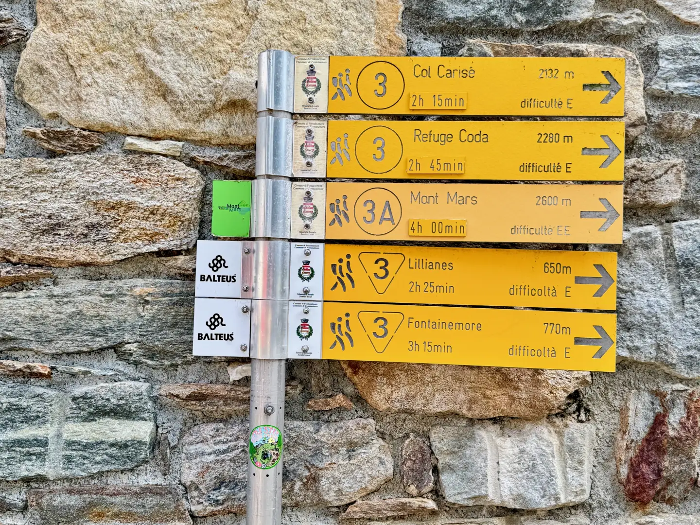
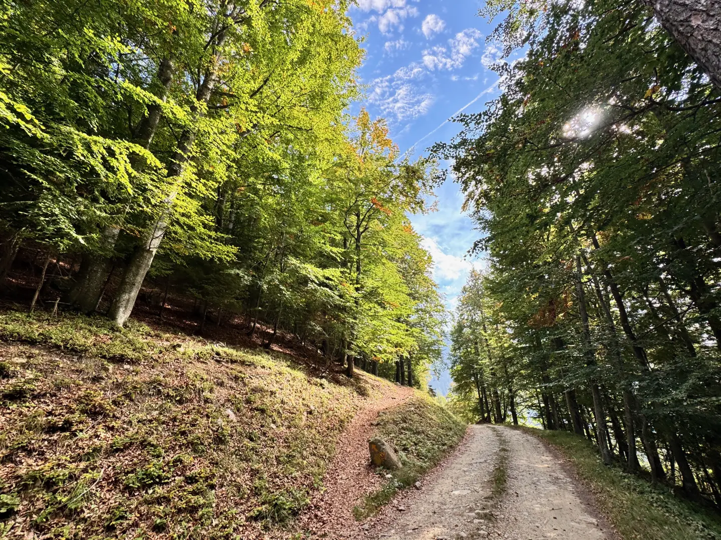
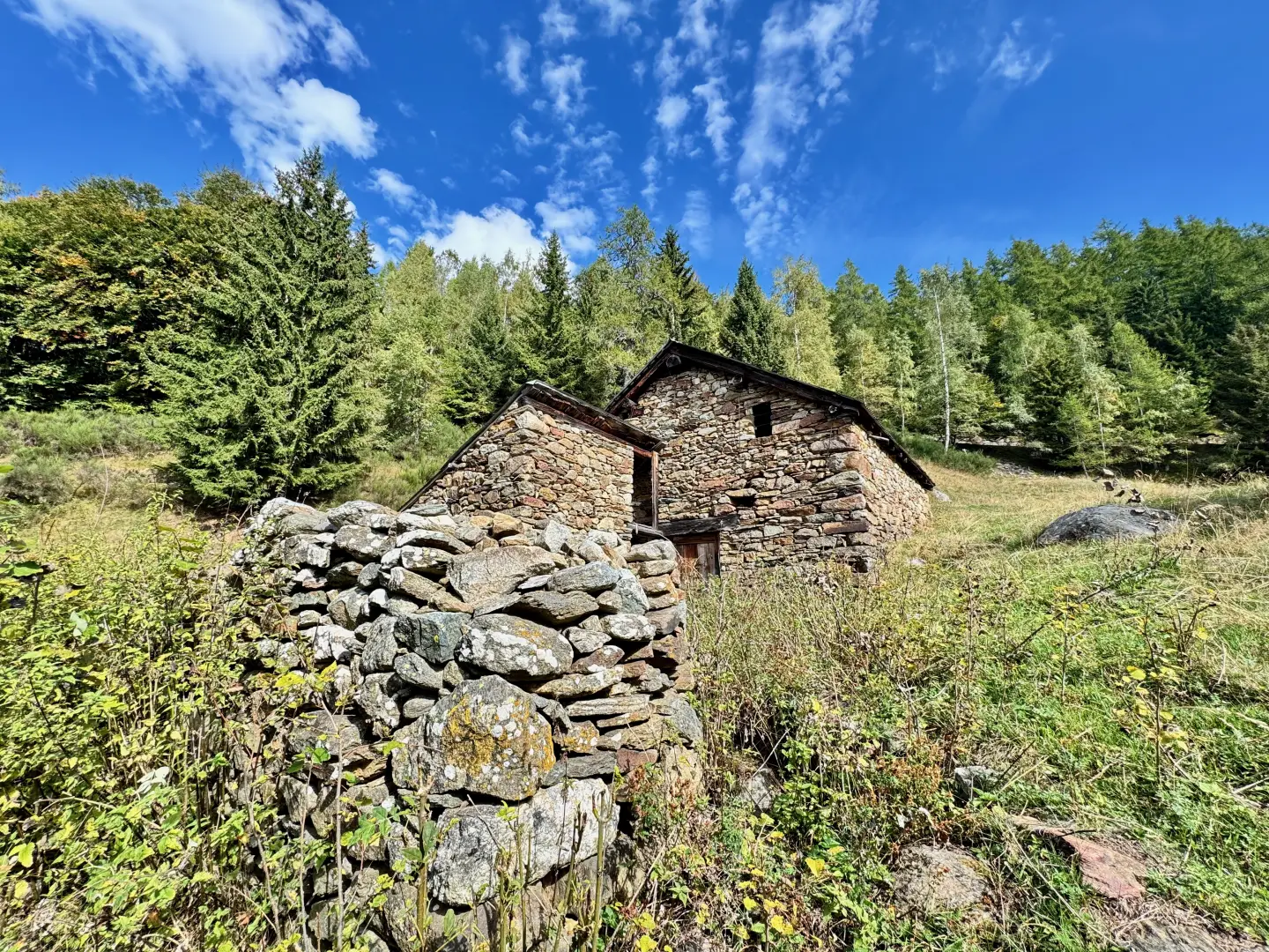
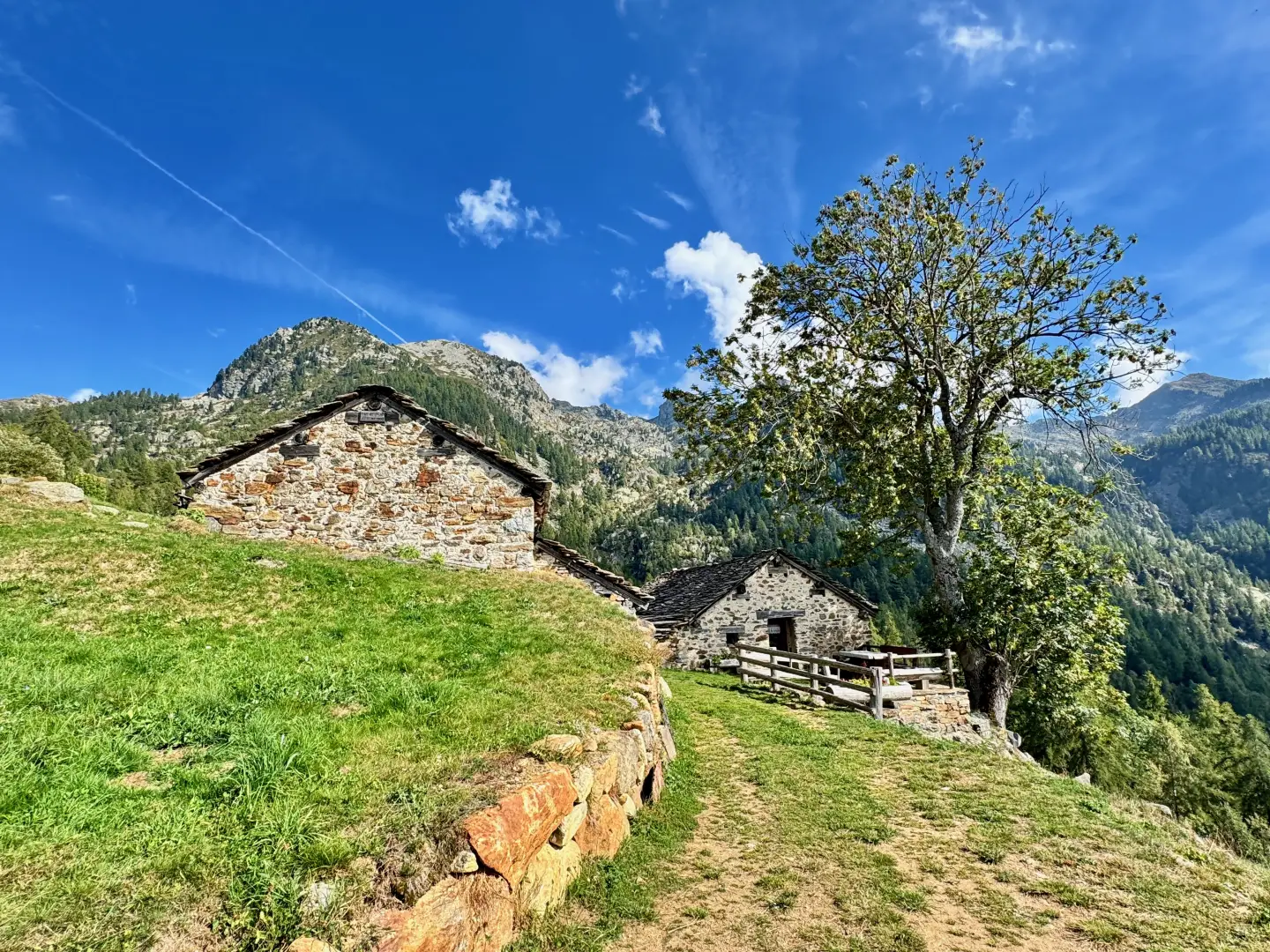
0h00' 0.00km At the beginning of the car park, near a stone-clad building, a signpost indicates the start of the path. Proceed in a southerly direction, entering the forest. After about one hundred metres, you come to a farm road, which must be followed until the next signposts that allow you to re-enter the path. Once back in the beech forest, cross a short stretch and reach an open, panoramic clearing, where the ruins of the old buildings of Bosc (1,497m) are located. A level section precedes the resumption of the climb, which leads to a second farm road, also signposted.
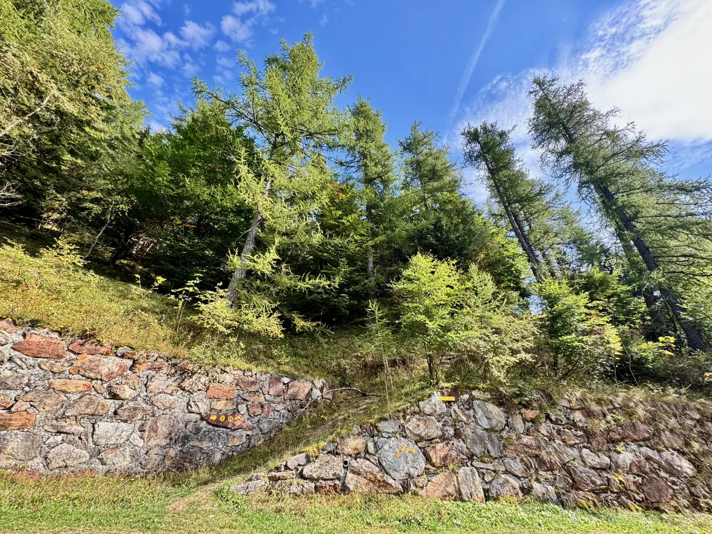
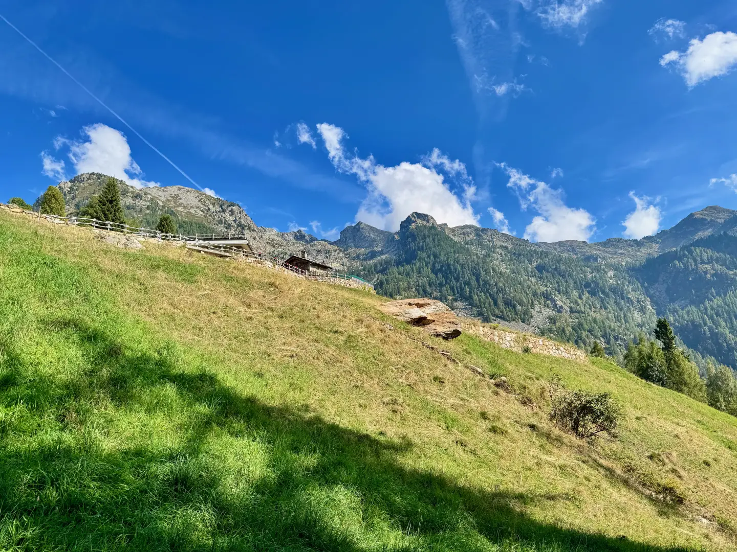
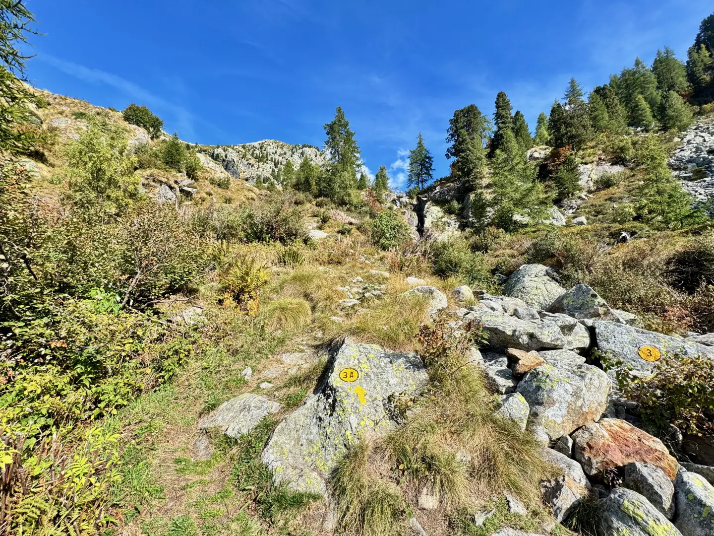
0h15' 0.55km Take the path again, following the yellow marks painted on the stone wall, which leads back into the wood to an isolated farmhouse. A short uphill stretch leads back to the pastureland, from where the view opens up over Vercosa. After turning left, you reach a small tarmac road: climb up it to the right to the mountain pasture (1,596m) and the small village of Vercosa (1,604m). Continue along the road for a short distance until you come to a new marker post.
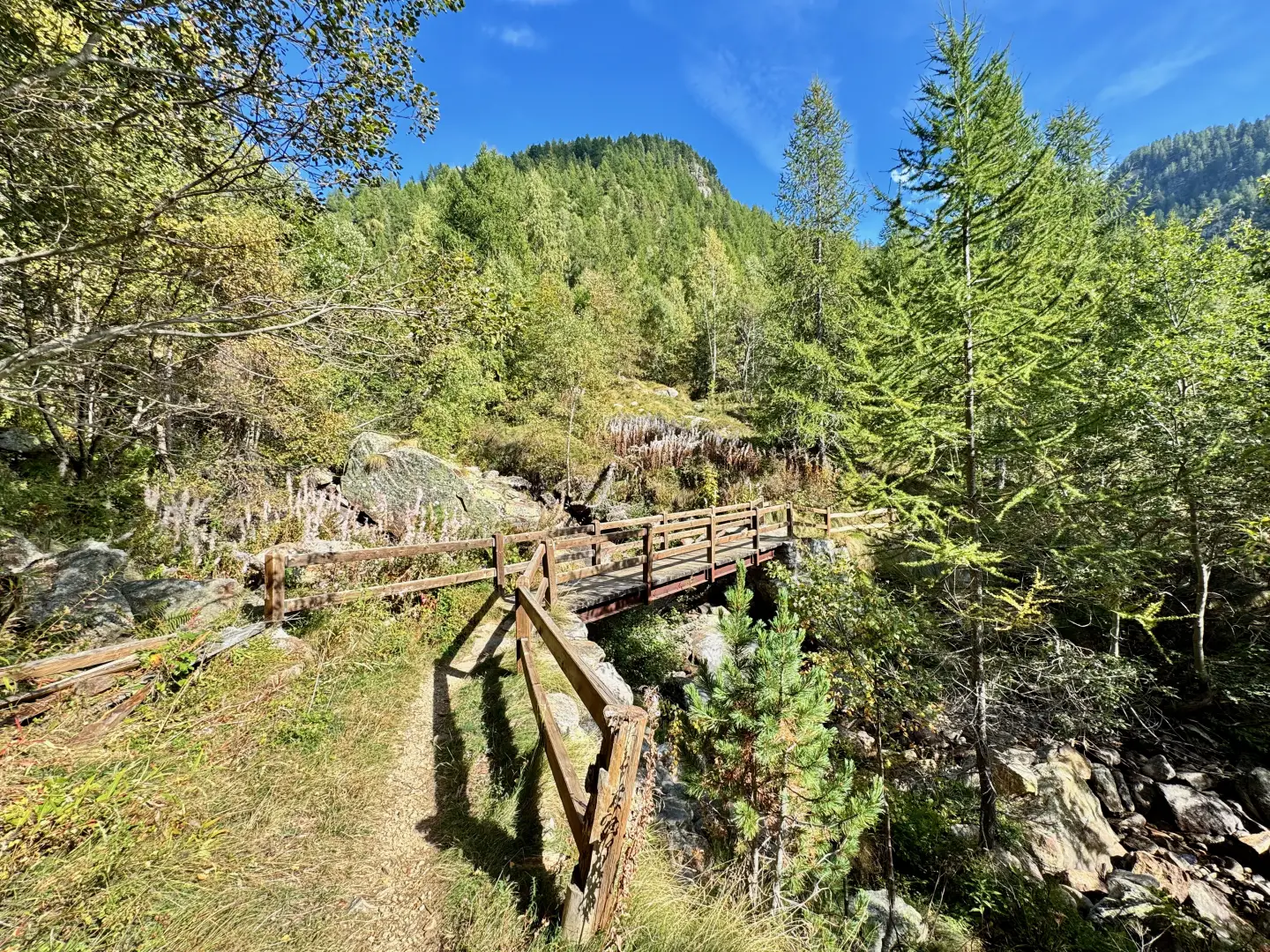
0h30' 1.24km Turn right and descend along the path that crosses pastures and sparse birch thickets, then start climbing again until you reach a small wooden bridge that crosses the Torrent de Gouillas. Continue the ascent within the characteristic landscape of the area, where stretches of forest and scree alternate. Some fine stone steps accompany the route, making its progress more harmonious, until reaching a fork at an altitude of 1,764m.
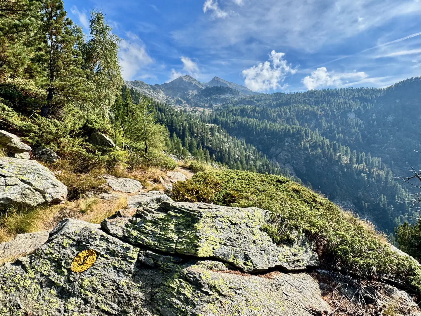
1h00' 1.24km Disregard the path on the left and turn right, immediately crossing the Torrent de Serrafredda by means of a wooden footbridge. Climb up a wooded ridge until reaching a viewpoint over the comba di Carisé and the border ridge between Piedmont and Valle d'Aosta. After appreciating the views, continue along the path that skirts the orographic right side of the hollow and, with a few ups and downs among the scree, reaches the centre of the hollow, where the slender Torrent de Carisé can be easily forded thanks to some boulders. Then proceed in a south-westerly direction, heading towards the isolated Carisé Dessous cottage (1,883m). A little further on, you reach the alpine pastureland of Carisé Dessus (1,930m), where the path turns left and climbs up a rocky ridge with a half-slope section that leads to a small shelf, where you will find a signpost and the junction of the path coming from Sassa.
1h45' 4.15km Neglect the path on the right and continue the ascent towards the now visible saddle of the col. With a few awkward passages between the boulders, you reach the grassy saddle of the Col de Carisé (2,124m), where you will find a rectangular boundary stone with the marker posts fixed to it 2h15' 4.46km .
The descent follows the same route: return to the alpine pastures of Carisé and continue in the direction of Vercosa, until returning to Coumarial (1,445m) 1h15' 5.23km .
Points of Interest
Collections
Galleria fotografica