Nearby
📍 Location Details
Latitude:
Longitude:
Accuracy:
Updated:
0 km
100 km
Path
km
-
km
m
m
Hike Type
Round trip
Circular
Crossing
Partially circular
Recommended Period
All
Hiking
Snowshoeing
Ski-mountaineering
Mountaineering
Via ferrata
Climbing
Mountain bike
Trekking
Active filters:
Tags: hiking,huts,aosta-valley
Showing 55 results
with active filters
Loading...

Edited by:
Massimo Martini
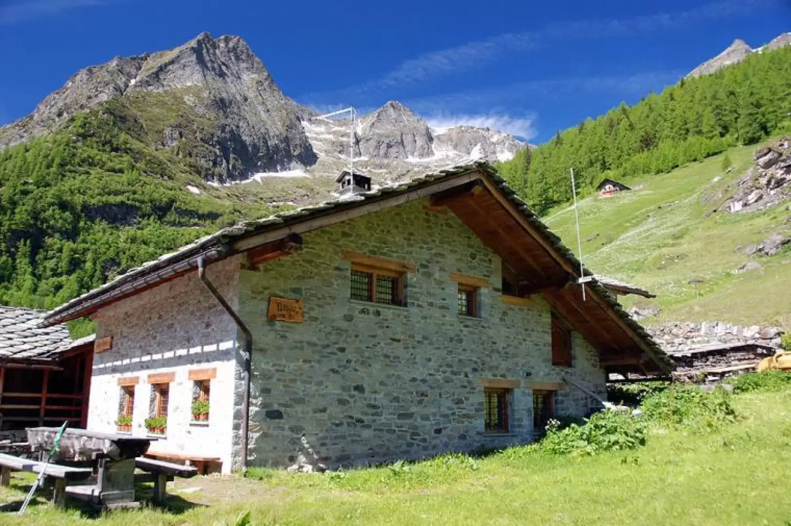
Alpenzù Refuge, from Tschemenoal
On the steep western slope of the Gressoney valley lies the village of Alpenzù, a Walser nucleus that bears witness...
T2
2.33 Km
361 m

Edited by:
Massimo Martini
Rifugio Aosta, da Place Moulin
Posto al termine del lunghissimo vallone di Tsa de Tsan il Rifugio Aosta rappresenta un'interessantissima meta per tutti coloro che...
T3
23.00 Km
821 m
Edited by:
Massimo Martini
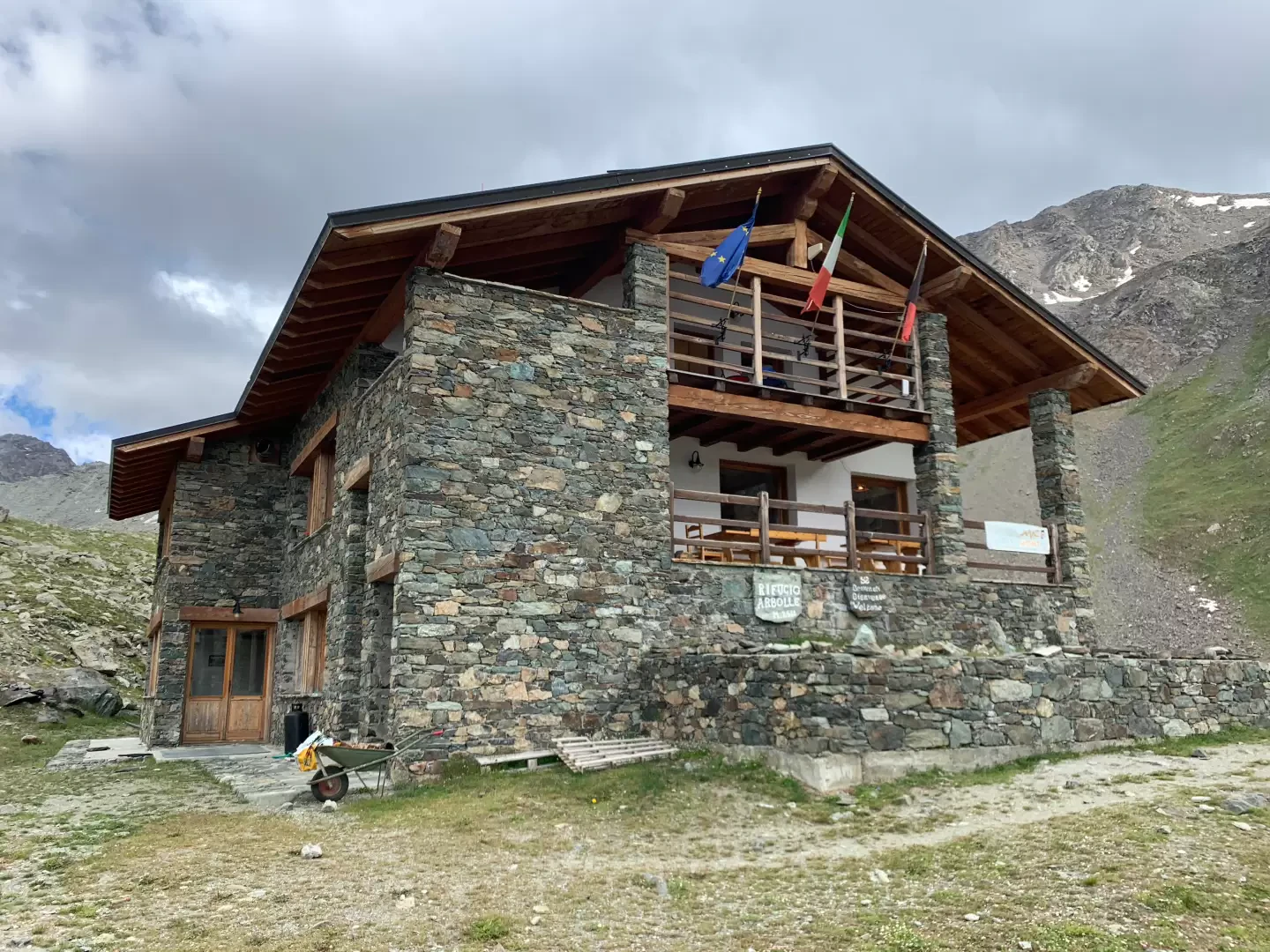
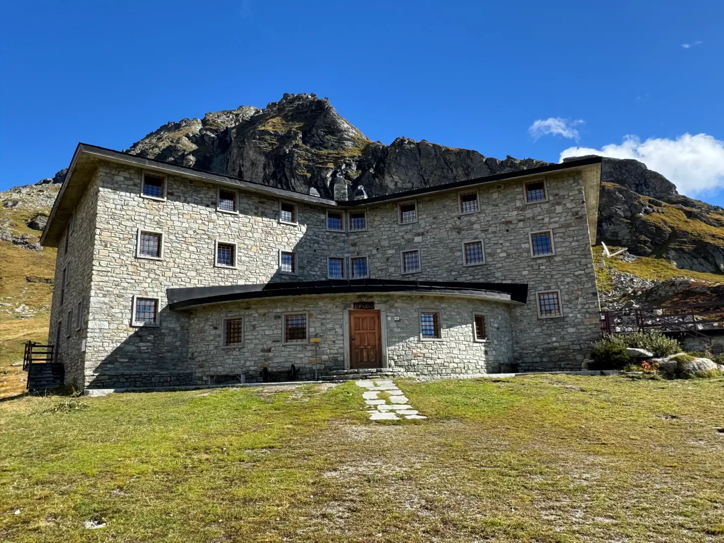
Arp Refuge, from the Fénillettaz car park on path 5F
A peaceful walk to a refuge nestled in the wide rocky basin at the foot of Punte Valnera and Valfredda....
T2
10.77 Km
575 m
Edited by:
Massimo Martini
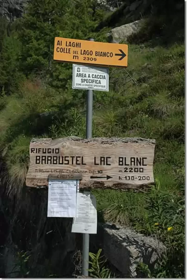
Barbustel Refuge, from the Lac Muffé car park
Located in the centre of the Mont Avic Regional Park, the Barbustel Refuge is both an interesting destination and a...
T2
6.70 Km
647 m
Edited by:
Massimo Martini
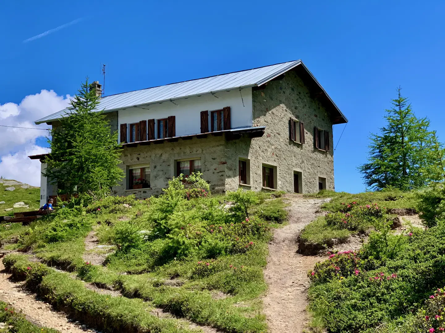
Barmasse Refuge, from Maen
Stepping into the heart of Valtournenche means walking along paths that tell the story of the history and nature of...
T2
8.44 Km
852 m

Edited by:
Massimo Martini
Rifugio Barmasse, from Valmartin
Here is the classic access route to the Barmasse hut. The route follows Alta Via 1 on an excellent mule...
T2
7.00 Km
690 m
Edited by:
Massimo Martini
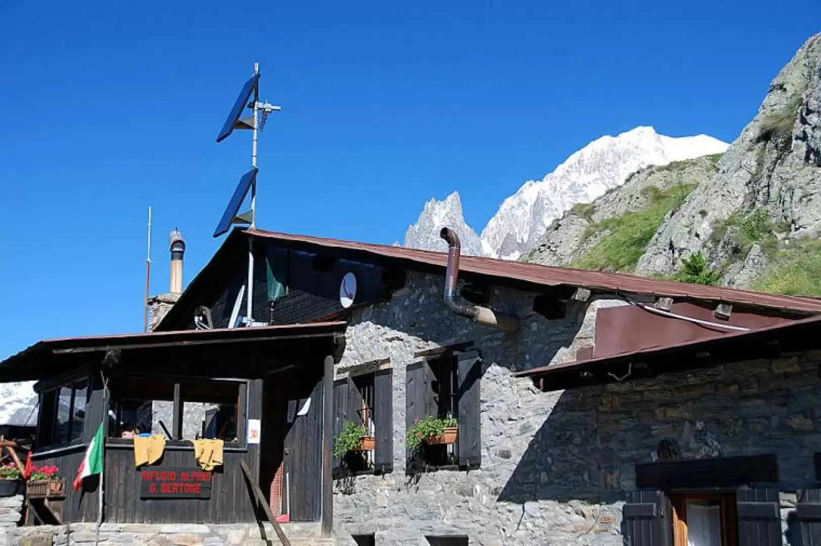
Bertone Mountain Hut, from the Raffort car park
A round-trip route that climbs up the Val Sapin valley, on the northern flank of the Mont Blanc massif, in...
T2
5.20 Km
573 m


Edited by:
Vittorio Martini
Rifugio Bezzi, da Surrier
Una comoda passeggiata nella parte terminale della Valgrisenche. Il non eccessivo dislivello vi permetterà di prendervi maggior cura dell'ottimo paesaggio...
T2
11.00 Km
500 m

Edited by:
Maurizio Bergamini
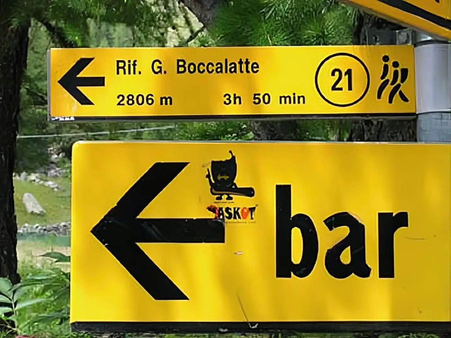
Boccalatte-Piolti Refuge, from Planpincieux
Not a very long, but intense hike, reaching the base for the attack on the Grandi Jorasses.
T3
8.00 Km
1224 m

Edited by:
Massimo Martini
Bonatti Refuge, from the car park after Lavachey
Short walk to one of the most popular destinations in Val Ferret. The itinerary unfolds entirely on a path that...
T2
3.00 Km
320 m

Edited by:
Maurizio Loconti
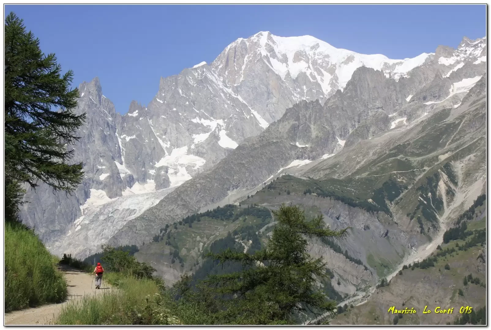
Bonatti Refuge, along the balcony from Planpincieux
Planpincieux - ref. Bonatti: panoramic balcony over the Mont Blanc chain in Val Ferret (AO).
T2
0.00 Km
500 m