Nearby
📍 Location Details
Latitude:
Longitude:
Accuracy:
Updated:
0 km
100 km
Path
km
-
km
m
m
Hike Type
Round trip
Circular
Crossing
Partially circular
Recommended Period
All
Hiking
Snowshoeing
Ski-mountaineering
Mountaineering
Via ferrata
Climbing
Mountain bike
Trekking
Active filters:
Tags: hiking,la-magdeleine
Showing 9 results
with active filters
Loading...

Edited by:
Massimo Martini
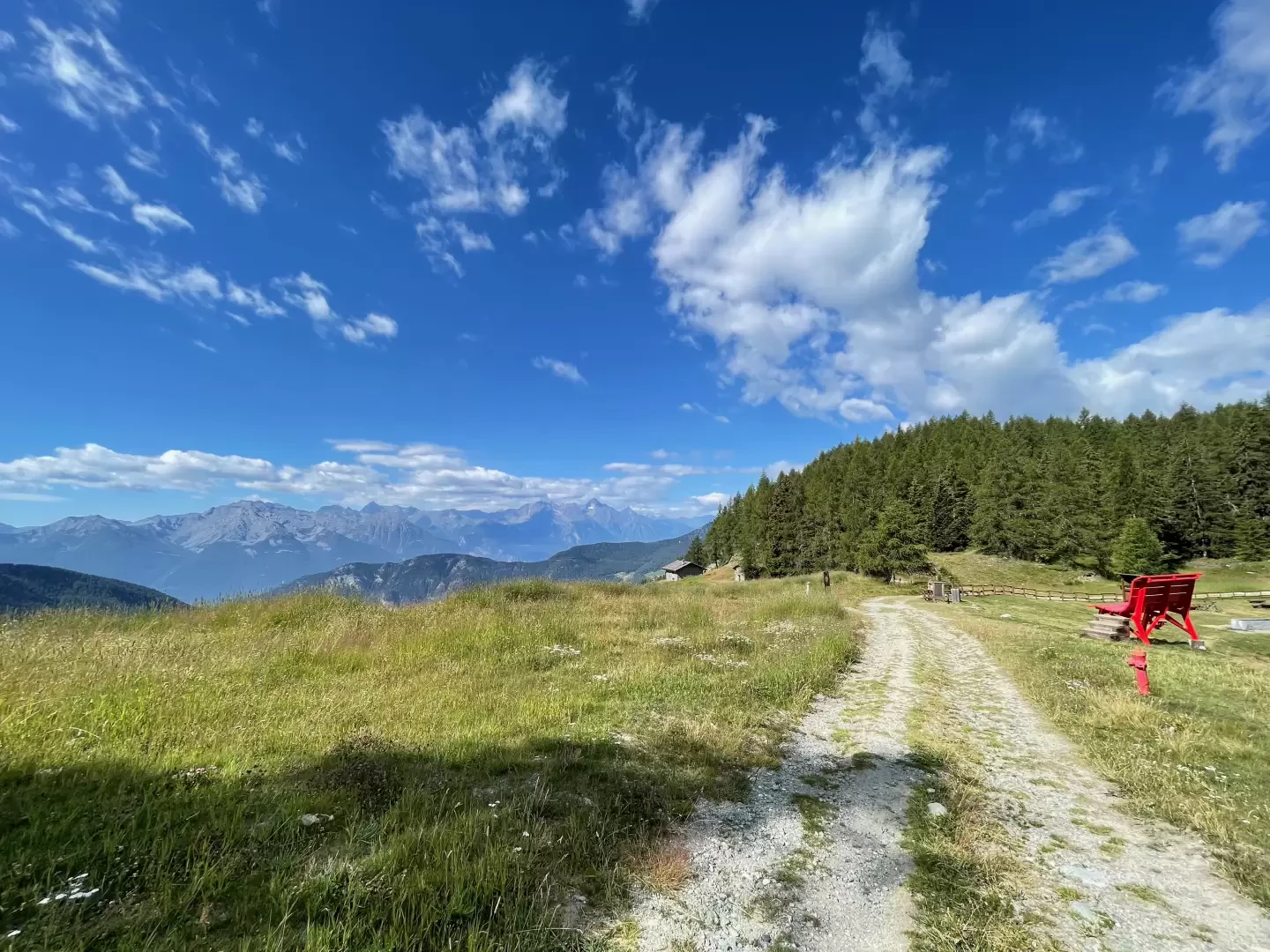
Col Pilaz, from Brrengon
The Col Pilaz is a popular destination for hikers and mountain lovers. It is possible to hike and trek along...
T2
5.20 Km
356 m
Edited by:
Massimo Martini
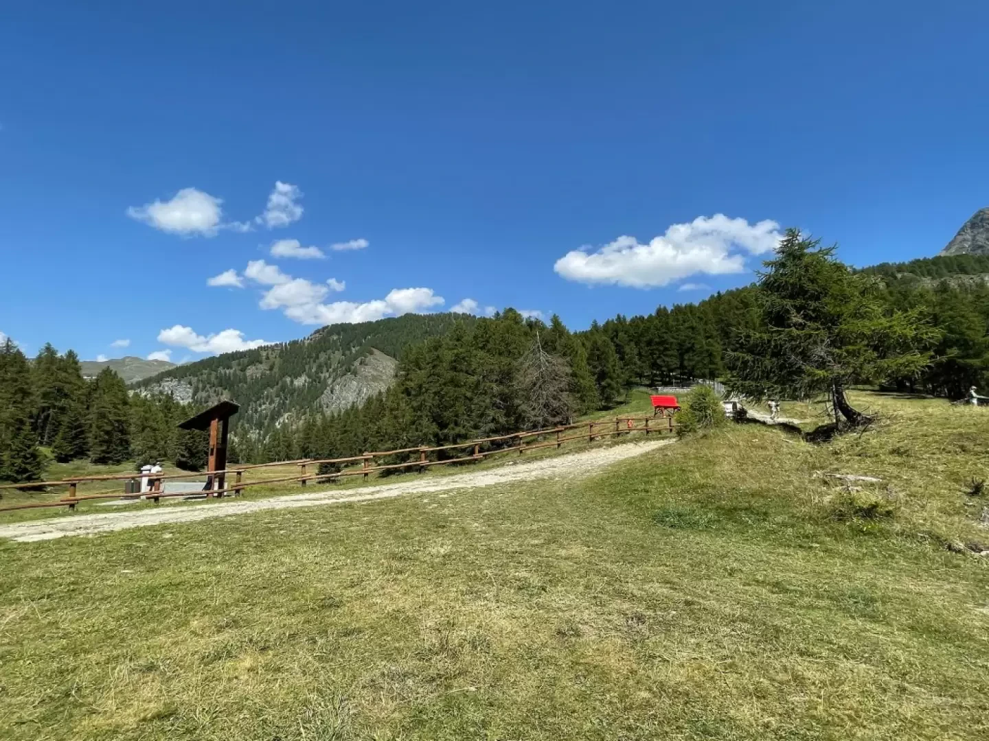
Col Pilaz, from the Vieu car park
The Col Pilaz is a wide saddle that divides La Magdeleine from Chamois. On the wide pass, in addition to...
T2
3.00 Km
277 m
Edited by:
Massimo Martini
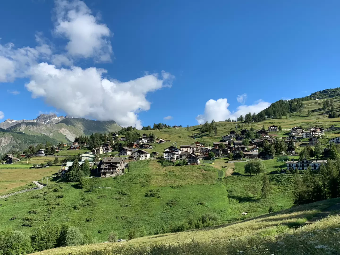
Corgnolaz, from the Vieu car park
Chamois holds several records. It is one of the highest municipalities in Italy and is the only one that can...
T1
10.30 Km
250 m

Edited by:
Massimo Martini
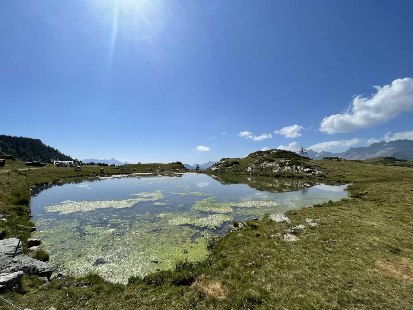
Lacs de Champlong, from Vieu
The Champlong lakes are located in the municipality of La Magdeleine, in Valle d'Aosta, Italy. Below is some information about...
T2
9.50 Km
632 m

Edited by:
Gian Mario Navillod
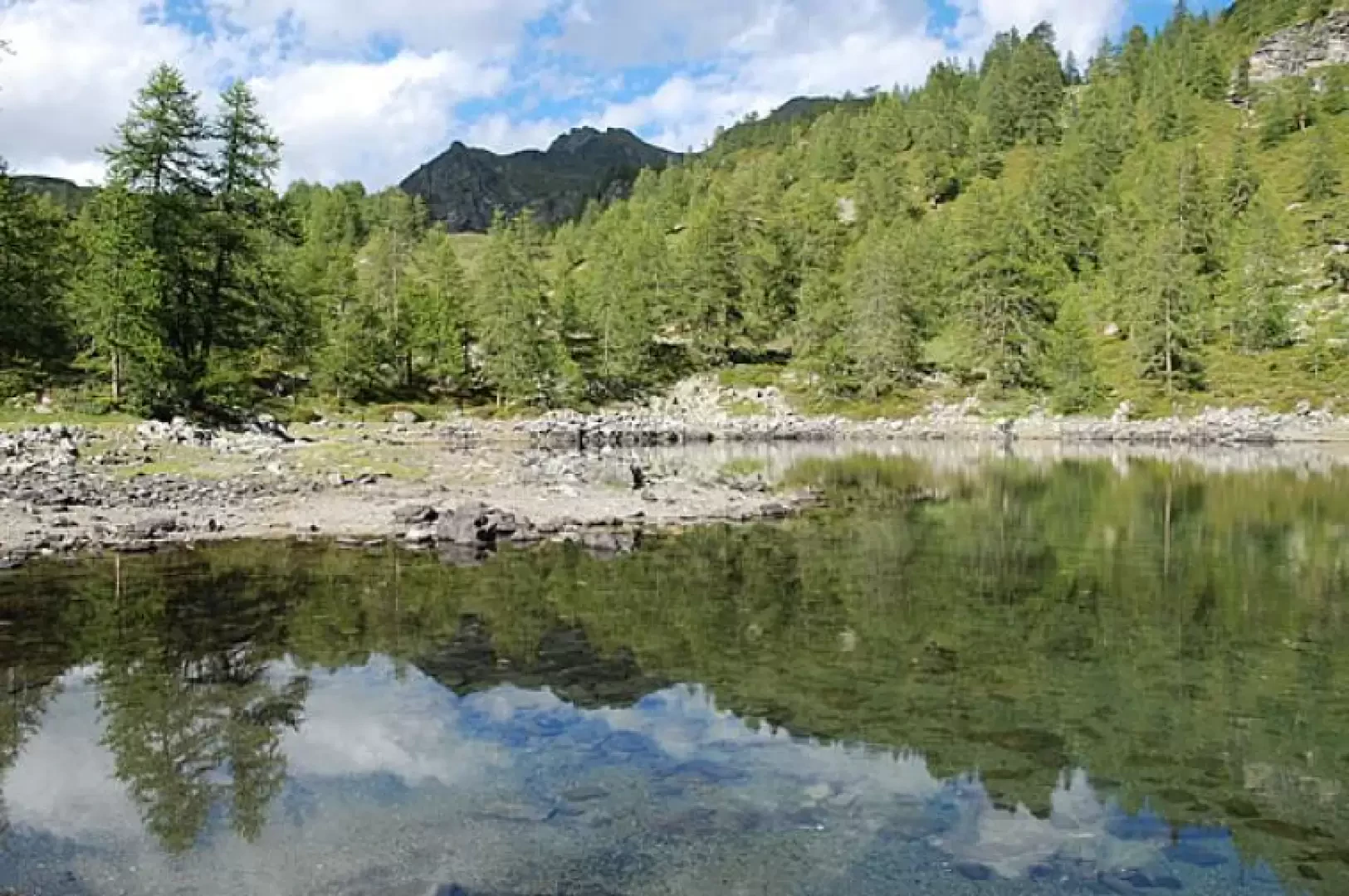
Lake Charey, from the Artaz car park
Lake Charey is located at the foot of Mont Tantané: a walk for the family.
T2
5.63 Km
428 m
Edited by:
Massimo Martini
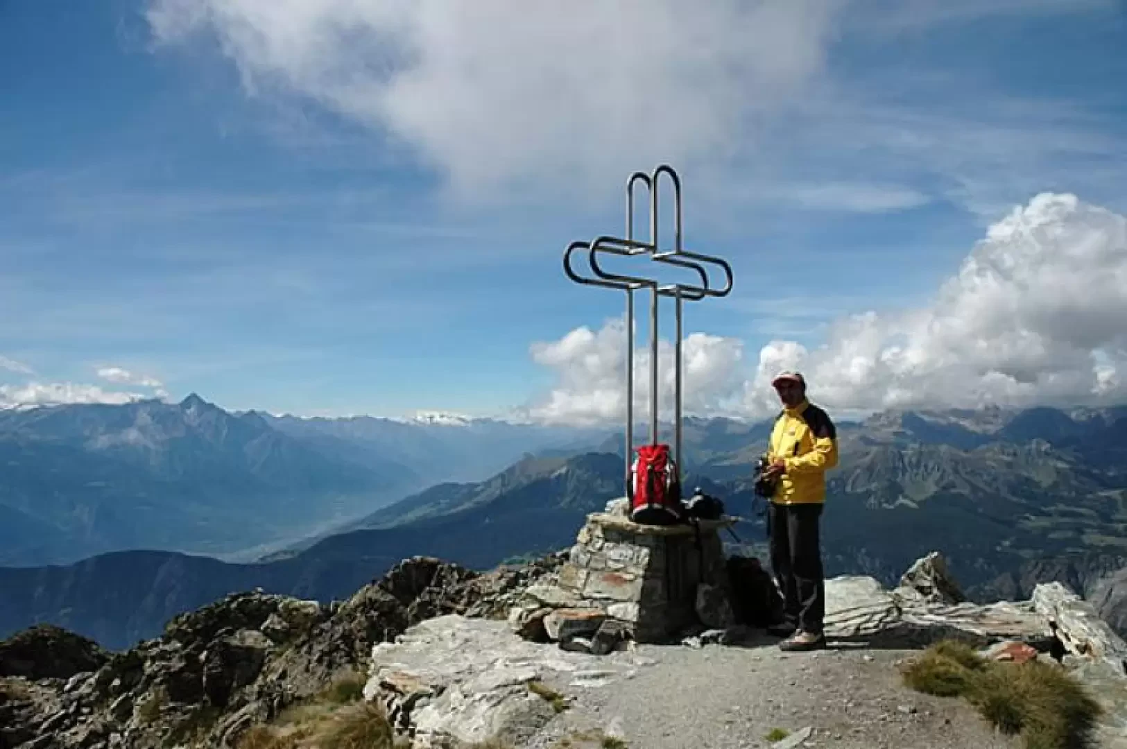
Mont Tantané, from the Artaz car park
Interesting loop on the slopes of Mont Tantané: the proposed route is configured as a loop and provides a beautiful...
T2
9.50 Km
1019 m
Edited by:
Massimo Martini
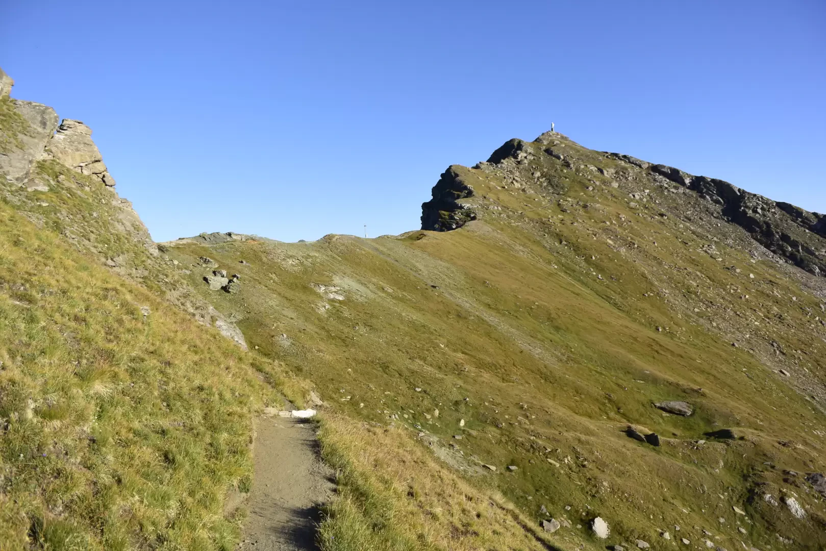
Mont Zerbion, from Artaz
A delightful hike starting from the village of Artaz in the commune of La Magdeleine and ascending through the cool...
T2
15.00 Km
1241 m
Edited by:
Gian Mario Navillod
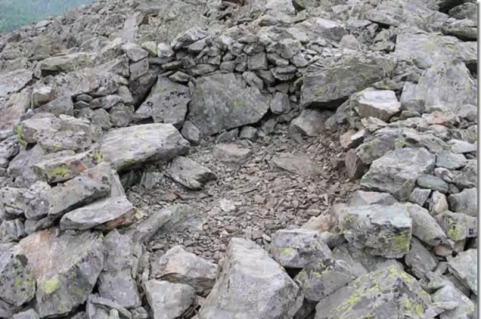
Salassi Village, from the Artaz car park
A wonderful excursion for families. For the most part, the route runs along dirt roads with little use for motor...
T2
0.00 Km
637 m