Nearby
📍 Location Details
Latitude:
Longitude:
Accuracy:
Updated:
0 km
100 km
Path
km
-
km
m
m
Hike Type
Round trip
Circular
Crossing
Partially circular
Recommended Period
All
Hiking
Snowshoeing
Ski-mountaineering
Mountaineering
Via ferrata
Climbing
Mountain bike
Trekking
Active filters:
Tags: hiking,pass,valtournenche-valley
Showing 10 results
with active filters
Loading...

Edited by:
Massimo Martini
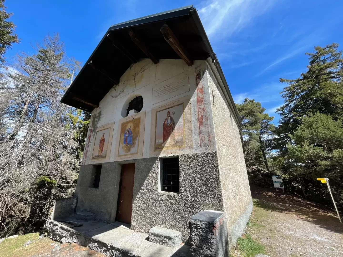
Chapel of Saint-Pantaléon, from Mognod
The hike to the chapel of Saint-Pantaléon winds its way between the houses of Mognod and the open pastures dominating...
T2
5.68 Km
191 m
Edited by:
Massimo Martini
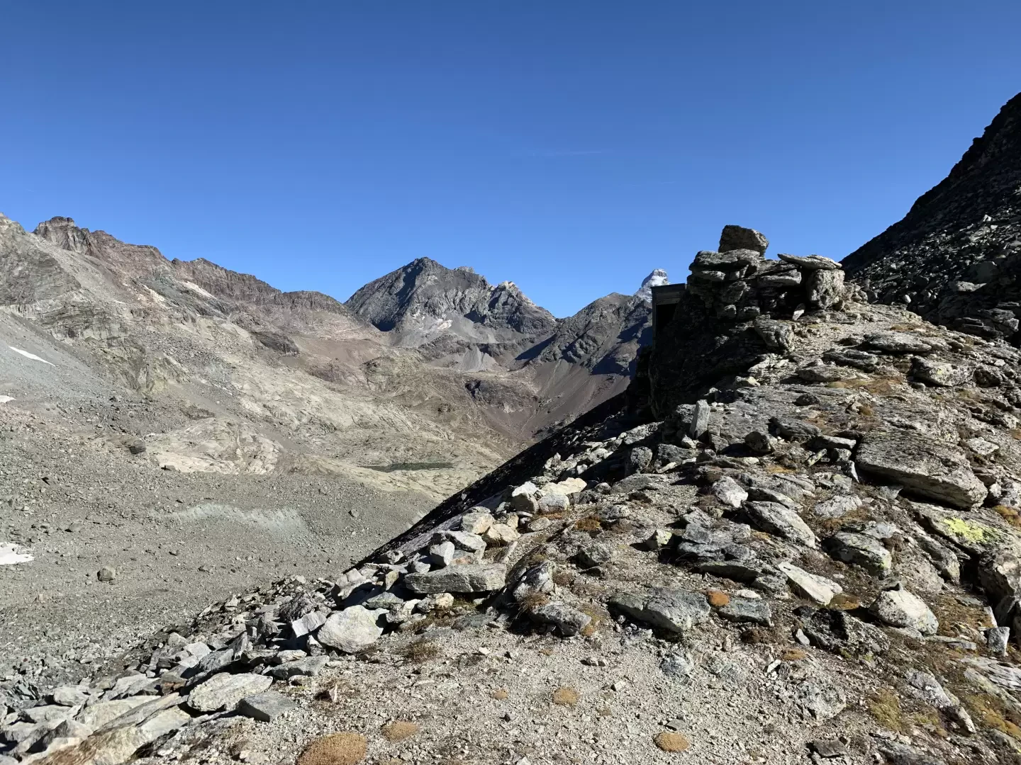
Col de Fort, from Etirol
Il Col de Fort (2.909m) è un valico poco frequentato che mette in comunicazione la Valtournenche con il vallone di...
T2
17.00 Km
0 m

Edited by:
Ivano Ruffoni
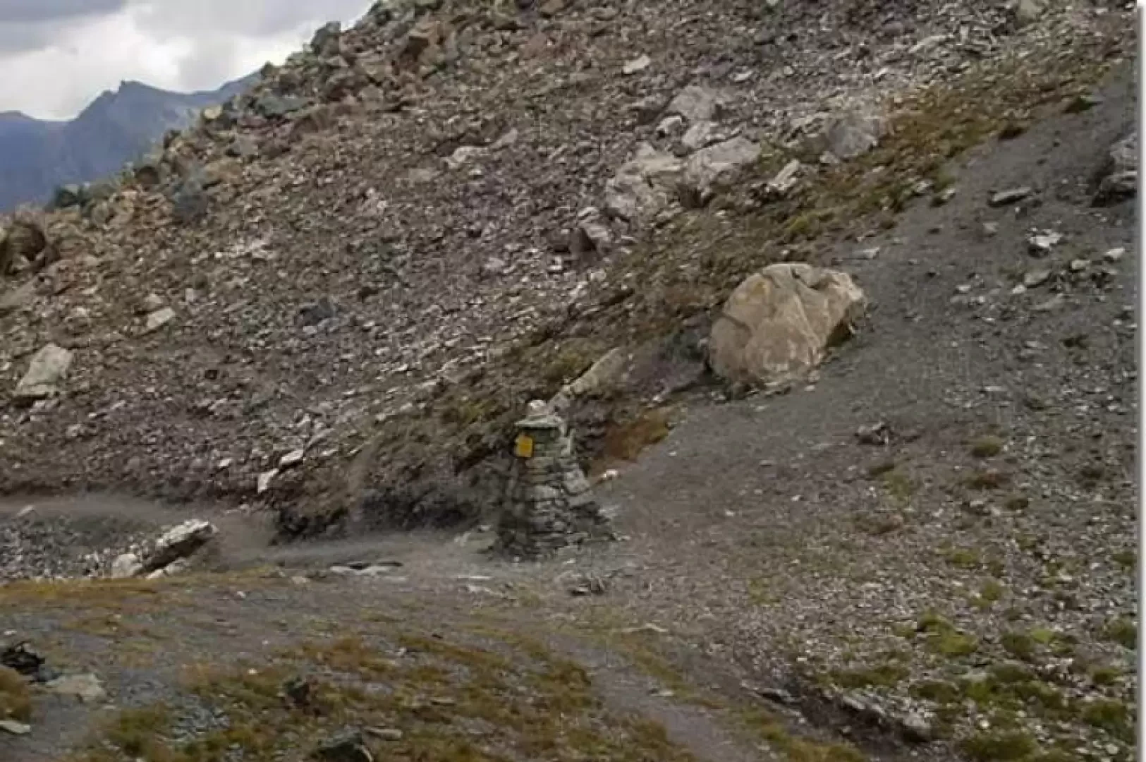
Col de Nannaz, from the Barmaz car park
The Col de Nannaz is an ancient and much frequented pass between Valtournenche and the Ayas valley. It separates the...
T2
0.00 Km
749 m
Edited by:
Massimo Martini
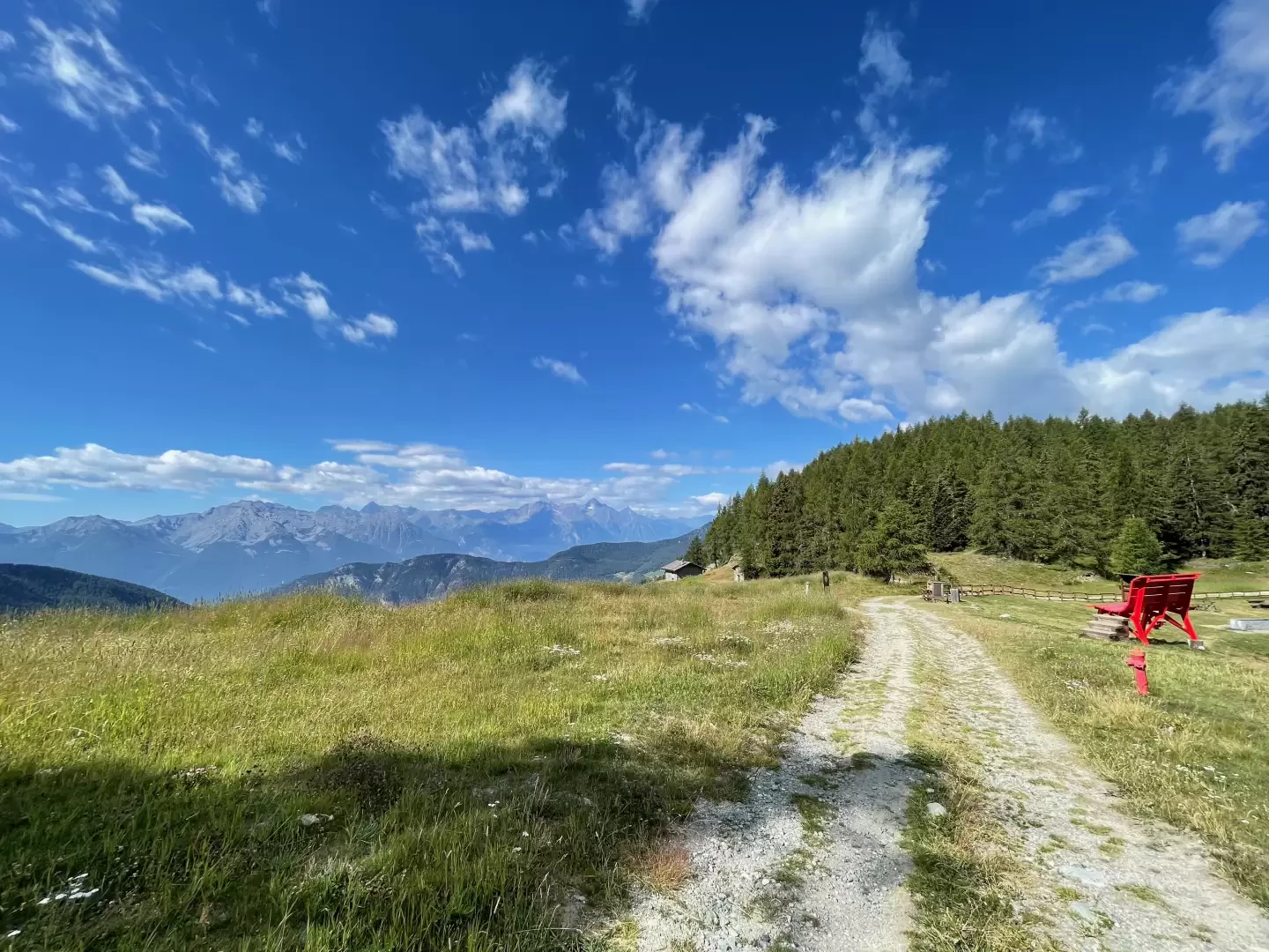
Col Pilaz, from Brrengon
The Col Pilaz is a popular destination for hikers and mountain lovers. It is possible to hike and trek along...
T2
5.20 Km
356 m
Edited by:
Massimo Martini
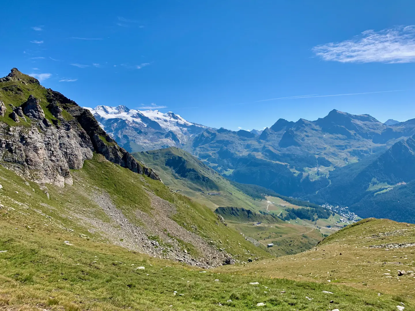
Via Col Pillonet, from Corgnolaz
A hike that climbs from Corgnolaz, the main village of Chamois – accessible only by cable car from Buisson –...
T2
9.02 Km
924 m
Edited by:
Massimo Martini
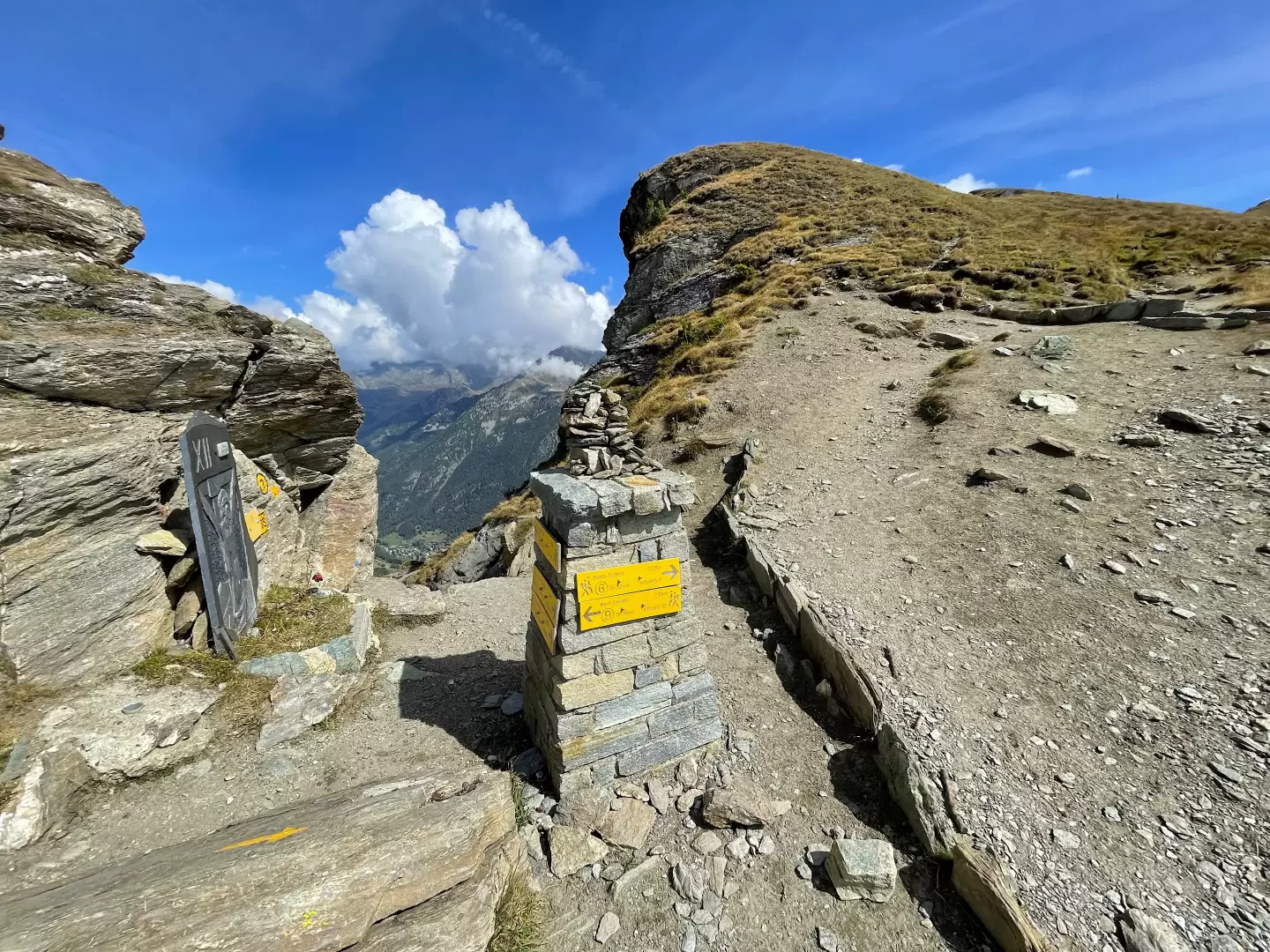
Col Portola, from Promiod
The Col Portola is a pass in the Pennine Alps located in Valle d'Aosta, between the municipalities of Châtillon and...
T2
12.50 Km
930 m

Edited by:
Massimo Martini
Teodulo Pass, from the Breuil-Cervinia car park
A climb from the Breuil-Cervinia car park to the Colle del Teodulo (3,316m), the border pass between Valtournenche and the...
T2
17.36 Km
1315 m
Edited by:
Massimo Martini
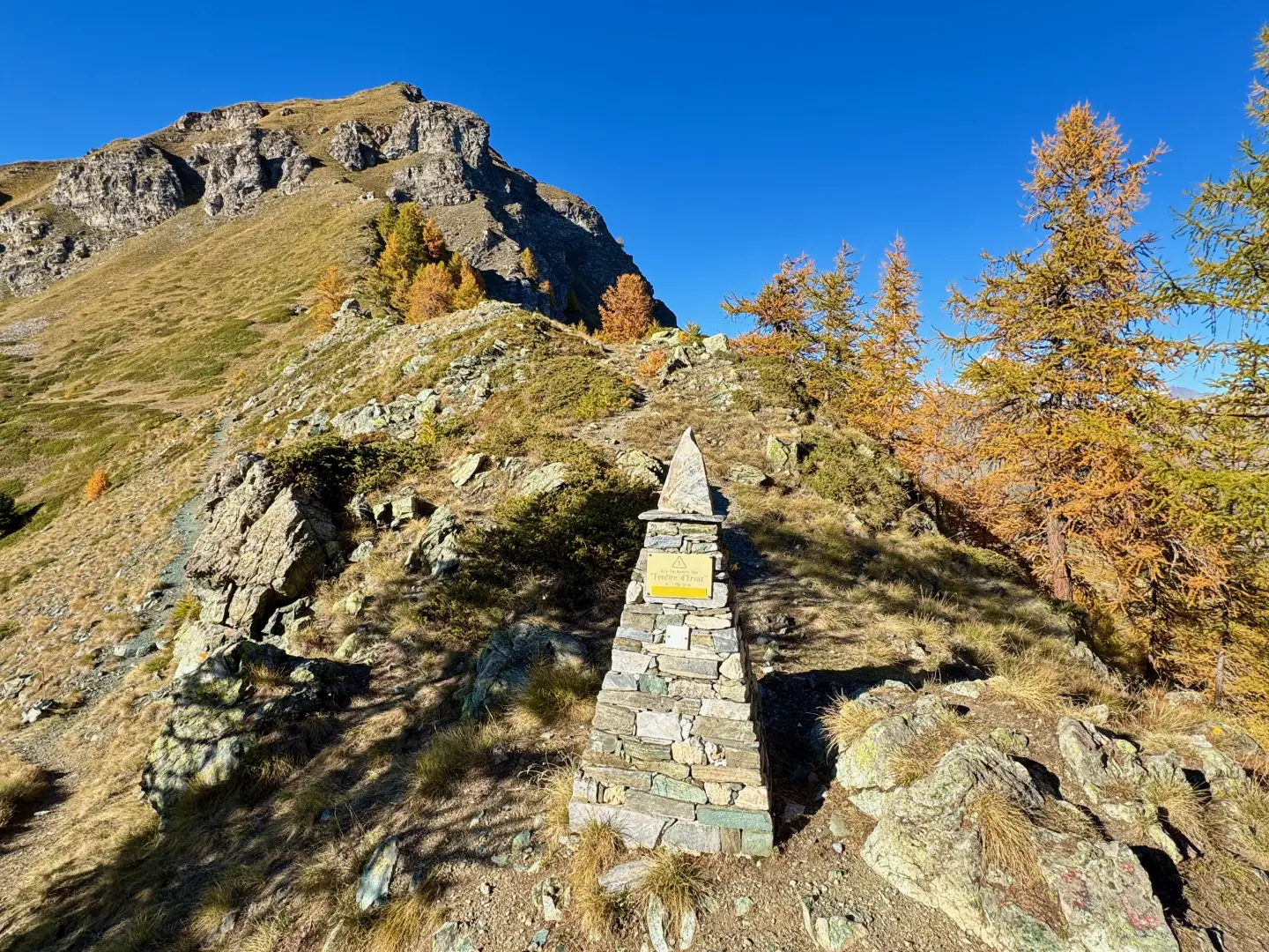
Fenêtre d'Ersaz, from Etirol
La Fenêtre d'Ersaz (2,290m) is one of the most interesting excursion destinations in Valtournenche, located in the municipality of Torgnon,...
T2
9.74 Km
692 m
Edited by:
Massimo Martini
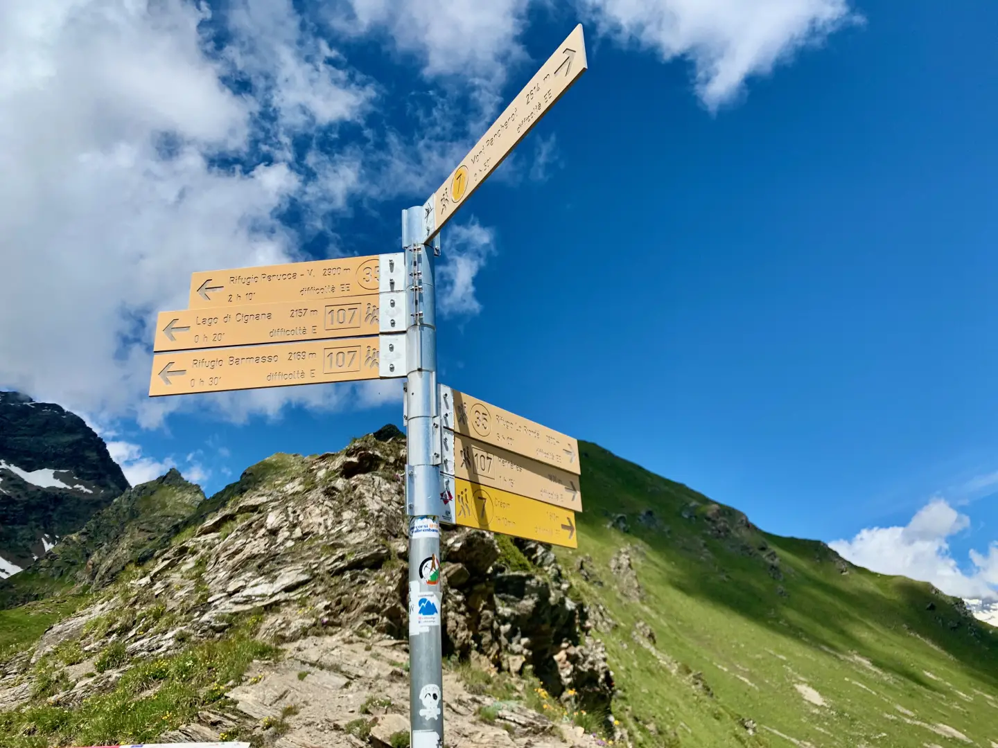
Cignana Window, from Les Perrères
The Finestra di Cignana is a wide grassy inlet separating Mont Pancherot from Mont Seriola, connecting the Comba di Cignana...
T2
8.52 Km
608 m
Edited by:
Massimo Martini
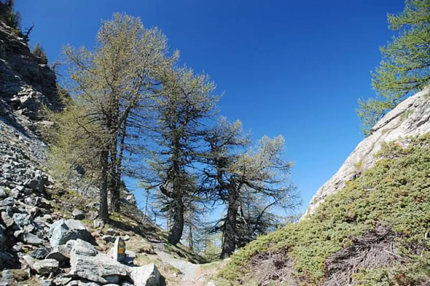
La Fenêtre, from Golette
La Fenêtre is one of the three hiking passes linking Torgnon with the Saint-Barthélemy valleys. This short hike provides a...
T2
0.00 Km
295 m