Nearby
📍 Location Details
Latitude:
Longitude:
Accuracy:
Updated:
0 km
100 km
Path
km
-
km
m
m
Hike Type
Round trip
Circular
Crossing
Partially circular
Recommended Period
All
Hiking
Snowshoeing
Ski-mountaineering
Mountaineering
Via ferrata
Climbing
Mountain bike
Trekking
Active filters:
Tags: hiking,summits,1000,lombardy
Showing 22 results
with active filters
Loading...


Edited by:
Rita Tarussello
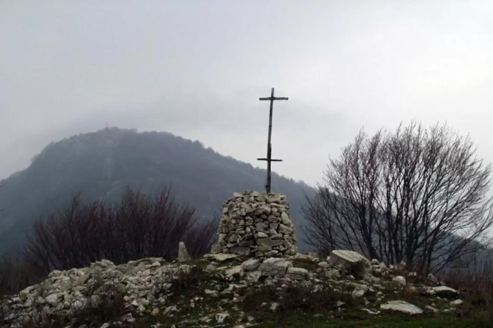
Ring of the Horns of Canzo
A pleasant and very interesting excursion in the heart of the Larian Triangle around the three Corni di Canzo, through...
T3
0.00 Km
756 m

Edited by:
Ivano Ruffoni
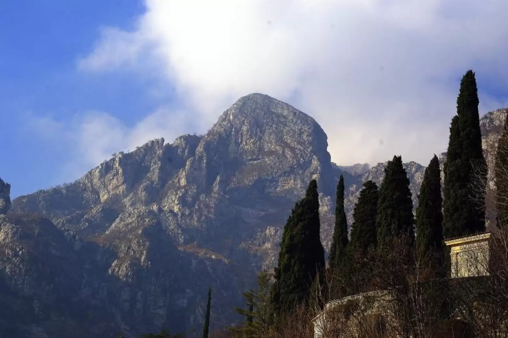
Cima Comer, from Sasso
The Cima Comer is a grassy elevation rich in limestone outcrops to the south of Monte Denervo and separated from...
T2
0.00 Km
750 m

Edited by:
Marco Bonati
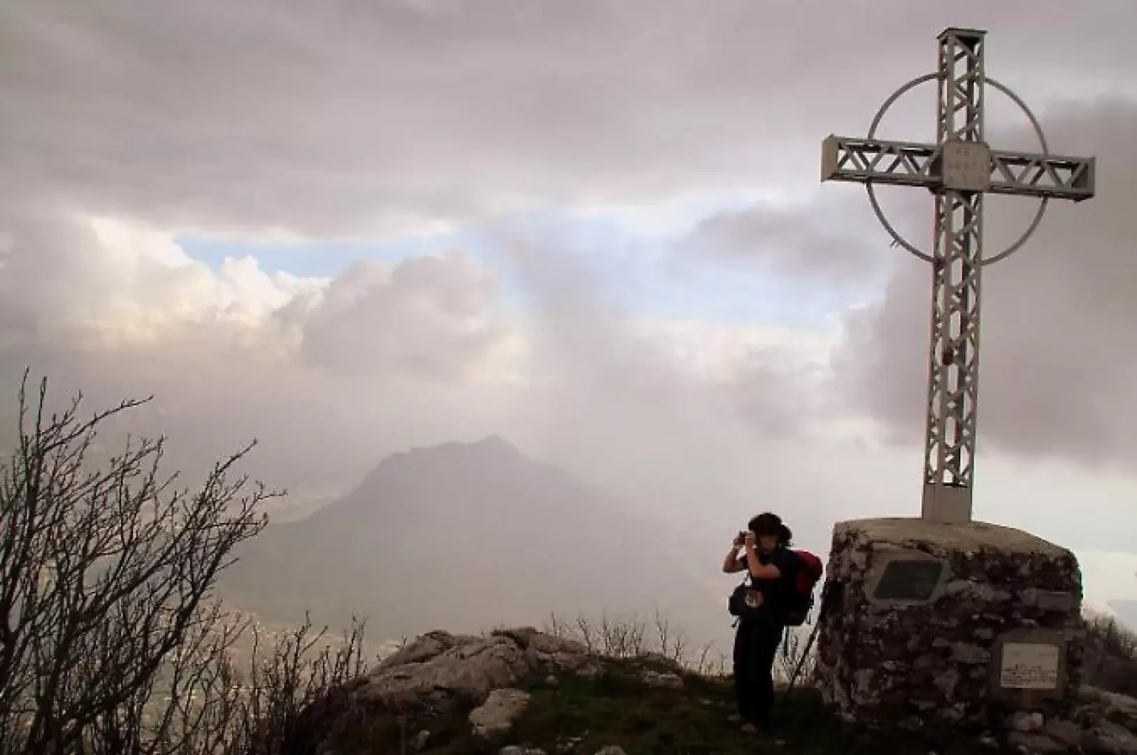
Corno Birone, from San Martino
This is a non-trivial excursion, which can be done all year round (but is prohibitive in the hot months due...
T4
6.00 Km
816 m
Edited by:
Marco Bonati
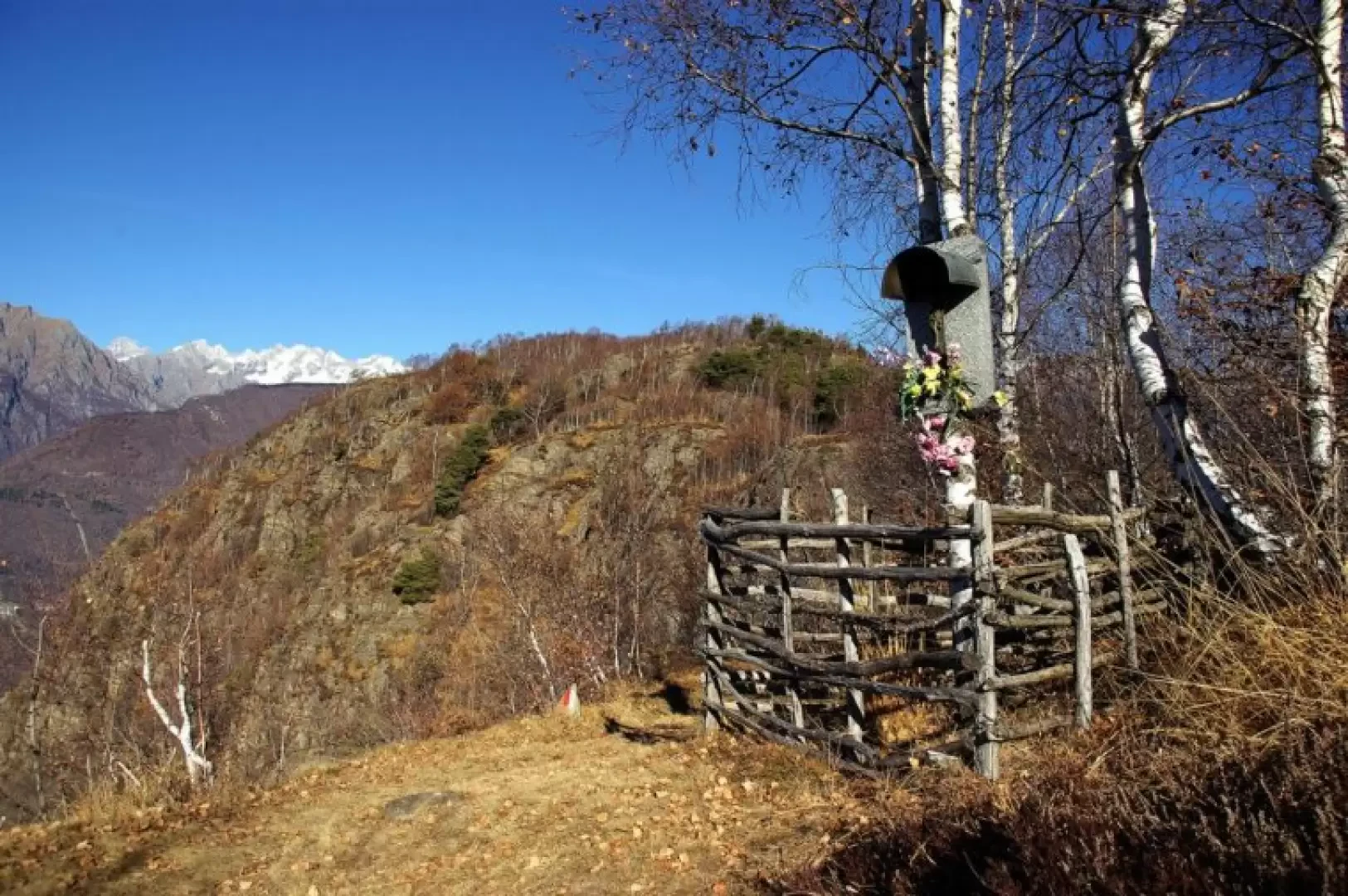
Corno di Canzo orientale, from the Sanctuary of San Martino
The area of the Corni di Canzo is a classic destination for hikes of every taste and difficulty: from the...
T3
8.55 Km
944 m
Edited by:
Marco Bonati
Crap del Mezzodì, from provincial road 11
Short half-day excursion that leads up a 'crap' (in Valtellinese dialect, this is a rounded rocky summit, rather isolated from...
T2
0.00 Km
681 m
Edited by:
Marco Bonati
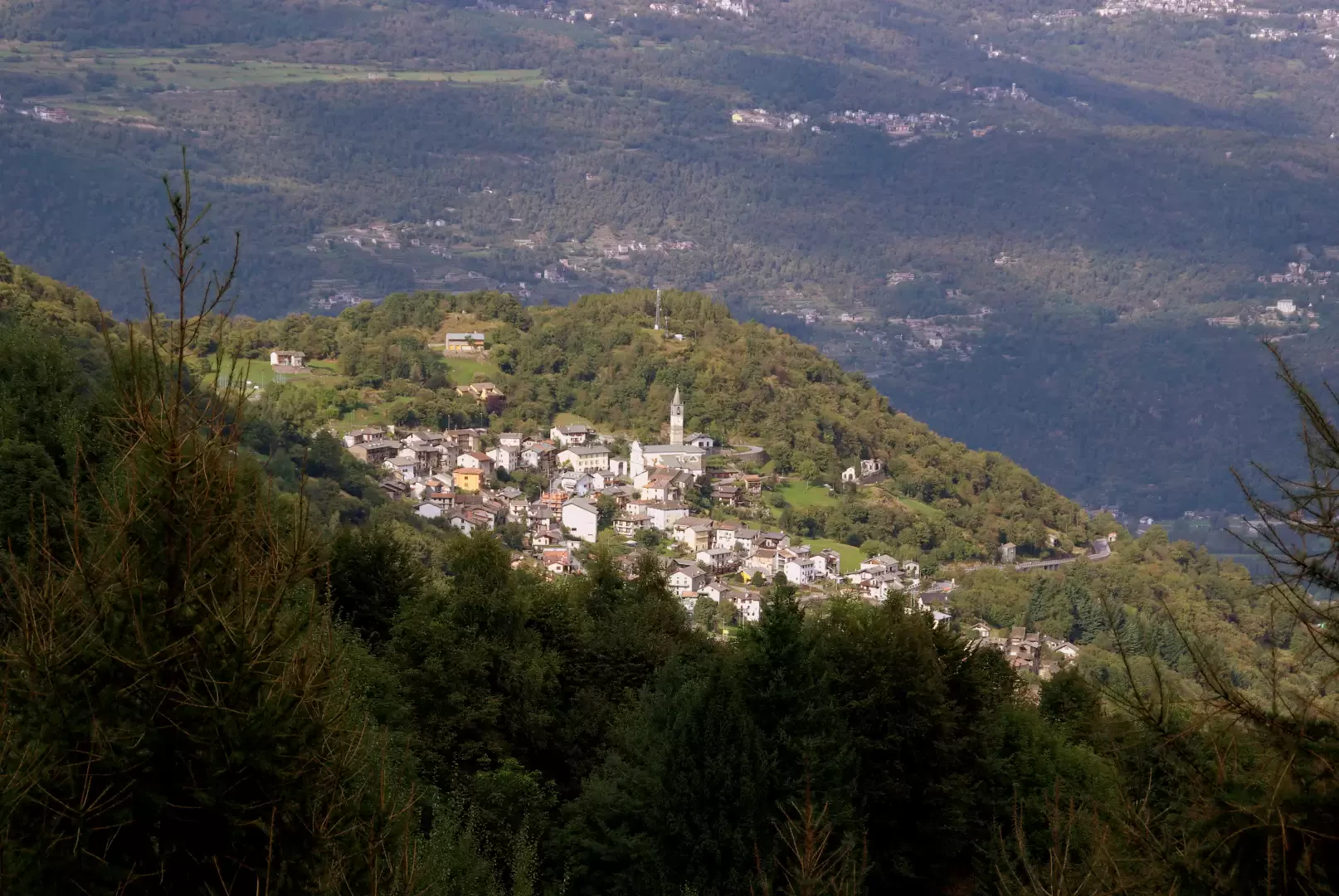
The Dosso di Sant'Antonio
A very pleasant excursion, completely looped, which takes you across several maggenghi at the entrance to the Valgerola. You pass...
T2
0.00 Km
550 m
Edited by:
Marco Bonati
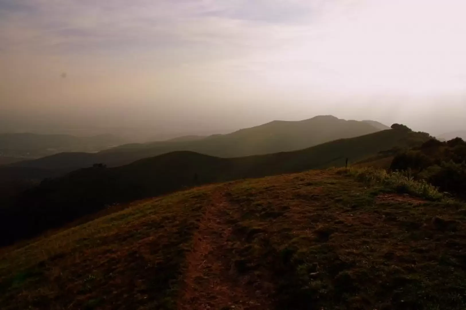
Mount Bolettone, from Alpe del Viceroy
A short loop hike leading to one of the most popular peaks of the Lombardy Pre-Alps in every season. The...
T1
0.00 Km
459 m
Edited by:
Ivano Ruffoni
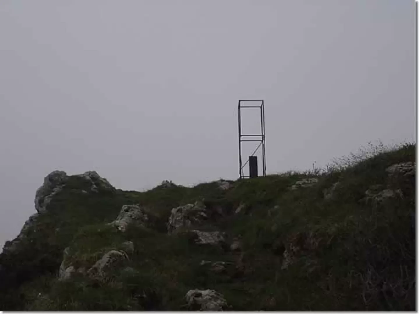
Monte Caplone and Cima Tombea
A classic excursion in the Alto Garda Bresciano Park of great botanical and historical interest. The itinerary leads to the...
T2
0.00 Km
941 m

Edited by:
Rita Tarussello
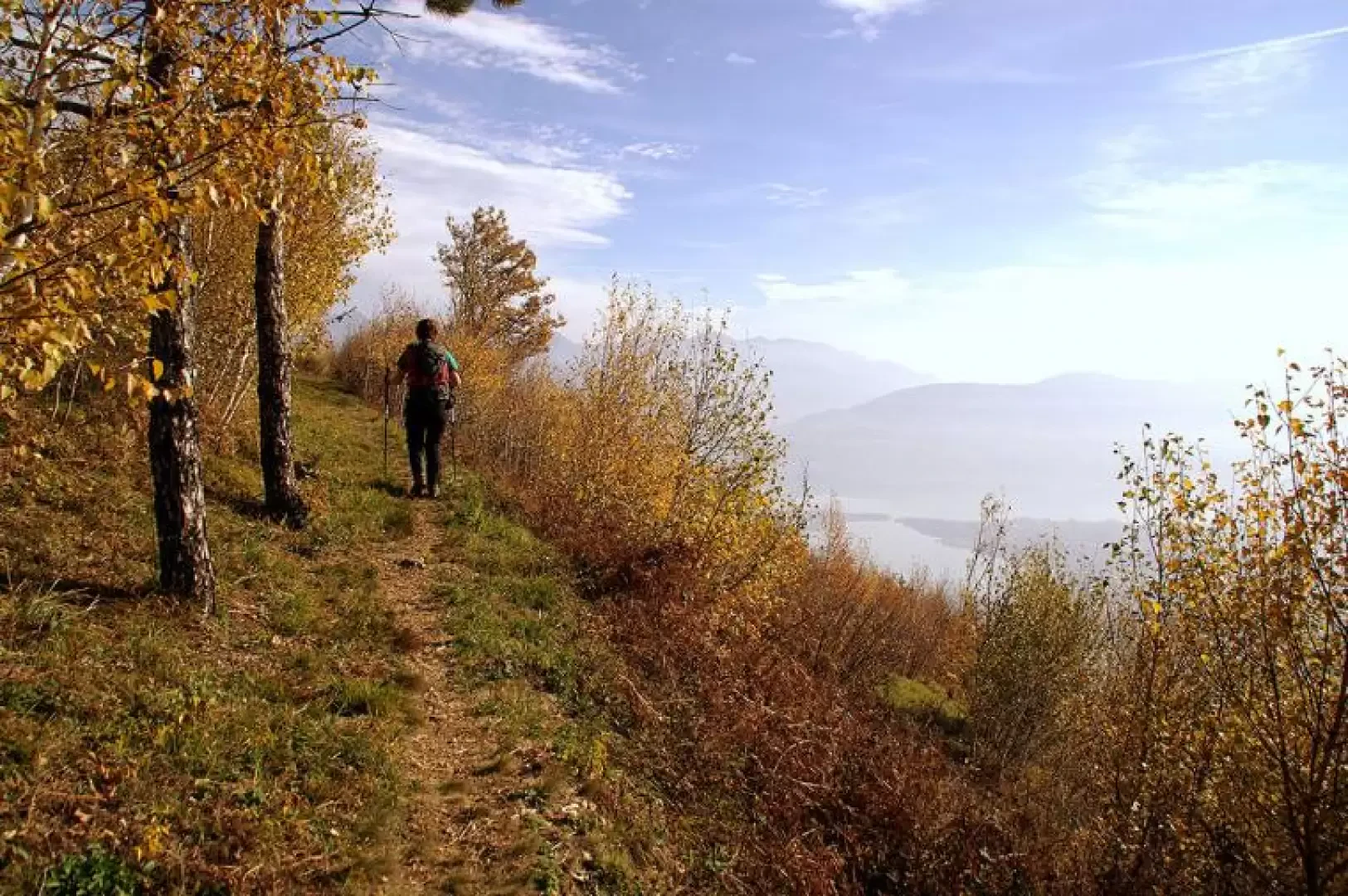
Monte Coltignone
Il Coltignone è il monte più alto della Costiera di S. Martino, un gruppo di cime che dal Pian dei...
T4
13.00 Km
1262 m
Edited by:
Marco Bonati
Monte Cornizzolo, from Carella
Easy hike, but long and tiring due to the loss of altitude and the ascent that the return route imposes....
T2
0.00 Km
870 m

Edited by:
Marco Bonati
Mount Magnòdeno
Classic and busy hike in the Lecco area, providing excellent views of the mountains surrounding the city, the lake and...
T2
0.00 Km
1010 m
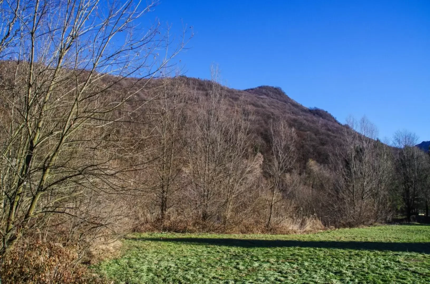
Edited by:
Marco Bonati
Monte Martica, from Brinzio
Classic round trip that - in the territory of the Campo dei Fiori Regional Park - leads to the summit...
T1
12.00 Km
516 m