Nearby
📍 Location Details
Latitude:
Longitude:
Accuracy:
Updated:
0 km
100 km
Path
km
-
km
m
m
Hike Type
Round trip
Circular
Crossing
Partially circular
Recommended Period
All
Hiking
Snowshoeing
Ski-mountaineering
Mountaineering
Via ferrata
Climbing
Mountain bike
Trekking
Active filters:
Tags: hiking,torgnon
Showing 19 results
with active filters
Loading...

Edited by:
Massimo Martini
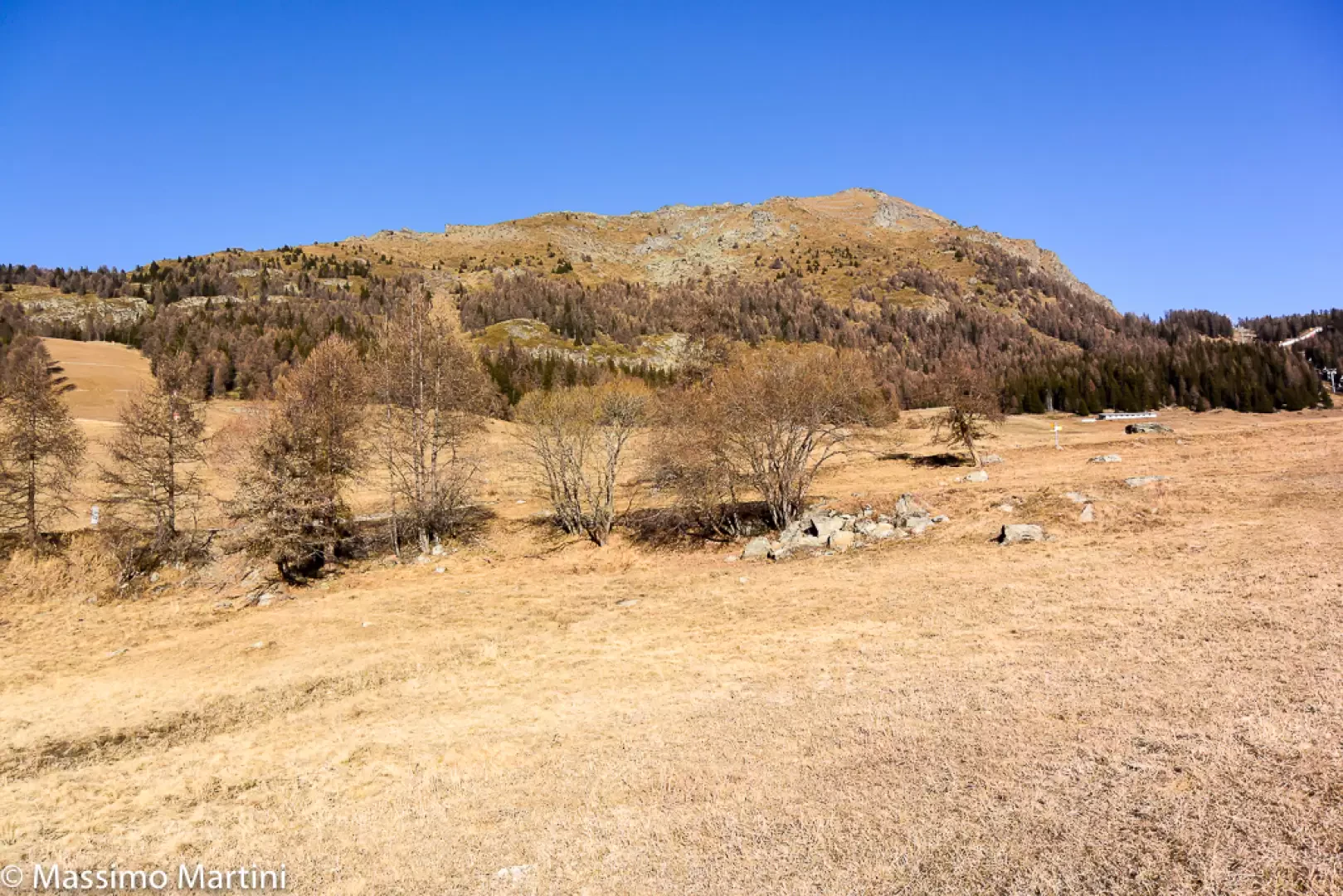
Mont Méabé secondary summit, from the Golette car park
The secondary summit of Mont Méabé offers a superb panoramic view over the central Valtournenche valley. The route is relatively...
T2
6.40 Km
742 m
Edited by:
Massimo Martini
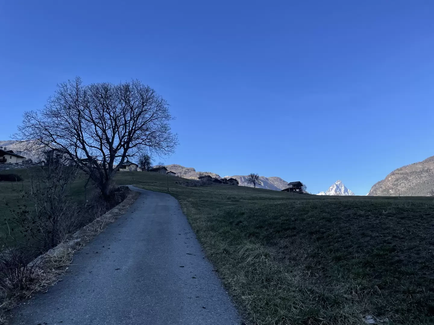
Berzin, from Chessin
The route from Chessin to Berzin winds its way through woods and pastures which, in autumn, are ablaze with warm,...
T2
3.16 Km
341 m

Edited by:
Gian Mario Navillod
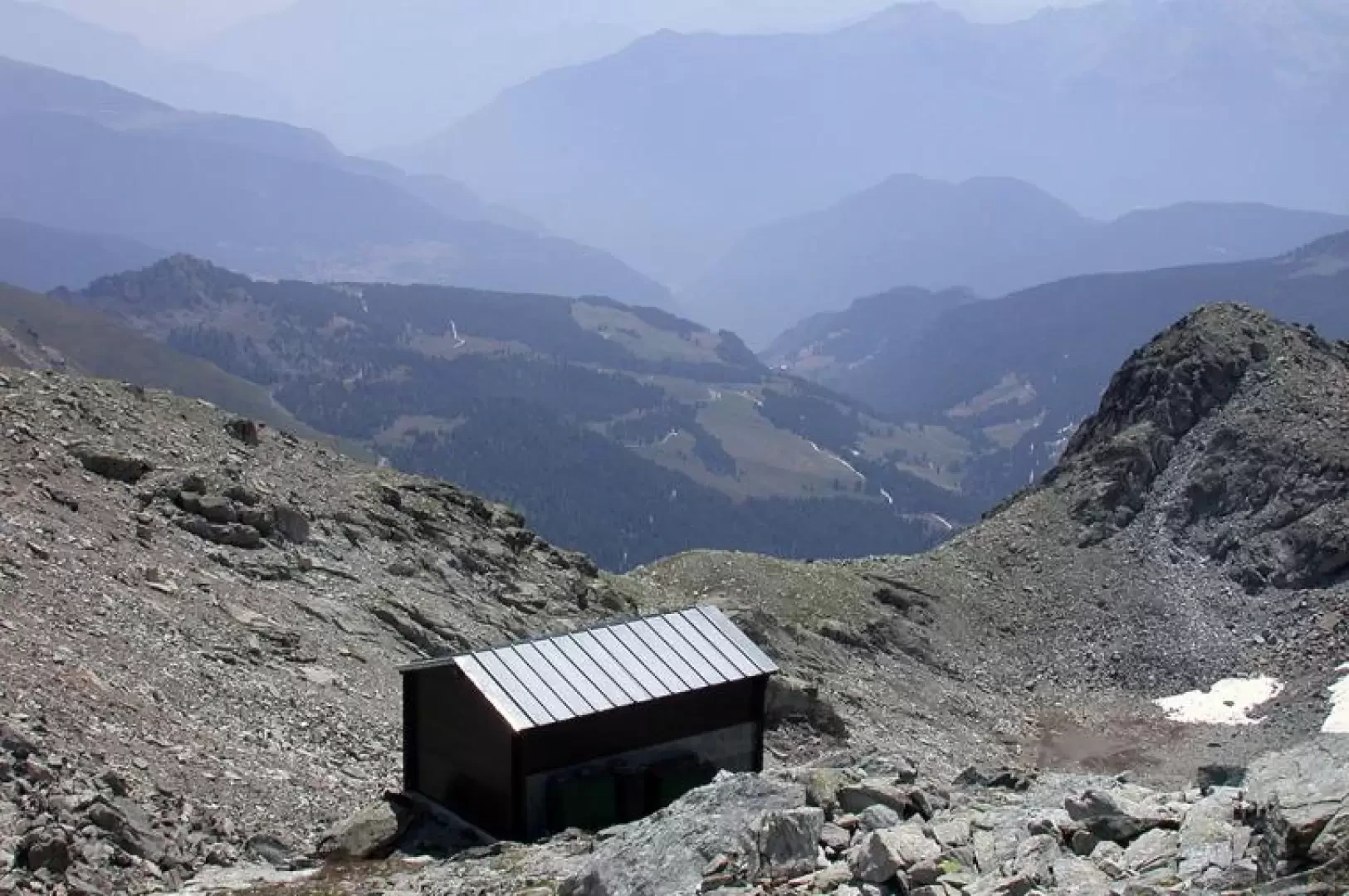
Rivolta Bivouac, from Etirol
A splendid hike in a wild corner of the Valtournenche. The ascent to the Rivolta Bivouac and the nearby Col...
T2
16.32 Km
1320 m
Edited by:
Massimo Martini
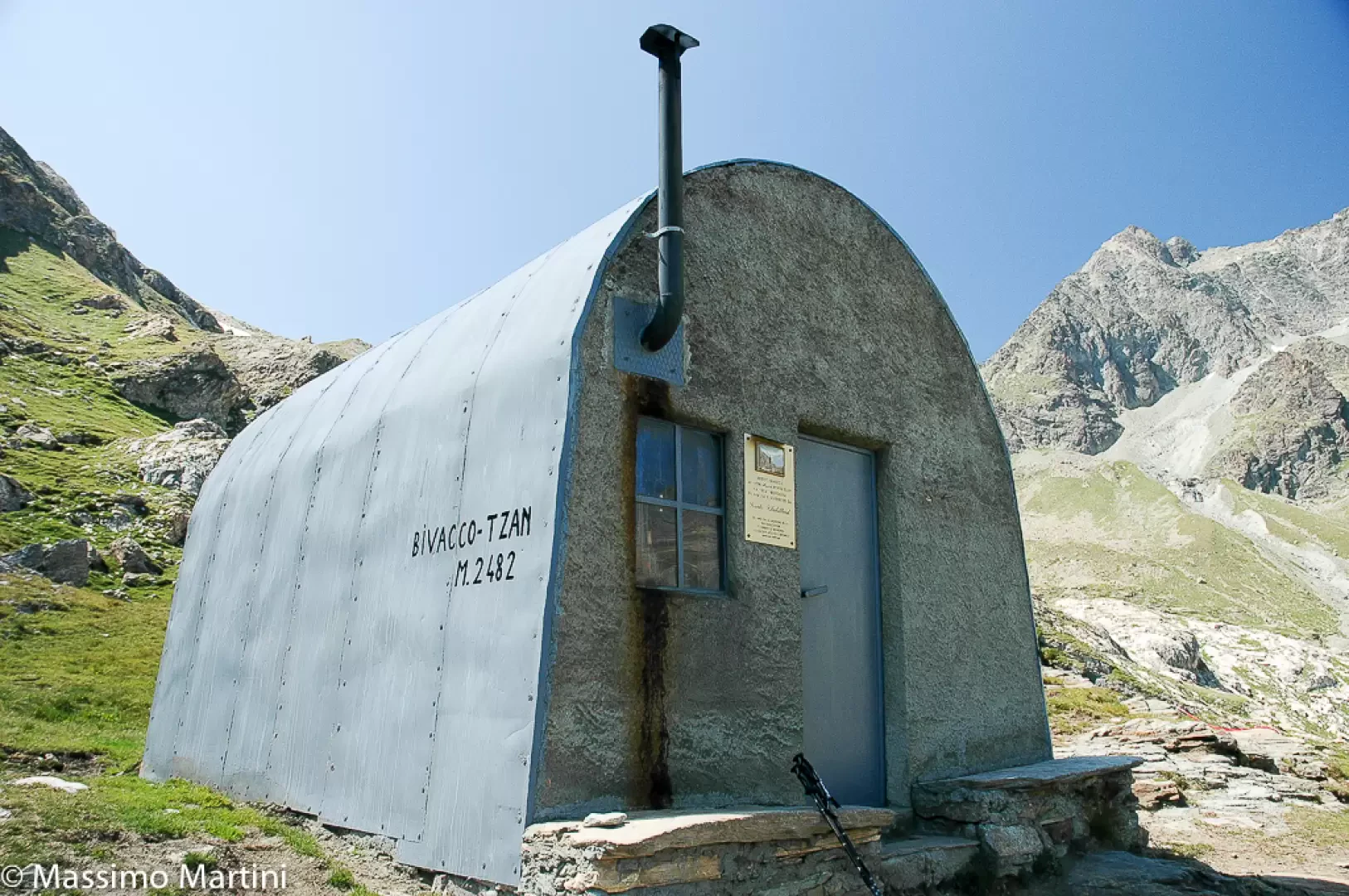
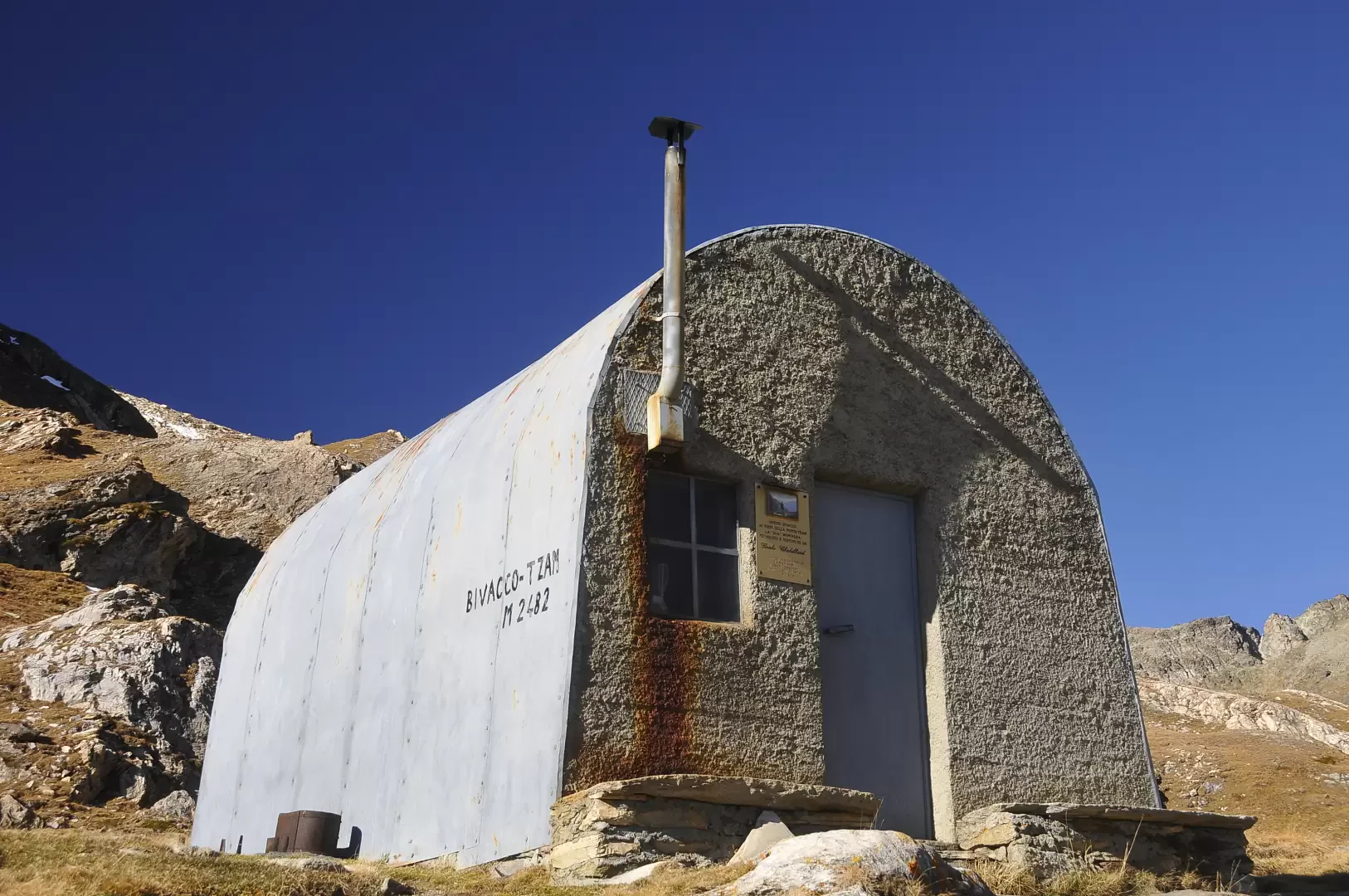
Tsan Bivouac, from Champtorné
A walk that can also be done by bicycle (on the farm road section) and that without much effort will...
T2
0.00 Km
586 m
Edited by:
Massimo Martini
Tsan bivouac, from Etirol
The Tsan Bivouac (2,469 m) is located on the edge of the Comba de Chavacour, just above the glacial lake...
T2
14.90 Km
985 m
Edited by:
Massimo Martini
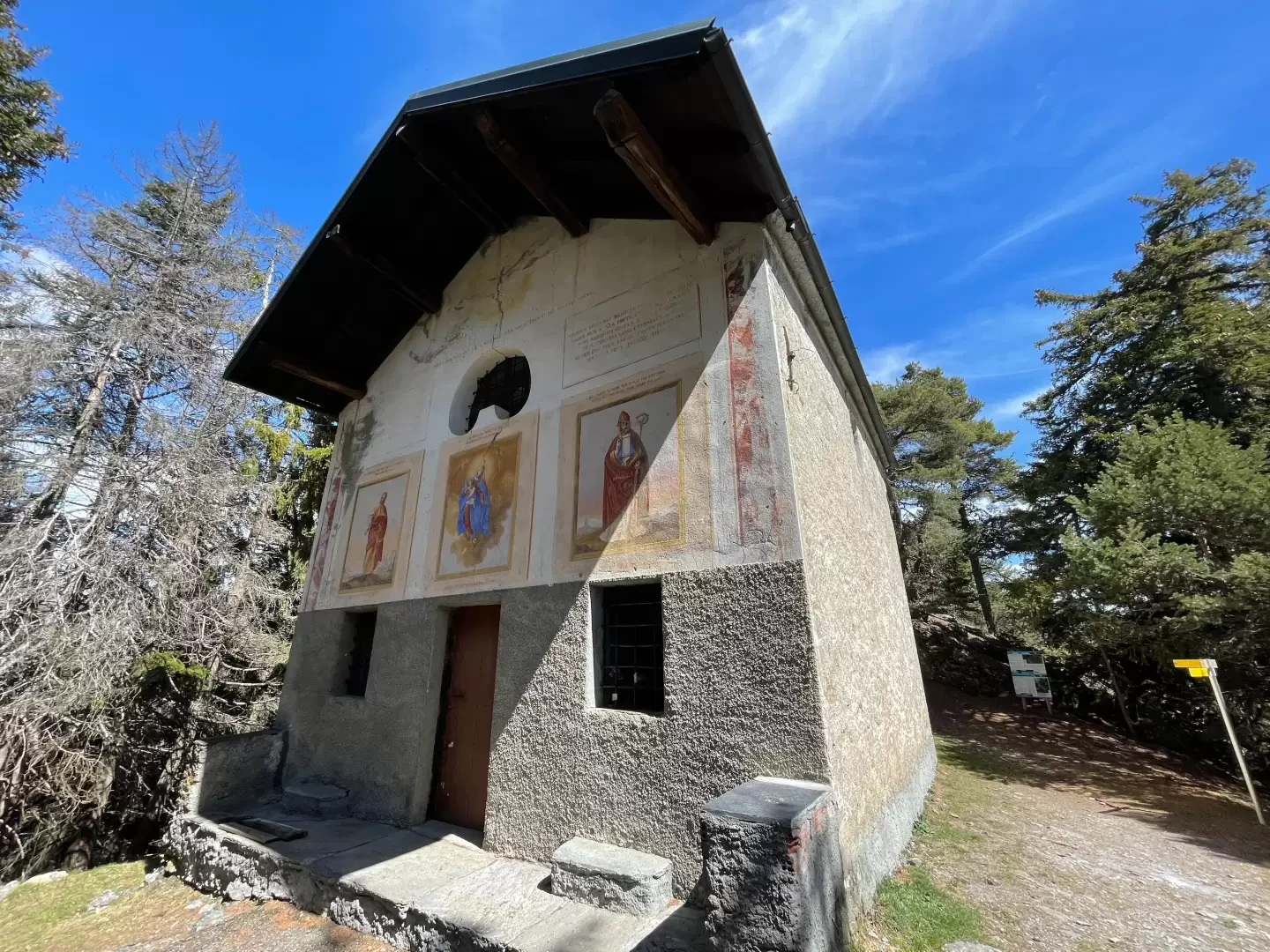
Chapel of Saint-Pantaléon, from Mognod
The hike to the chapel of Saint-Pantaléon winds its way between the houses of Mognod and the open pastures dominating...
T2
5.68 Km
191 m


Edited by:
Massimo Martini
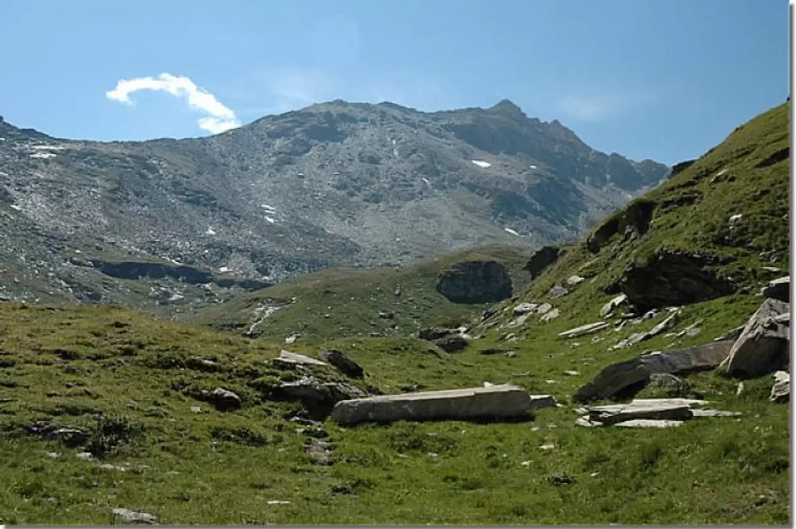
Cima Bianca, from Grand Moulin
Itinerario ad andata e ritorno che sale dal fondovalle di Antey-Saint-Andre' (1.079m) alla Cima Bianca (2.960m), vetta piu' elevata della...
T2
24.56 Km
0 m
Edited by:
Massimo Martini
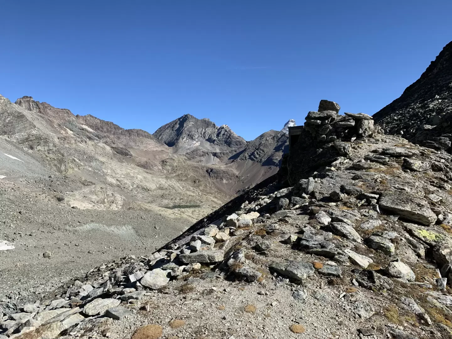
Col de Fort, from Etirol
Il Col de Fort (2.909m) è un valico poco frequentato che mette in comunicazione la Valtournenche con il vallone di...
T2
17.00 Km
0 m
Edited by:
Massimo Martini
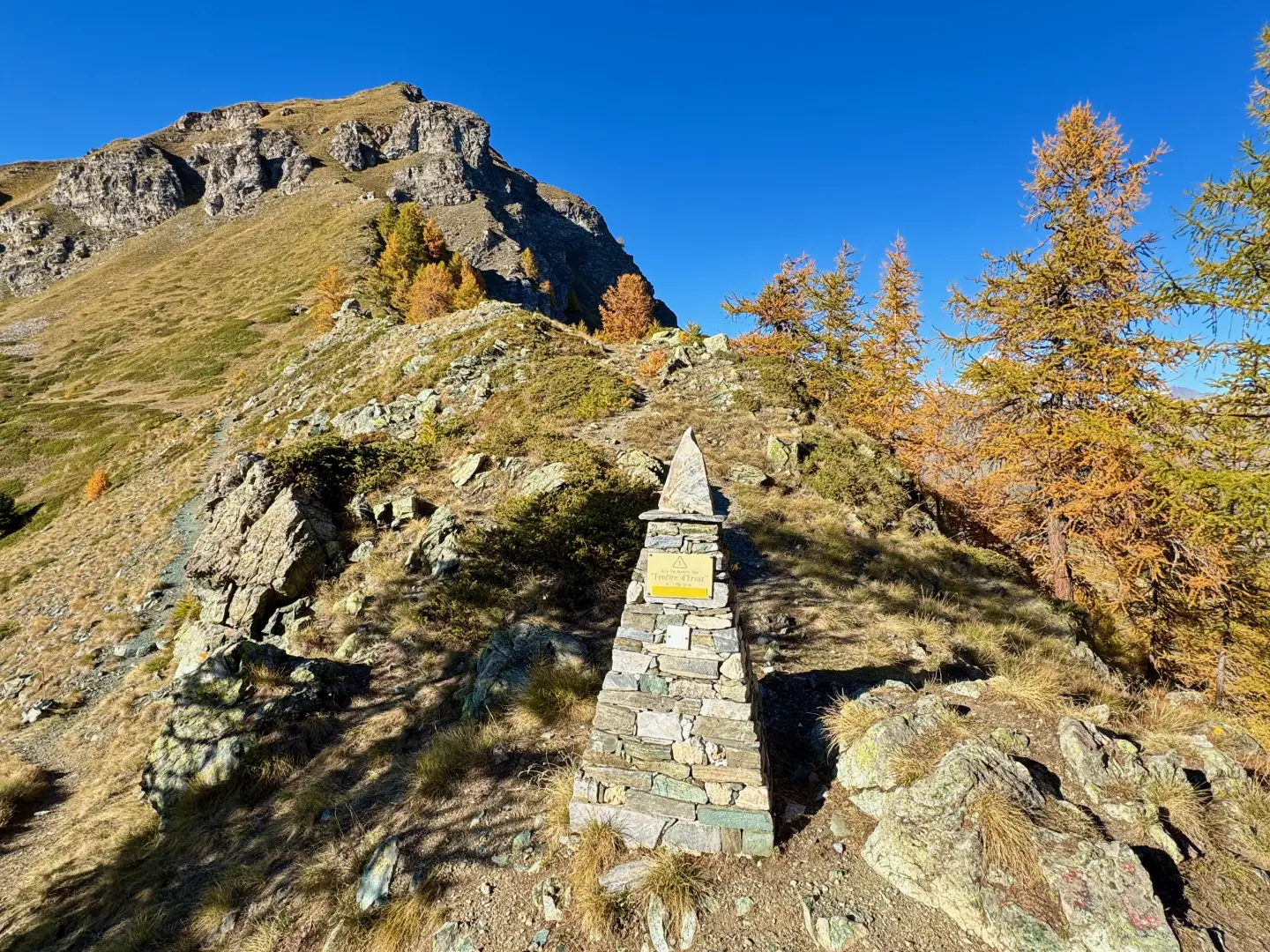
Fenêtre d'Ersaz, from Etirol
La Fenêtre d'Ersaz (2,290m) is one of the most interesting excursion destinations in Valtournenche, located in the municipality of Torgnon,...
T2
9.74 Km
692 m
Edited by:
Gian Mario Navillod
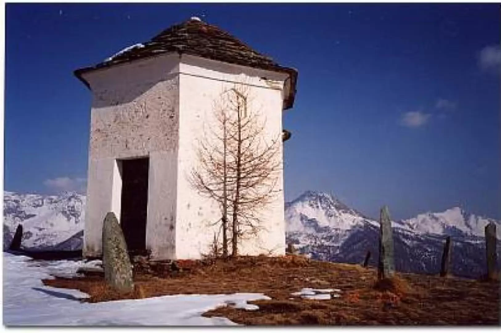
Gilliarey, from Buisson
A hike to discover the abandoned village of Levaz with arrival at the exceptional Gilliarey viewpoint.
T2
5.59 Km
1064 m
Edited by:
Massimo Martini
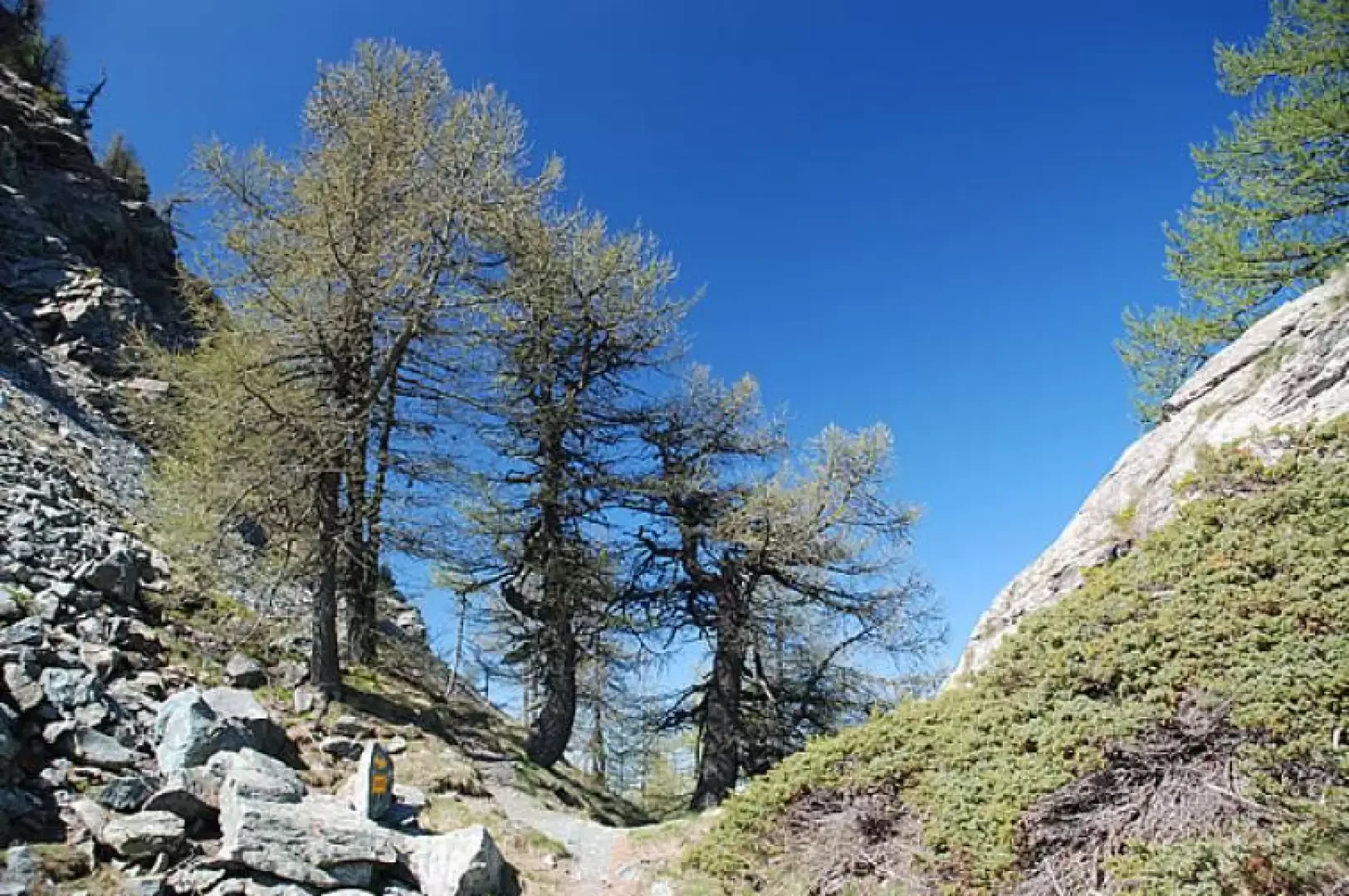
La Fenêtre, from Golette
La Fenêtre is one of the three hiking passes linking Torgnon with the Saint-Barthélemy valleys. This short hike provides a...
T2
0.00 Km
295 m