Nearby
📍 Location Details
Latitude:
Longitude:
Accuracy:
Updated:
0 km
100 km
Path
km
-
km
m
m
Hike Type
Round trip
Circular
Crossing
Partially circular
Recommended Period
All
Hiking
Snowshoeing
Ski-mountaineering
Mountaineering
Via ferrata
Climbing
Mountain bike
Trekking
Active filters:
Tags: hiking,val-ferret
Showing 16 results
with active filters
Loading...
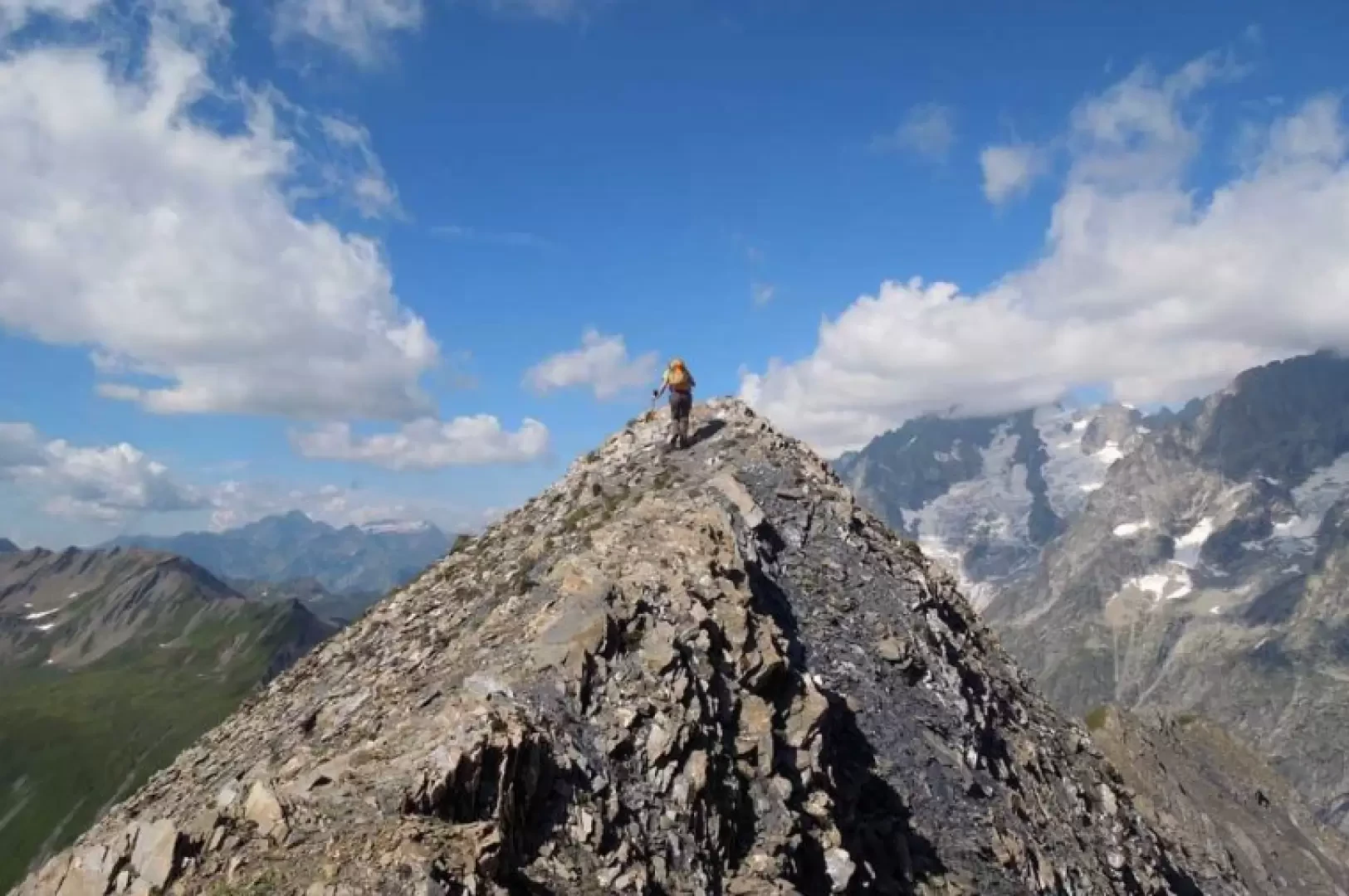

Edited by:
Giancarlo Beretta
Aiguille des Angroniettes to Col Ban Darrey, a circular walk from Arp Nouvaz
This beautiful and challenging circular walk takes you away from the crowds on the classic trails, through the upper Val...
T3
12.03 Km
1155 m
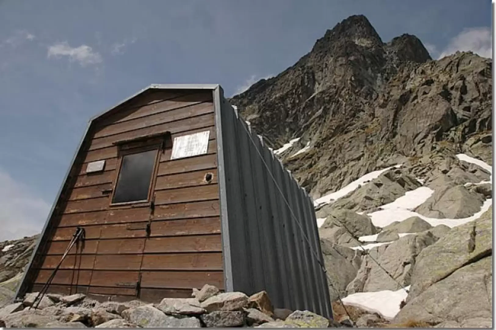

Edited by:
Massimo Martini
Comino Bivouac, from Arp Nouva
This trip allows you to discover an often wrongly neglected side of the Mont Blanc Massif and takes place on...
T4
8.00 Km
661 m
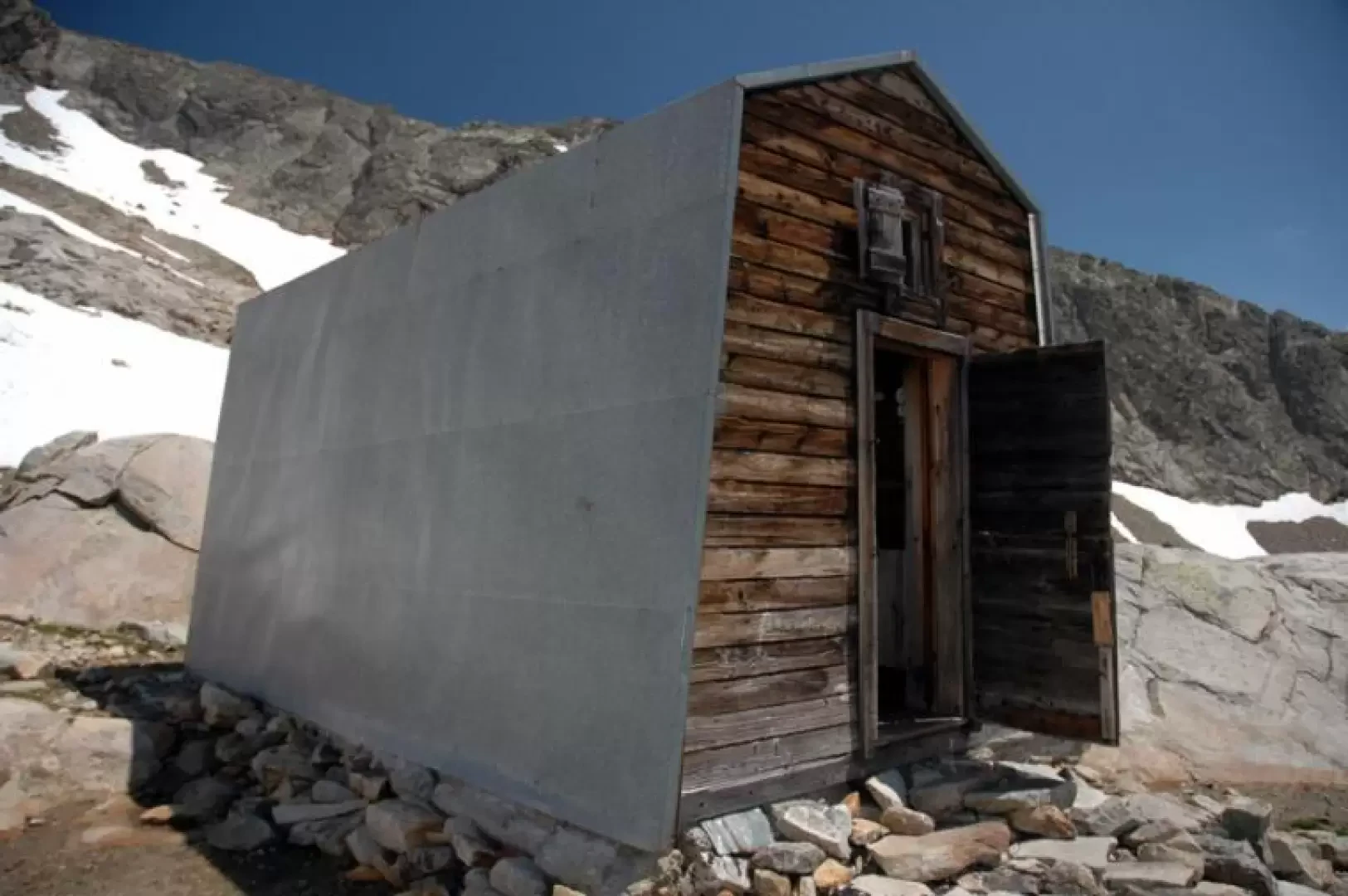
Edited by:
Massimo Martini
Fiorio Bivouacs, from Arp Nouva
Located at the foot of Mont Dolent and on the edge of the Pré de Bard glacier, the two bivouacs...
T3
9.00 Km
942 m
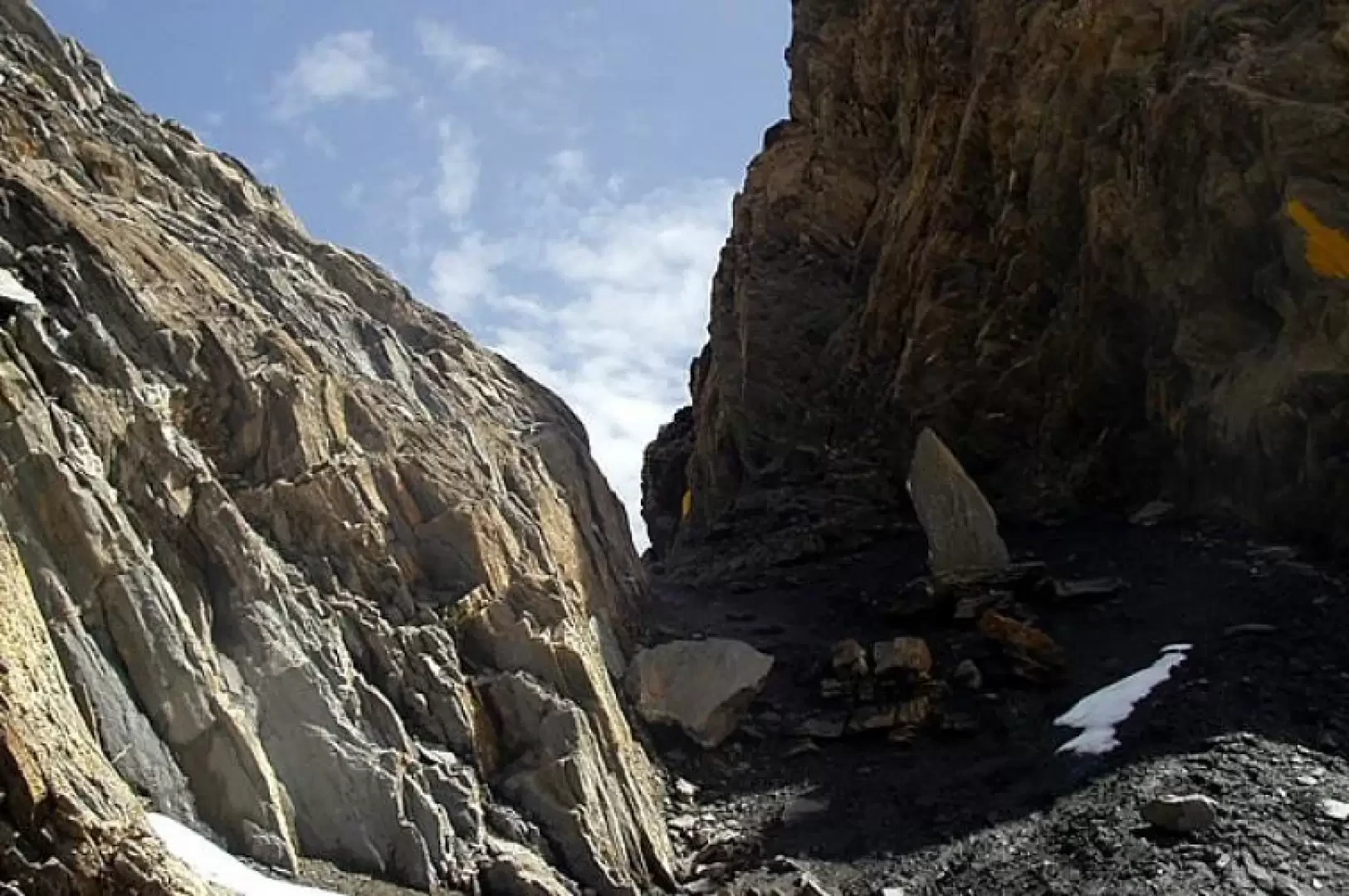

Edited by:
Ivano Ruffoni
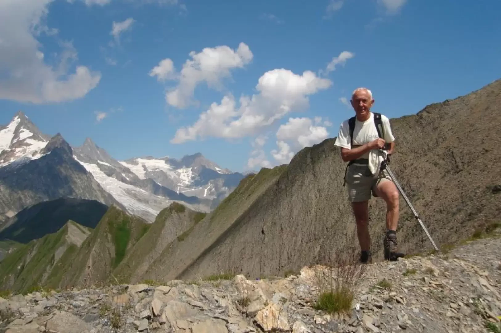
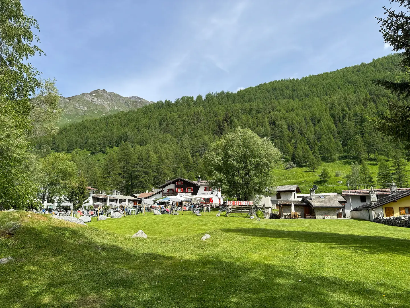
Col de Malatra, from the car park after Lavachey
The Col de Malatrà is a narrow opening connecting the Comba des Merdeux (from the patois "merze", "place of larches")...
T2
0.00 Km
1230 m


Edited by:
Massimo Martini
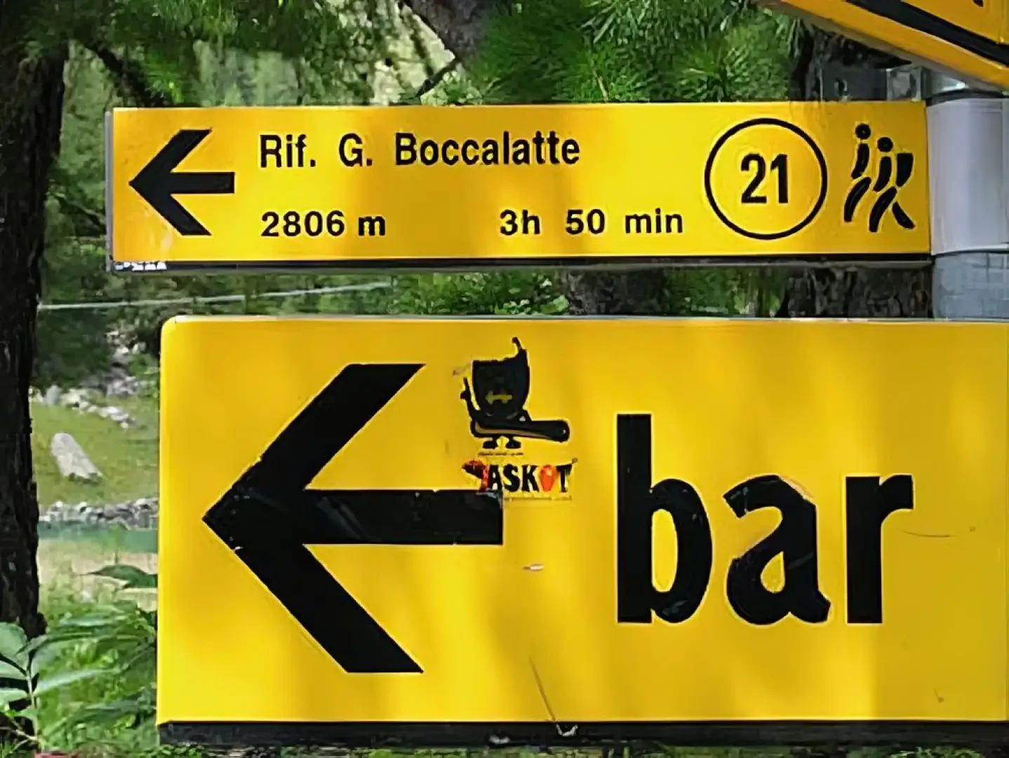
Lavachey, from Planpincieux
Itinerario di fondovalle che risale la Val Ferret da Planpincieux fino al piccolo villaggio di Lavachey, con rientro sullo stesso...
T1
7.59 Km
0 m


Edited by:
Maurizio Bergamini
Boccalatte-Piolti Refuge, from Planpincieux
Not a very long, but intense hike, reaching the base for the attack on the Grandi Jorasses.
T3
8.00 Km
1224 m

Edited by:
Massimo Martini
Bonatti Refuge, from the car park after Lavachey
Short walk to one of the most popular destinations in Val Ferret. The itinerary unfolds entirely on a path that...
T2
3.00 Km
320 m
Edited by:
Maurizio Loconti
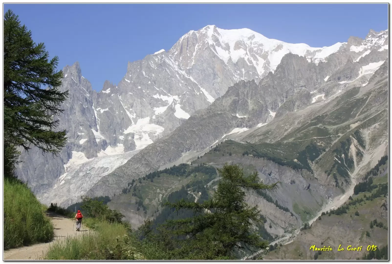
Bonatti Refuge, along the balcony from Planpincieux
Planpincieux - ref. Bonatti: panoramic balcony over the Mont Blanc chain in Val Ferret (AO).
T2
0.00 Km
500 m
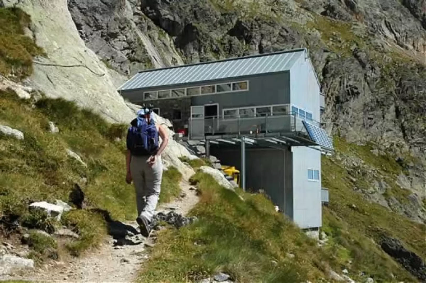
Edited by:
Maurizio Bergamini
Dalmazzi Refuge, from Arp Nouva
Short but demanding hike. The route is quite steep most of the time: it also forces you to do some...
T3
8.00 Km
815 m