Nearby
📍 Location Details
Latitude:
Longitude:
Accuracy:
Updated:
0 km
100 km
Path
km
-
km
m
m
Hike Type
Round trip
Circular
Crossing
Partially circular
Recommended Period
All
Hiking
Snowshoeing
Ski-mountaineering
Mountaineering
Via ferrata
Climbing
Mountain bike
Trekking
Active filters:
Tags: hiking,valgrisenche
Showing 14 results
with active filters
Loading...

Edited by:
Giancarlo Beretta
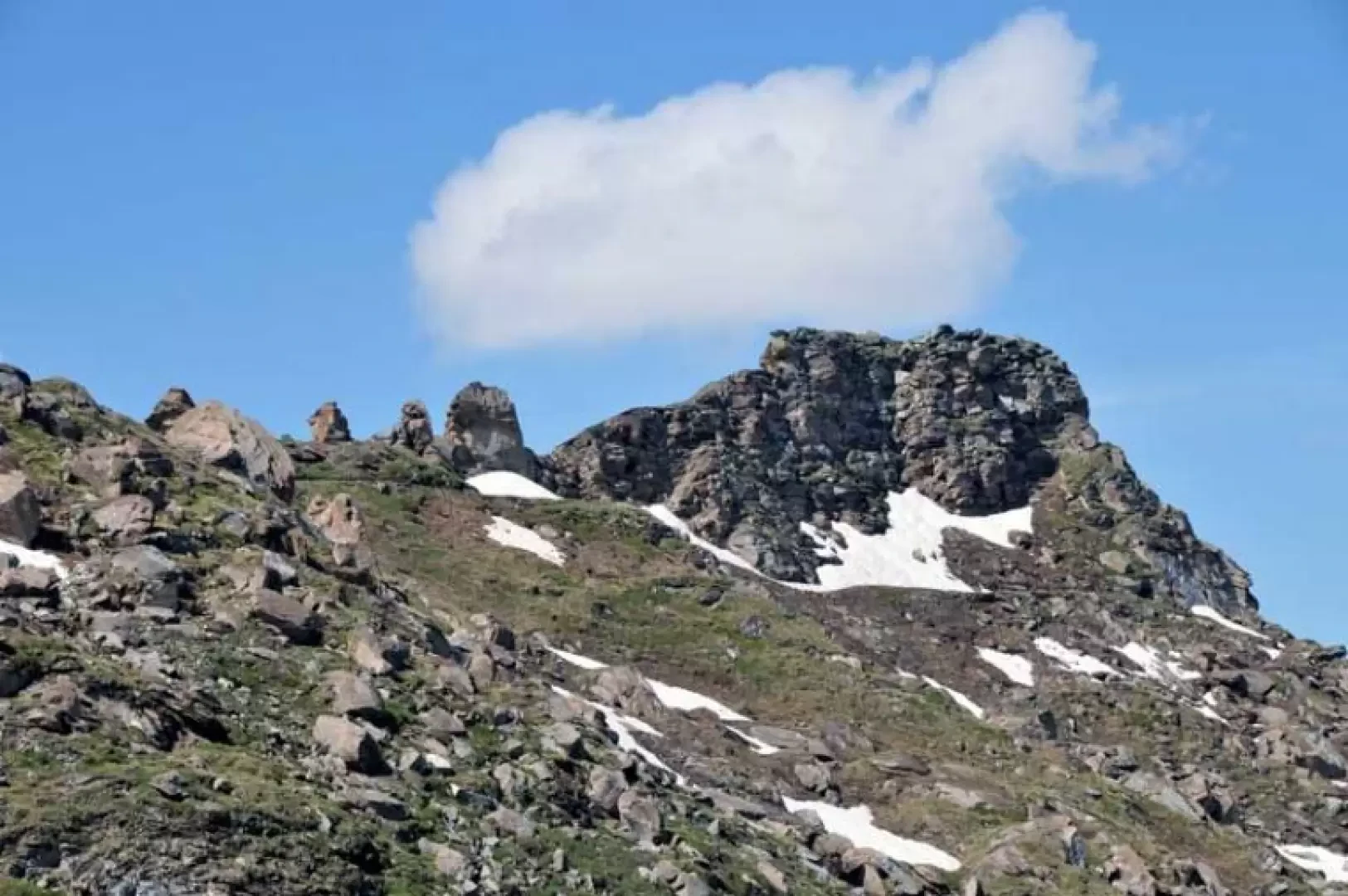
Becca dei Quattro Denti, from Valgrisenche
The Becca dei Quattro Denti is the last elevation of a ridge that branches off to the north-west from Punta...
T2
11.00 Km
1062 m

Edited by:
Massimo Martini
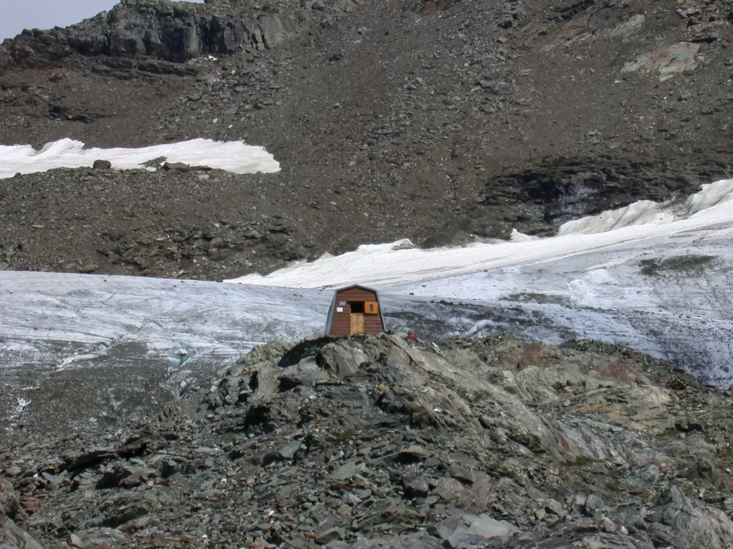
Ravelli bivouac, from Surier
Interesting excursion in a very wild corner of Valle d'Aosta. In fact, the route crosses the Invergnan valley, an area...
T3
12.44 Km
1058 m
Edited by:
Massimo Martini
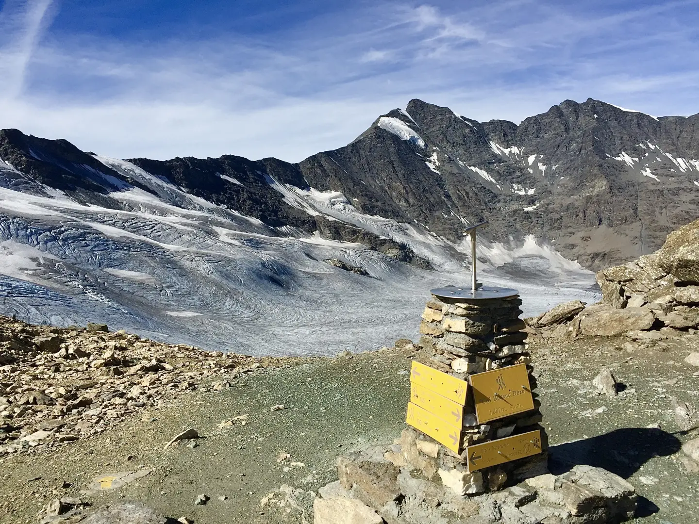
Col Bassac Déré, from the Surrier car park
The Col Bassac Déré (3,082m) links Valgrisenche with Val di Rhêmes, forming a pass used for transits between the two...
T2
20.96 Km
1314 m
Edited by:
Massimo Martini
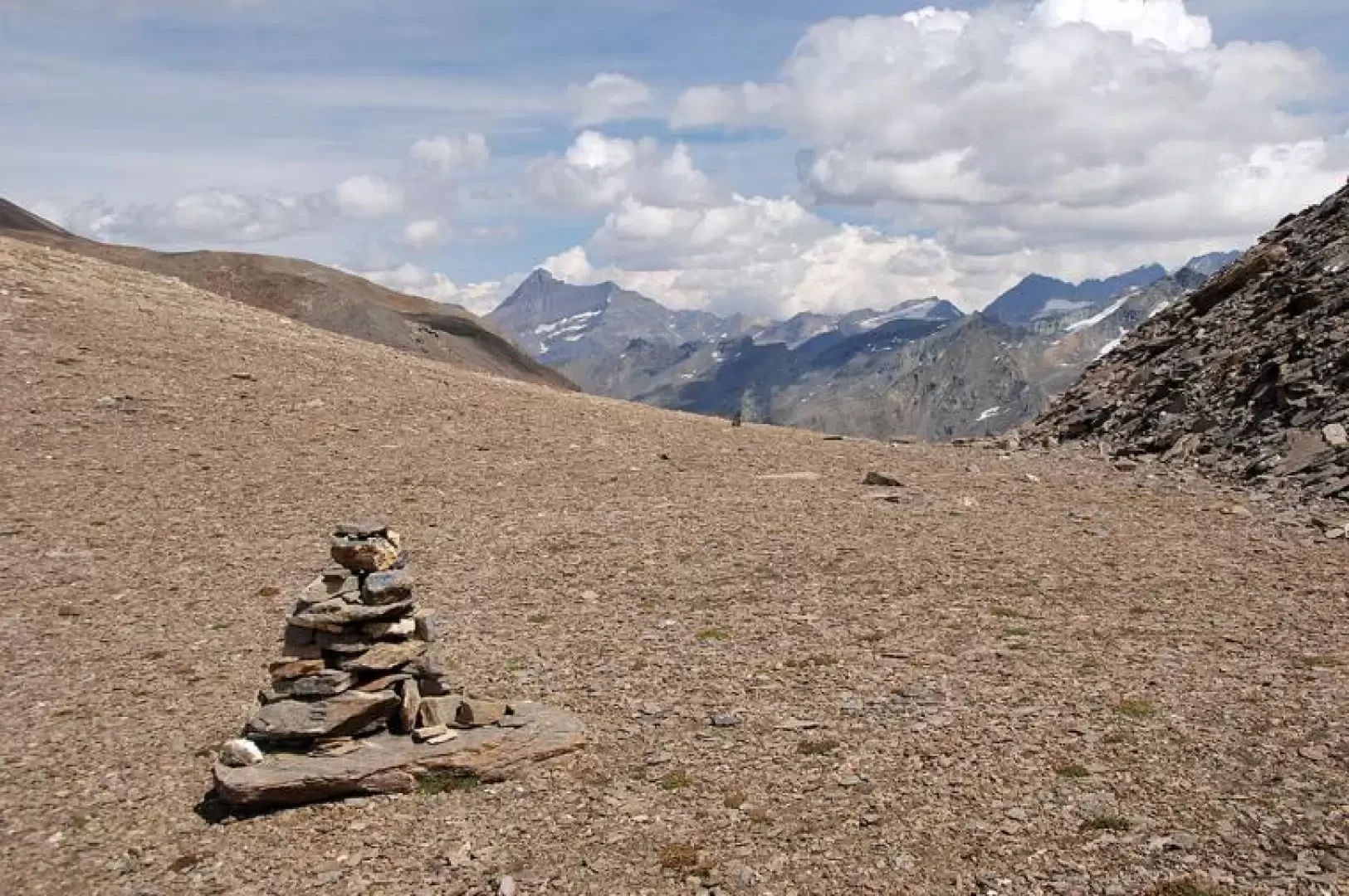
Col Bassac, from Surrier
The Col Bassac is one of the hiking passes between Valgrisenche and Val di Rhemes. Despite its 3154m, the hike...
T3
20.38 Km
1358 m

Edited by:
Giancarlo Beretta
Col du Lac Noir
Lunga escursione che, una volta superato il rifugio Bezzi, si sviluppa in ambienti solitari e poco frequentati attraversando i ripidi...
T2
19.00 Km
1095 m


Edited by:
Alain Martini
Col du Mont
Passeggiata lungo il sentiero bellico che attraversa l'ampio vallone di Saint Grat e salita al lago incassato tra le rocce...
T2
11.20 Km
654 m

Edited by:
Giancarlo Beretta
Forclaz du Bré
This hike runs through the Arp Vieille valley for its entire length and reaches a narrow pass where the ruins...
T2
11.00 Km
985 m

Edited by:
Alain Martini
Lac de Saint-Grat, from Rognettaz dessous
A walk along the wartime path through the wide Saint-Grat valley and ascent to the lake nestled between the rock...
T2
9.44 Km
525 m

Edited by:
Giancarlo Beretta
Lac Vuert, from the Surrier car park
The ascent to this solitary lake of glacial origin, which despite its proximity to the Bezzi hut is not a...
T2
14.00 Km
836 m

Edited by:
Giancarlo Beretta
Lago di San Martino
Giro ad anello di ampio respiro che consente di percorrere, nella seconda parte, una splendida balconata panoramica sulle vette ed...
T2
0.00 Km
986 m

Edited by:
Maria Grazia Schiapparelli
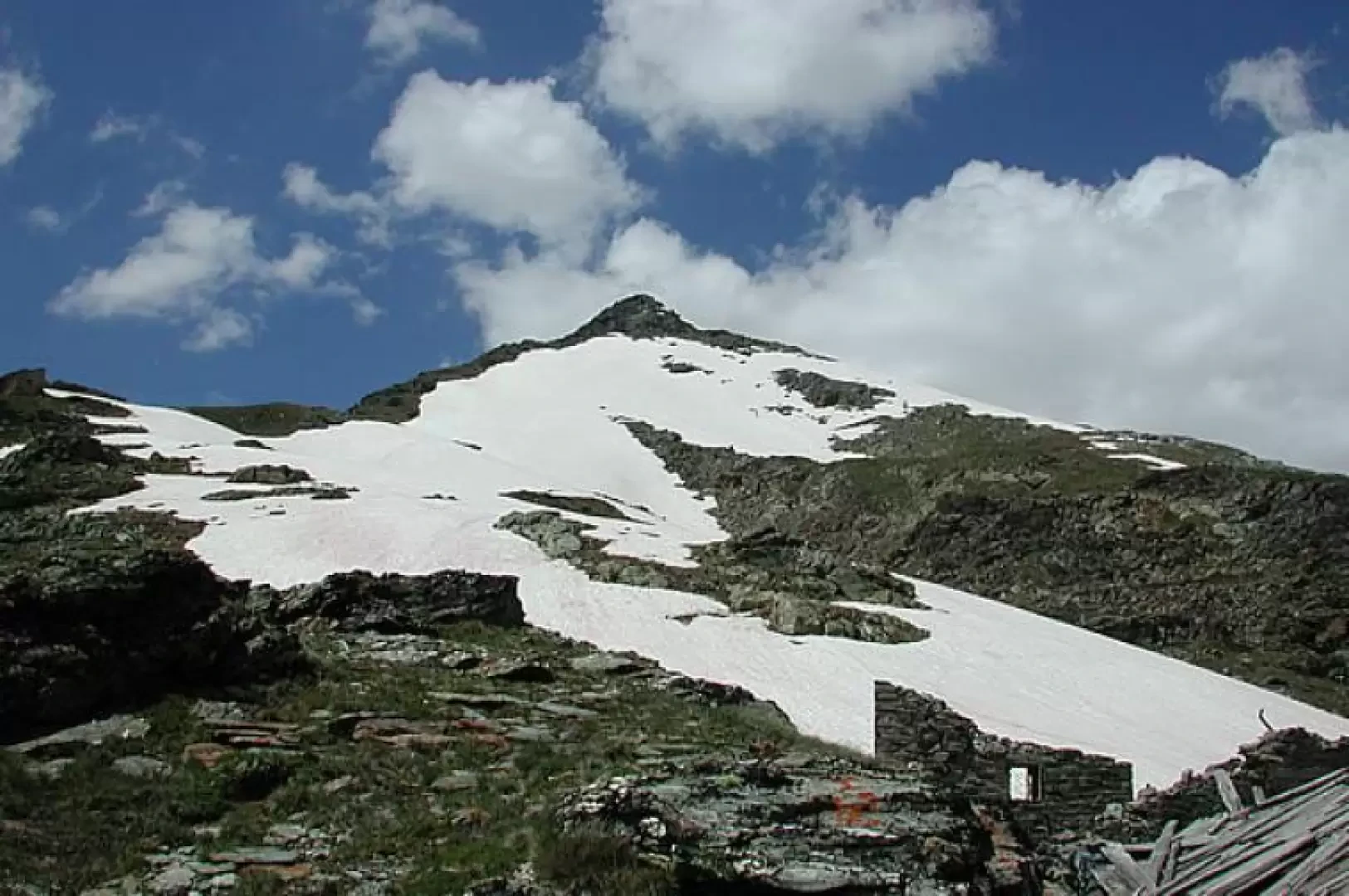
Shelter Captain Ricci, from Rognettaz dessous
When the valley leading to the Col du Mont and the lake of San Grato is still very snow-covered, as...
T2
0.00 Km
811 m


Edited by:
Vittorio Martini
Rifugio Bezzi, da Surrier
Una comoda passeggiata nella parte terminale della Valgrisenche. Il non eccessivo dislivello vi permetterà di prendervi maggior cura dell'ottimo paesaggio...
T2
11.00 Km
500 m