Nearby
📍 Location Details
Latitude:
Longitude:
Accuracy:
Updated:
0 km
100 km
Path
km
-
km
m
m
Hike Type
Round trip
Circular
Crossing
Partially circular
Recommended Period
All
Hiking
Snowshoeing
Ski-mountaineering
Mountaineering
Via ferrata
Climbing
Mountain bike
Trekking
Active filters:
Tags: walks,aosta-valley
Showing 18 results
with active filters
Loading...

Edited by:
Gian Mario Navillod
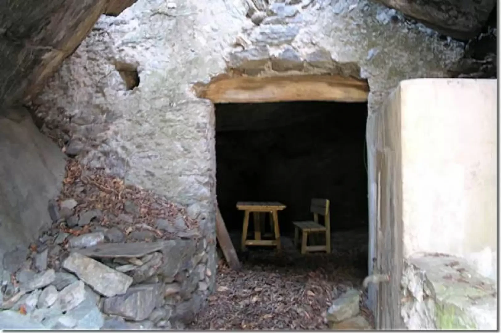
Barma di Ban
La Barma di Ban è un grande locale sotterraneo ricavato scavando sotto ad un masso che gli fa da tetto....
T1
0.00 Km
10 m

Edited by:
Massimo Martini
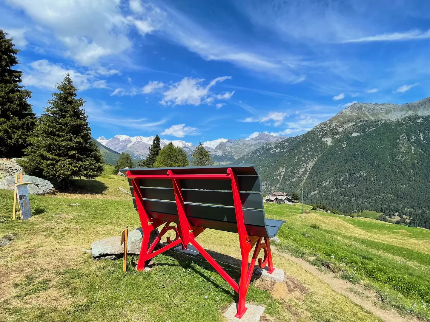
Big Bench #0309 – Barmasc, from the Barmasc car park
The Big Bench in Barmasc is one of the giant benches featured in the Big Bench Community Project. The Big...
T1
0.50 Km
30 m
Edited by:
Massimo Martini
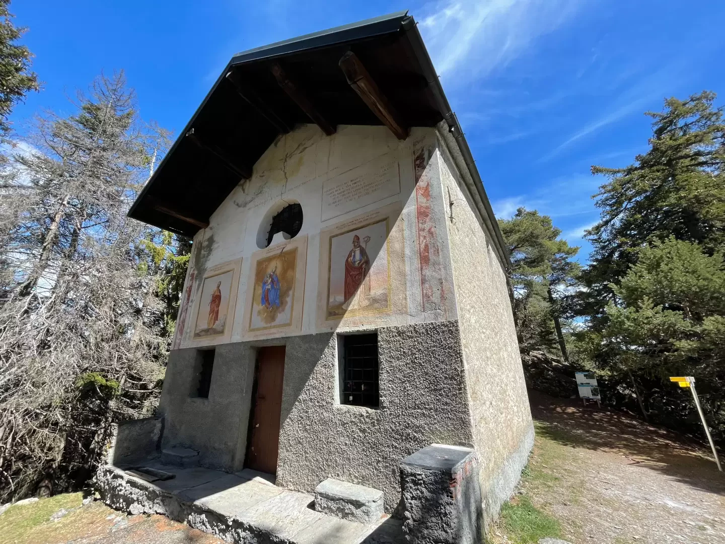
Chapel of Saint-Pantaléon, from Mognod
The hike to the chapel of Saint-Pantaléon winds its way between the houses of Mognod and the open pastures dominating...
T2
5.68 Km
191 m
Edited by:
Massimo Martini
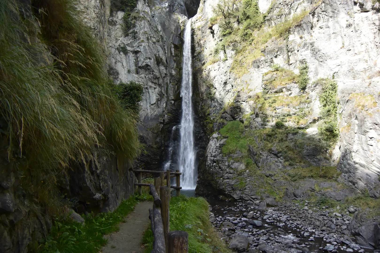
Isollaz waterfall, from the Isollaz waterfall car park
In the heart of Valle d'Aosta, nestled between the mountains and the history of Val d'Evançon, lies a naturalistic jewel...
T2
1.70 Km
116 m
Edited by:
Massimo Martini
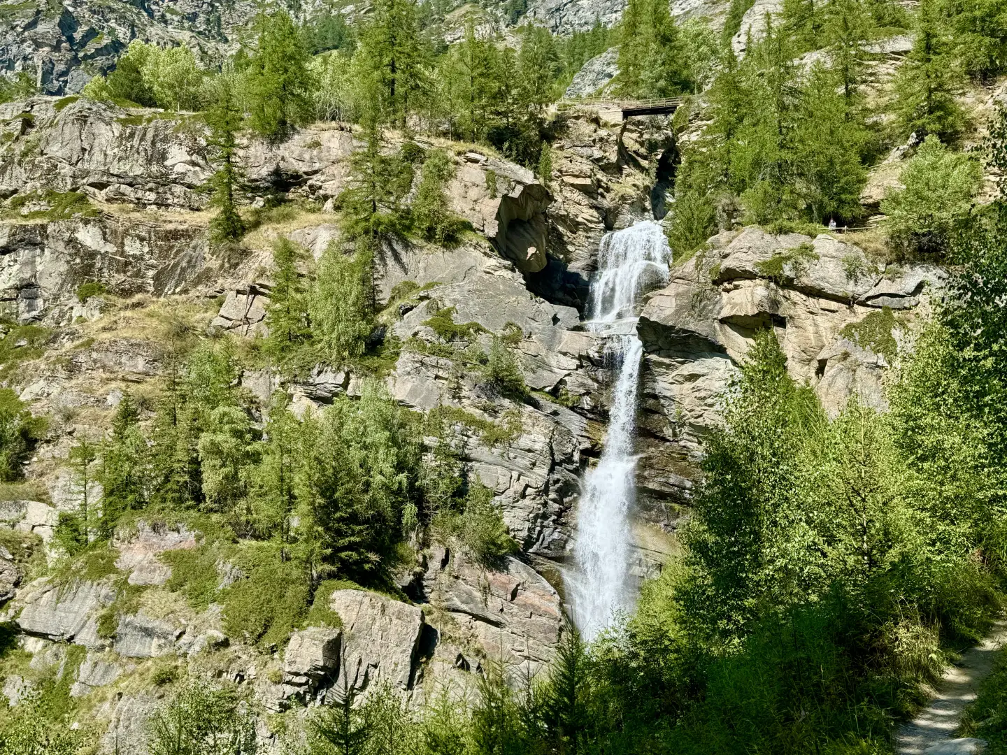
Lillaz Waterfalls, circular walk from the Lillaz car park
The circular walk to the Lillaz waterfalls, in the municipality of Cogne, offers a picturesque stroll that allows you to...
T2
2.00 Km
107 m
Edited by:
Massimo Martini
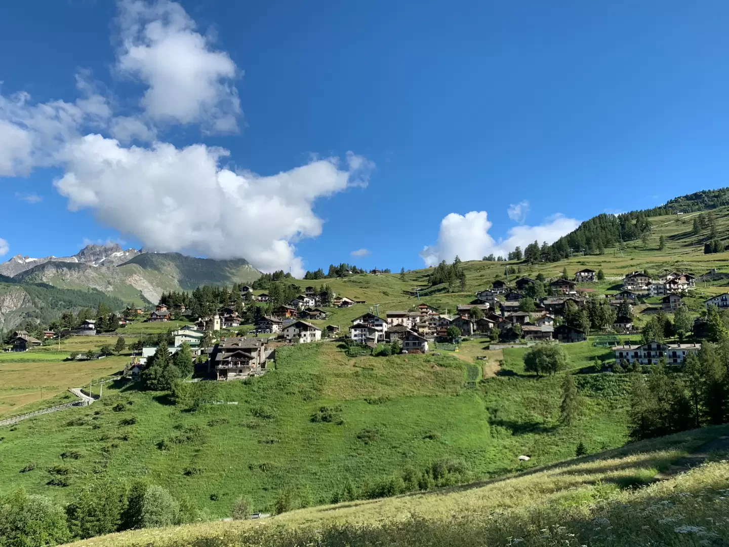
Corgnolaz, from the Vieu car park
Chamois holds several records. It is one of the highest municipalities in Italy and is the only one that can...
T1
10.30 Km
250 m
Edited by:
Massimo Martini
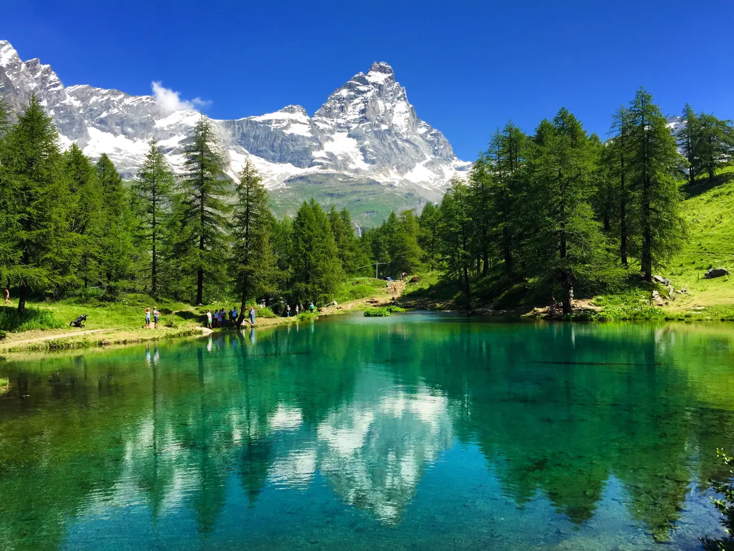
Lago Blu, from the Hotel Chalet Valdotain car park
A short circular walk that follows Regional Road 46 in the Valtournenche, just above the village of Breuil-Cervinia, ending at...
T2
0.36 Km
11 m
Edited by:
Massimo Martini
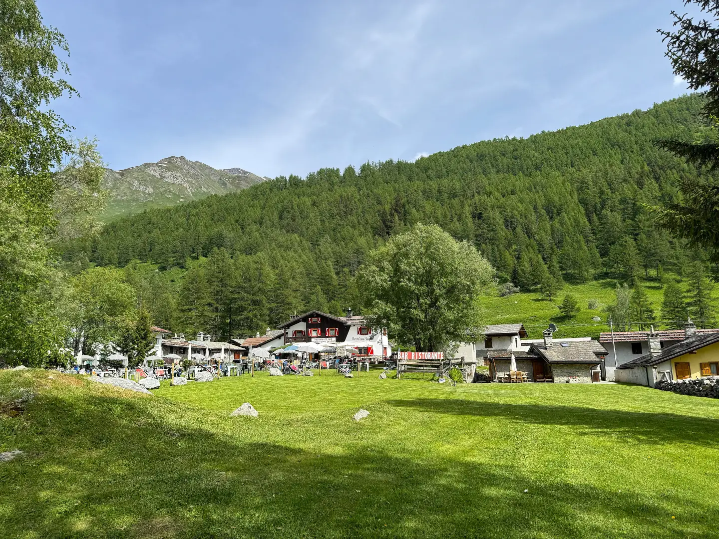
Lavachey, from Planpincieux
Itinerario di fondovalle che risale la Val Ferret da Planpincieux fino al piccolo villaggio di Lavachey, con rientro sullo stesso...
T1
7.59 Km
0 m
Edited by:
Massimo Martini
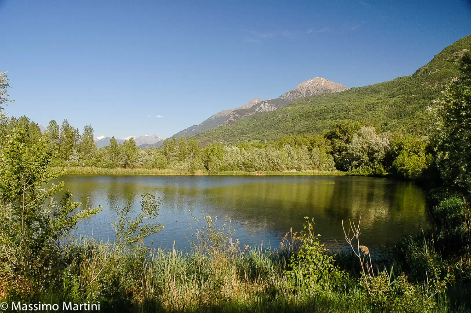
Les Îles, from the PalaFENT car park
A circular route, entirely flat, which follows the perimeter of the Les Îles Nature Reserve along the right bank of...
T1
2.00 Km
15 m
Edited by:
Massimo Martini
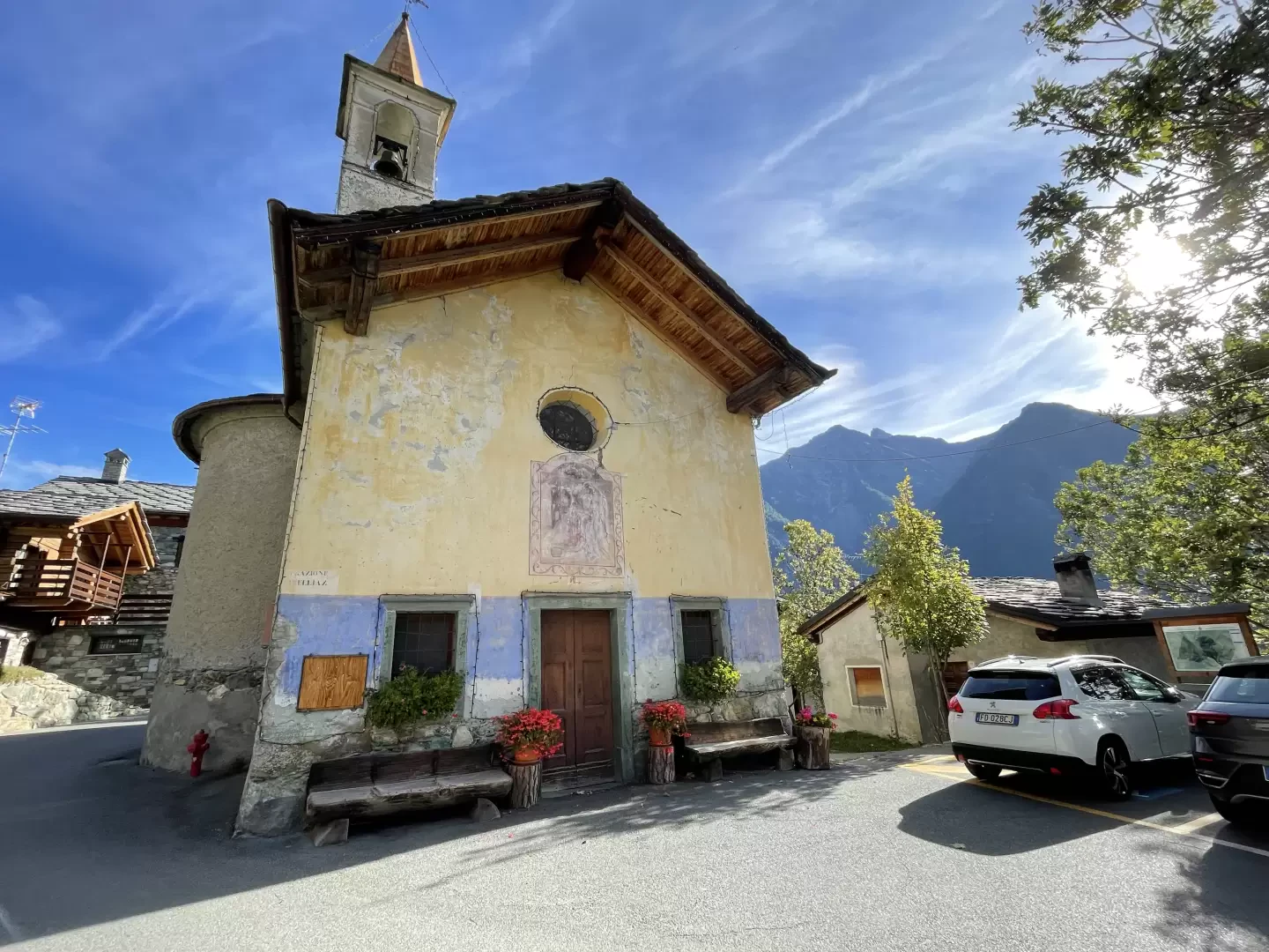
Orbeillaz, from Col d'Arlaz
Orbeillaz is a pretty village located on the slopes of Mont de Ros in the municipality of Challand-Saint-Anselme. It is...
T2
5.30 Km
83 m
Edited by:
Massimo Martini
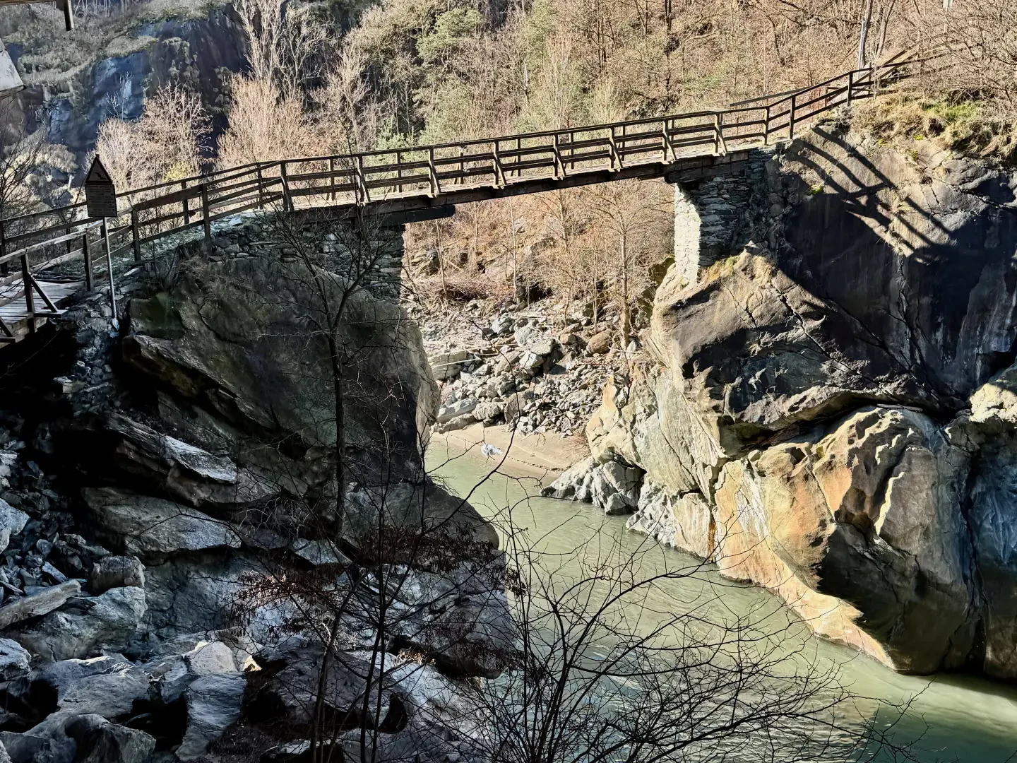
Ponte delle Capre, from Tenso
Although cramped, the place is certainly picturesque: the bridge clings to a narrow gorge of the Dora Baltea created by...
T2
2.34 Km
32 m
Edited by:
Massimo Martini
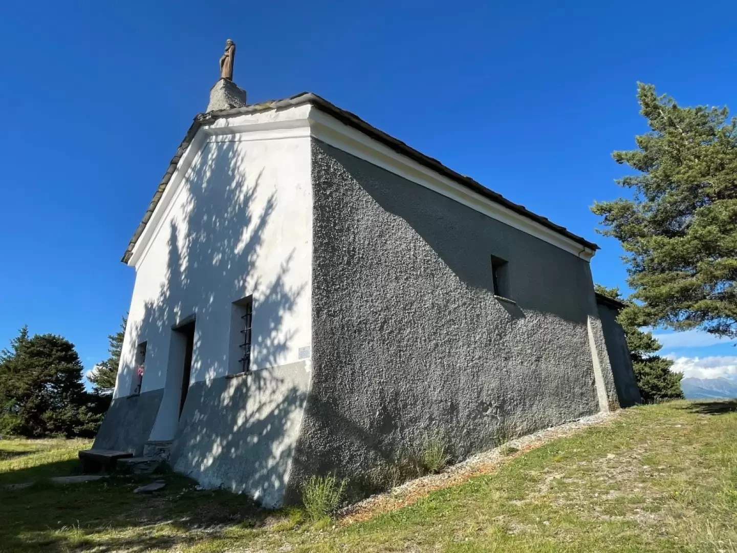
Puy de Saint-Evence, from the Col Saint-Pantaléon
This short route follows the ridge that separates the Valtournenche valley from the plateaus of Saint-Denis and Verrayes, winding through...
T2
5.00 Km
160 m