Côte de Gargantua, from Moline


Edited by:
Massimo Martini
Updated at: 02/09/2025
Access
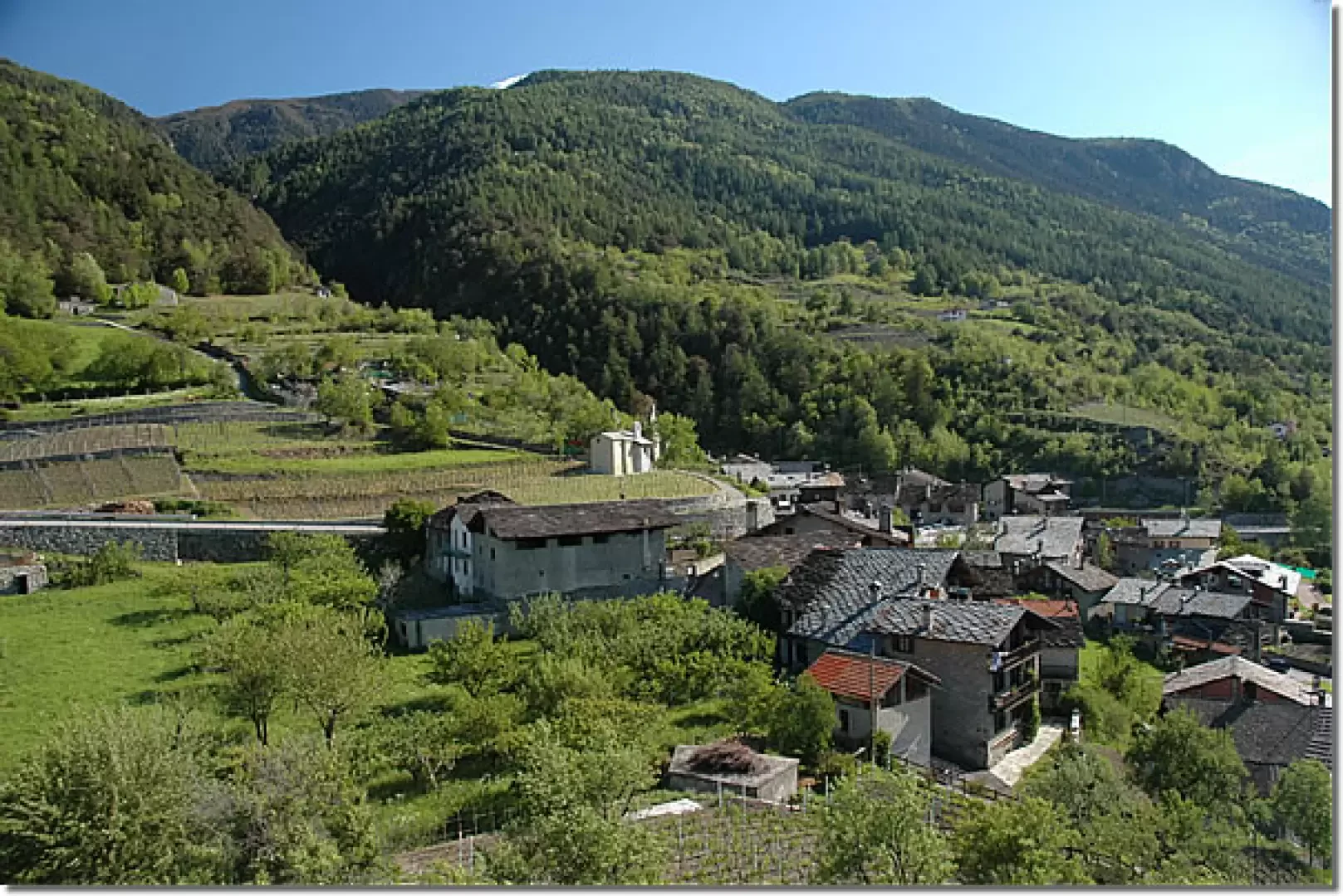
Leave the motorway junction at Aosta Est and turn right following the signs for Aosta centre. Continue for approximately 4 kilometres and, once in Aosta, turn right to follow the signs for Pila. Continue for 6.9 kilometres until you reach the village of Pont-Suaz, then take the first exit and take the regional road , which soon leads to the village of Gressan. After 9.6 kilometres, you will come to a roundabout; take the second exit and continue on the regional road until you reach the village of Moline, where, on the right, there is a free fractional car park (🅿️).
Distance and travel time
🕒Travel time: 18 minutes
📏 Distance: 12.18 km
GPS navigation
📍 How to get there with Google Maps
📍How to get there with Apple Maps
ℹ️ Important note
The directions given were verified on the date of the route survey. Before departure, it is advisable to check for any changes to the route. For up-to-date and detailed directions, we recommend the use of Google Maps or Apple Maps.
Introduction
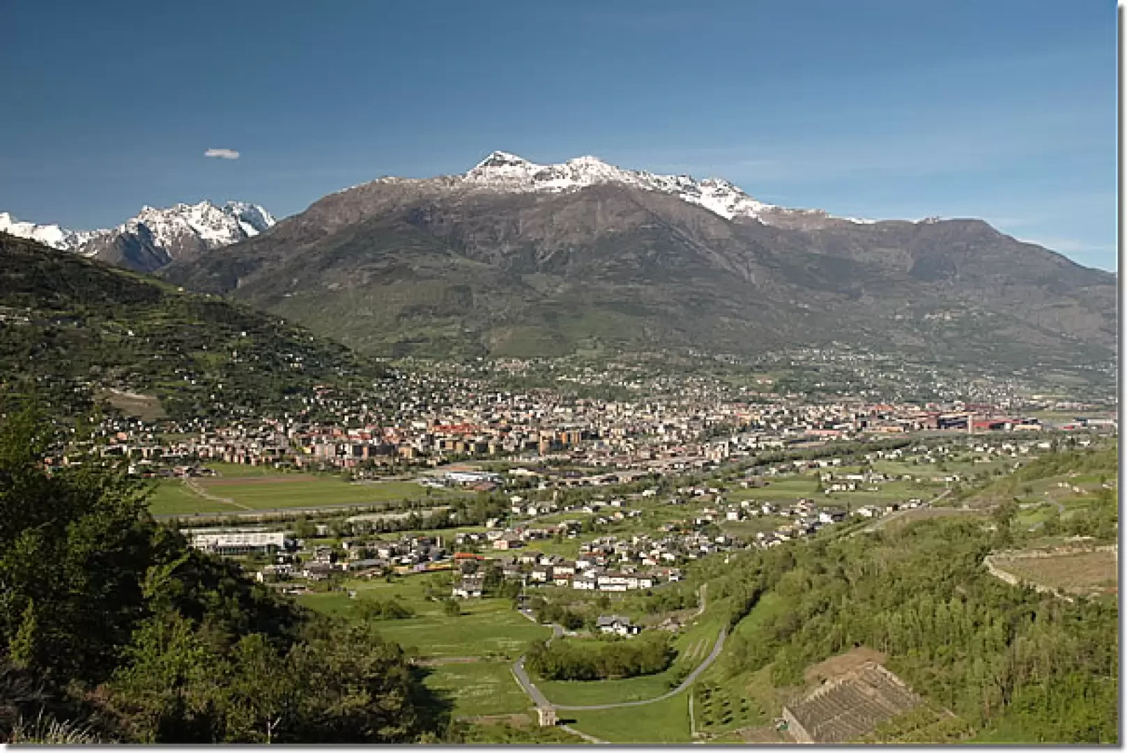
This short itinerary near Aosta offers an interesting combination of nature and history, leading to the discovery of the Côte de Gargantua Nature Reserve. The walk, which takes place on a moraine formation, offers spectacular views of the surrounding mountains, such as the Punta Chaligne, Becca di Nona and Becca di Viou, while following a path through various natural environments, from the barren to the more verdant. Local legend has it that this hill is the sepulchre of the little finger of Gargantua, a giant of popular mythology. The route, which winds its way between the panoramic ridge and a descent into the forest, offers a privileged view of Aosta, and is particularly suggestive at sunset, when the colours of the valley are tinged with warm light. A short but rewarding hike that invites you to immerse yourself in the history and landscapes of the valley.
Description
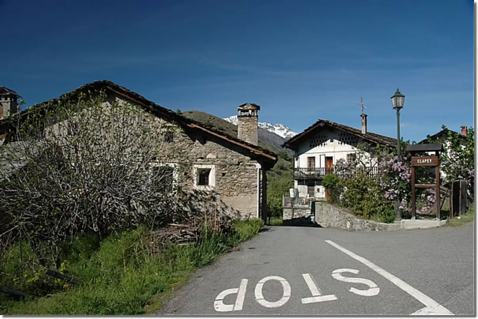
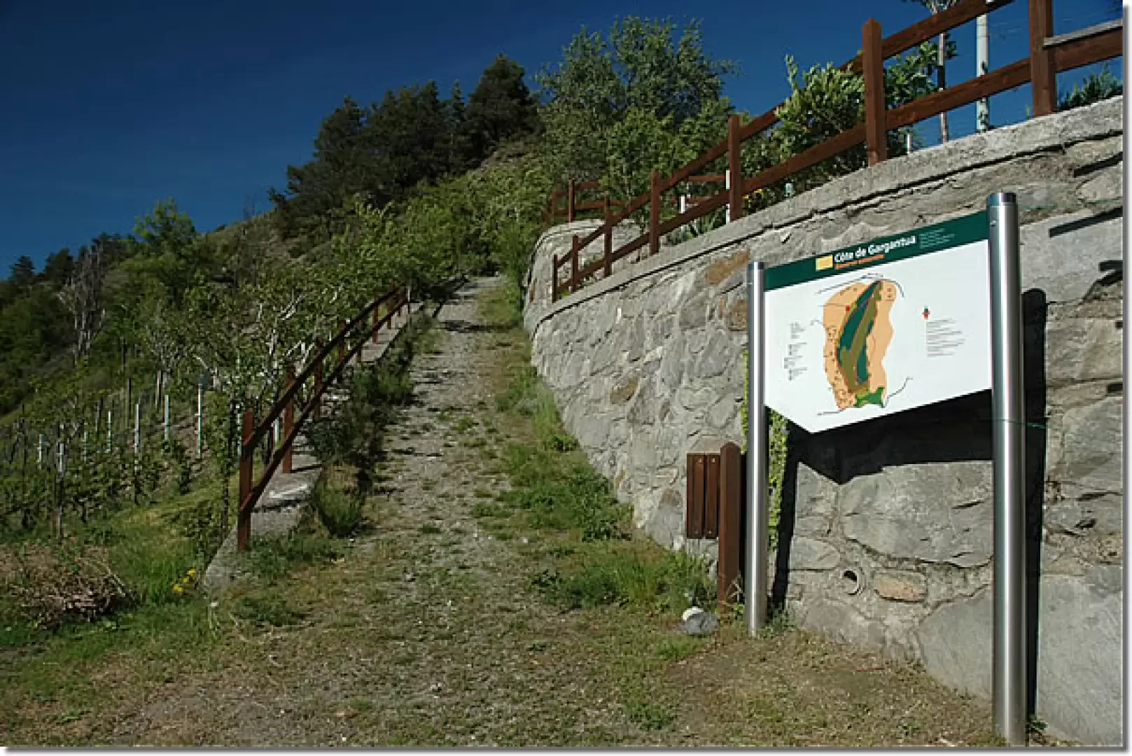
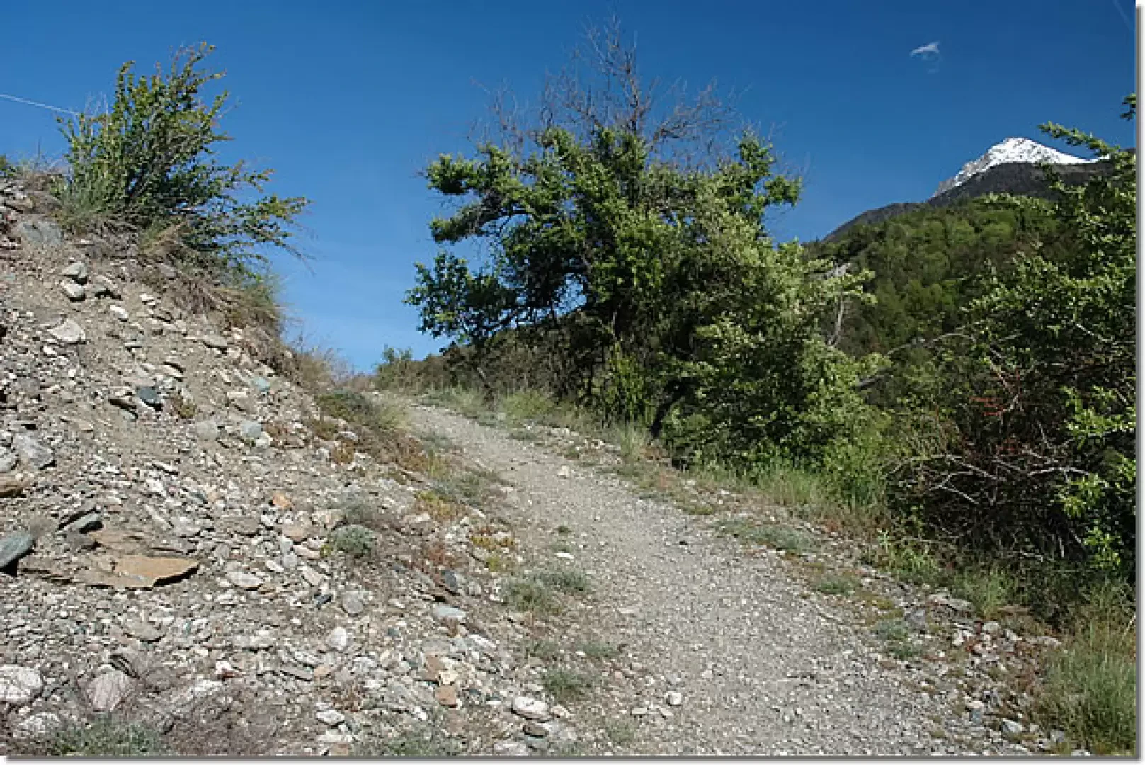
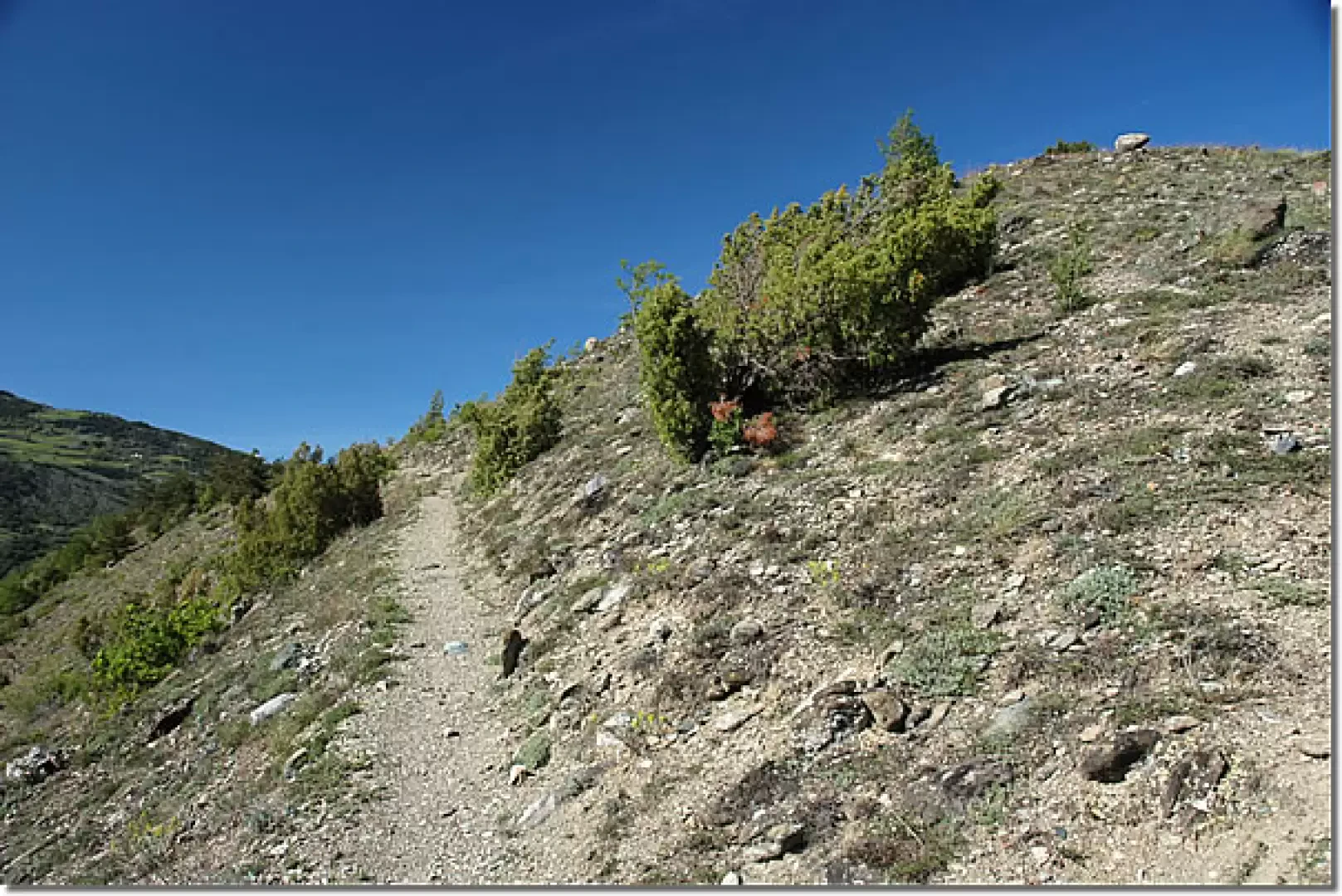
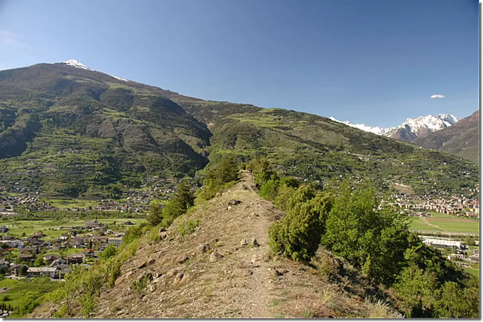
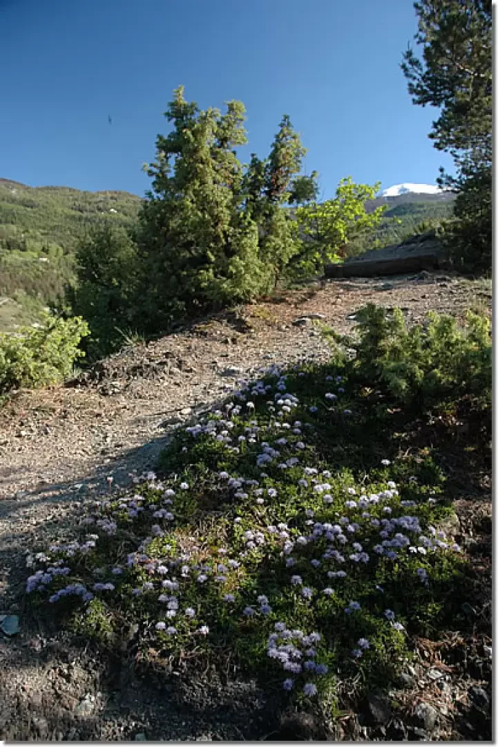
0h00' 0.00km Go briefly up the regional road as far as Clapey. Here, turn left and descend a narrow lane through the houses of the village. Shortly after the last houses, you will come across an explanatory panel illustrating the main features of the Côte de Gargantua Nature Reserve. Continue along the wide path with railings, which soon leads to a fork in the road. Neglect the path that starts out flat on the right and take the path on the left, which quickly leads to the summit cap of this particular geological formation. Continue walking along the 'crest', enjoying the panoramic position of this moraine hill. The views of the Aosta mountains are spectacular, with the Punta Chaligne, Becca di Nona and Becca di Viou silhouetted on the horizon. After encountering another explanatory panel, reach a cross located on the highest point of the relief (762m).
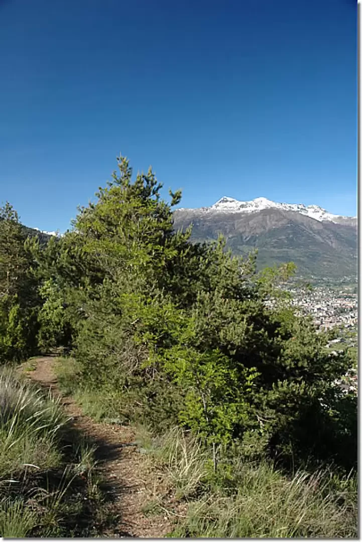
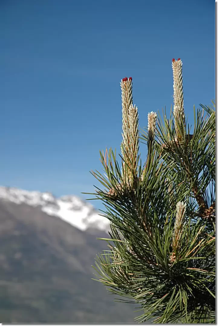
0h10' 0.40km From here, after enjoying the splendid view of Aosta, begin the descent. While the previous section was rather barren, without any tall vegetation, but full of spontaneous shrubs typical of arid environments, we now enter a more verdant environment, with needle trees and a few oaks. The descent ends at the first fork, where we turn right and gently climb the eastern slope of the Côte. After a straight stretch, you make a turn to the right and reach the ridge again. From here, take the path taken at the start again, descending towards Clapey and finally arriving at the Moline car park (734m) 0h40' 1.88km .
Points of Interest
- Moline
- Clapey
- Côte de Gargantua Nature Reserve
- Gressan
Collections
Galleria fotografica