Moron, from the terminus of Cillian


Edited by:
Massimo Martini
Updated at: 30/09/2025
Access
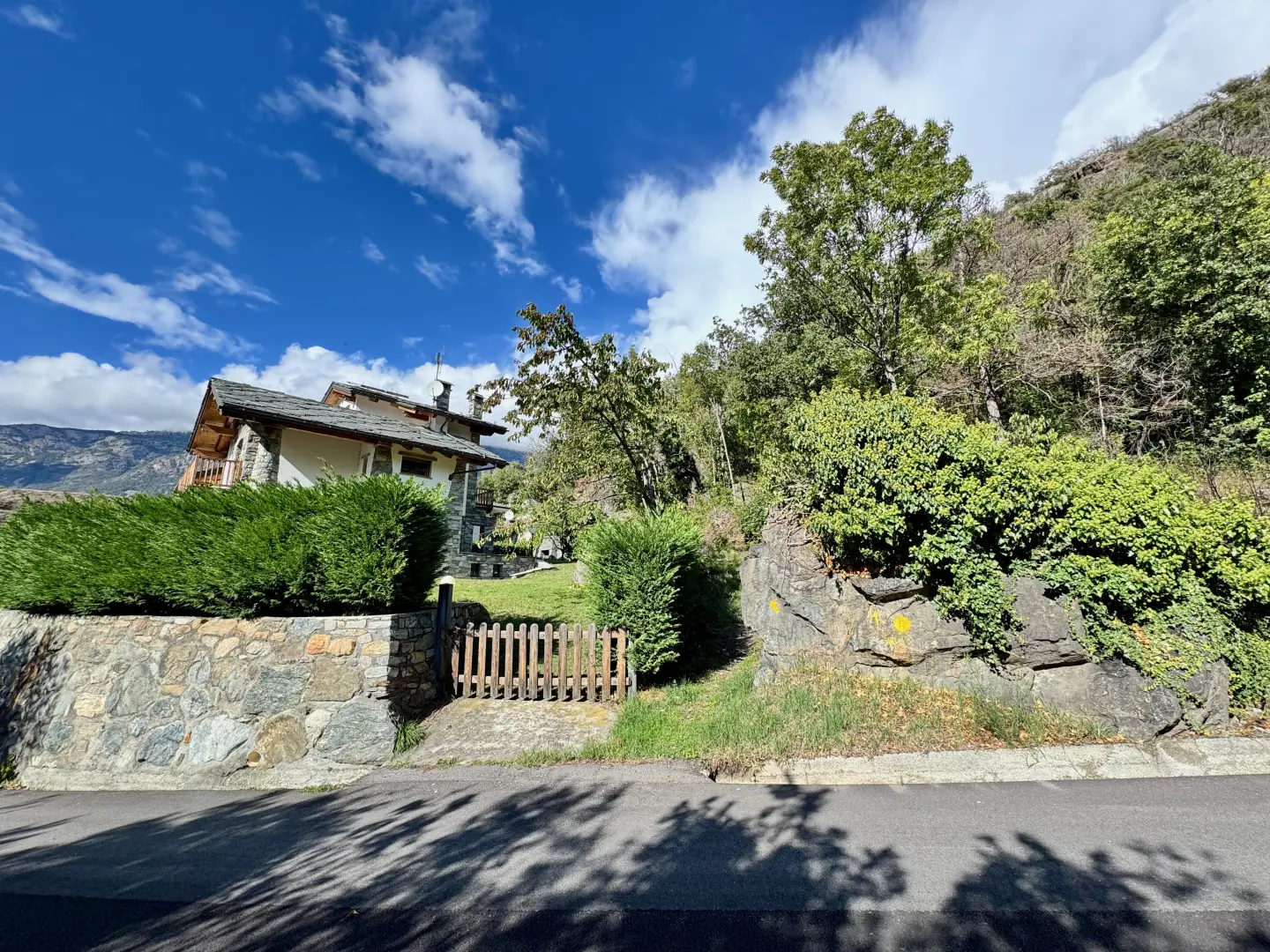
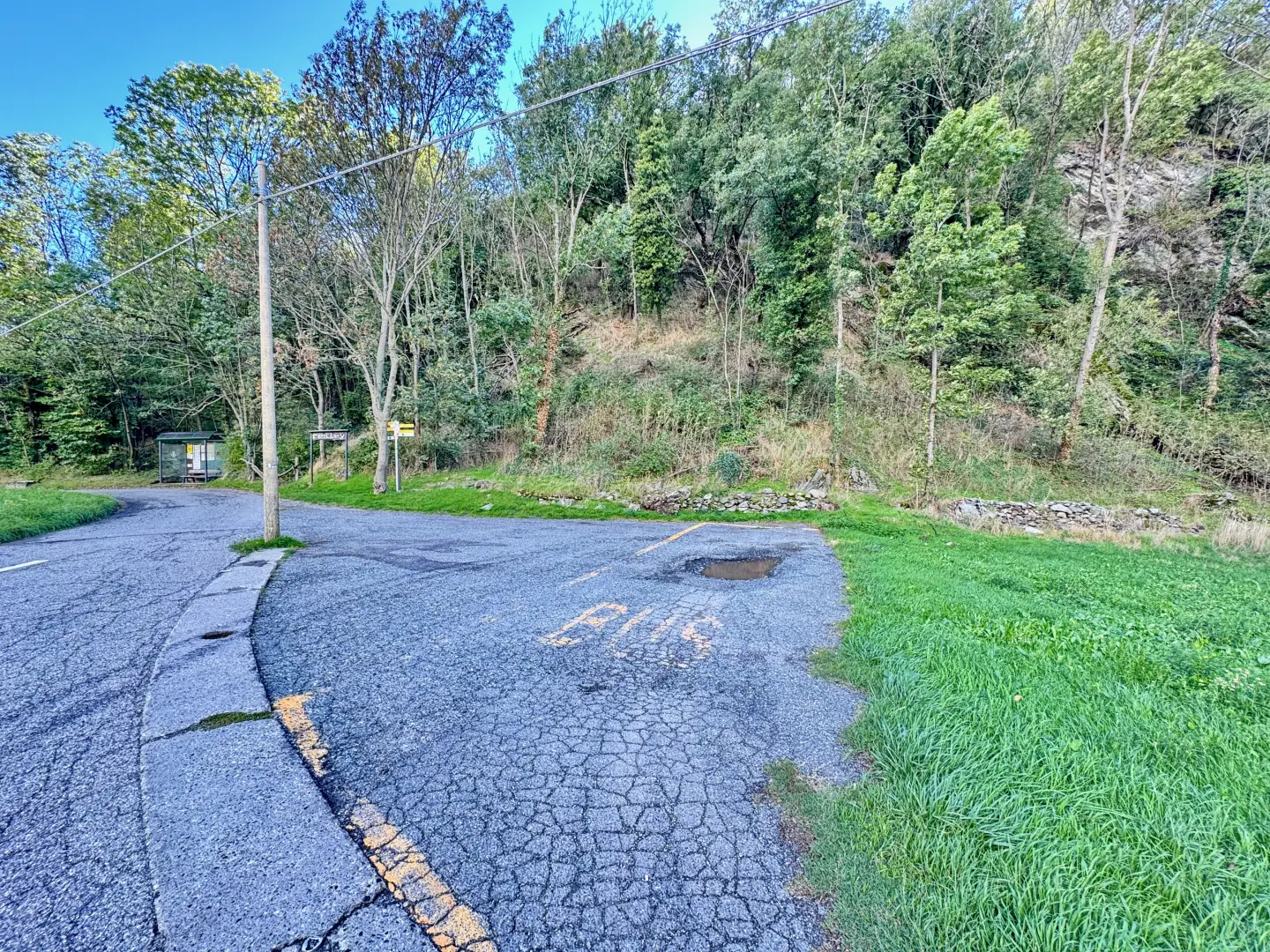
From the Châtillon-Saint-Vincent motorway exit, turn right and follow the signs for Saint-Vincent. Continue for about 500 metres to the first traffic light, then continue straight on towards the town centre. Once inside the town of Saint-Vincent, follow the main road until the roundabout in front of the Casino de la Vallée. Take the second exit, taking Via Marconi, located on the left-hand side of the road. Walk the entire length of Via Marconi and continue along Via Roma until you reach Piazza XXVIII Aprile. At the roundabout, take the second exit onto Via Ponte Romano and continue for approximately 400 metres. At a service station, turn left onto the regional road in the direction of Emarèse. Drive along for about 1.1 kilometres, passing through the village of Cillian. Just before the turnoff for Feilley, you will find the free parking area 🅿️ of the terminus of the Pontey-Cillian line on the right. It is recommended to park on the left so as not to obstruct bus manoeuvres.
The starting point of the itinerary is served by public transport. To consult the timetable, please visit aosta.arriva.it
Distance and travel time
🕒 Travel time: 9 minutes
📏 Distance: 4.5 km
GPS navigation
📍 How to get there with Google Maps
📍How to get there with Apple Maps
ℹ️ Important note
The directions given were verified on the date of the route survey. Before departure, it is advisable to check for any changes to the route. For up-to-date and detailed directions, we recommend the use of Google Maps or Apple Maps.
Introduction
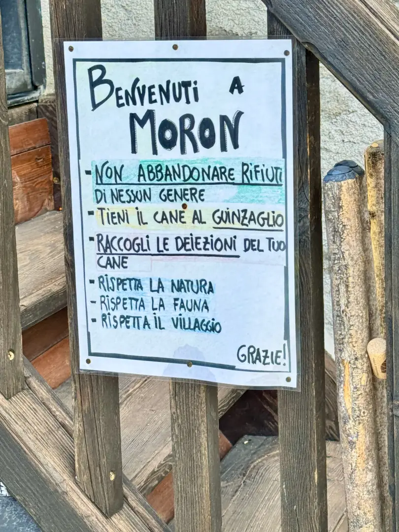
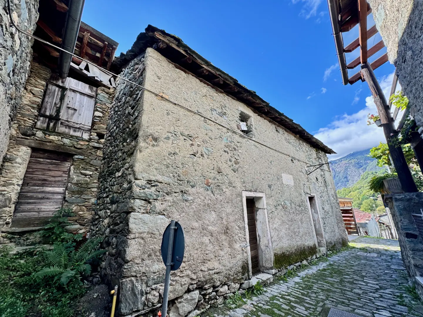
This short itinerary goes up the Vallone di Cillian, starting from the terminus at Cillian, passing through environments typical of the middle Valle d'Aosta and leading to the village of Moron, a characteristic rural nucleus of the municipality of Saint-Vincent. The itinerary winds through woods, agricultural terraces and glimpses of the central basin, immersing the visitor in an environment that preserves traces of local history and culture. The easy and well-marked route follows hilly paths that allow one to appreciate the progression from the valley floor to the first houses of the village, up to the church of San Maurizio. This route offers a representative overview of the landscape and anthropic identity of Moron, allowing, in just a few kilometres, to connect the modern road to the places of memory and tradition of the community.
Description
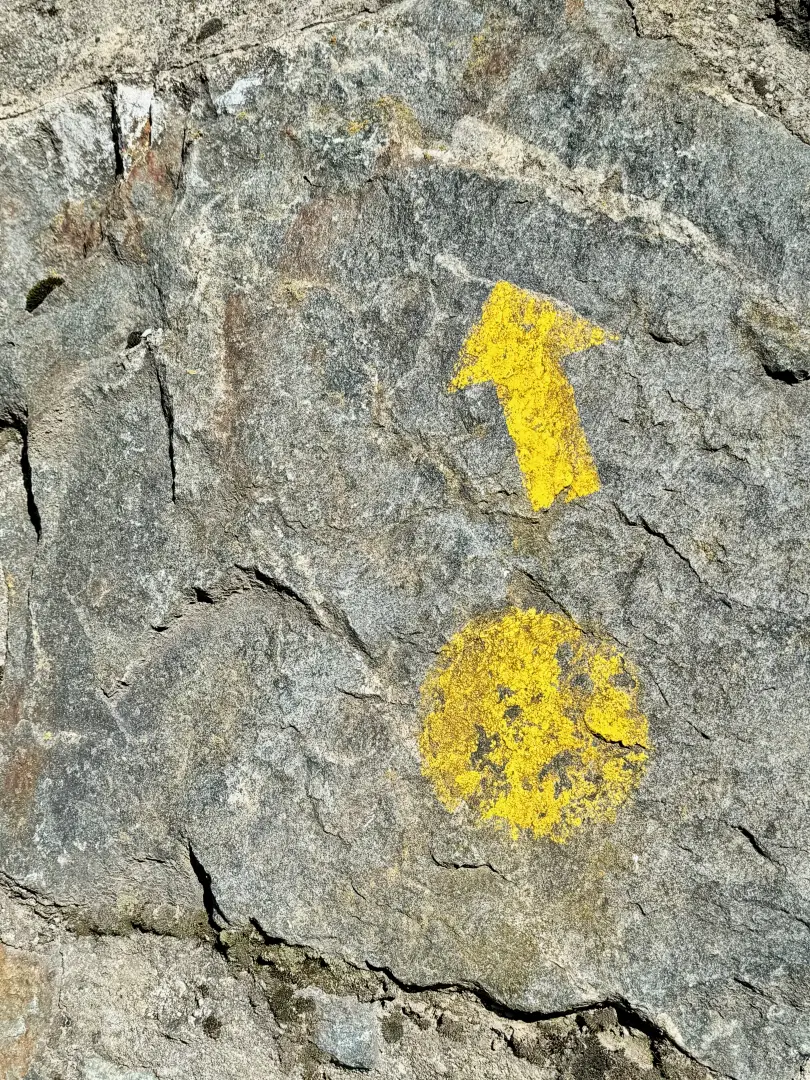
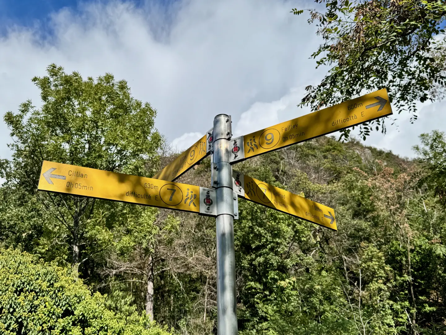
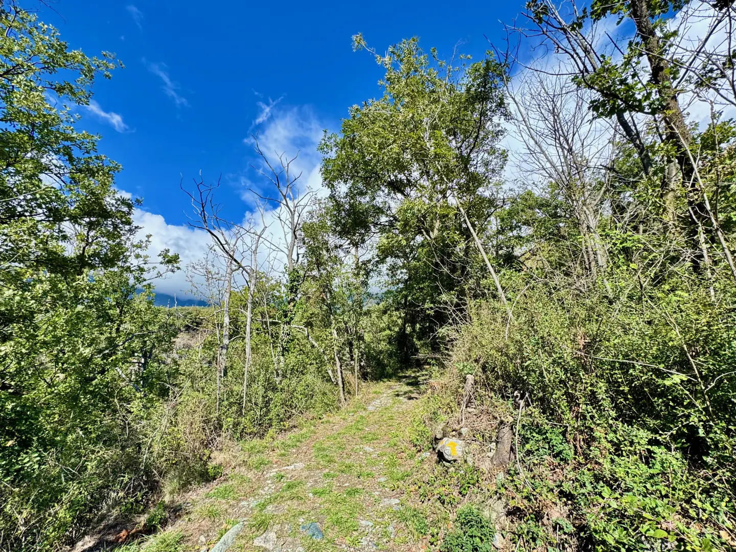
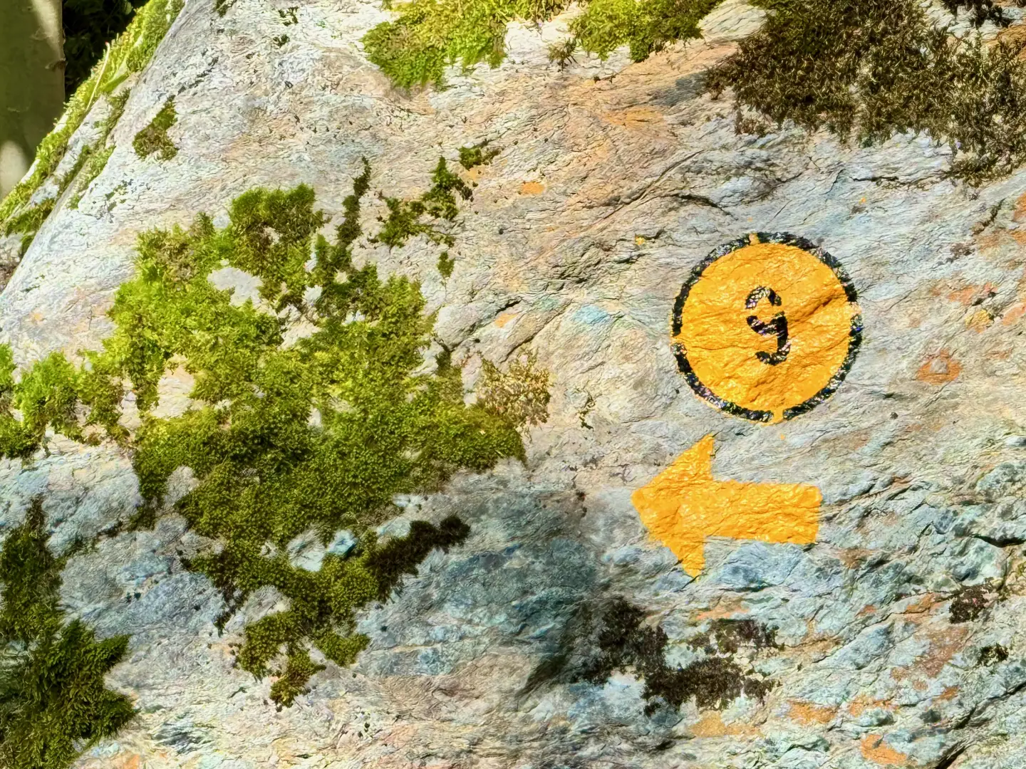
0h00' 0.00km From the car park near the bus terminus, follow the regional road back for about 50 metres, then turn right onto an uphill path. Continue until you reach a signpost indicating the route to follow. Turn left and walk along a flat section through the forest. At the end of the flat part, the path faces a short climb that leads to the road to Valyre, at a crossroads marked by a new marker.
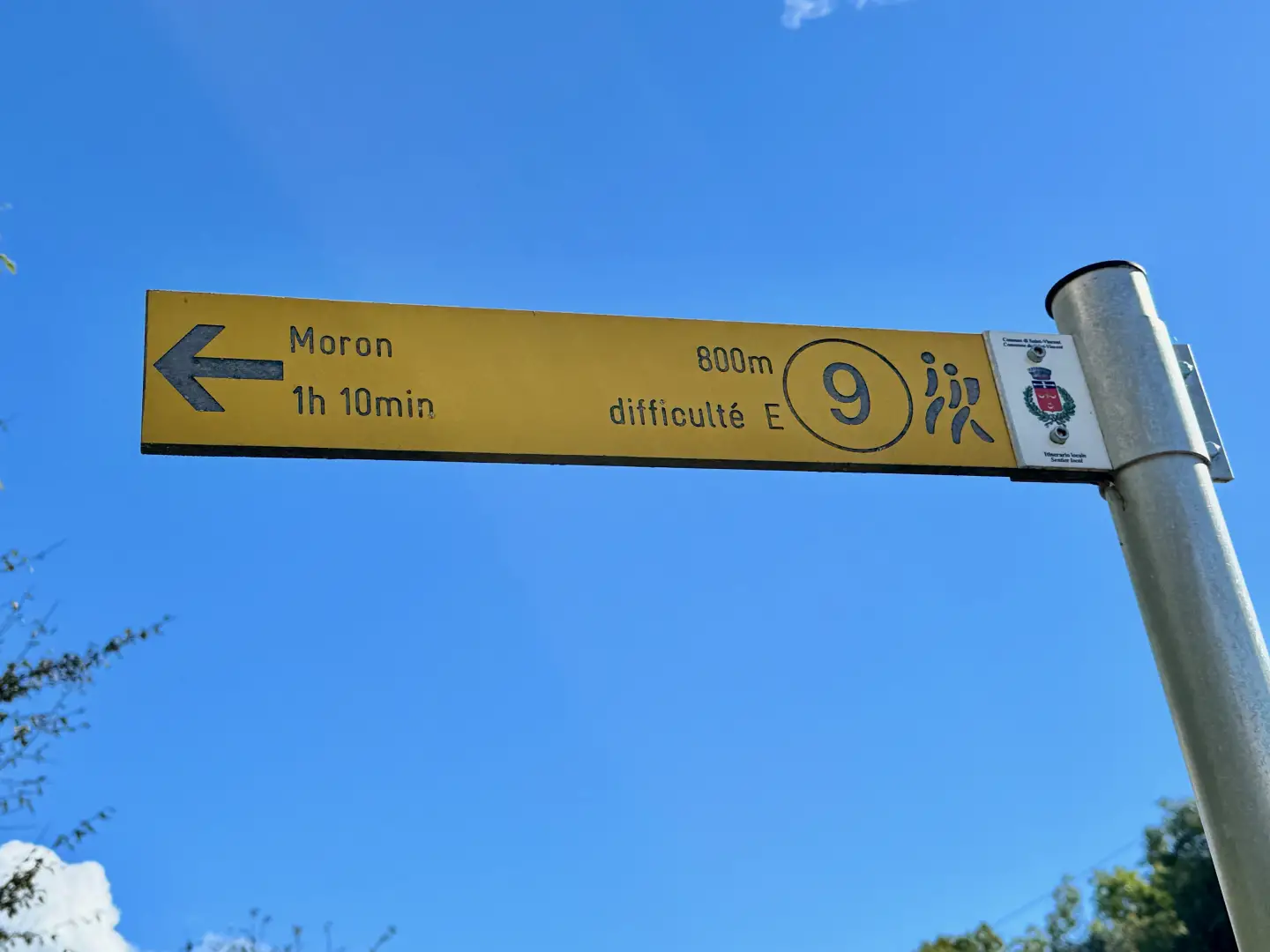
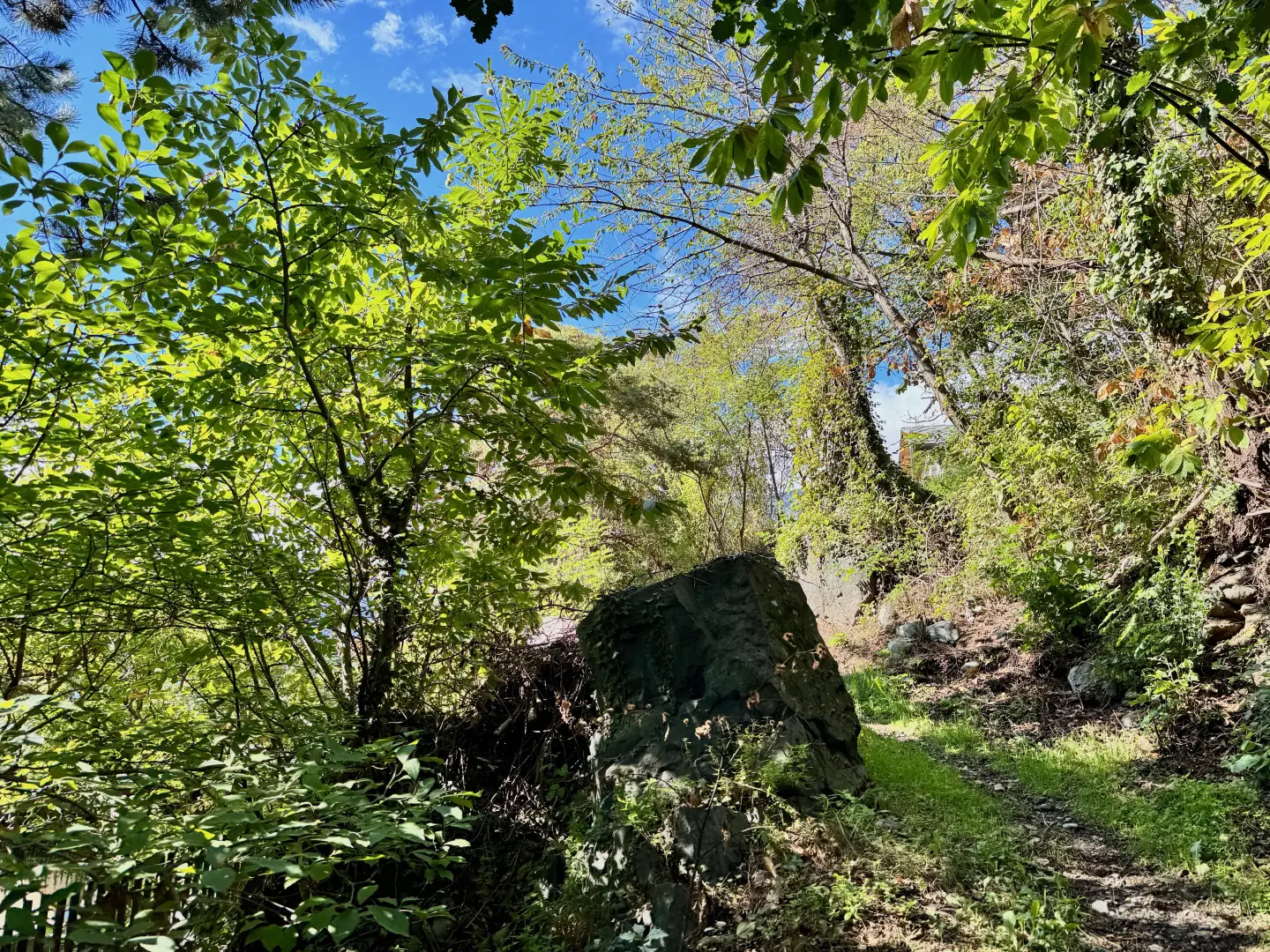
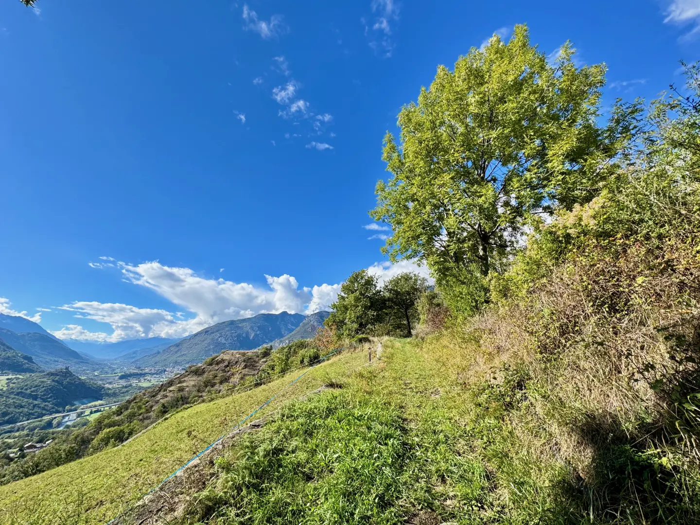
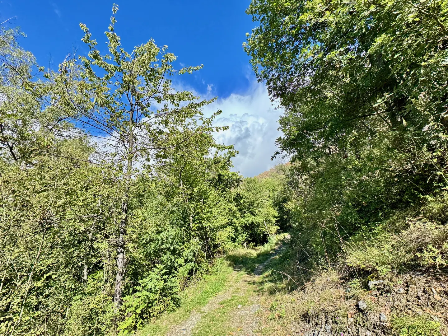
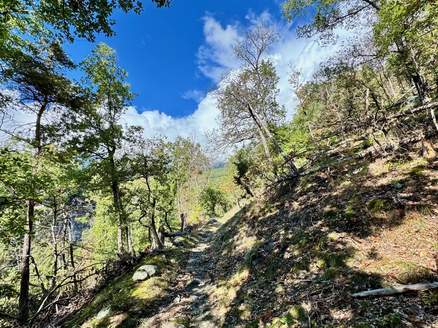
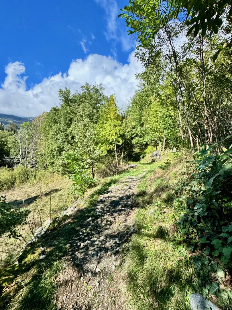
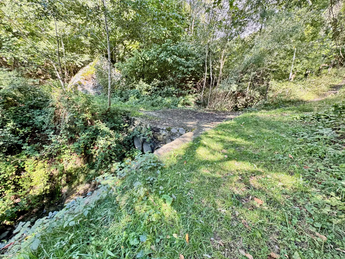
0h05' 0.20km Continue on the path past some houses and leaving the village of Perellaz on the left. After the last house, the path bends first to the right and then to the left, offering a wide panoramic view of the central valley. Past the open section, the path turns right and enters a forest dominated by downy oaks (Quercus pubescens). Ignore the small path to the left that descends to a lower track and continue along the main, wider path, which after a short climb reaches a clearing where it forks. Continue on the right-hand branch that, with a moderate slope, enters the valley. The path crosses the forest, interrupted by occasional panoramic openings over the valley and the Cillian cliffs. Towards the bottom, the path bends to the left and, in a short clearing, the church of Moron appears. Cross a small stream and reach a small concrete bridge over the Cillian stream. Turn left and, after a short flat stretch, you will come to a fountain 💧. A short climb takes you to the first houses of Moron. Proceed through a narrow alleyway that runs alongside the old school and leads to the road that leads to the church, located near another fountain 💧. 0h35' 1.52km .
The return journey follows the same route as the outward journey, descending into the valley until reaching the starting point 0h20' 1.52km .
.Point of Interest
Collections
- hikes departing from Cillian - on the map
- hikes to the villages of Saint-Vincent - on the map
- hiking to villages in the middle Aosta Valley - on the map
- hikes to villages in the Aosta Valley - on the map
- hiking in Saint-Vincent - on the map
- hiking in the mid-Aosta Valley - on the map
- hiking in the Aosta Valley - on the map
Photo gallery
Comments (0)
Sign in to leave a comment