La Suche, from L'Ermitage


Edited by:
Vivalaporchetta
Last survey: 09/04/2006
Updated at: 24/02/2025
Updated at: 24/02/2025
Difficulty
WT2
Length
0.00 Km
Departure altitude
1443 m
Arrival height
1810 m
Positive difference in height
367 m
Round trip time
02h00'
Return time
01h00'
Recommended period
Introduction
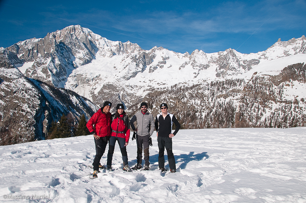
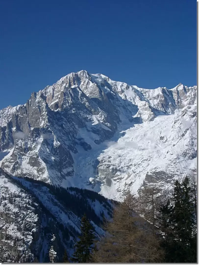
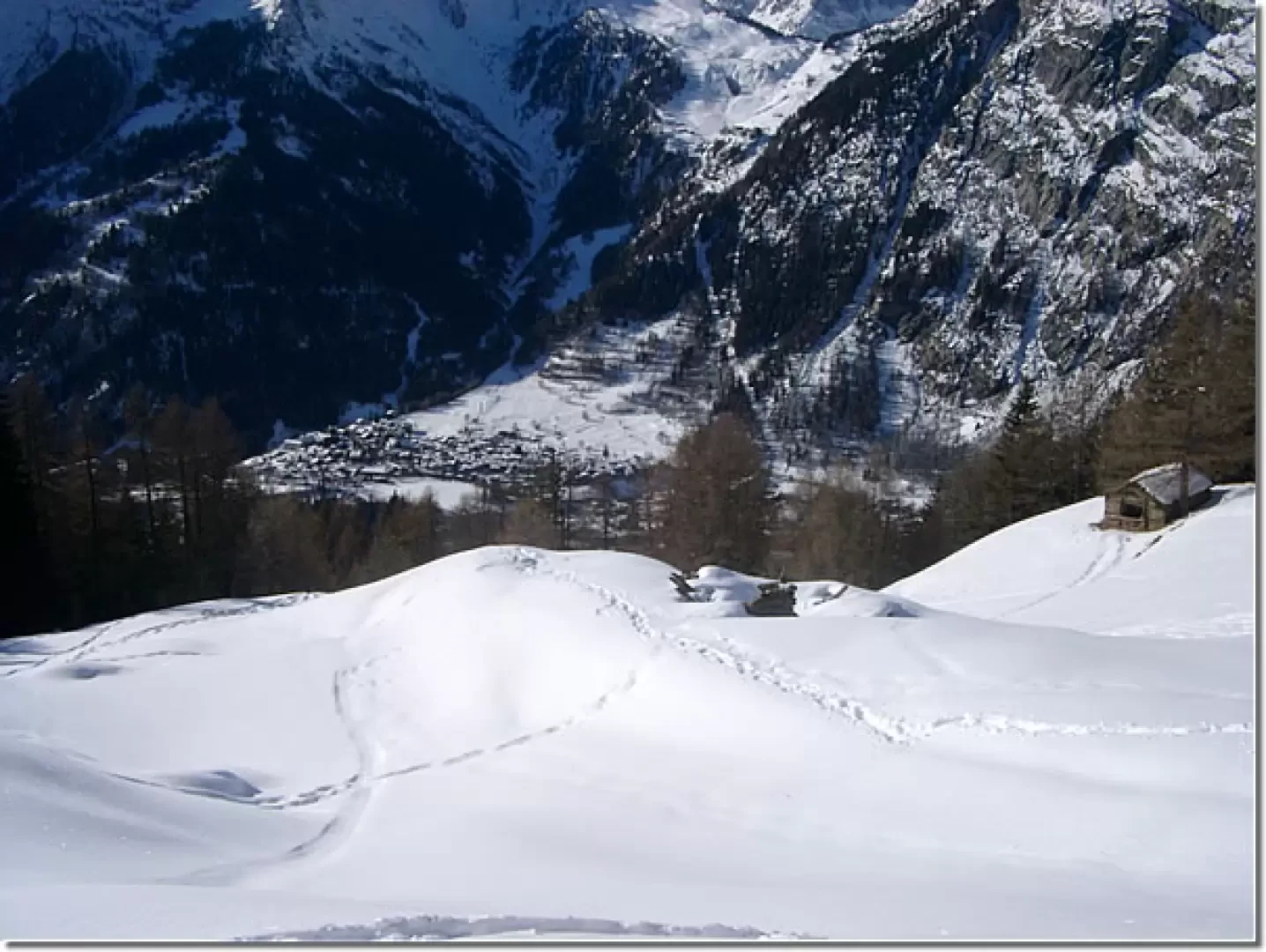
Nice snowshoe ascent to a beautiful viewpoint.
Description
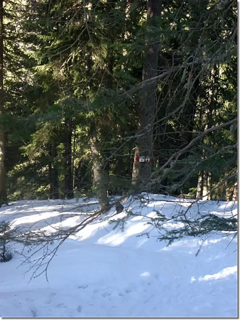
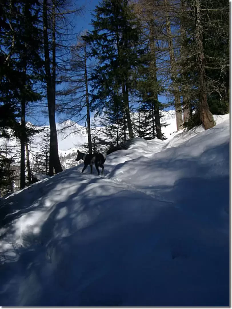
From the Ermitage (1443m), climb up through the forest (signpost) obliquely to the south-east until you reach a fork (1581m, signpost) to take the path up from Plan Gorret. You now climb up to the left (north-east), on the fairly obvious mule track, watch out for a pronounced bend to the right (red signpost) and a steep section leads to a fork (signpost). Go uphill to the left and soon exit the forest. You leave some huts on the left (1730 m) and soon reach La Suche (1810 m, 2h00').
The return journey is by the same route as the outward journey (1h00').
Galleria fotografica
© 2021 -
© 2021 -
© 2021 -
© 2021 -
© 2021 -