At the motorway junction of Aosta West, enter the roundabout and take the second exit following the signs for / Cogne / Aymavilles. Continue on for 20.0km (20.0km) to the roundabout at the entrance to Cogne, where take the first exit onto Avenue G.F. Cavagnet (350m, 20.35km). Continue on Via Bourgeois (120m, 20.5km), then turn right onto Rue Grand Paradis. Follow Rue Grand Paradis for 2.4km (22.9km), continue on Frazione Valnontey for 210m (23.1km) and turn right to reach the car park.
Parking
At the end of the road is the 🅿️ car park in Valnontey, the access point to the Gran Paradiso National Park. Check on site for access conditions and any seasonal restrictions imposed by the park authority.
Access by public transport
The Valnontey car park can be reached by the Cogne urban circular line run by SVAP. The reference stop is Cogne Valnontey. The winter service runs every weekday and on public holidays, except 25 December and the summer period; the runs serving the Valnontey stop depart from Cogne Revettaz at 09:00, 10:05, 11:10, 12:40 and 15:00, arriving in Valnontey at 09:25, 10:30, 11:35, 13:05 and 15:25 respectively. For updated timetables please consult the timetable SVAP - Cogne Urban Line.
The information provided has been verified as of the date of the survey of the itinerary. Before departure, it is recommended to check possible changes in the route or road conditions. Please consult Google Maps or Apple Maps for the latest information.
.
Introduction
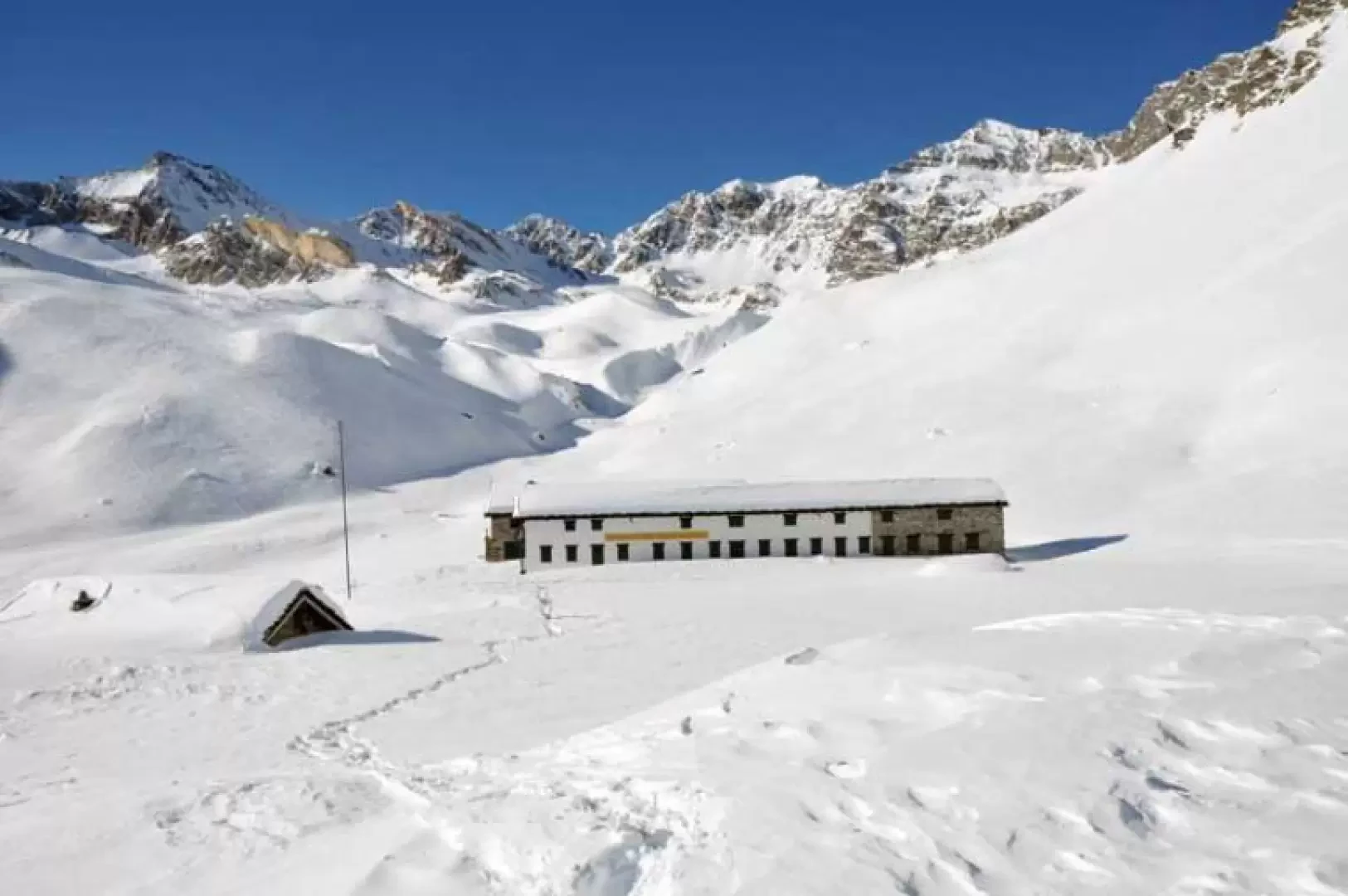
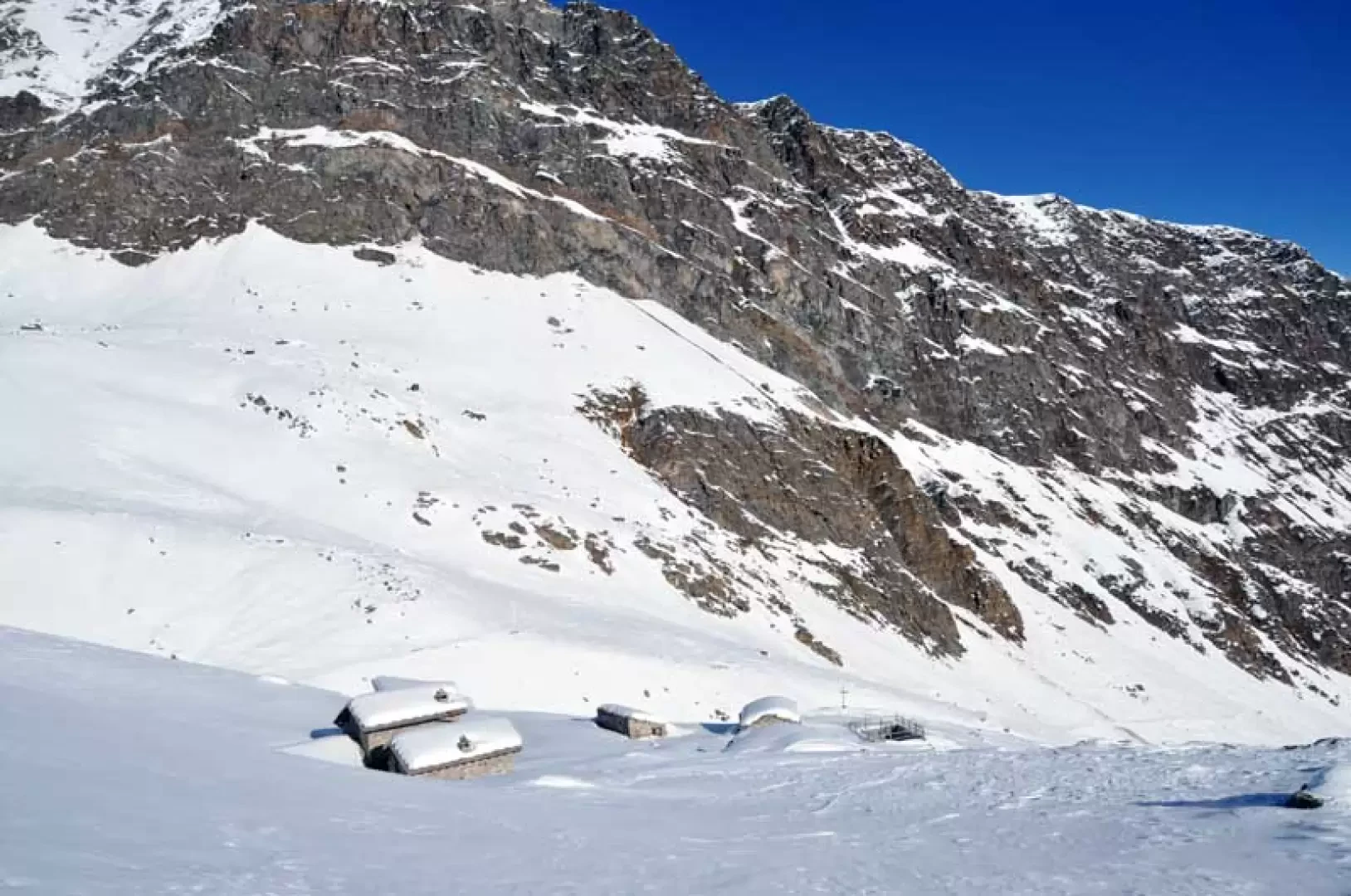
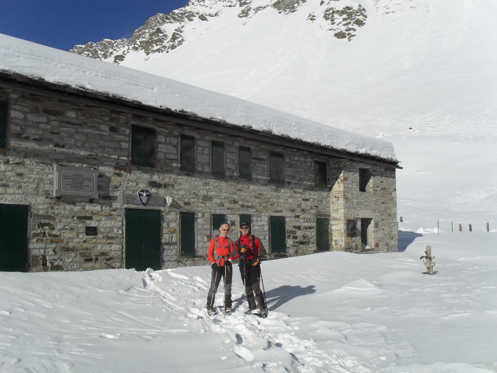
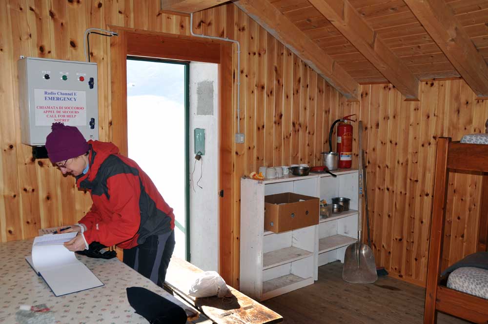
The excursion takes place in the heart of the Gran Paradiso National Park, arriving at a panoramic refuge situated at the end of a wide plateau. Adjacent to the building is a comfortable winter hut and, a little further away, the park rangers' hut; during the excursion it is also easy to spot the alpine fauna that populates these territories in large numbers. The ascent does not present any technical difficulties or exposed sections and allows you to enjoy exceptional views of the nearby peaks of Valnontey and the southern part of the Grivola group; once at the hut, it is advisable to continue, with a short continuation, towards the upper plateau from which the panorama opens up even more and from which you feel pleasantly immersed in the midst of imposing rocky peaks and vast snow-covered slopes.
Description
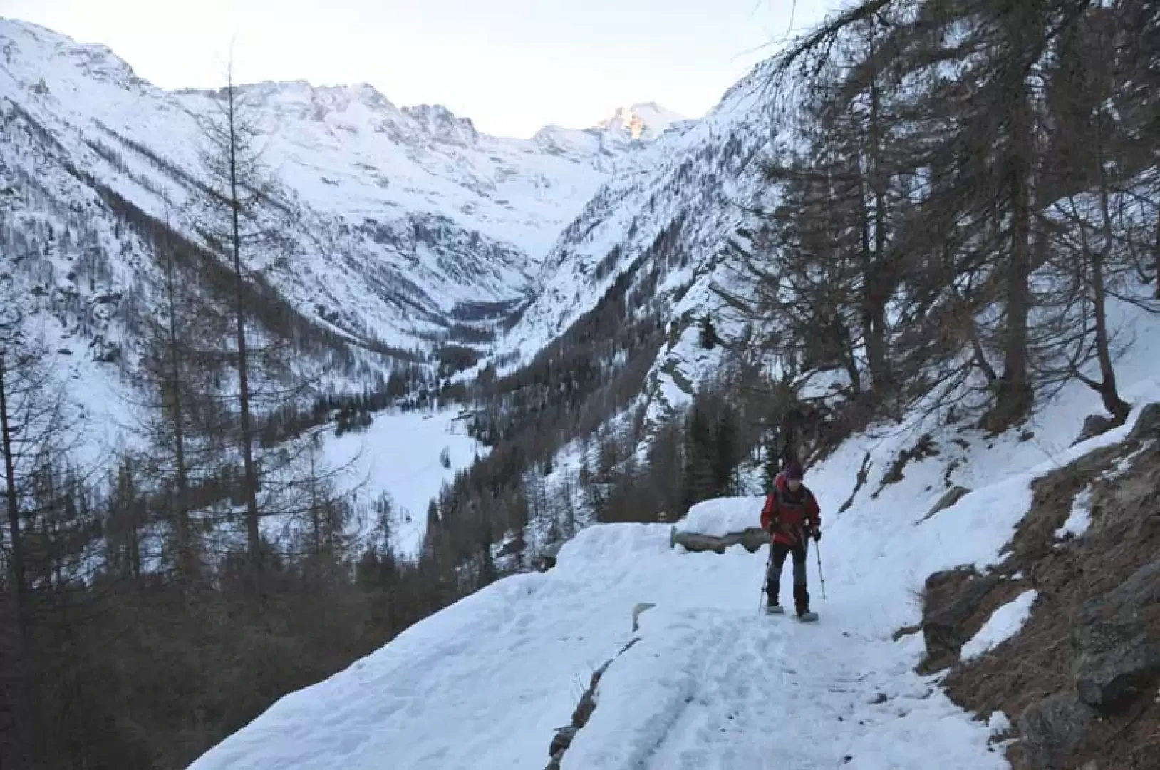
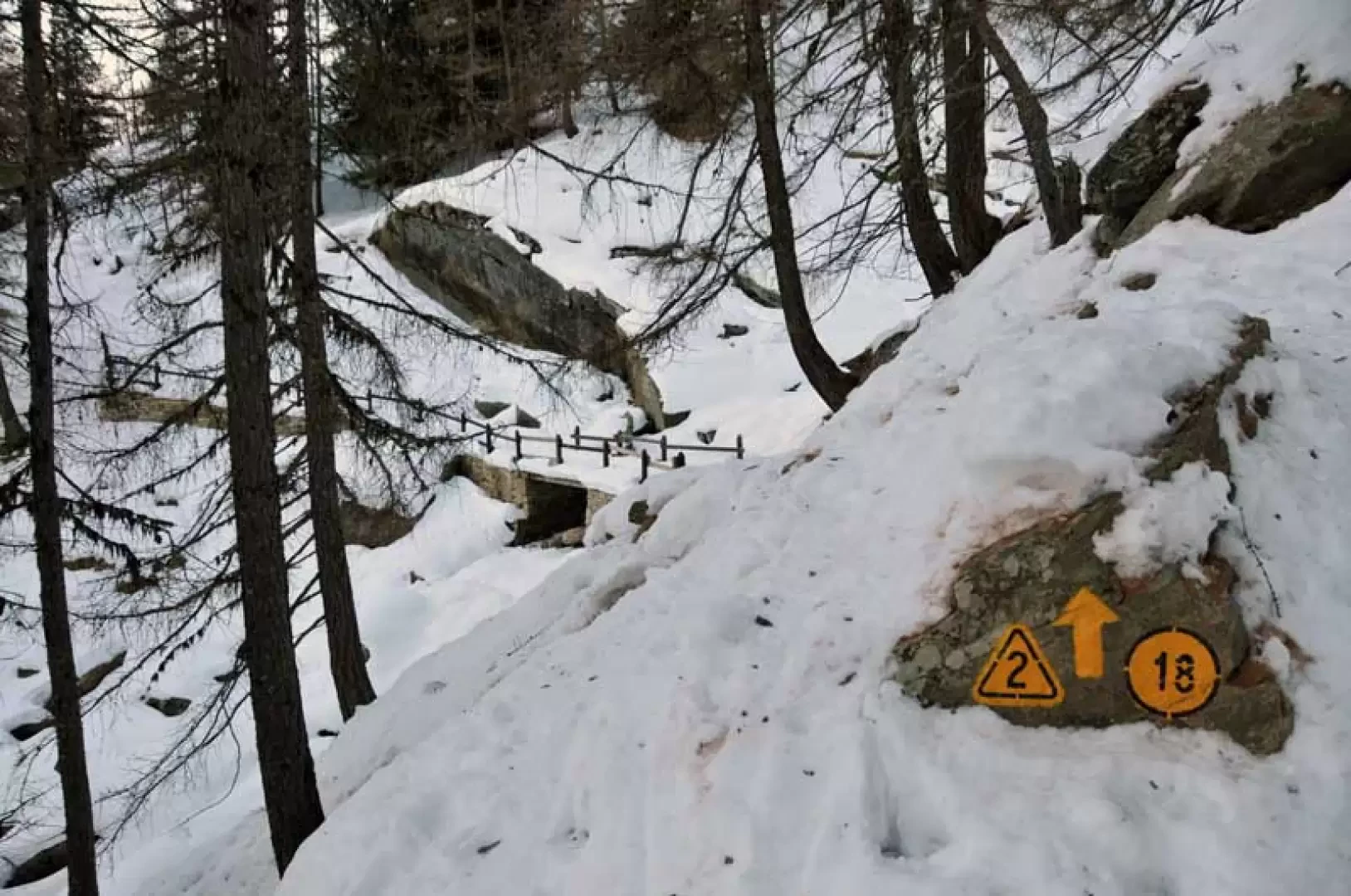
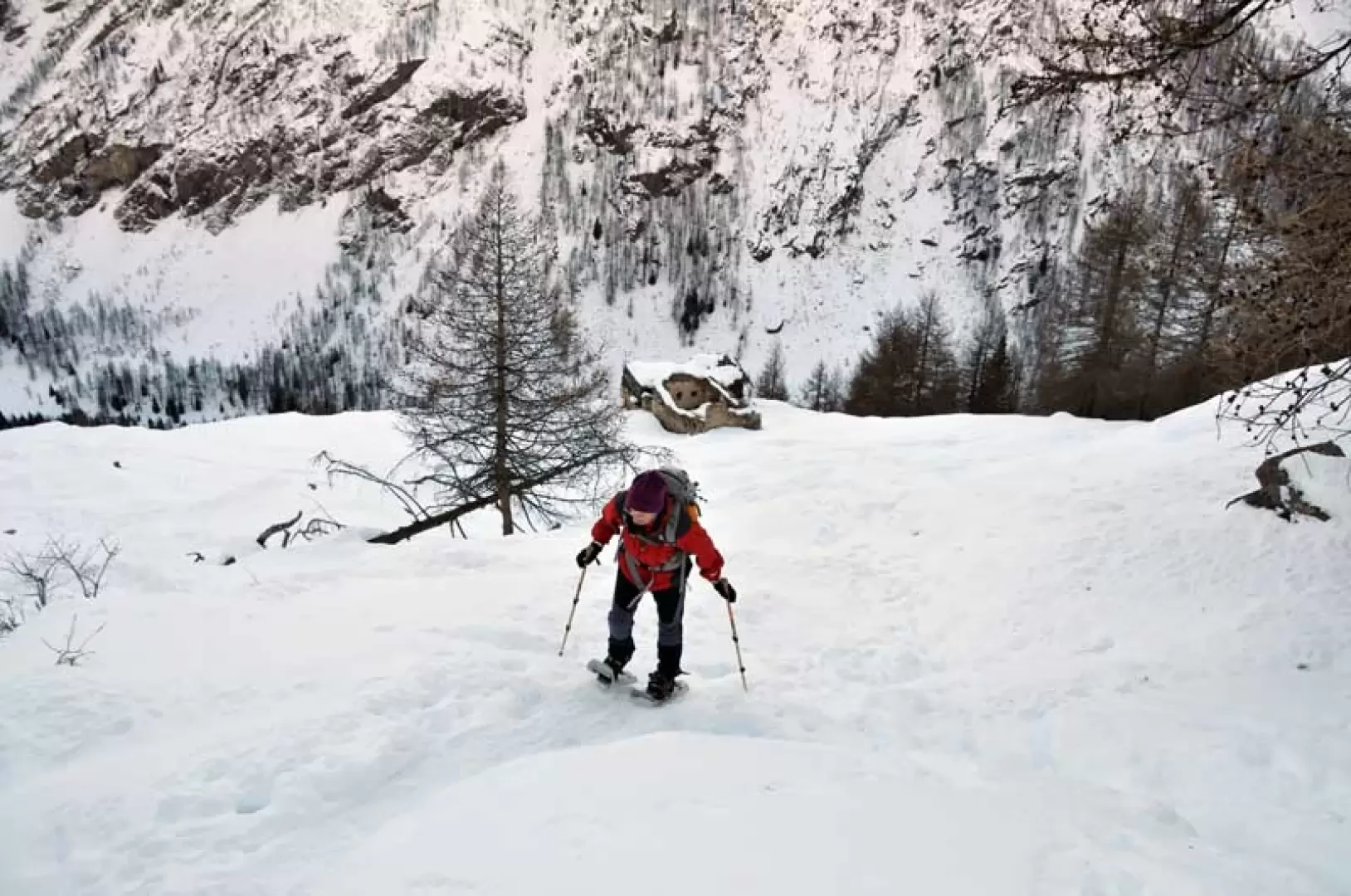
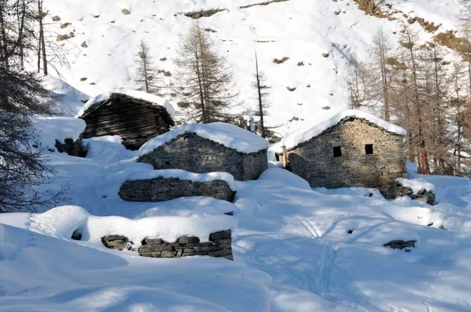
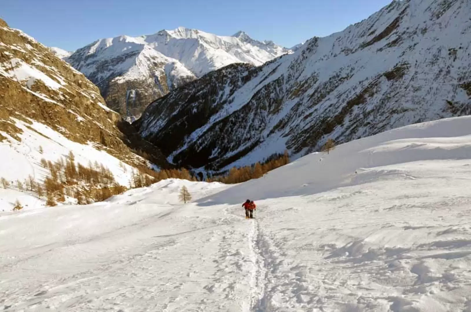
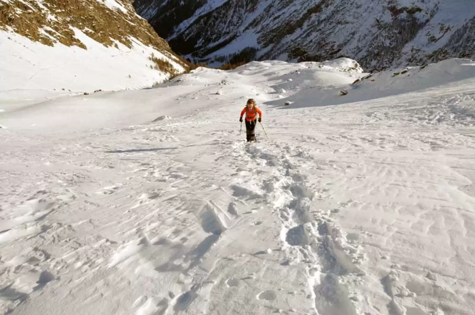
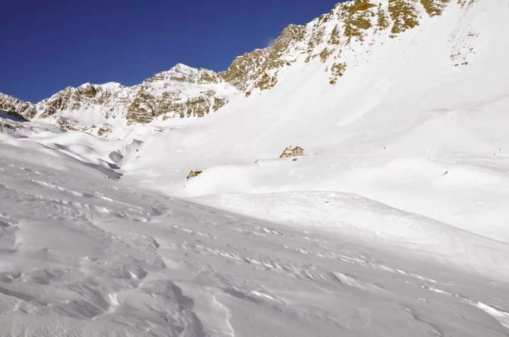
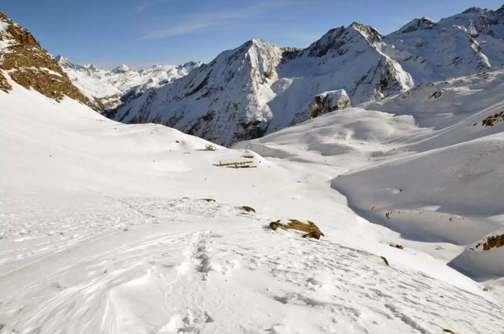
From the upper car park, you reach the obvious markers and, skirting the fence of the "Paradisia" alpine garden, walk sideways for a short distance before beginning to climb up the track of the path, which climbs the slope of the coniferous forest with a few comfortable bends. Then, after a stretch halfway up the slope to the left, you come to a fork (1978 m) where the path to the right is closed off by a small fence and then continue to the left, descending a few metres to cross a small bridge. Climb up the opposite slope, remaining slightly to the left, and then turn right following a path that passes not far from a ruin, which you leave to the left, reaching the Toules huts (2122 m) above with a few steep stretches. From here, it is advisable to ascend the sparse grove above instead of following the summer trail that descends to the gorge of the stream. With an almost straight path and a constant gradient, you pass a little to the left of the Pacheu huts, reaching more open and panoramic spaces. Continue to walk up the panoramic slope, which becomes steep in places, leaving the Grand Lauson huts far to the right and, after another steep slope from which you can see the P.N.G.P. hut, cross a low promontory on the right to surround it and, not far away, you can see the hut building on the right. To reach it, cross the snow-covered stream and, with a short climb, you will reach it.
Bella gita in una splendida giornata di sole.
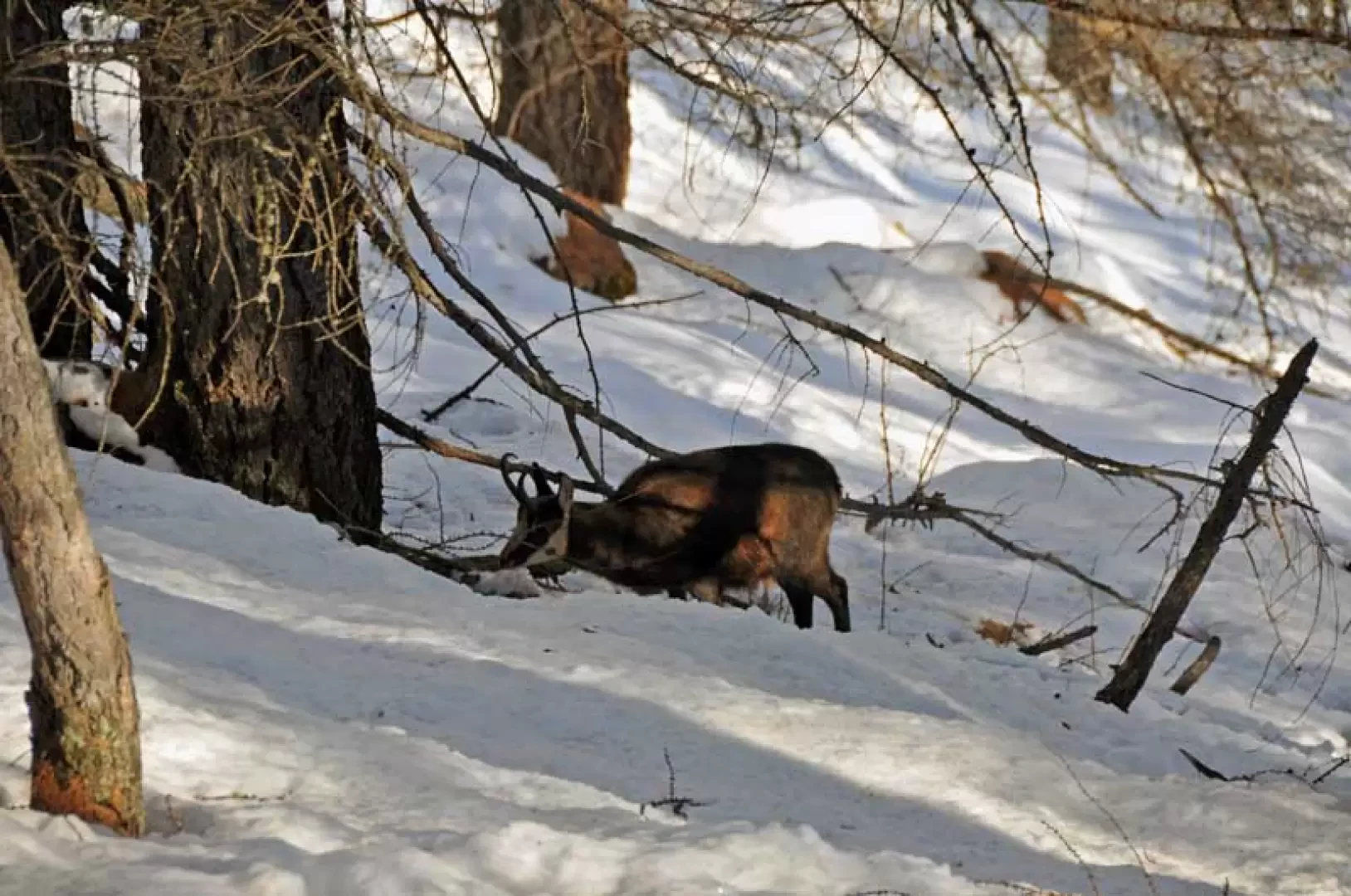
In partenza poca neve, quasi ghiacciata, sul sentiero nel bosco: avvistati molti camosci e qualche scoiattolo.
Da Toules la neve è più consistente, leggermente crostosa, con traccia molto evidente sino a Pacheu. DA Pacheu poche tracce, parzialmente cancellate dall'attività eolica, ma nel complesso la neve è portante.
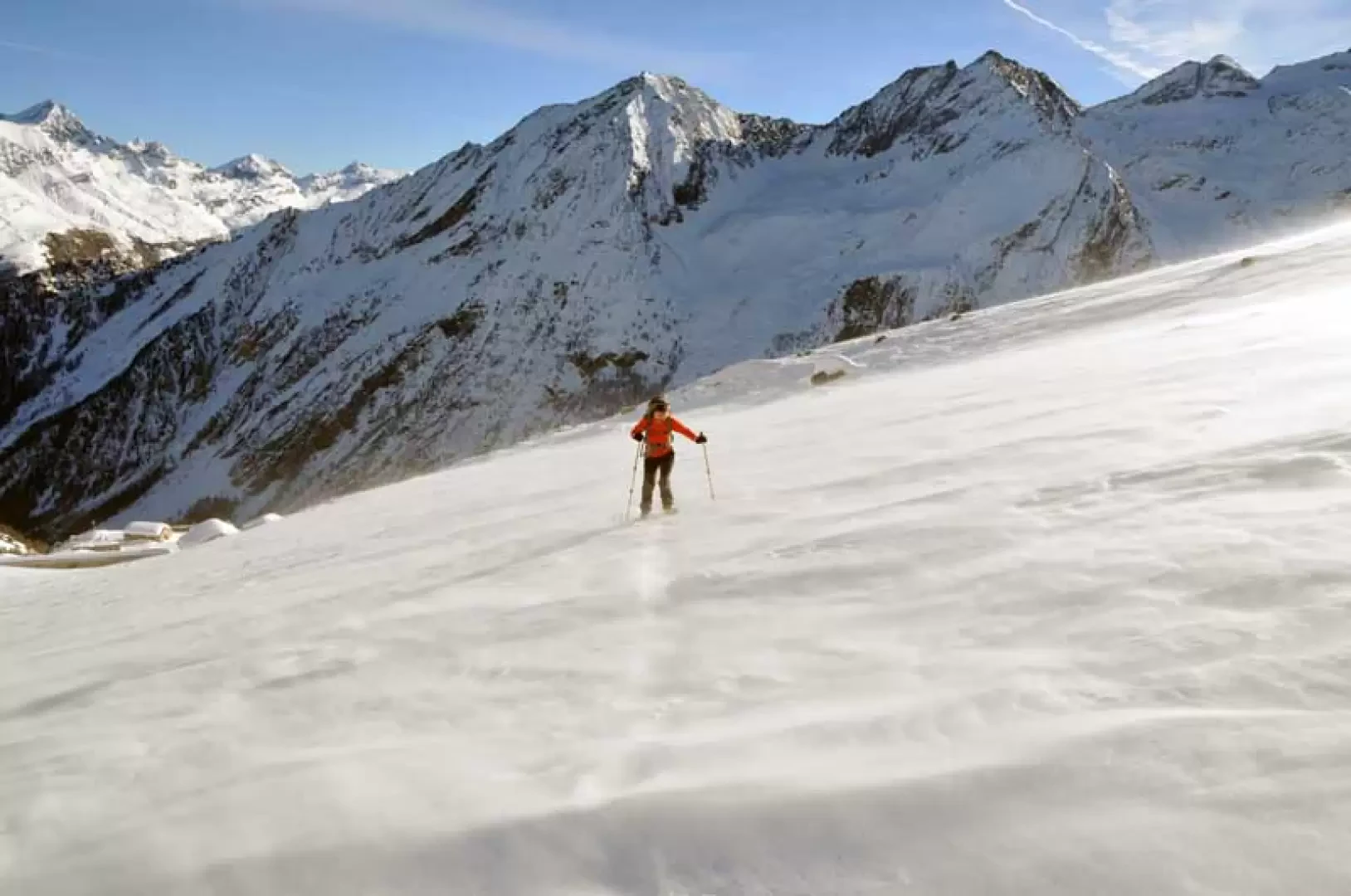
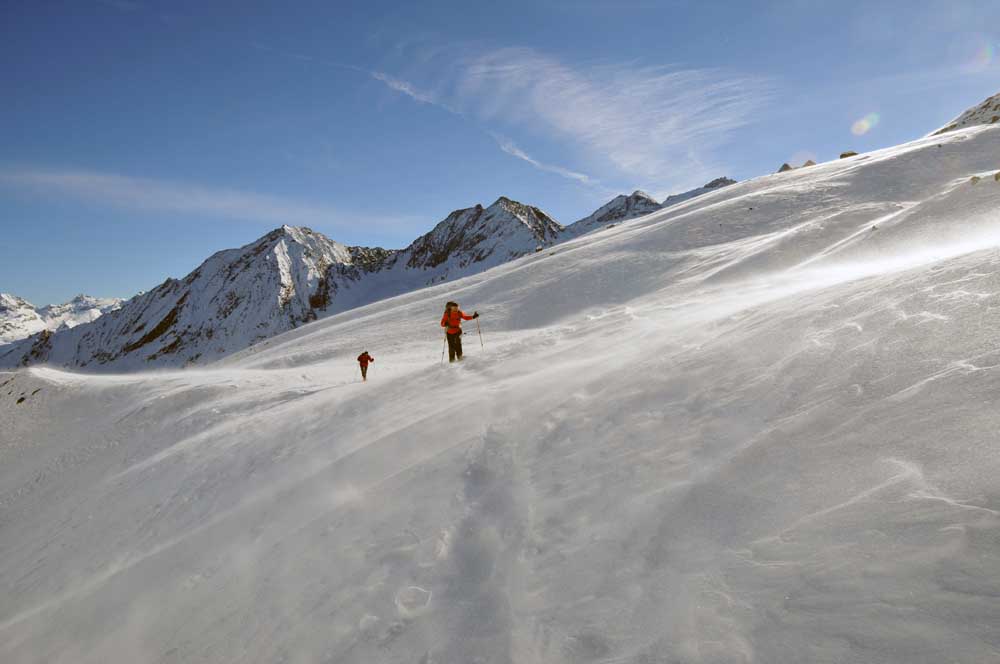
Dalla partenza alle baite di Toules la traccia era presente ma oltre è stata da fare; durante la salita si percepivano ogni tanto tracce di scialpinisti che si perdevano subito per l'azione del vento forte, ma non gelido, che incessante ha soffiato negli ultimi 400/500 metri di dislivello che cancellava anche le nostre tracce appena fatte. Al rifugio il paesaggio era da favola nel silenzio più assoluto e, stranamente, da soli; abbiamo proseguito sini ad una quota di 2724 m per allargare un po' il panorama e, perchè no?, per vedere le condizioni dei pendii del colle della Rossa e del Grand Sertz per eventuali salite primaverili e nella speranza di trovara tracce già esistenti.
Trovati un paio di ciaspolatori a Toules e due scialpinisti che salivano il pomeriggio dove si pecepivano temperatura alte che rendevano pesante la neve. In discesa ci siamo tenuti su una dorsale più sulla destra per vedere nell'attiguo vallone se si vedevano animali che abbiamo trovato sulle rocce soprastanti il percorso del sentiero estivo e nel bosco.
Consigliata per gli ambienti e per la fauna.
Avvistamenti faunistici: Rupicapra rupicapra
Dalla partenza alle baite di Toules la traccia era presente ma oltre è stata da fare; durante la salita si percepivano ogni tanto tracce di scialpinisti che si perdevano subito per l'azione del vento forte, ma non gelido, che incessante ha soffiato negli ultimi 400/500 metri di dislivello che cancellava anche le nostre tracce appena fatte. Al rifugio il paesaggio era da favola nel silenzio più assoluto e, stranamente, da soli; abbiamo proseguito sini ad una quota di 2724 m per allargare un po' il panorama e, perchè no?, per vedere le condizioni dei pendii del colle della Rossa e del Grand Sertz per eventuali salite primaverili e nella speranza di trovara tracce già esistenti.
Trovati un paio di ciaspolatori a Toules e due scialpinisti che salivano il pomeriggio dove si pecepivano temperatura alte che rendevano pesante la neve. In discesa ci siamo tenuti su una dorsale più sulla destra per vedere nell'attiguo vallone se si vedevano animali che abbiamo trovato sulle rocce soprastanti il percorso del sentiero estivo e nel bosco.
Consigliata per gli ambienti e per la fauna.
Avvistamenti faunistici: Rupicapra rupicapra




Comments (0)
Sign in to leave a comment