Nearby
📍 Location Details
Latitude:
Longitude:
Accuracy:
Updated:
0 km
100 km
Path
km
-
km
m
m
Hike Type
Round trip
Circular
Crossing
Partially circular
Recommended Period
All
Hiking
Snowshoeing
Ski-mountaineering
Mountaineering
Via ferrata
Climbing
Mountain bike
Trekking
Active filters:
Tags: hiking,courmayeur
Showing 31 results
with active filters
Loading...

Edited by:
Giancarlo Beretta
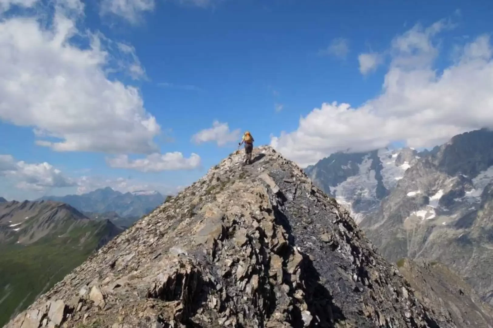
Aiguille des Angroniettes to Col Ban Darrey, a circular walk from Arp Nouvaz
This beautiful and challenging circular walk takes you away from the crowds on the classic trails, through the upper Val...
T3
12.03 Km
1155 m

Edited by:
Massimo Martini
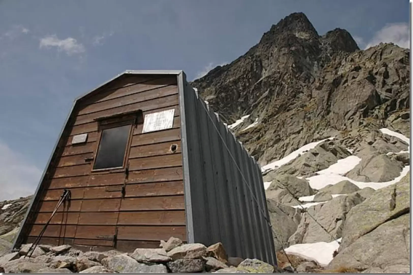
Comino Bivouac, from Arp Nouva
This trip allows you to discover an often wrongly neglected side of the Mont Blanc Massif and takes place on...
T4
8.00 Km
661 m
Edited by:
Massimo Martini
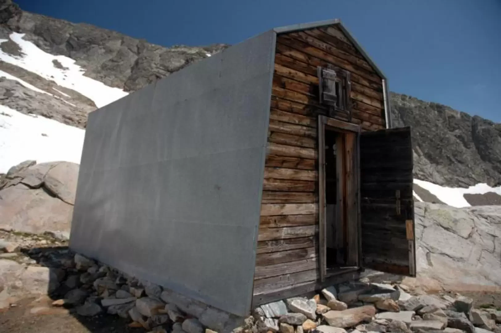
Fiorio Bivouacs, from Arp Nouva
Located at the foot of Mont Dolent and on the edge of the Pré de Bard glacier, the two bivouacs...
T3
9.00 Km
942 m
Edited by:
Massimo Martini
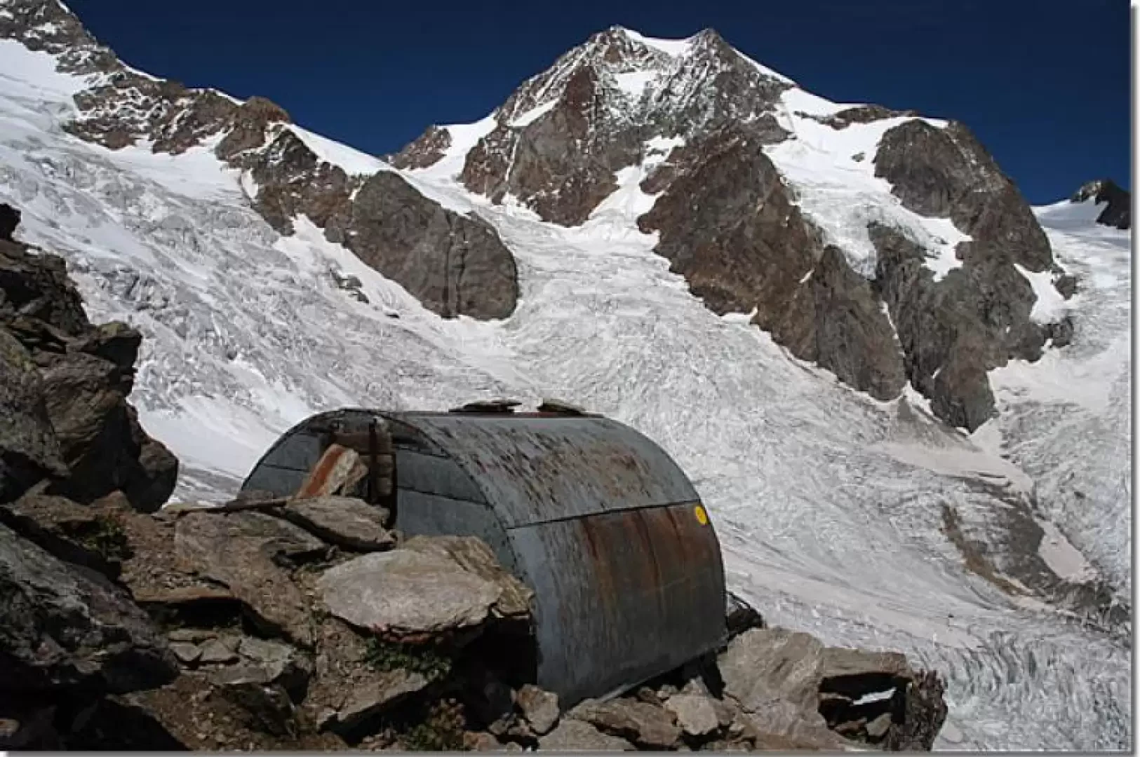
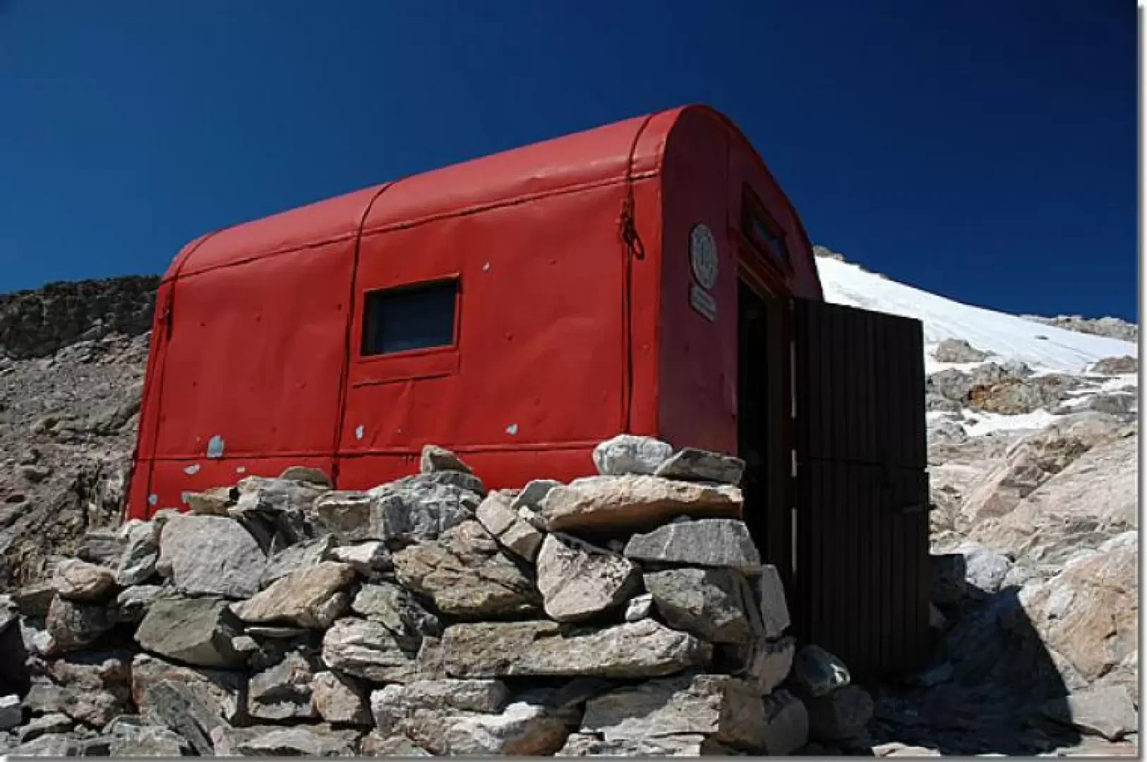
Hess Bivouac, from La Visaille
Situated on a rocky knoll near the Col de l'Echellettes, the bivouac remains perched like a real eagle's nest. Built...
T3
17.22 Km
1217 m
Edited by:
Massimo Martini
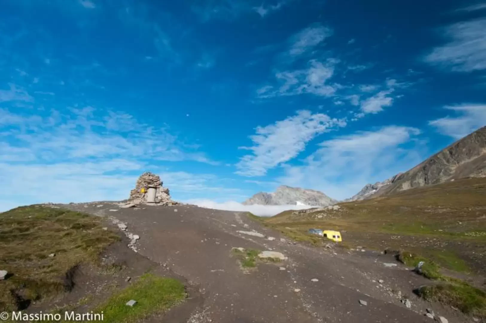
Rainetto Bivouac, from La Visaille
A hike for mountain purists in an austere but highly scenic environment. The arrival at the bivouac is rewarded by...
T3
13.66 Km
1388 m
Edited by:
Massimo Martini
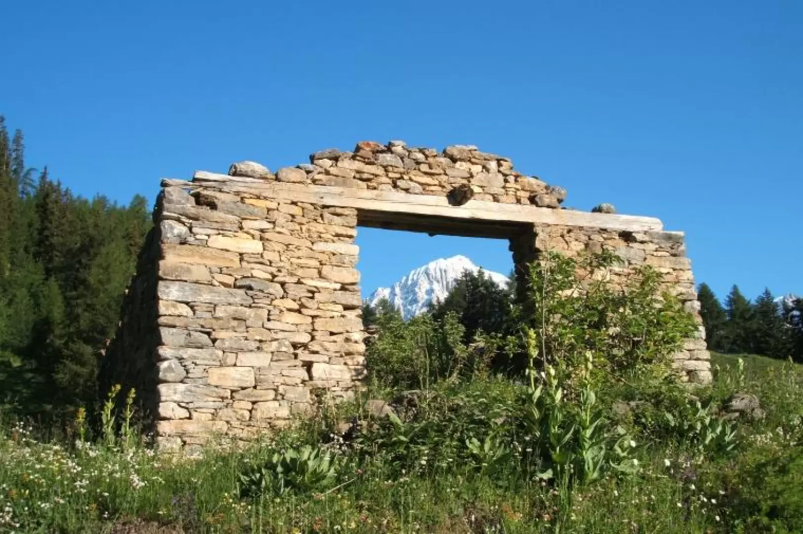
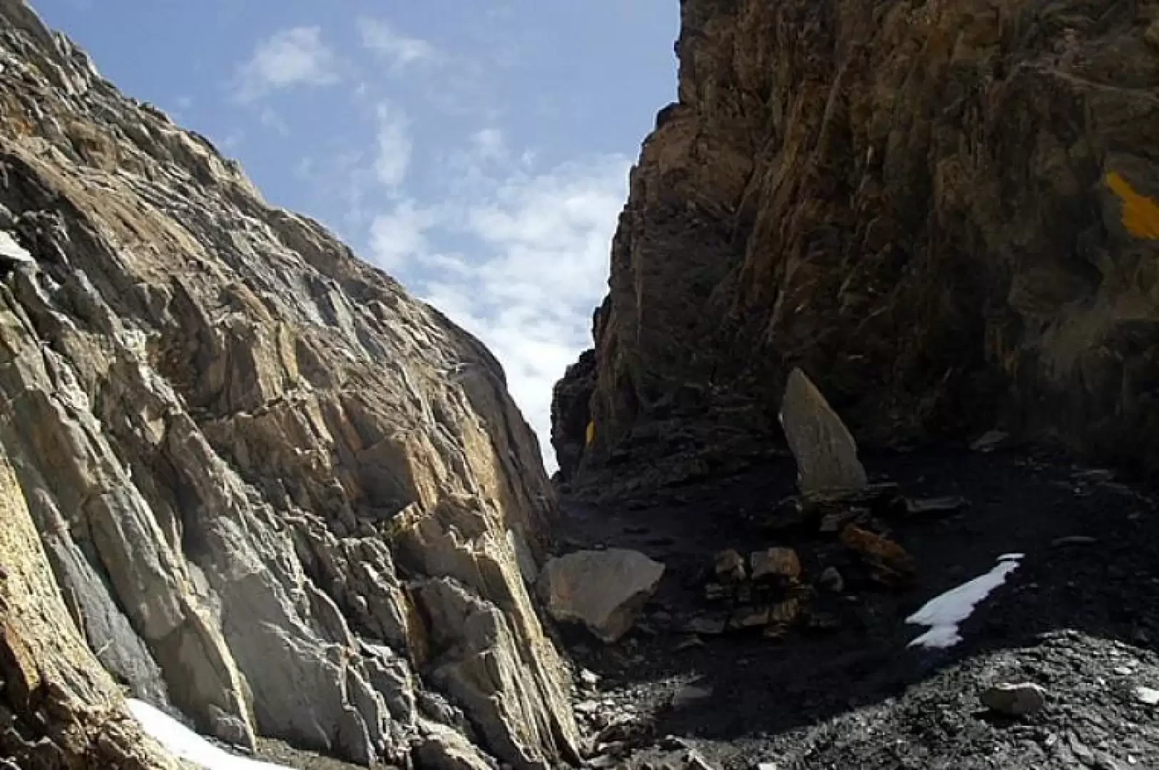
Col de la Seigne, from La Visaille
The Col de la Seigne is a pass connecting the Val Veny with the French valley of Chapieux. Used since...
T2
17.94 Km
876 m


Edited by:
Ivano Ruffoni
Col de Malatra, from the car park after Lavachey
The Col de Malatrà is a narrow opening connecting the Comba des Merdeux (from the patois "merze", "place of larches")...
T2
0.00 Km
1230 m



Edited by:
Vittorio Martini
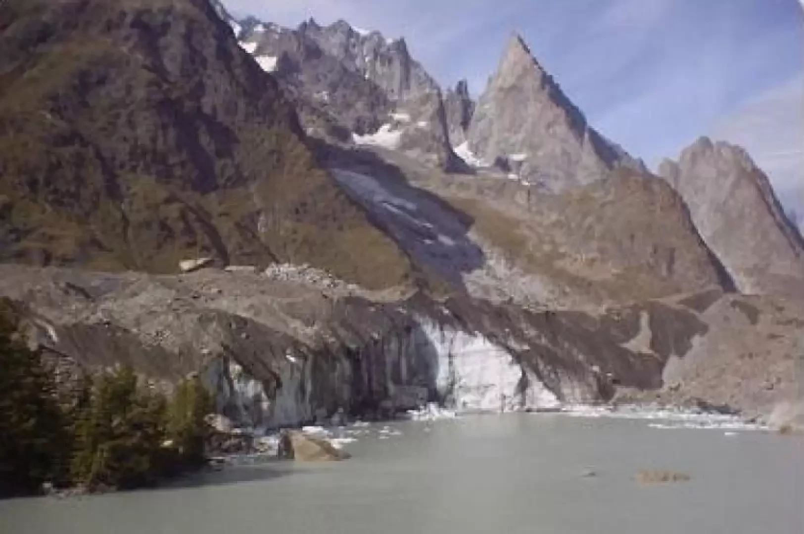
Lake Miage, from La Visaille
A beautiful hike in a truly extraordinary atmosphere: the view of the glacier towering above the lake is certainly worth...
T2
6.50 Km
282 m
Edited by:
Massimo Martini
Lavachey, from Planpincieux
Itinerario di fondovalle che risale la Val Ferret da Planpincieux fino al piccolo villaggio di Lavachey, con rientro sullo stesso...
T1
7.59 Km
0 m