Nearby
📍 Location Details
Latitude:
Longitude:
Accuracy:
Updated:
0 km
100 km
Path
km
-
km
m
m
Hike Type
Round trip
Circular
Crossing
Partially circular
Recommended Period
All
Hiking
Snowshoeing
Ski-mountaineering
Mountaineering
Via ferrata
Climbing
Mountain bike
Trekking
Active filters:
Tags: hiking,etirol
Showing 6 results
with active filters
Loading...

Edited by:
Gian Mario Navillod
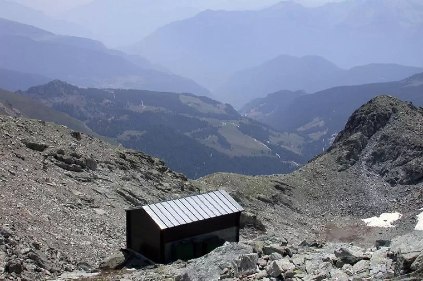
Rivolta Bivouac, from Etirol
A splendid hike in a wild corner of the Valtournenche. The ascent to the Rivolta Bivouac and the nearby Col...
T2
16.32 Km
1320 m

Edited by:
Massimo Martini
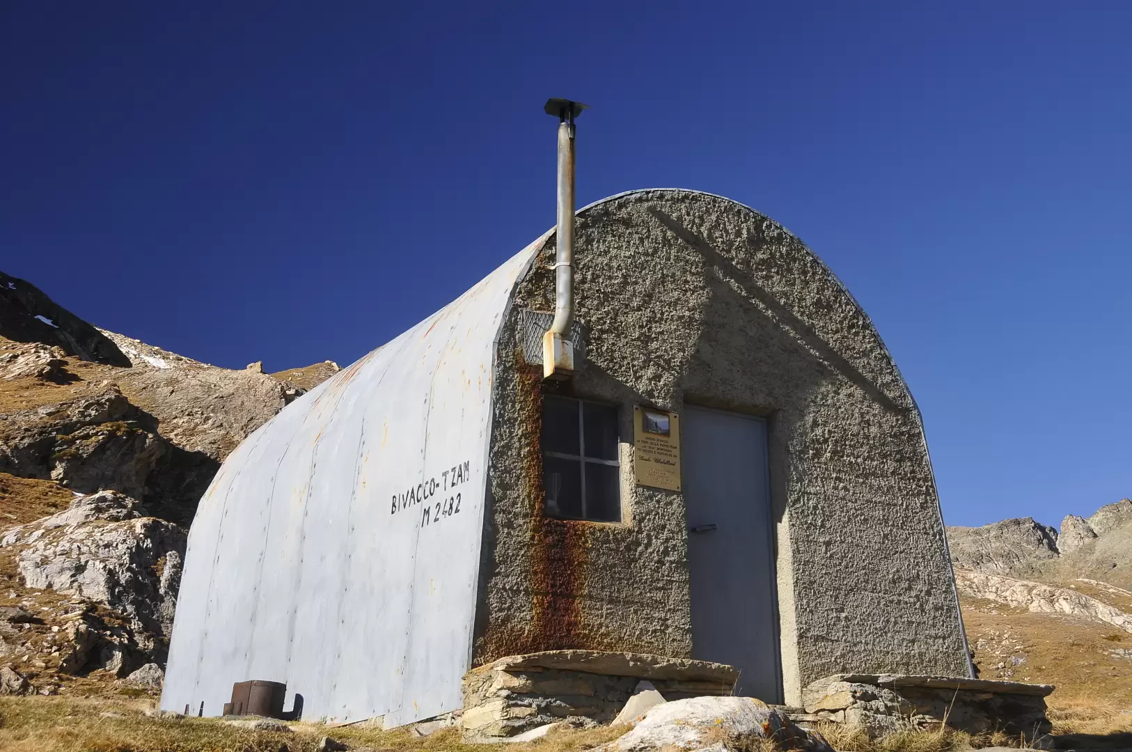
Tsan bivouac, from Etirol
The Tsan Bivouac (2,469 m) is located on the edge of the Comba de Chavacour, just above the glacial lake...
T2
14.90 Km
985 m
Edited by:
Massimo Martini
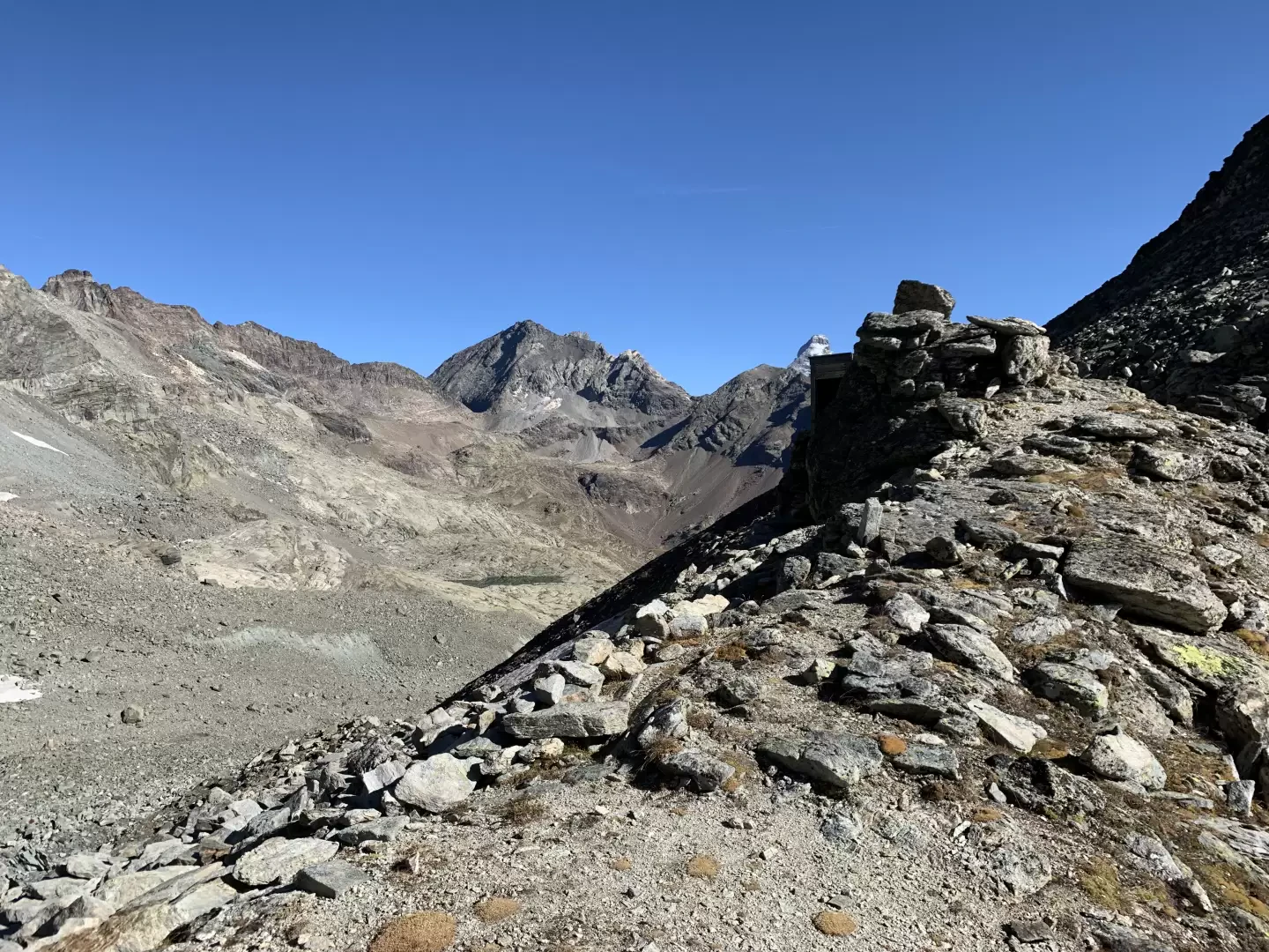
Col de Fort, from Etirol
Il Col de Fort (2.909m) è un valico poco frequentato che mette in comunicazione la Valtournenche con il vallone di...
T2
17.00 Km
0 m
Edited by:
Massimo Martini
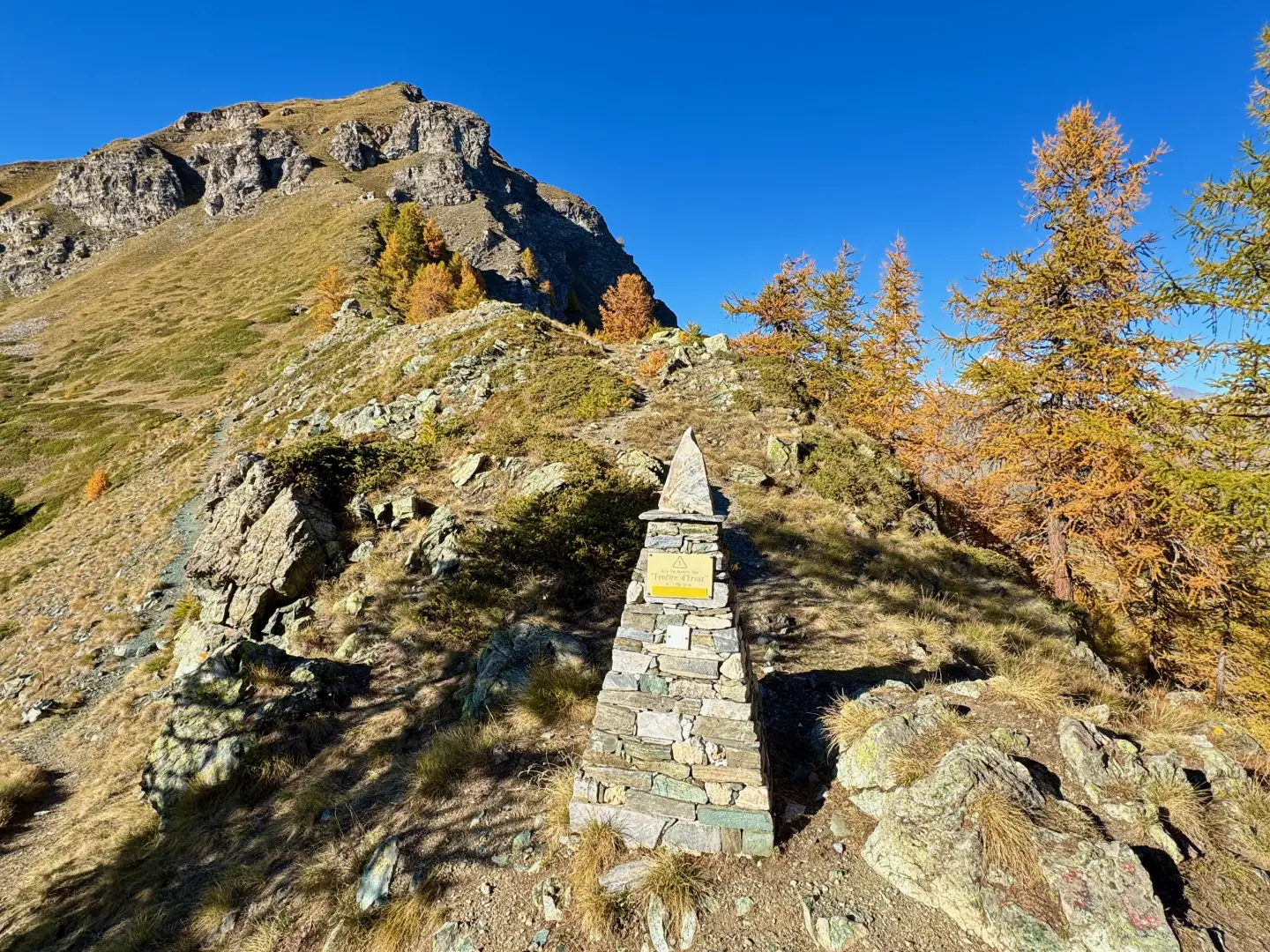
Fenêtre d'Ersaz, from Etirol
La Fenêtre d'Ersaz (2,290m) is one of the most interesting excursion destinations in Valtournenche, located in the municipality of Torgnon,...
T2
9.74 Km
692 m
Edited by:
Massimo Martini
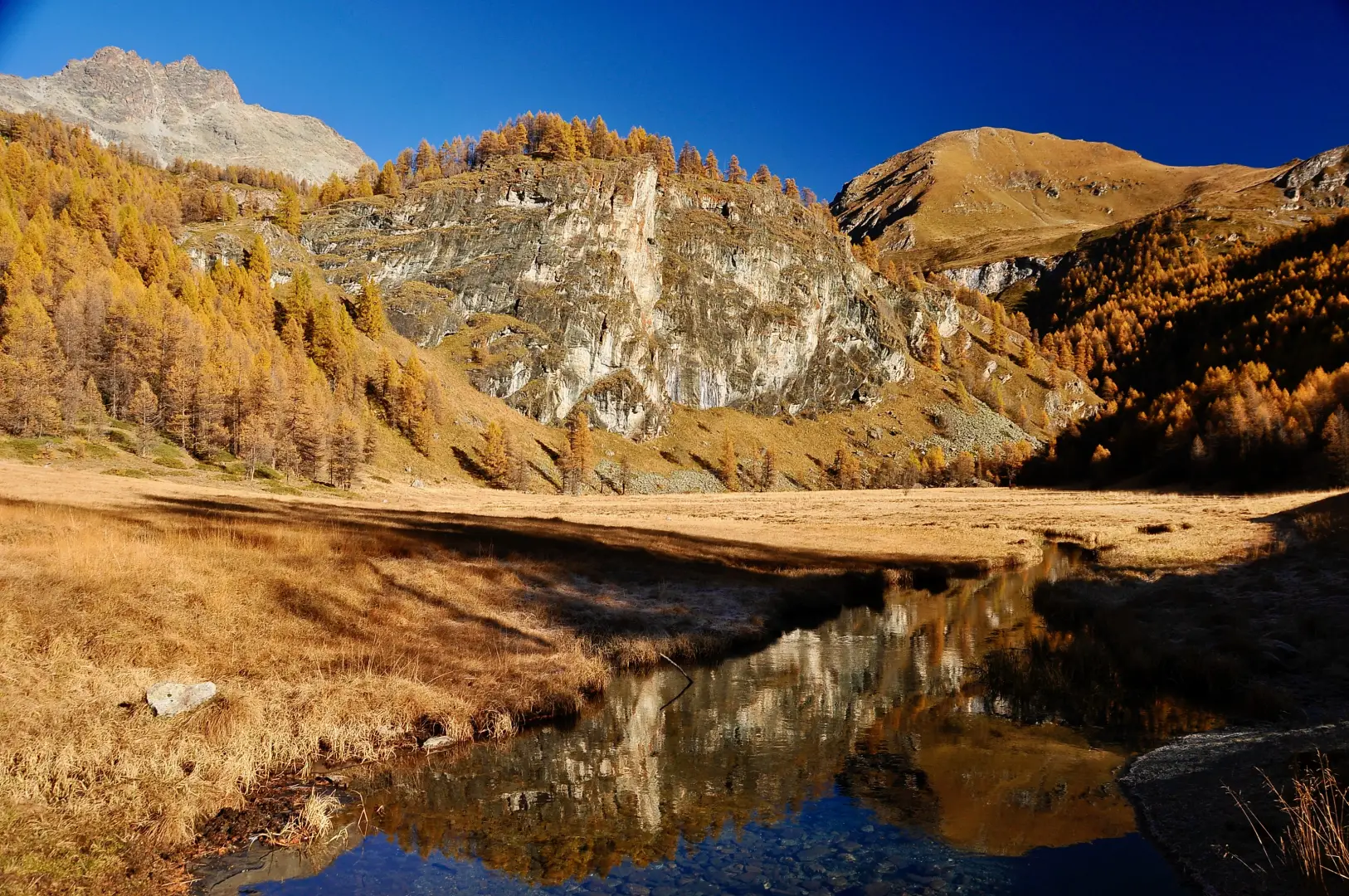
Loditor, from Etirol
The Lo Ditor (Loditor) pond is a wet plain at about 1,900m in the Chavacour valley, sculpted by the ancient...
T2
7.81 Km
372 m

Edited by:
Massimo Martini
Gilliarey Oratory, from Etirol
Peaceful walk through pastures and larch forests, ending at a scenic and extremely scenic spot.
T2
8.10 Km
585 m