Nearby
📍 Location Details
Latitude:
Longitude:
Accuracy:
Updated:
0 km
100 km
Path
km
-
km
m
m
Hike Type
Round trip
Circular
Crossing
Partially circular
Recommended Period
All
Hiking
Snowshoeing
Ski-mountaineering
Mountaineering
Via ferrata
Climbing
Mountain bike
Trekking
Active filters:
Tags: hiking,france
Showing 18 results
with active filters
Loading...

Edited by:
Maurizio Bergamini
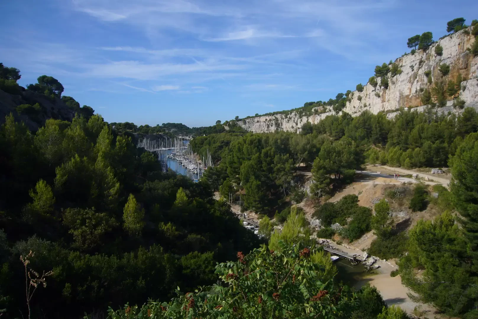
Calanque d'En Vau, from Cassis
How to get to one of the 100 most beautiful beaches in the world. A splendid walk through a protected...
T2
5.00 Km
180 m


Edited by:
Maria Grazia Schiapparelli
Chemin des Ocres
The village of Roussillon has a thousand inhabitants, and is situated at 343m, in the centre of one of the...
T2
0.00 Km
100 m


Edited by:
PatriceBerard
Gardiole de l'Alp
Ce circuit offre des vues magnifiques en particulier sur toute la partie du parcours qui s'effectue sur les crêtes. .
T2
0.00 Km
935 m

Edited by:
Franco Rossi
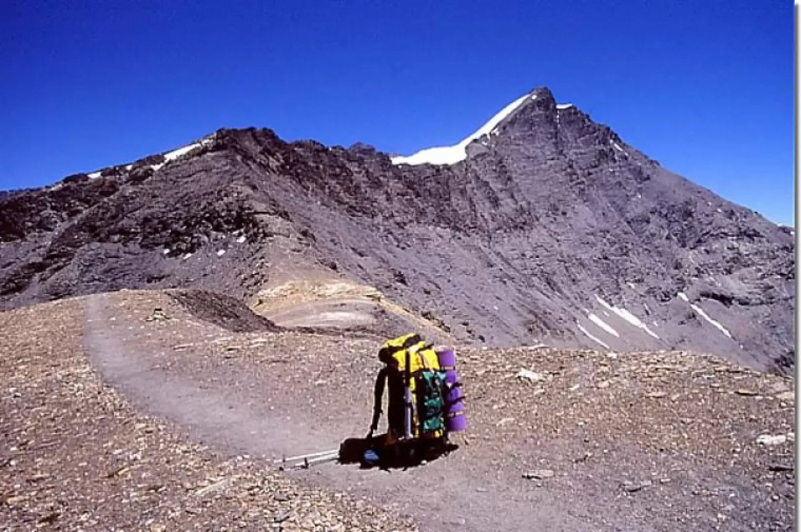
Grande Sassière, from Saut
Maybe the highest peak in the Alps that can be reached, in the most favourable period, on footpaths (EE difficulty)!...
T4
0.00 Km
1471 m


Edited by:
Nino Malavenda
Lac d'Arsine, from Pas de l'Âne
One of the most beautiful landscapes in the Ecrins Park, a truly enchanting place, particularly in late spring. During our...
T2
15.00 Km
850 m
Edited by:
Maurizio Bergamini
Lac Sans Fond
Semplice passeggiata che si svolge appena oltre il confine francese posto al colle del Piccolo San Bernardo. Si raggiunge un...
T2
7.13 Km
357 m

Edited by:
Maurizio Bergamini
The Frioul Islands
A few minutes by boat from Marseille's Vieux-Port takes you to the islands of the Frioul mini-archipelago (If, Pomègues and...
T2
0.00 Km
50 m


Edited by:
fabio_olmo
Mont Chaberton
Mount Chaberton is entirely on French territory although it is an ultra popular destination for Italians. At the top are...
T2
0.00 Km
1250 m

Edited by:
Massimo Martini
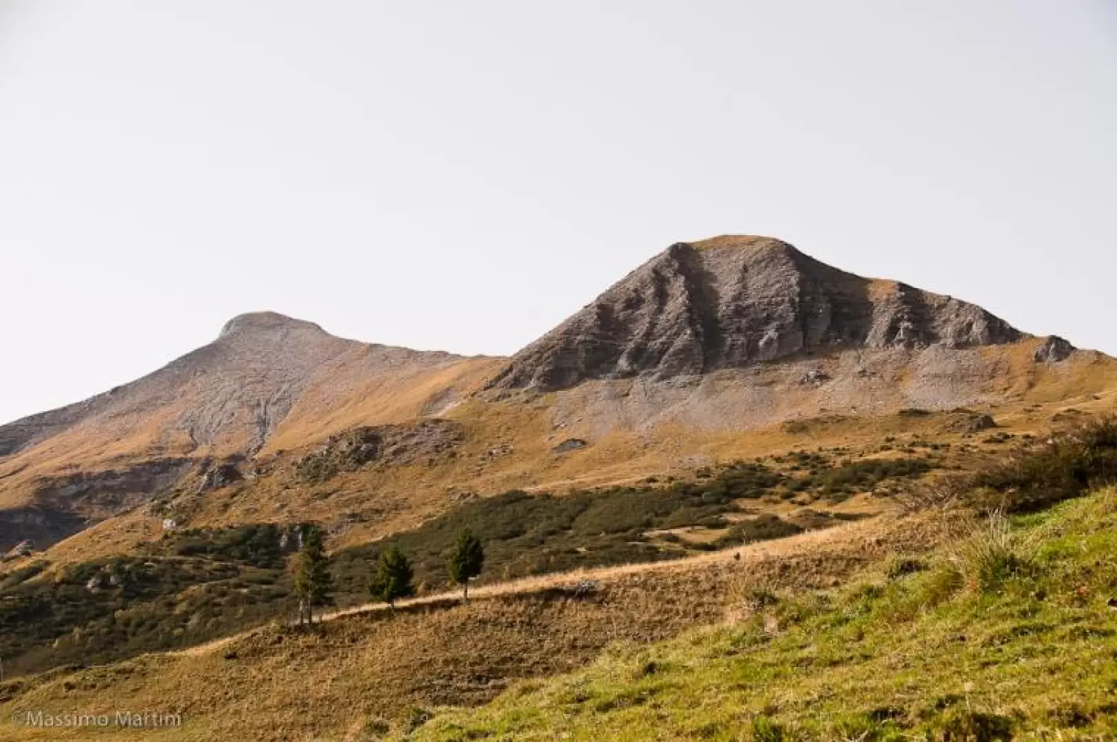
Mont Joly, from Plateau de la Croix
The ascent to Mont Joly affords remarkable panoramic views of the south-western side of the Mont Blanc Massif, with privileged...
T2
12.41 Km
1071 m

Edited by:
PatriceBerard
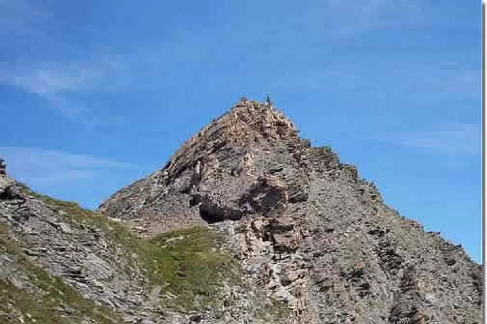
Pic de Foréant
Magnificent ridge hike, mostly above 3000 m. It is little frequented as it is off the usual routes..
T2
0.00 Km
700 m