Nearby
📍 Location Details
Latitude:
Longitude:
Accuracy:
Updated:
0 km
100 km
Path
km
-
km
m
m
Hike Type
Round trip
Circular
Crossing
Partially circular
Recommended Period
All
Hiking
Snowshoeing
Ski-mountaineering
Mountaineering
Via ferrata
Climbing
Mountain bike
Trekking
Active filters:
Tags: hiking,summits,valtournenche-valley
Showing 22 results
with active filters
Loading...
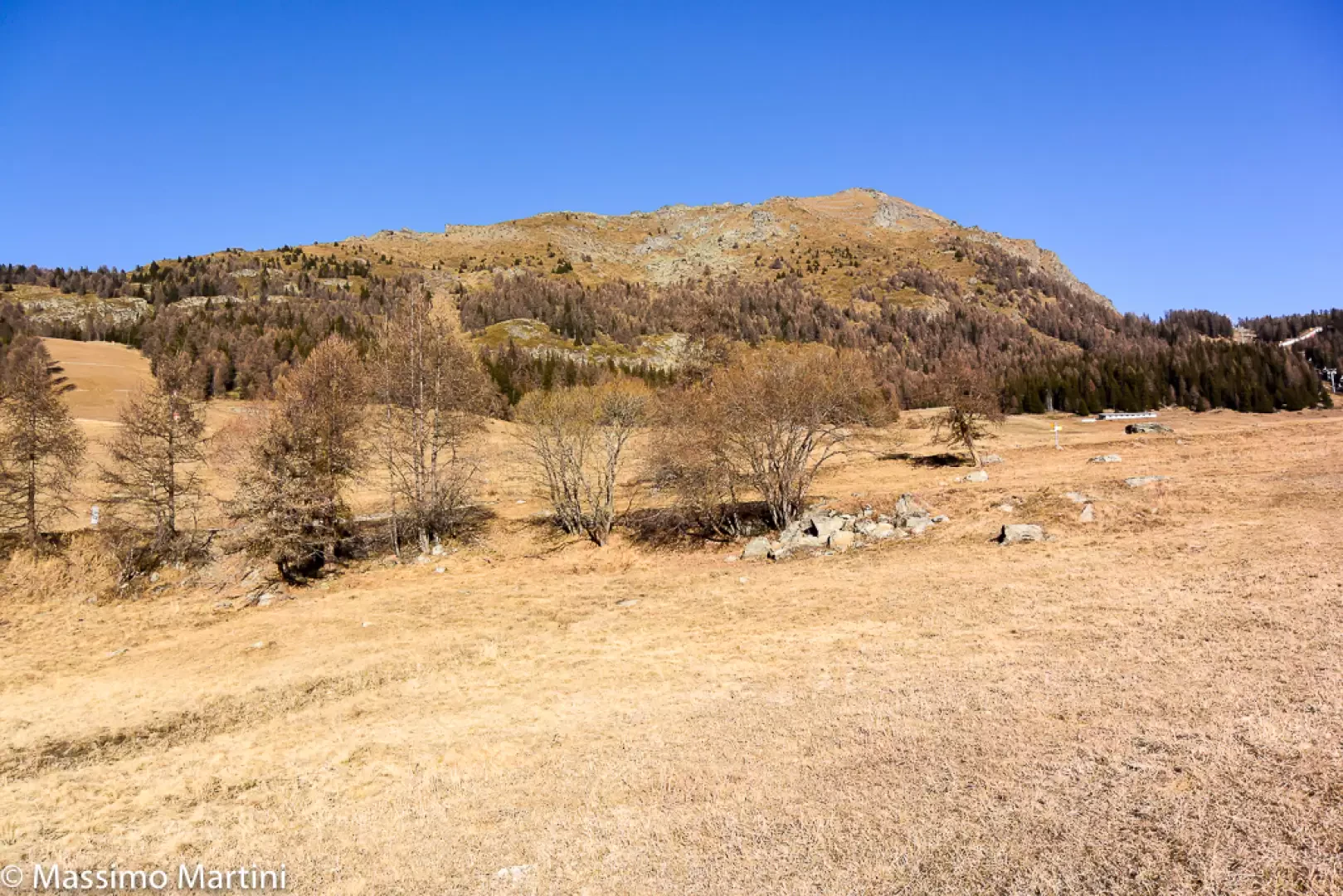

Edited by:
Massimo Martini
Mont Méabé secondary summit, from the Golette car park
The secondary summit of Mont Méabé offers a superb panoramic view over the central Valtournenche valley. The route is relatively...
T2
6.40 Km
742 m
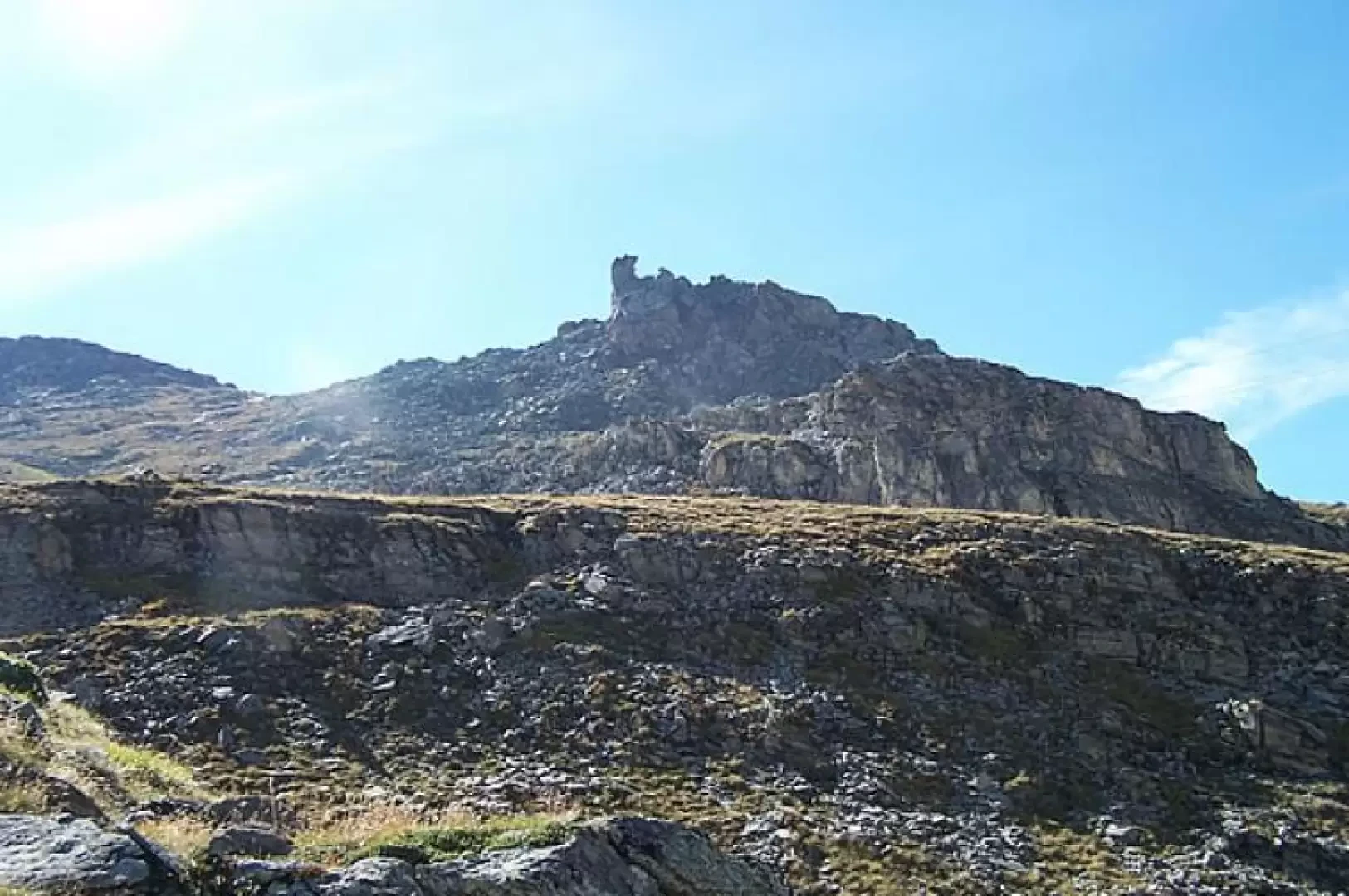

Edited by:
Giancarlo Beretta
Bec du Pio Merlo, from Cielo Alto
Short hike that leads to a privileged vantage point for those who want to enjoy the wide panorama of the...
T2
4.00 Km
520 m
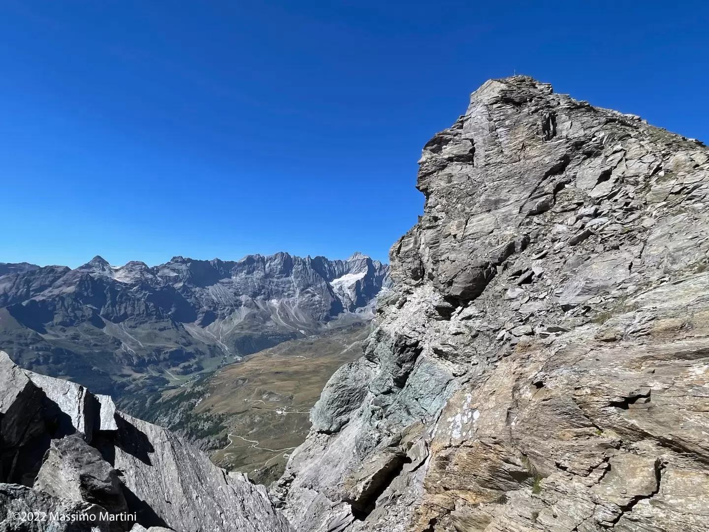
Edited by:
Massimo Martini
Becca d'Aran, from the car park at La Barma
Seen from Valtournenche, the Becca d’Aran appears as a forbidding rocky bastion that gives no hint of an easy climb....
T3
8.00 Km
922 m
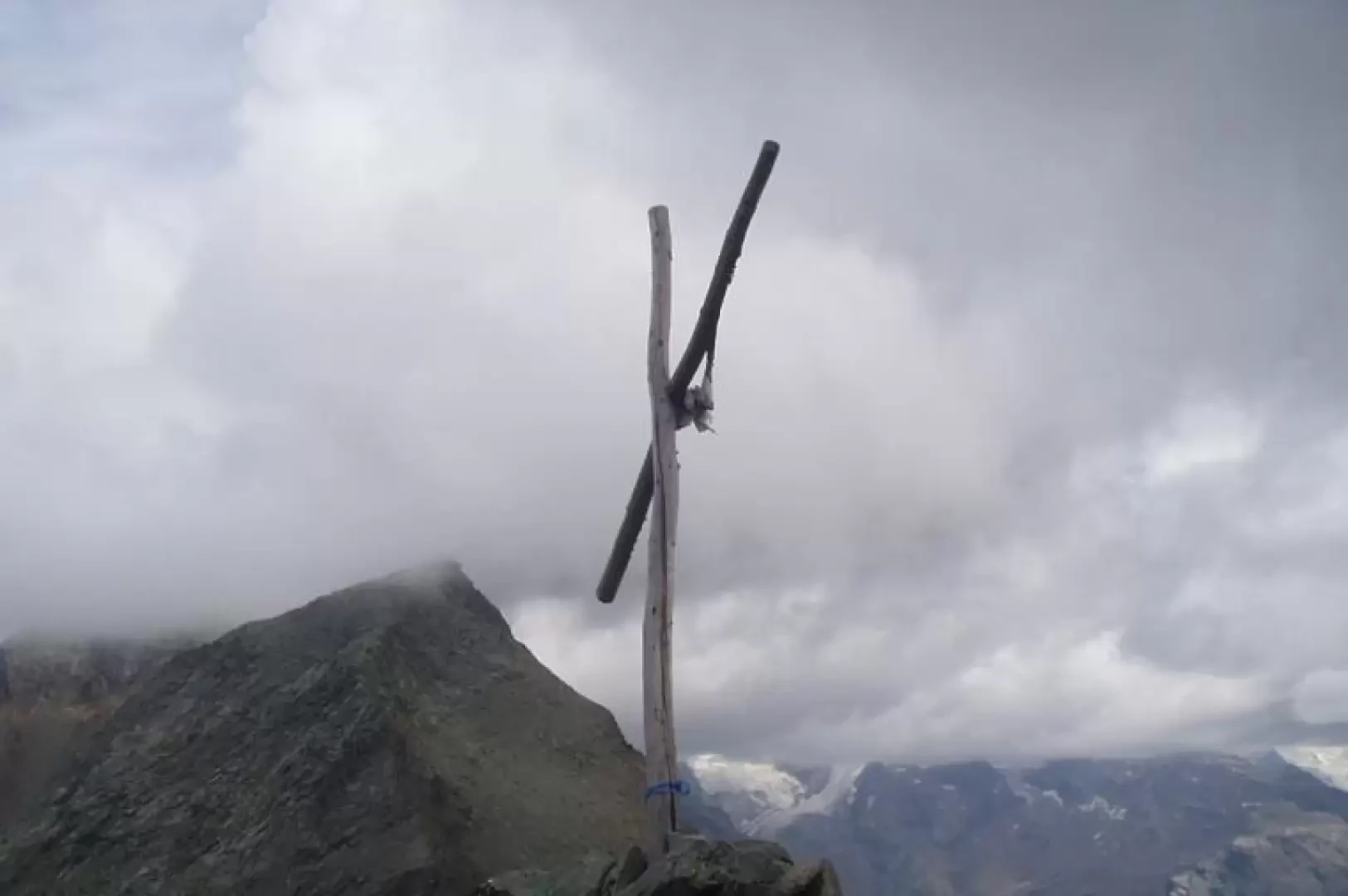

Edited by:
Ivano Ruffoni
Becca Trécare, from the car park at La Barma
La Becca Trecaré separates the Petit Tournalin from the Bec de Nannaz. It is an excellent vantage point over the...
T3
11.33 Km
1008 m


Edited by:
Massimo Martini
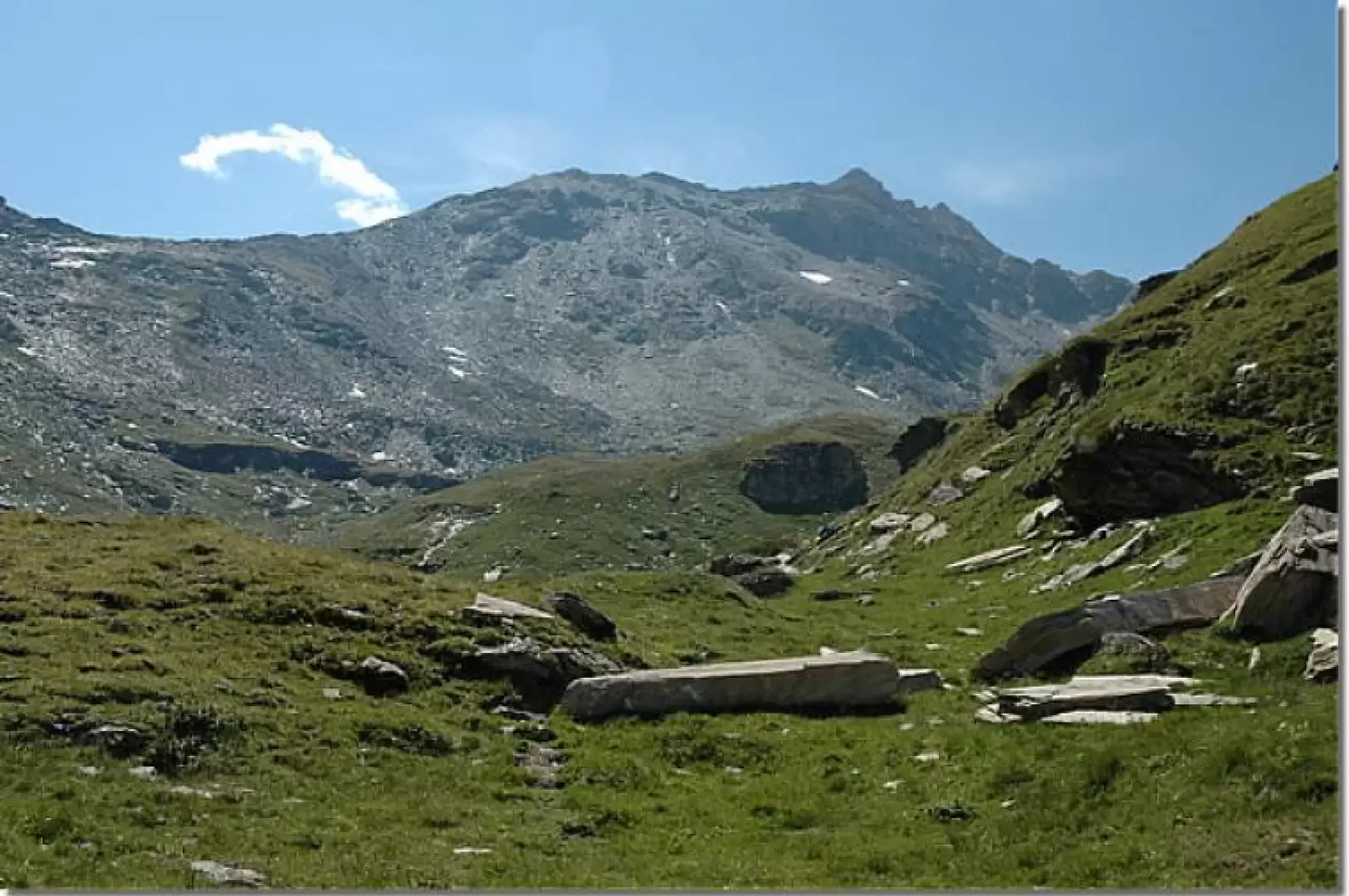
Cima Bianca, from Grand Moulin
Itinerario ad andata e ritorno che sale dal fondovalle di Antey-Saint-Andre' (1.079m) alla Cima Bianca (2.960m), vetta piu' elevata della...
T2
24.56 Km
0 m
Edited by:
Massimo Martini
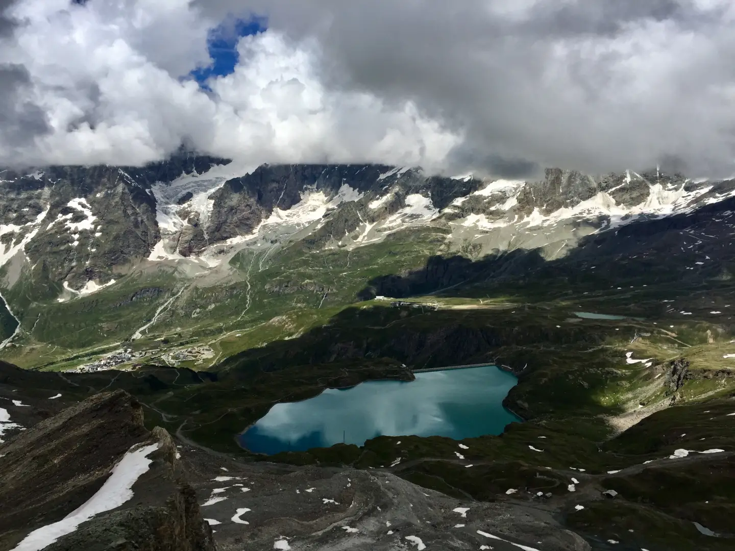
Gran Sometta, from Euillaz
A round-trip hike to Gran Sometta (3,116 m), an isolated peak situated between Colle Inferiore and Colle Superiore delle Cime...
T2
0.00 Km
m

Edited by:
Gian Mario Navillod
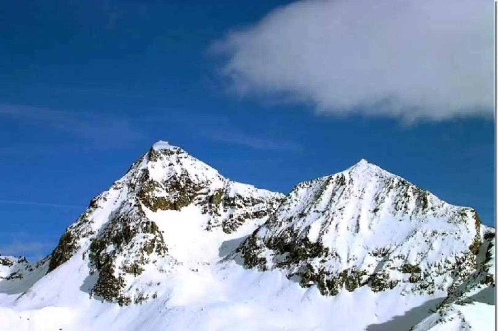
Grand Tournalin, from La Barma car park
This is a demanding route both in terms of the total height difference and the delicate and exposed passage below...
T3
0.00 Km
1347 m
Edited by:
Massimo Martini
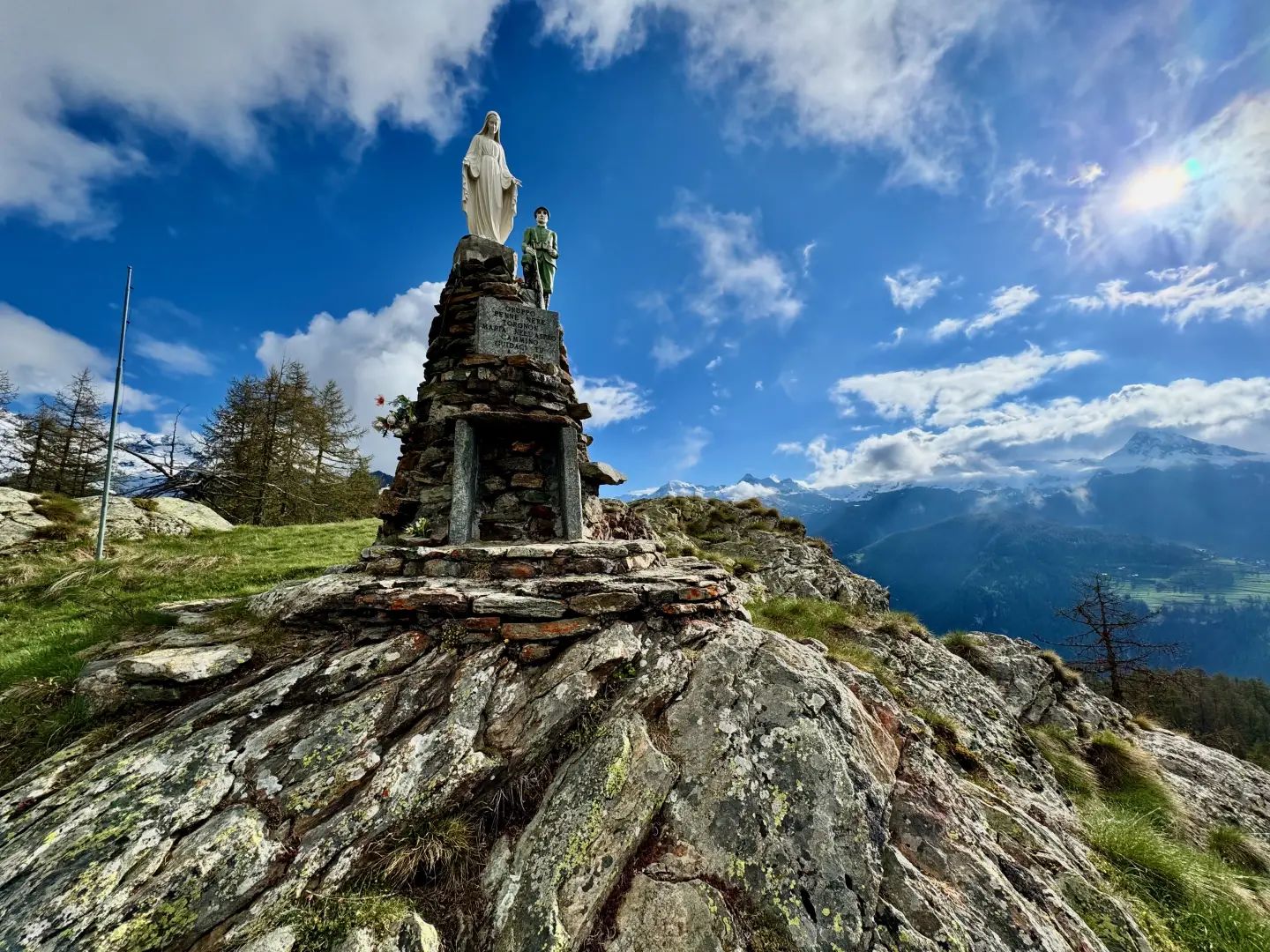
Mont Châtelard, from Mognod
A peaceful path through pastures and larch forests, with wide views of the surrounding mountains, characterises this hike in the...
T2
6.47 Km
284 m

Edited by:
Massimo Martini
Mont Pancherot, from Les Perrères
On the orographic right-hand side of the Marmore torrent, an itinerary develops that joins Valtournenche with the Cignana valley via...
T2
10.46 Km
803 m
Edited by:
Massimo Martini
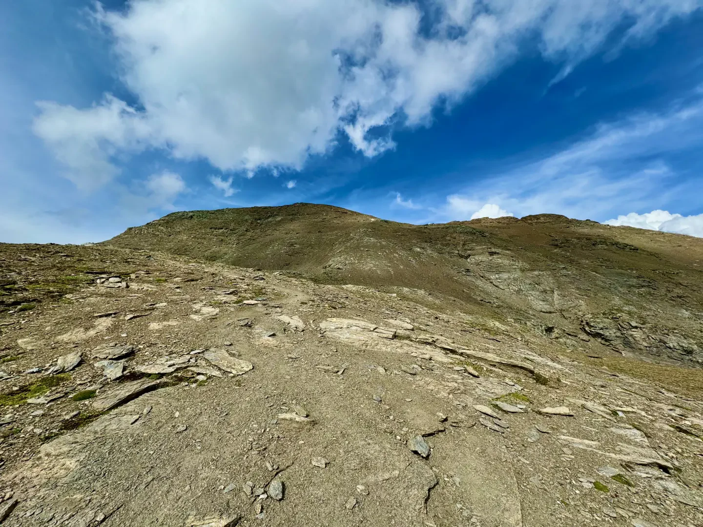
South Point Mont Roisetta, from La Barma
Splendid excursion to one of the highest excursion peaks in Valtournenche. From the summit, you can fully appreciate the view...
T2
9.80 Km
1301 m
Edited by:
Massimo Martini
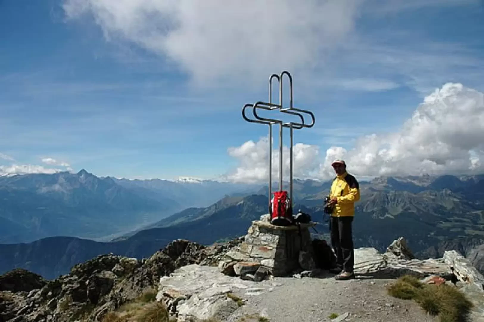
Mont Tantané, from the Artaz car park
Interesting loop on the slopes of Mont Tantané: the proposed route is configured as a loop and provides a beautiful...
T2
9.50 Km
1019 m