Baraing Castle, ring from Piazza IV Novembre to Pont-Saint-Martin


Edited by:
Massimo Martini
Updated at: 02/02/2026
Access
Road navigation
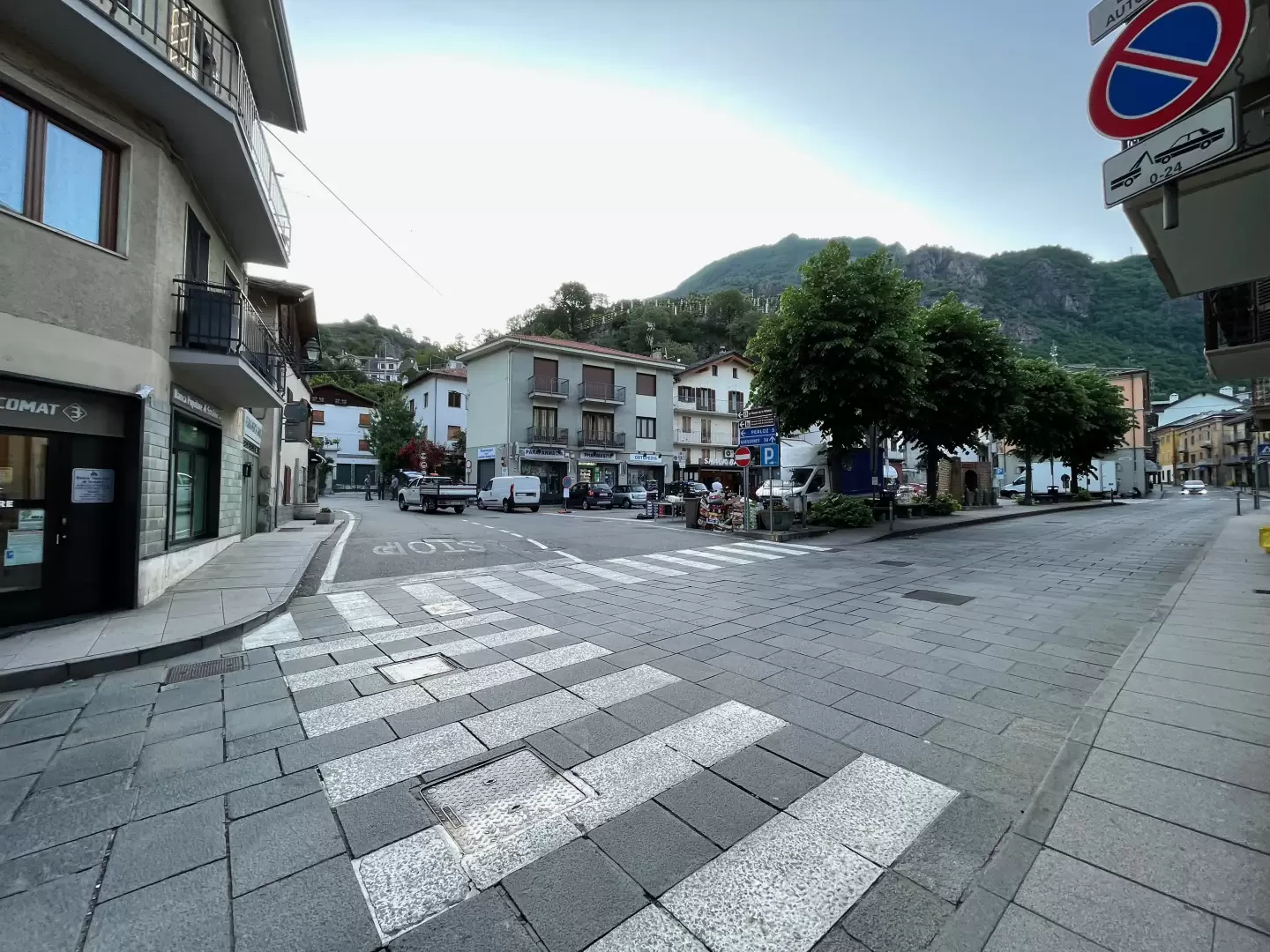
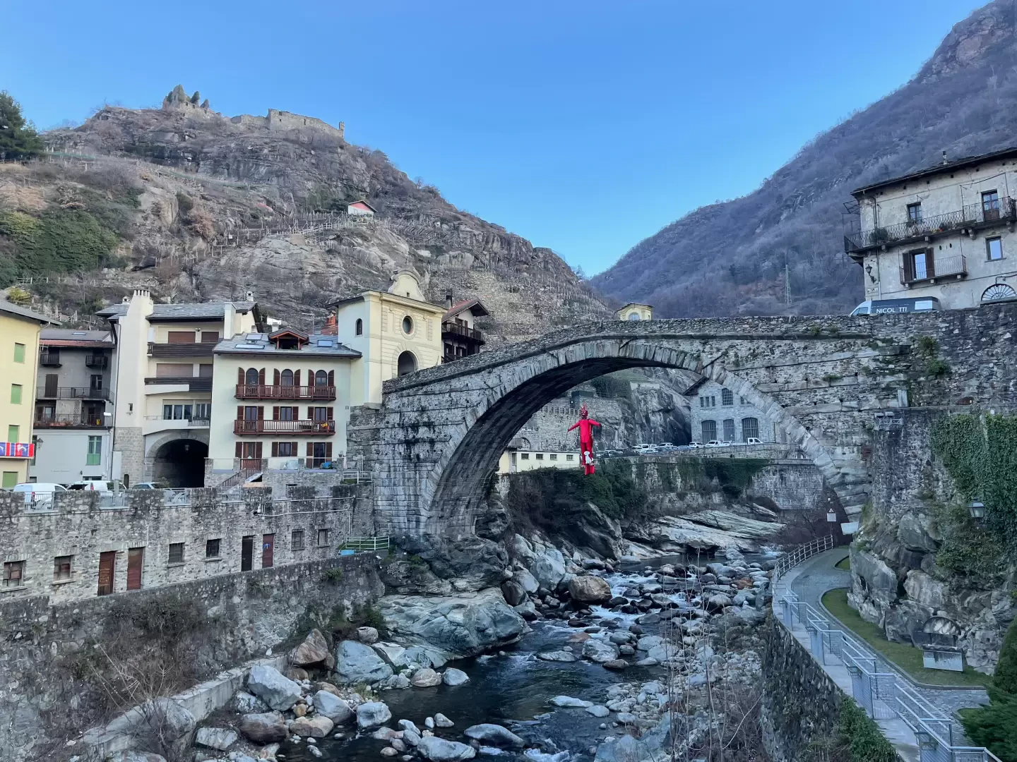
At the motorway junction of Pont-Saint-Martin, proceed for approximately 150m (0.15km) and turn right into the first roundabout. Take the second exit and continue for approximately 300m (0.45km) to the second roundabout. At the roundabout, take the third exit and enter the village of Pont-Saint-Martin. Continue for approximately 400m (0.85km), then turn right onto the regional road in the direction of Valle del Lys. Follow for about 500m (1.35km), ignoring the diversions to the right of the regional road and continue straight on for about 100m (1.45km). Cross the Lys stream at the Ponte Romano bridge and reach Piazza IV Novembre, the end of the road navigation.
Description of the car park
In Piazza IV Novembre there is a car park 🅿️ partly paid (blue zone) and partly regulated by a 60-minute disc. The car park is located close to the start of the excursion, near the Roman Bridge. There are additional free parking spaces in the immediate vicinity.
Access by public transport
The starting point can be reached by public transport.
🚌 Pont-Saint-Martin is served by regular buses of the company Vita Group, Aosta - Pont-Saint-Martin line, with a stop near Piazza IV Novembre.
🚊 The town is also served by the Turin - Aosta railway line of Trenitalia, with a station a short distance from the departure point. [from 2027]
Distance and travel time
🕒 Travel time: 3 minutes
📏 Distance: 1.4km
GPS navigation
📍 How to get there with Google Maps
📍 How to get there with Apple Maps
ℹ️ Important note
The indications provided have been verified on the date of the survey of the itinerary. We recommend checking for possible changes in the route or road conditions before departure. Please consult Google Maps or Apple Maps for the latest information.
.Introduction
The urban itinerary to discover Pont-Saint-Martin. The short route allows the hiker to explore the town centre of the municipality defined as the Gateway to the Valley, being the first one encountered on entering the Valle d'Aosta. The route is not difficult and leads the hiker along streets and paths to discover some important cultural assets such as the Baraing Castle and the Roman Bridge, and other lesser-known ones, such as the Church of the Precious Lord's Blood and Our Lady of the Rosary and the characteristic St. James' Steps.
Description
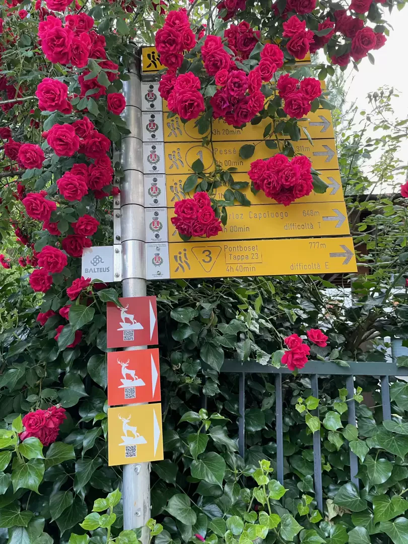
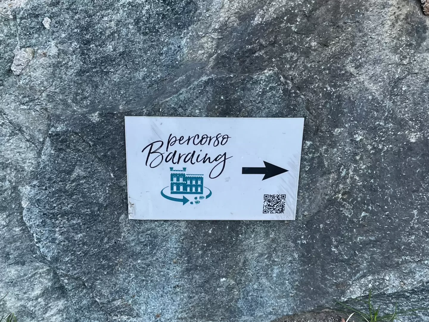
0h00' From Piazza IV Novembre proceed along Via E. Chanoux in the direction of Aosta. Go through the centre of Pont-Saint-Martin until you reach the tree-lined Piazza 1° Maggio. At the end of the square, on the right, you will come across a signpost with indications of the themed route you are going to follow [QRcode].
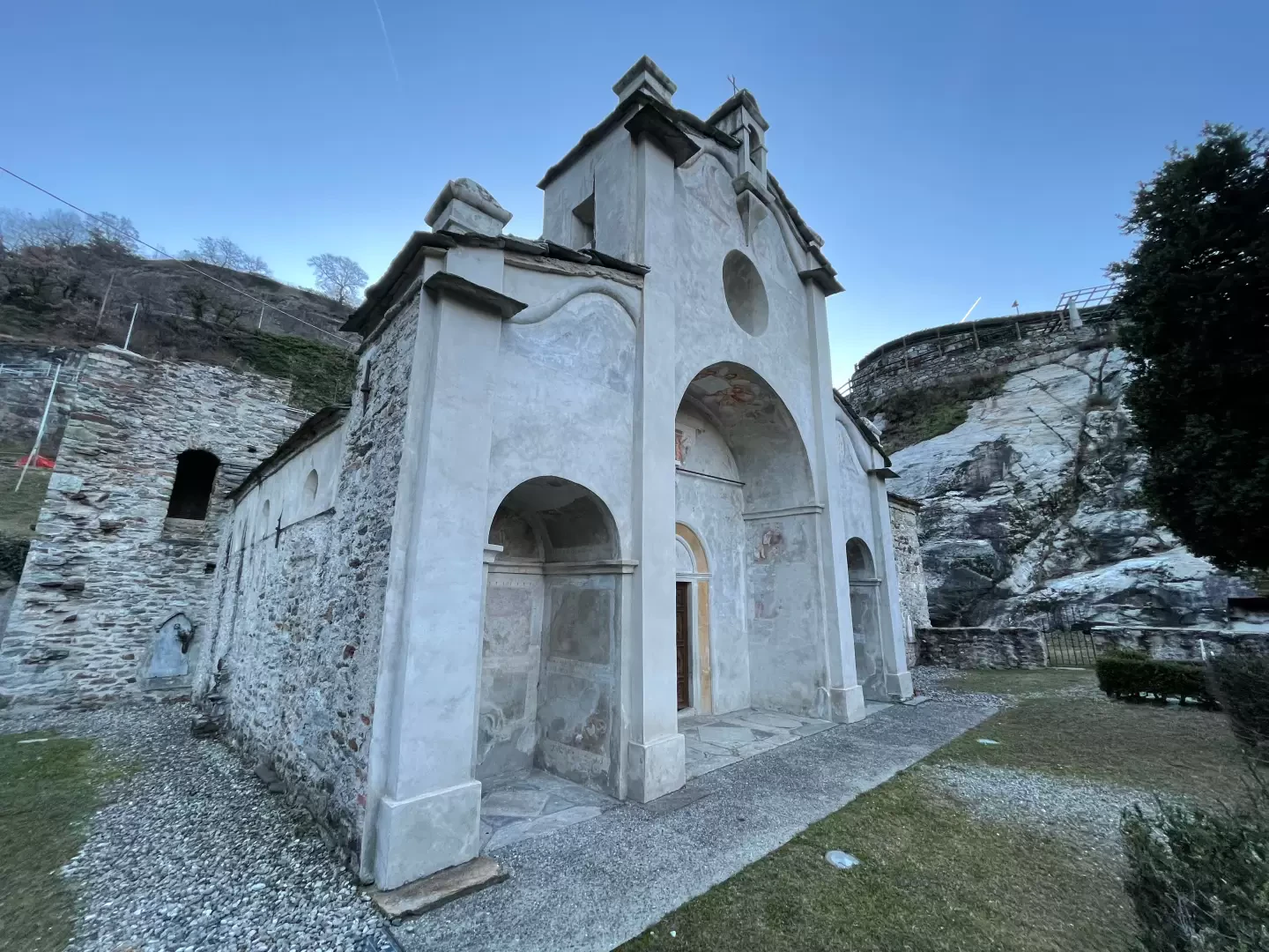
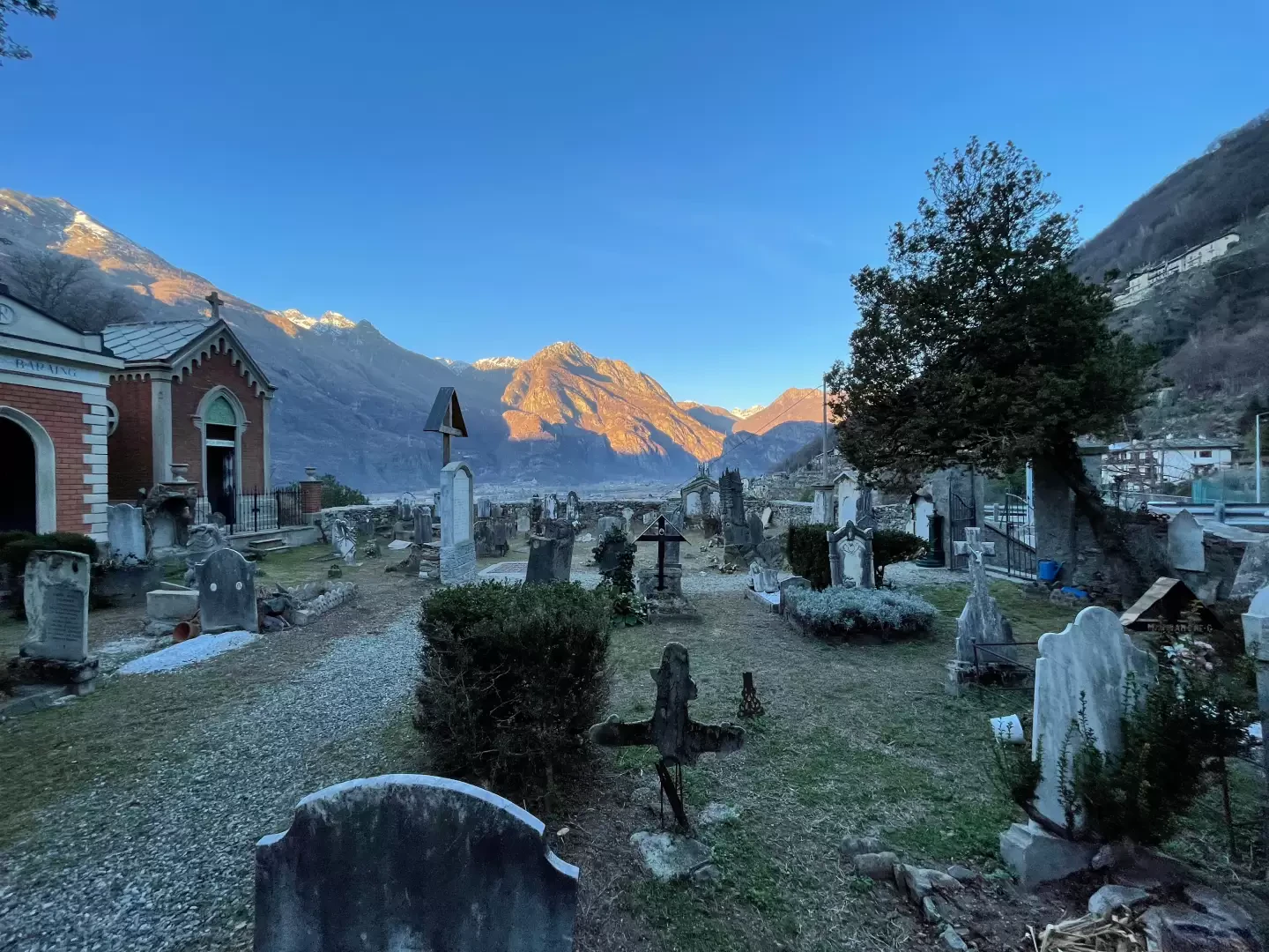
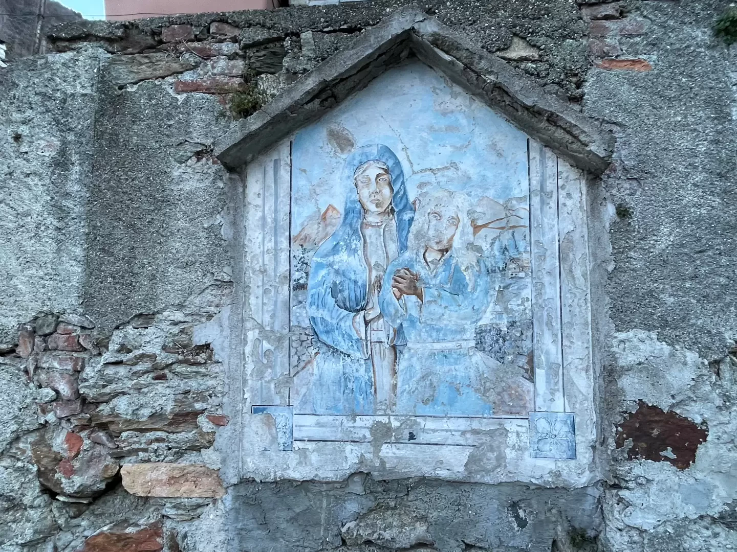
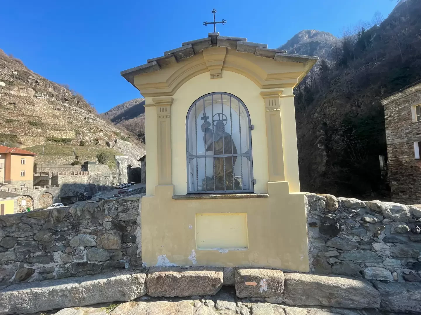
0h05' Go up the paved mule track that allows you to quickly ascend the promontory on which the Baraing Castle was built. After a few minutes, on the right, you will come across the characteristic cemetery in which the Church of the Precious Blood of the Lord and Our Lady of the Rosary was built. The mule track continues to climb and, after skirting a votive shrine painted on the wall, you reach the regional road to Perloz.
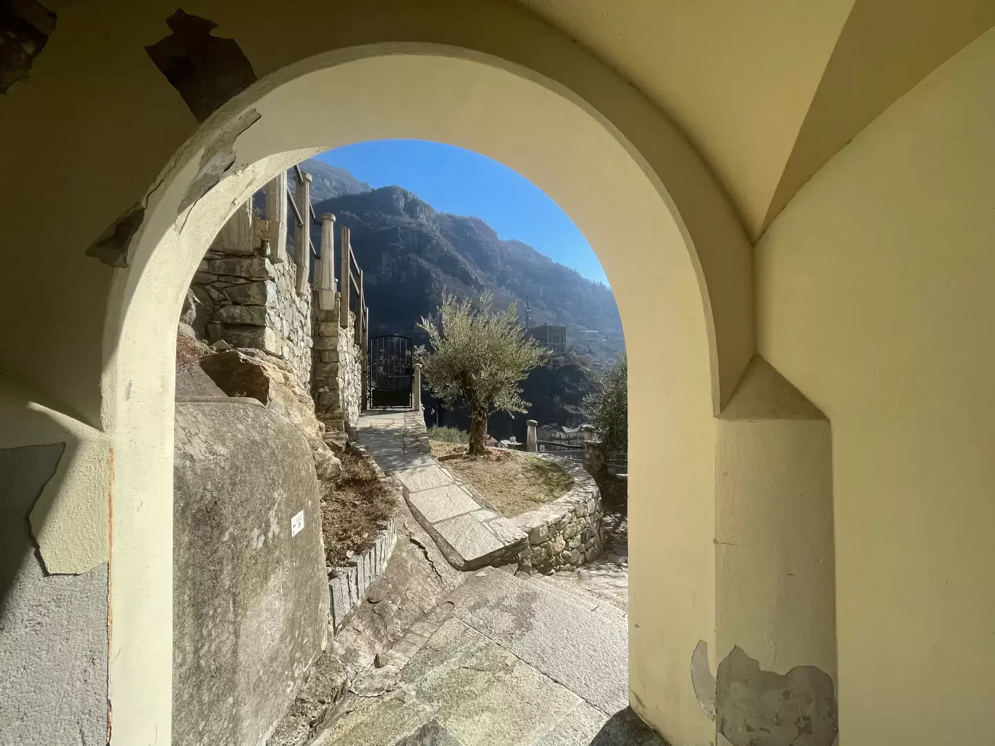
0h10' Turn right and walk along the road for a few metres before turning onto the downhill road that leads to the car park 🅿️. Enter the small garden in front of the castle, with beautiful views of Pont-Saint-Martin, and finally reach Baraing Castle, now the headquarters of the Unité des Communes valdôtaines Mont-Rose.
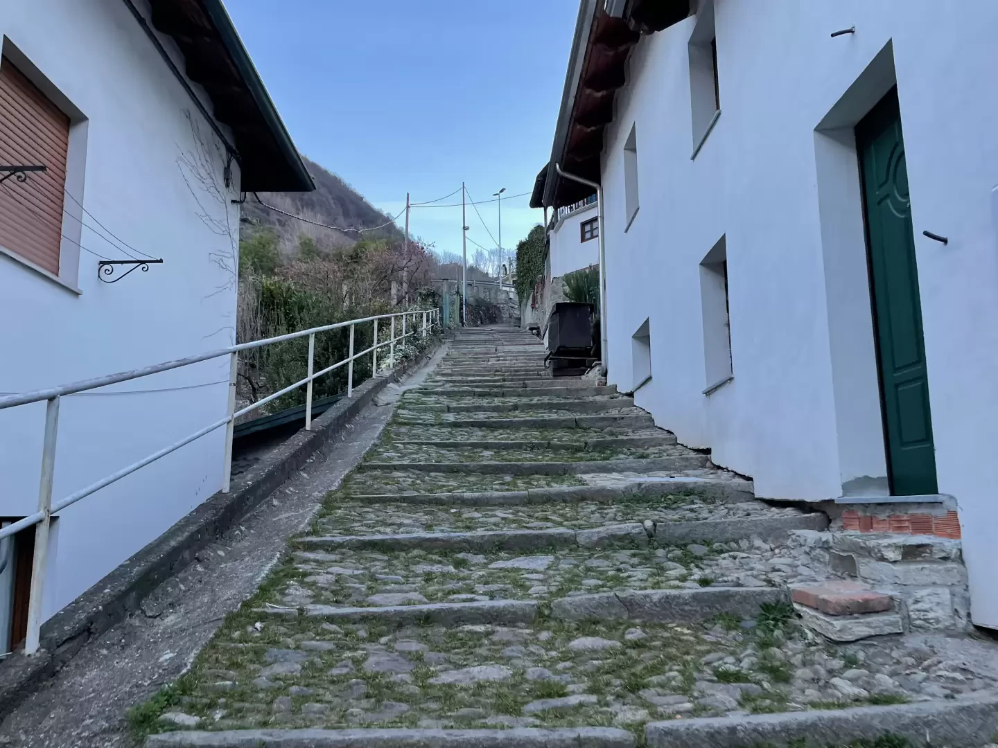
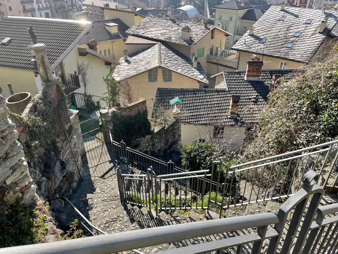
0h12' At a signpost, you will find the path to follow to descend towards the village along the characteristic "Steps of St James" that descend the rocky promontory on which the castle was built, amidst olive trees.
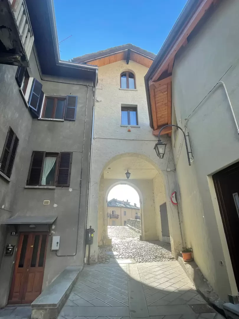
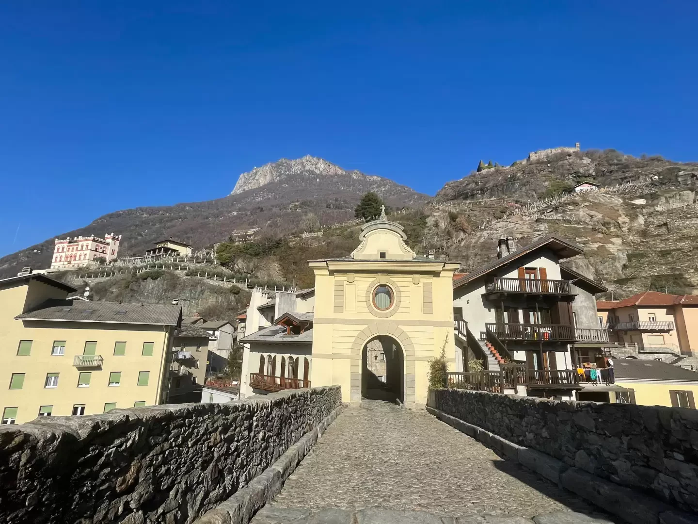
0h15' At the end of the steps, turn right onto Via Roma, going slightly uphill until you reach an arcade that anticipates the passage over the characteristic Roman bridge. Having crossed the Lys stream on the particular span of the bridge, walk along the paved road until it rejoins Via E. Chanoux and, after turning right, towards the starting point 0h20' .
Points of Interest
- Roman Bridge of Pont-Saint-Martin
- Church of the Precious Blood of Our Lord and Our Lady of the Rosary
- Castle Baraing
Collections
Galleria fotografica