Triatel, from Mognod


Edited by:
Massimo Martini
Updated at: 16/03/2026
Access
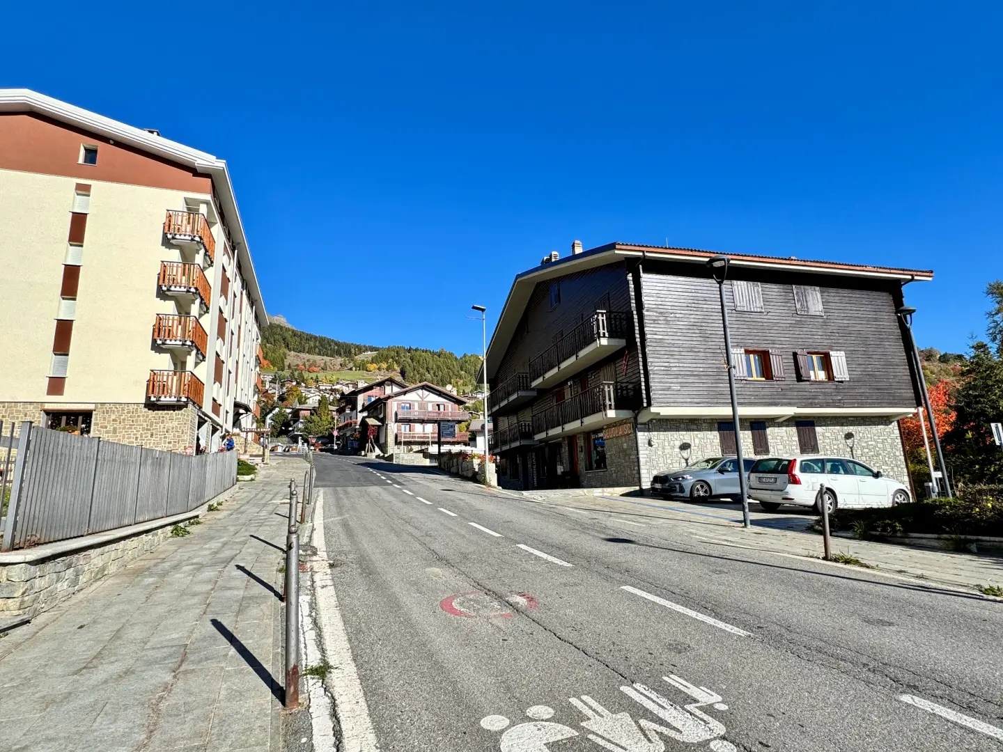
Leave the motorway junction at Châtillon-Saint-Vincent, turn left and continue for approximately 300 metres to the roundabout. At the roundabout, take the third exit onto Via Émile Chanoux. Follow this road for 600 metres, passing through the historic centre of Châtillon, then turn slightly right into Via Menabreaz. Continue for 450 metres to the roundabout with the "Matterhorn" monument in the centre, and take the second exit to join the regional road in the direction of Valtournenche. Continue on for 7.8 kilometres until Antey-Saint-André, then turn left and take the regional road to Torgnon. Drive up the valley for 6.4 kilometres until you reach the village of Mognod. At the entrance to the village, turn left and take the regional road [SR42]. After about 100 metres, turn right to access the free car park (🅿️) located near the ski resort and the main services.
The resort is served by regular buses operated by the Arriva company, with departures from Châtillon and an average journey time of about 35 minutes. Trips are regular between 6 a.m. and 7 p.m. Timetables and up-to-date details can be found on the regional public transport portal: aosta.arriva.it
Distance and travel time
🕒 Travel time: 24 minutes
📏 Distance: 16.6 kilometres
GPS navigation
📍 How to get there with Google Maps
📍 How to get there with Apple Maps
ℹ️ Important note
The directions given were verified on the date of the route survey. Before departure, it is advisable to check for any changes to the route. For up-to-date and detailed directions, we recommend the use of Google Maps or Apple Maps.
Introduction
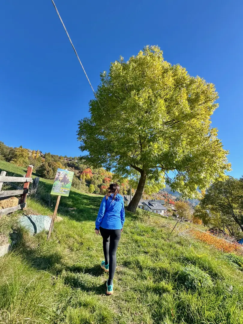
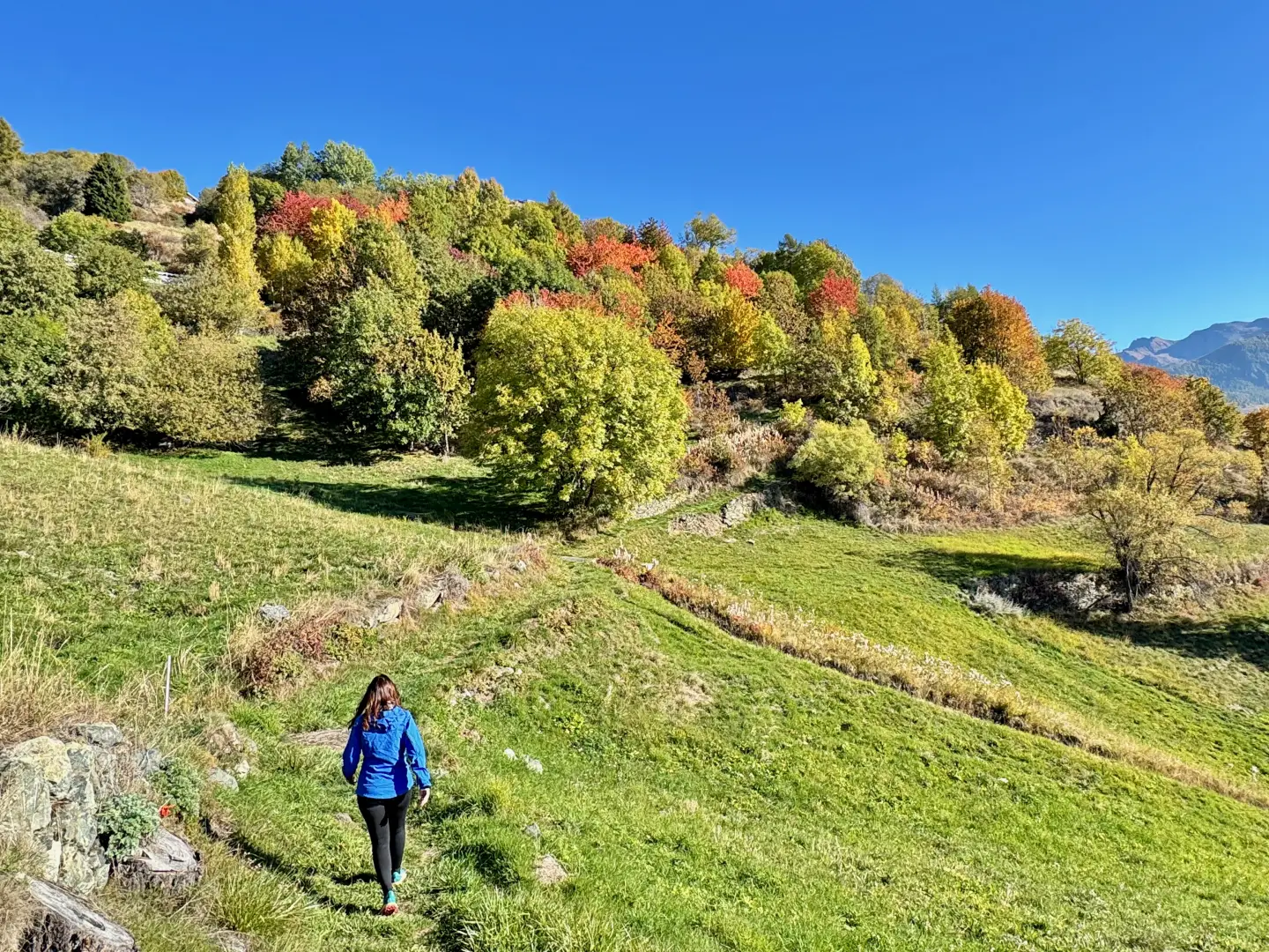
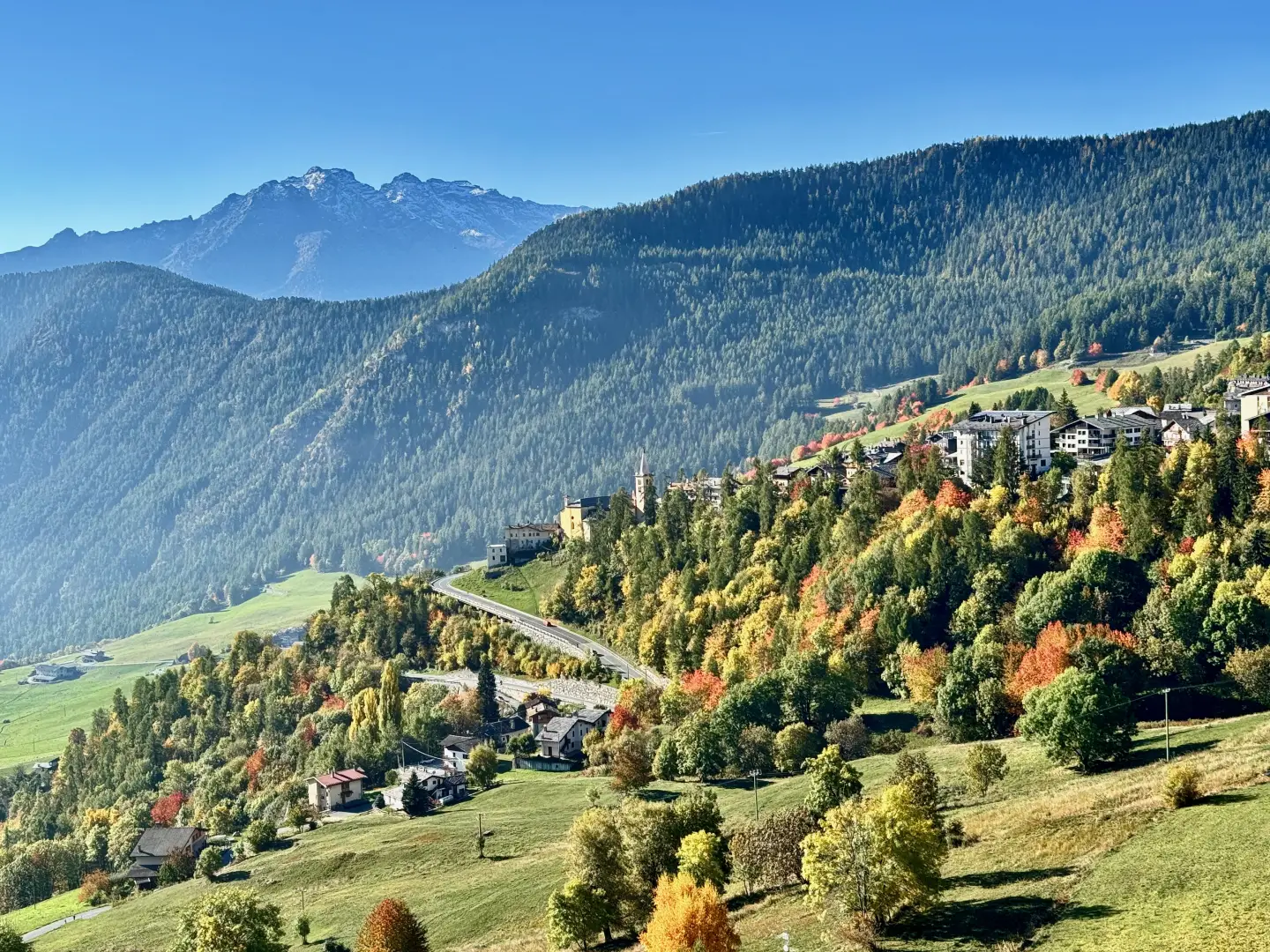
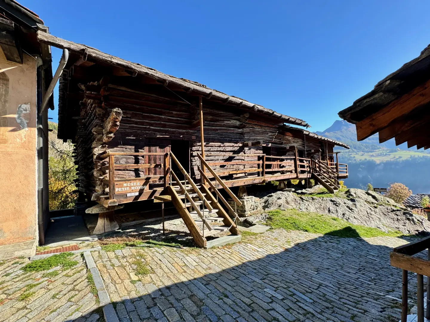
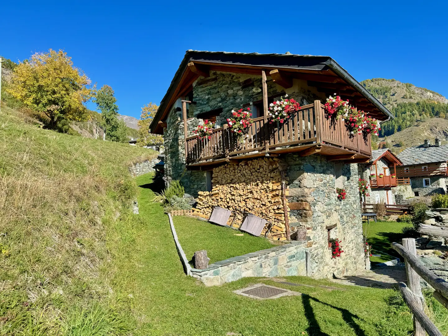
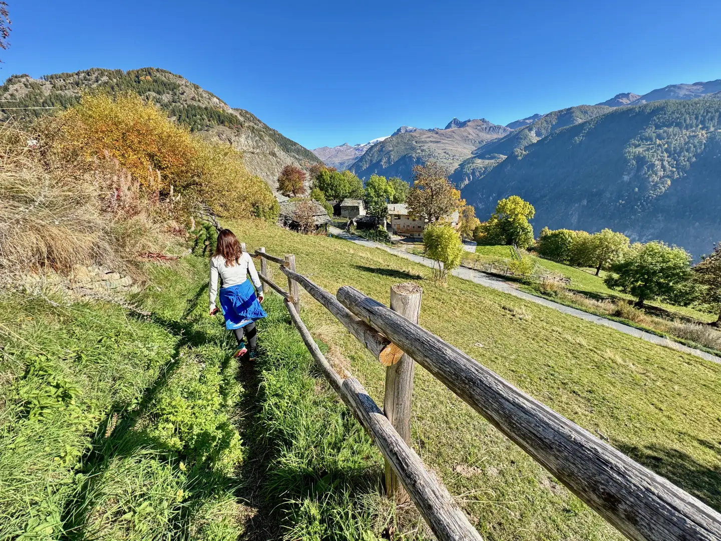
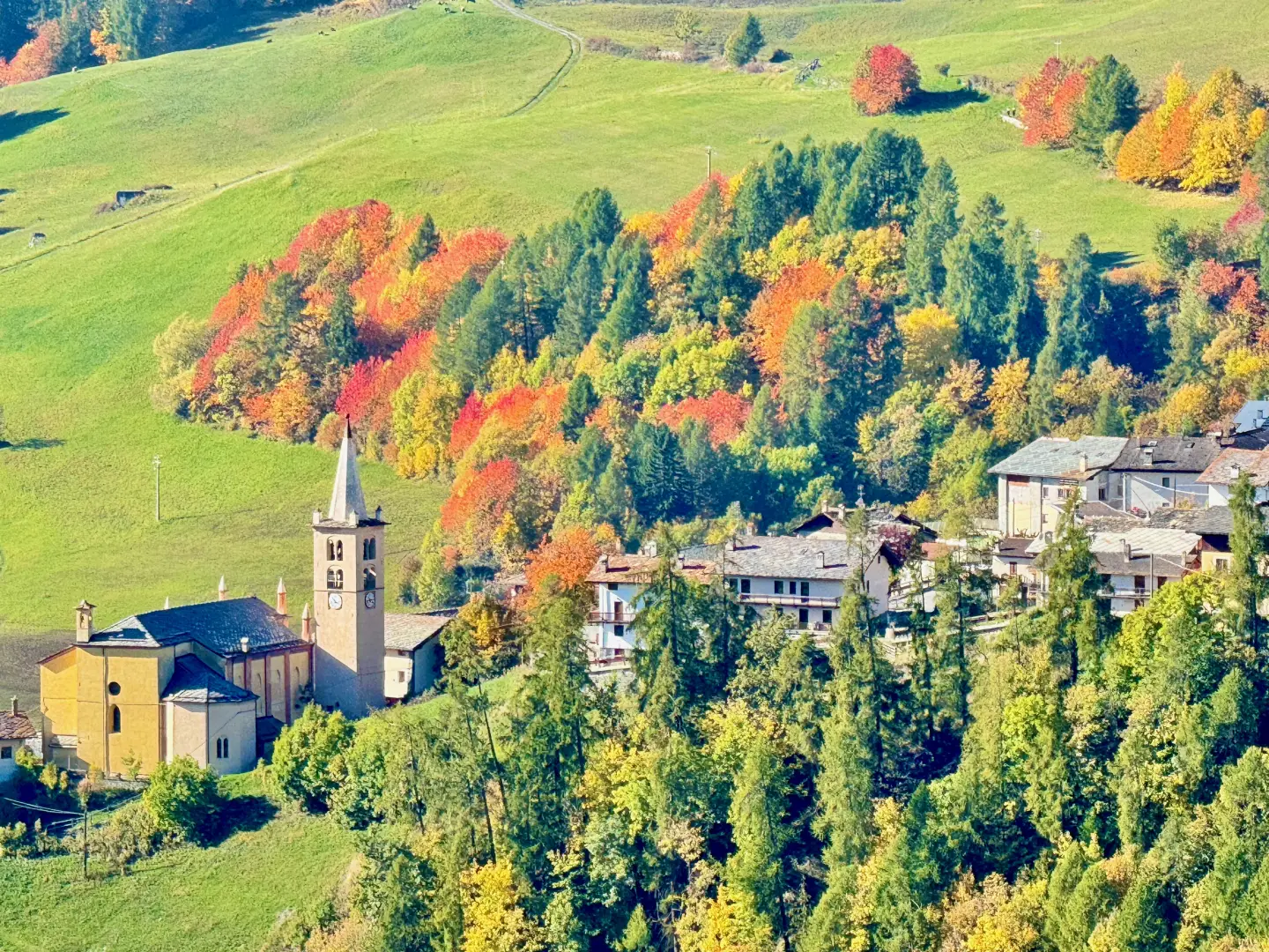
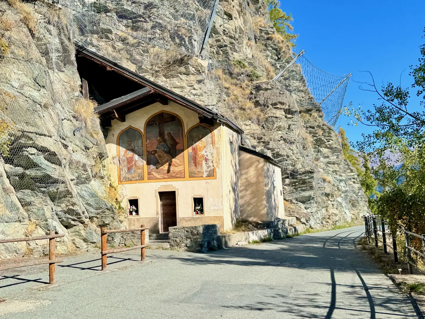
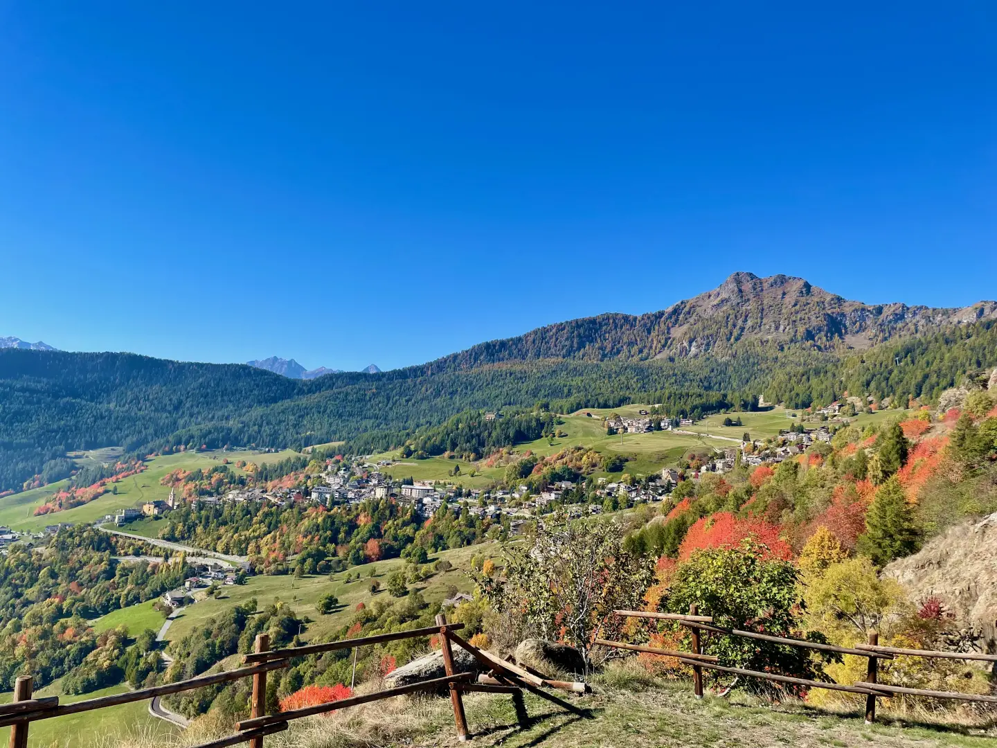
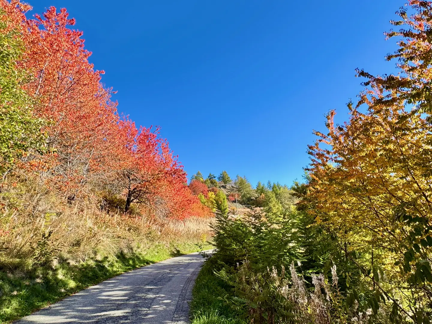
Short out-and-back excursion connecting Mognod to the village of Triatel across the sunny slopes of Torgnon, in lower Valtournenche, proving particularly evocative in October. In this season the foliage transforms larch forests and meadows into a mosaic of ochre and copper, enhanced by the intense red hues of wild blackthorn and bright yellows of birch, maple, and larch; the clear autumn light, grazing across the slopes, accentuates the colour variety and highlights the rural architecture that characterizes the basin. The route, simple and panoramic, follows a section of the Gran Balconata del Cervino crossing pastures and pastoral trails leading to the Chapel of Ponty, built against the rock as a place of rest and shelter. From here one enters the heart of Petit Monde, a complex of alpine villages bearing witness to the continuity of human settlement and mountain work culture, with arrival at the Chapel of Triatel dedicated to Saints Theodulus and Roch. The modest distance and contained elevation gain make the itinerary accessible to hikers of all abilities.
Description
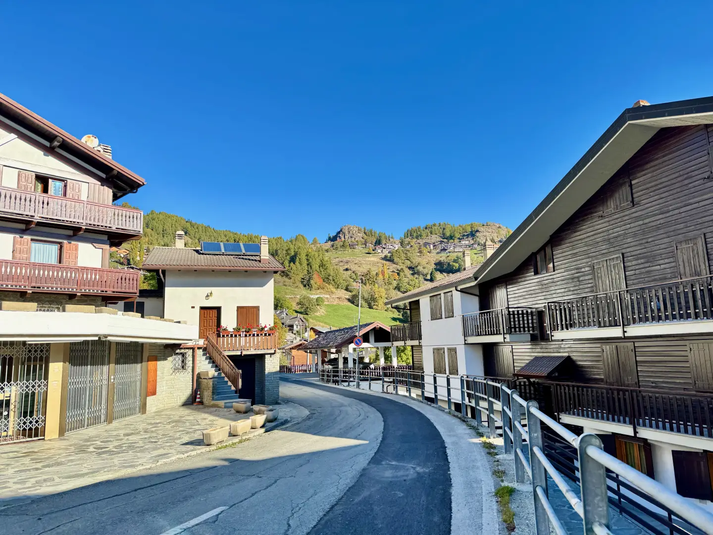
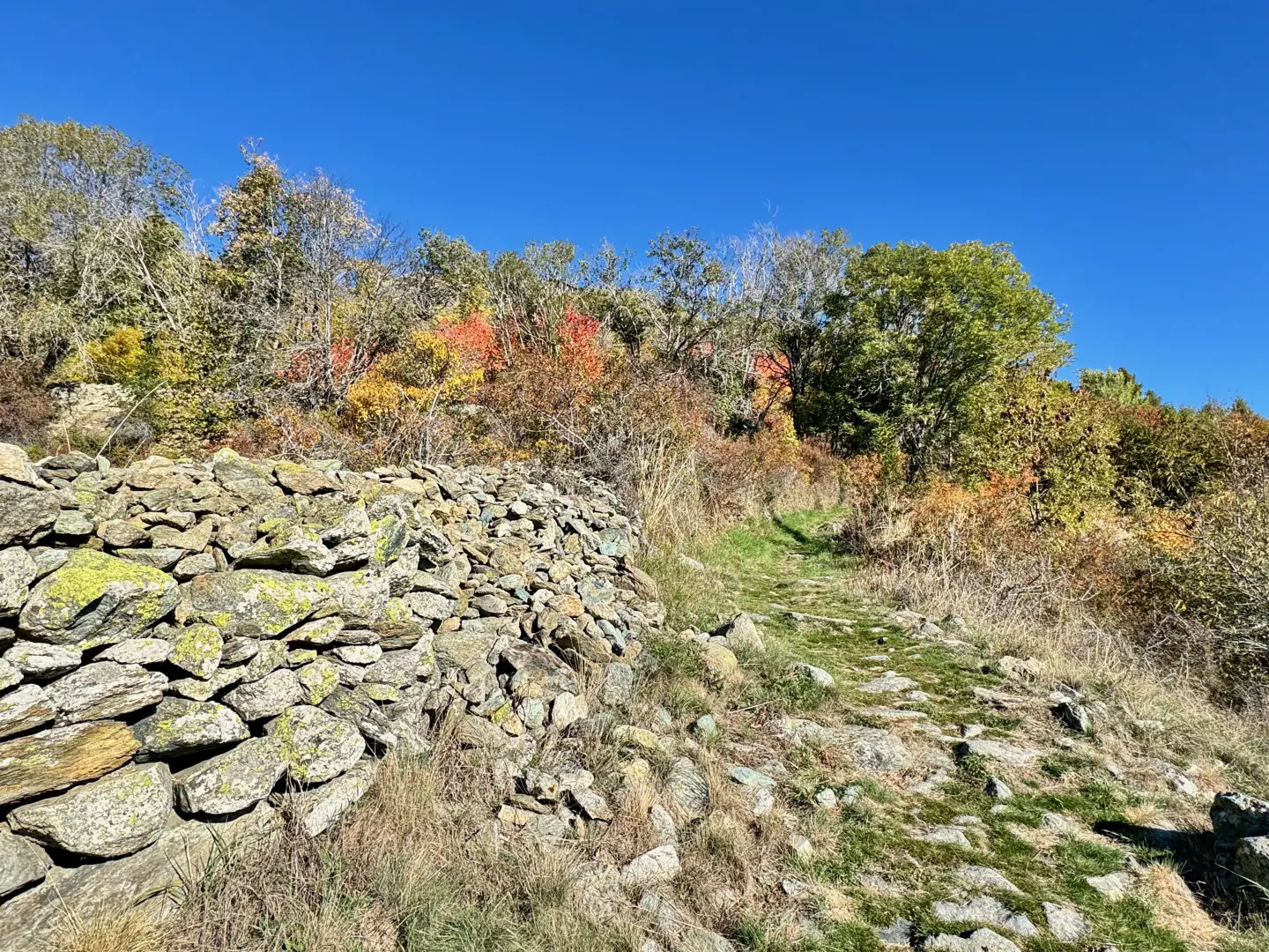
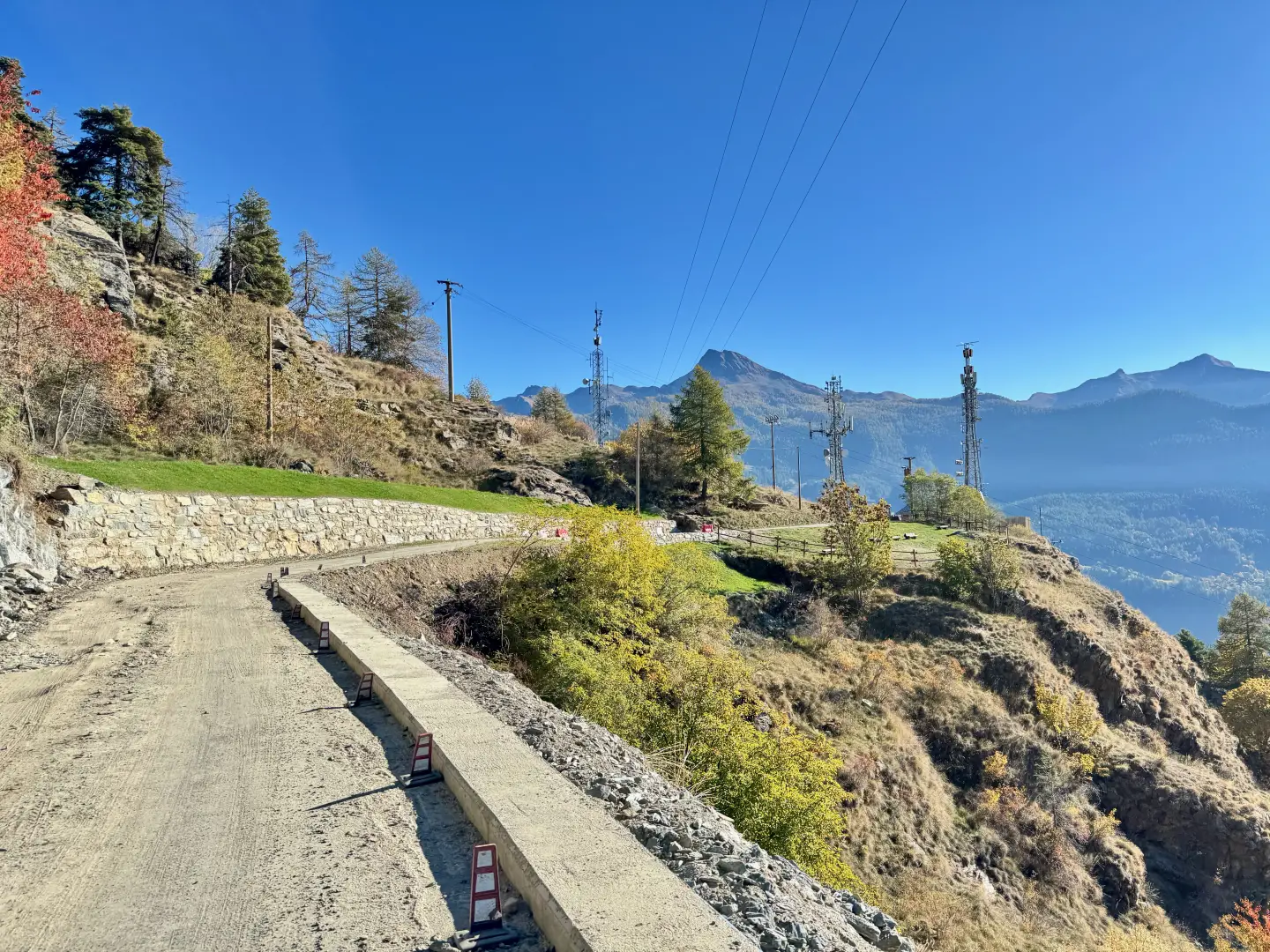
0h00' 0.00km Go up Rue Molinet for about 80 metres, then turn right onto Rue Croisette. After about 350 metres, having passed a few buildings, take a path to the left that enters the pastureland. After a short, almost flat stretch, leave the last houses of Cheille and continue slightly uphill through open and pleasant pastureland. The path becomes slightly steeper as it enters a wooded area that lights up with warm colours in autumn. Climb up the slope with an ascending half slope until reaching the municipal road to Étirol. Follow the latter to the right for about 200 metres until reaching the Croix de Djeun (1,614 m). Just before the crossroads, a rest area with benches and a panoramic table invites you to stop and appreciate the impressive view of Torgnon and the lower Valtournenche.
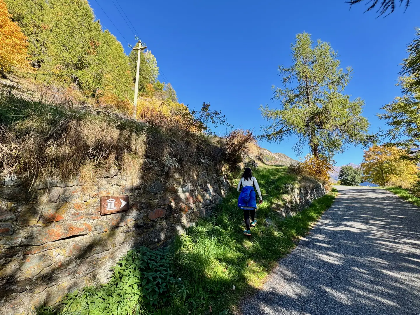
0h25' 1.41km Neglect the path that branches off to the left and continue downhill along the little road to Triatel and Étirol, until you reach the characteristic Ponty chapel (1,576m), leaning against the rock face. Continue along the little road, which becomes flat, until it meets the junction of a path on the left.
0h35' 2.19km Take the path, following the signs for the Petit Monde eco-museum, and proceed with slight ups and downs along the track, bordered by a wooden railing, until reaching the village of Triatel (1,597m), at the chapel dedicated to the saints Theodul and Roch. 0h40' 2.47km .
The return leg follows the same route back to Mognod (1,829m) 0h30' 2.47km .
.
Points of Interest
Collections
Photo gallery
Comments (0)
Sign in to leave a comment